Car-free mountain village · Bern
Gimmelwald
A car-free mountain village in the Bernese Oberland, between Stechelberg and Mürren, reachable only by cable car or on foot since 1967.
Gimmelwald is a small mountain village of the municipality of Lauterbrunnen, in the Bernese Oberland, perched at 1,367 m between Stechelberg, on the valley floor at 867 m, and Mürren, higher up at 1,650 m; it stands at the foot of the Jungfrau-Aletsch UNESCO World Heritage site. No road reaches it: access is by the Stechelberg-Mürren-Schilthorn cable car, opened in 1967, or on foot along a narrow 2.7 km path from Stechelberg; a 2.2 km via ferrata, opened in 2008, also links the village to Mürren, 2.3 km away by road.
Gimmelwald is first mentioned in 1346 in a bill of sale; it is an Alemannic linear village founded by Walser settlers — the 1346 document already refers to inhabitants 'from the Lötschental'. The oldest house, built in 1658, still follows the Walser style. Because of its intact and exceptional townscape, the village is listed in the Swiss inventory of heritage sites (ISOS).
Farming — hay cut on small plots to feed small herds — and tourism keep the village going; in winter, farmers often also work for the Schilthorn cable car, maintaining lifts or ski slopes. The population reached its peak in the 1930s. Today Gimmelwald has few inhabitants — 130 in 2003 — and its school, closed in 2010 for lack of pupils, was bought in 2019 by a locally founded cooperative to convert it into housing and slow the departure of residents.
Gimmelwald belongs to the Jungfrau region's tourism network; the village has a small hotel, a former guesthouse now run by British owners, a bed and breakfast, and the Mountain Hostel. It never became a large ski resort: its — only partly justified — designation as an avalanche zone kept it from that fate.
Why this place is remarkable
No road reaches Gimmelwald: the village, an Alemannic linear village founded by Walser settlers and first mentioned in 1346, sits on a shelf between Stechelberg, down in the valley, and Mürren, higher up, at the foot of the Jungfrau-Aletsch UNESCO site. Its oldest house dates from 1658; cable-car access was only secured in 1967, and since 2019 a residents' cooperative has been buying up buildings rather than seeing them become holiday flats.
History and origin
The village is first mentioned in 1346 in a bill of sale, which already refers to inhabitants 'from the Lötschental'; Gimmelwald is an Alemannic linear village founded by Walser settlers, and its oldest house, built in 1658, still keeps that style. Left without road access, it was only connected to the transport network in 1967, with the opening of the Stechelberg-Mürren-Schilthorn cable car; before that it could only be reached on foot, with difficulty, from Stechelberg or Mürren. Its intact and representative townscape earns it a place in the Swiss inventory of heritage sites.
What to do and see
- Discover the Alemannic street-village founded by Walser settlers, mentioned as early as 1346, and its oldest house built in 1658.
- Observe the village's position, with no road at all, between Stechelberg in the valley and Mürren higher up, at the foot of the Jungfrau-Aletsch UNESCO site.
- Reach the village via the 2.7 km trail from Stechelberg, by the Stechelberg-Mürren-Schilthorn cable car opened in 1967, or by the 2.2 km via ferrata opened in 2008.
Coming with family: what to know
- Access is only by cable car, on foot via a narrow 2.7 km trail, or via a 2.2 km via ferrata — no road leads to the village.
As a couple
- Reach the village on foot via the narrow trail from Stechelberg, or by the cable car opened in 1967.
- Observe the intact and representative Walser village fabric, listed in the Swiss inventory of sites to be protected.
- Look from Gimmelwald at the nearby Jungfrau-Aletsch UNESCO site.
Location
Loads an interactive Google Maps view on demand, from the place's verified coordinates.
The embedded map will be enabled once an authorized Google Maps key is configured. Use the link above in the meantime.
The map could not load. Check your connection or use the link above to open the place in Google Maps.
Related places
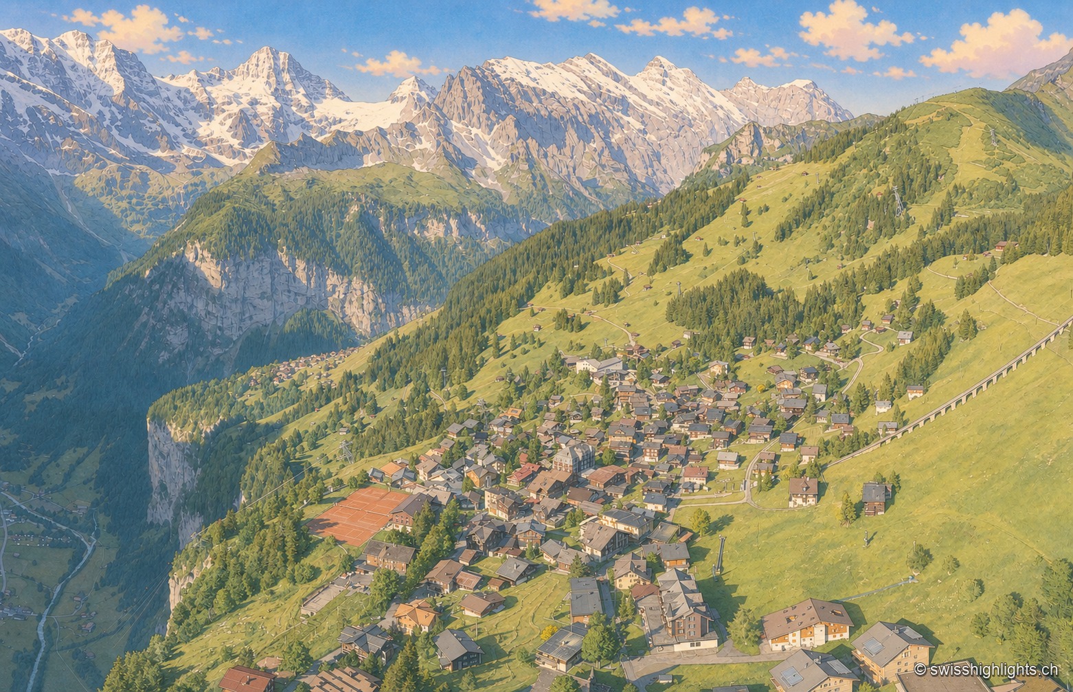
Car-free village · Bernese Alps · 1 km as the crow flies
Mürren
Overlooked by the Schilthorn (2,970 m), Mürren was one of the Alps' earliest homes of alpine skiing: the Downhill Only Club forged the discipline there, and Arnold Lunn invented the slalom in 1922. Reachable only by cable car and train.
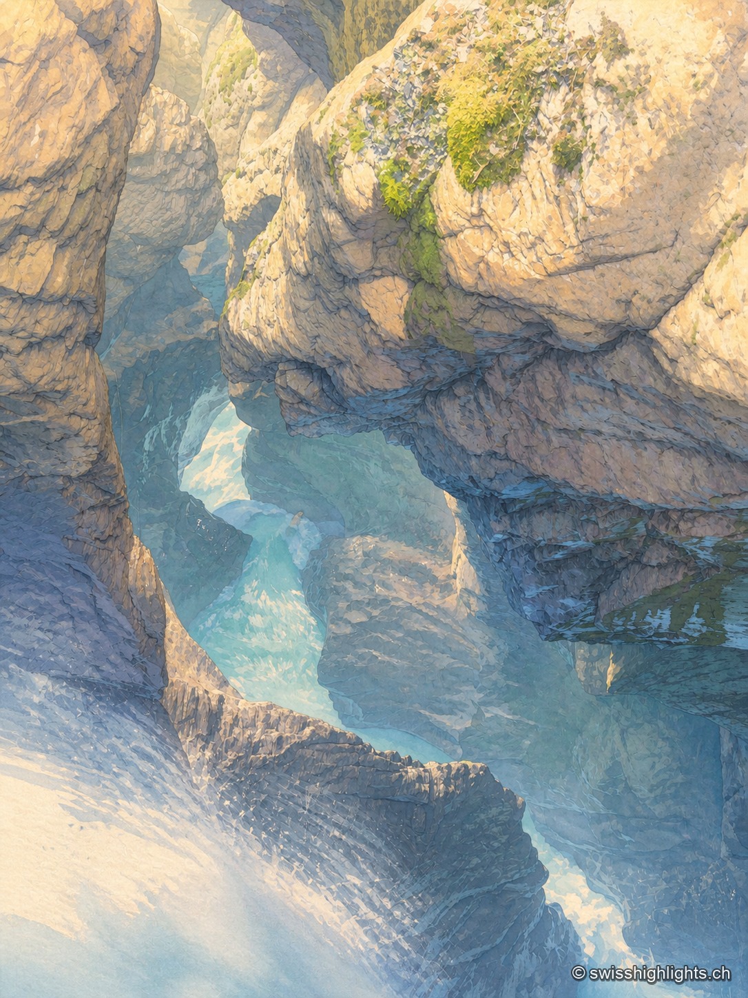
Underground falls · Bernese Oberland · 3 km as the crow flies
Trümmelbach Falls
The Trümmelbach alone drains the glacier faces of the Eiger, the Mönch and the Jungfrau: up to 20,000 litres a second in a gorge so narrow that daylight no longer reaches the upper falls.
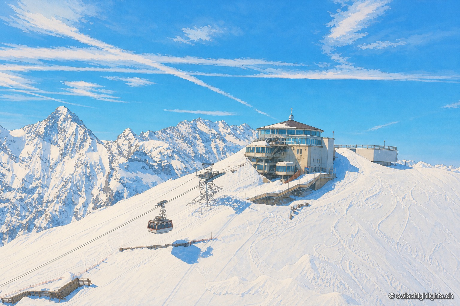
Summit · Bernese Alps · 5 km as the crow flies
Schilthorn
No road reaches Mürren or the summit: getting there takes a chain of cable cars, via Gimmelwald and then Birg. The revolving Piz Gloria restaurant, which turns full circle in fifty-five minutes, served as the set for On Her Majesty's Secret Service.