Underground falls · Bernese Oberland
Trümmelbach Falls
Ten glacier-fed falls enclosed in the rock of the Lauterbrunnen valley, dropping 140 metres, reached by a lift cut into the mountain.
The Trümmelbach Falls cannot be seen from the valley. The torrent has sawn a very tight gorge into the eastern wall of the Lauterbrunnen valley, one that barely widens towards the top, and it is inside that slot that the water descends: ten successive falls, 140 metres from the first to the last. The highest ones lie so deep in the rock that no daylight reaches them — hence their name of underground falls.
The power of the place comes from what it drains. The Trümmelbach is the sole outlet of the glacier faces of the Eiger (3,970 m), the Mönch (4,099 m) and the Jungfrau (4,158 m): a catchment of 24 square kilometres, about half of which stays under snow and ice. The flow can reach 20,000 litres a second and the torrent carries away 20,200 tonnes of gravel and silt each year — a load that can be read directly in the milky colour of the water.
Access is a piece of mining work: more than 600 metres of galleries and stairways driven into the mountain, together with an inclined lift that takes up about a hundred metres of the climb. The site lies between the village of Lauterbrunnen and the hamlet of Stechelberg, in the canton of Bern, and remains privately owned.
Why this place is remarkable
Few Alpine waterfalls are visited from inside the mountain. Here the gorge is too narrow to give anything away from outside: you have to go into the rock to watch the water at work. What passes through is not a mountain stream but the concentrated runoff of three of the highest glacier faces in the Bernese Alps, up to 20,000 litres a second, in a slot the mountain closes over.
History and origin
The works were built in stages, following the growth of Alpine tourism: a first hotel opened in 1839, stairways reached the lower falls around 1880, and the lift brought into service in 1913 finally opened the upper falls, which the gorge had kept out of reach; further hotels followed from 1926. The site lies within the perimeter of the UNESCO property Swiss Alps Jungfrau-Aletsch and is listed in the Federal Inventory of Landscapes and Natural Monuments of National Importance.
What to do and see
- Take the inclined lift and the galleries cut into the rock to reach the upper falls, invisible from the valley.
- Observe the milky colour of the water, carrying 20,200 tonnes of pebbles and silt every year.
- Follow the ten successive falls over 140 metres of elevation drop, the sole outlet for the glacial faces of the Eiger, Mönch and Jungfrau.
Coming with family: what to know
- Access runs through more than 600 metres of galleries and stairs cut into the mountain, plus a lift: an indoor rock route with no direct view of the valley.
As a couple
- Step together into the rock cleft to watch the water at work, an experience few alpine waterfalls offer from the inside.
- Picture the flow, up to 20,000 litres per second, fed by the glaciers of the Eiger, Mönch and Jungfrau.
- Combine the visit with a walk through the Lauterbrunnen valley, between Lauterbrunnen and Stechelberg.
The site is privately owned and the falls can only be approached through the operator's galleries and lift: there is no free access to the gorge.
The site is privately owned, and the falls can only be approached via the operator's galleries and lift, with no free access to the gorge.
Location
Loads an interactive Google Maps view on demand, from the place's verified coordinates.
The embedded map will be enabled once an authorized Google Maps key is configured. Use the link above in the meantime.
The map could not load. Check your connection or use the link above to open the place in Google Maps.
Related places
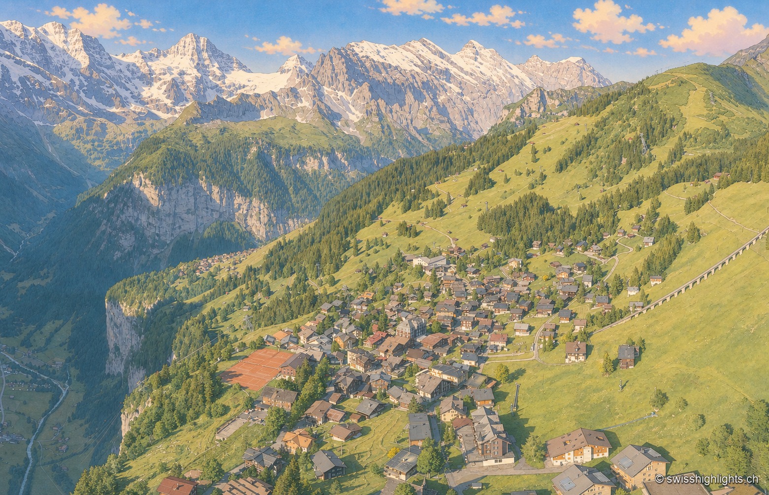
Car-free village · Bernese Alps · 2 km as the crow flies
Mürren
Overlooked by the Schilthorn (2,970 m), Mürren was one of the Alps' earliest homes of alpine skiing: the Downhill Only Club forged the discipline there, and Arnold Lunn invented the slalom in 1922. Reachable only by cable car and train.
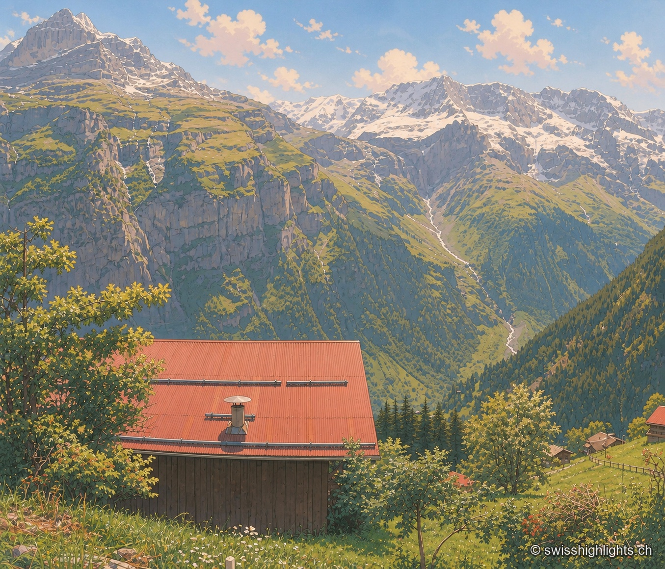
Car-free mountain village · Bern · 3 km as the crow flies
Gimmelwald
130 inhabitants in 2003, a Walser house from 1658, an access still impossible by car: Gimmelwald stands at 1,367 m between Stechelberg (867 m) and Mürren (1,650 m), at the foot of the Jungfrau-Aletsch UNESCO site.
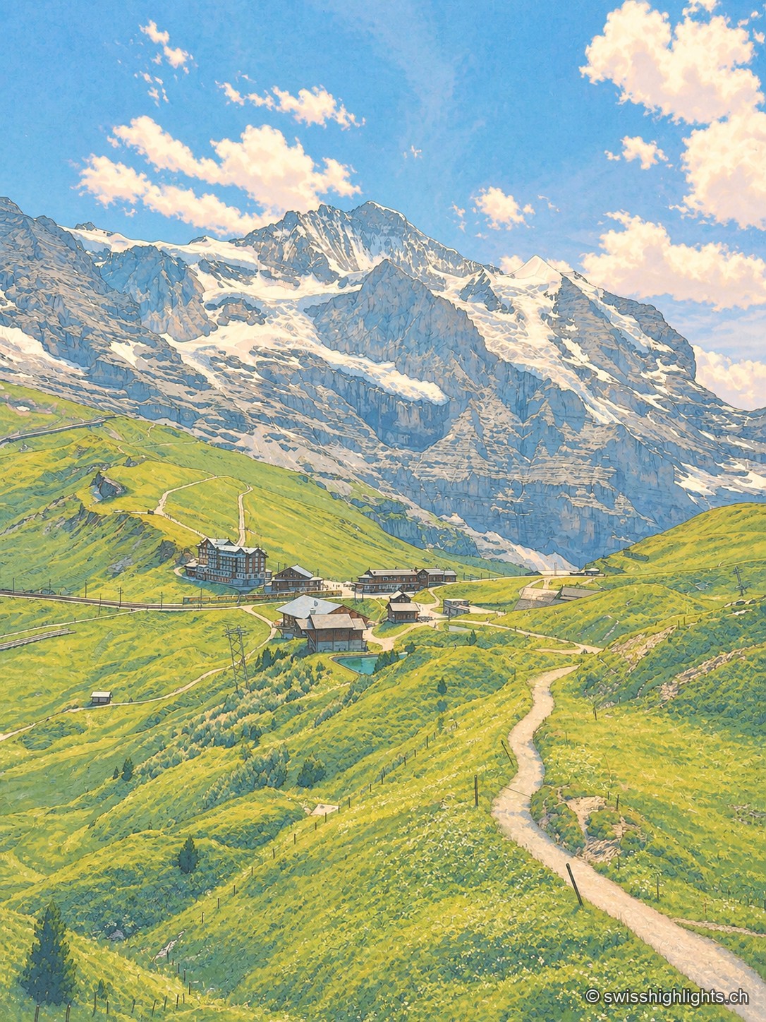
Railway pass · Bernese Oberland · 4 km as the crow flies
Kleine Scheidegg
The pass divides only the two arms of the Lütschine, hence its name, the minor watershed. From it the Eiger at 3,967 metres, the Mönch at 4,110 and the Jungfrau at 4,158 appear at once. The first hotel was built here in 1840.