High-altitude lake · Bernese Oberland
Oeschinensee
At 1578 metres above Kandersteg, a lake held back by a rockfall and overlooked by summits that all pass 3000 metres.
The Oeschinensee lies at 1578 metres above Kandersteg, in the Bernese Oberland. It covers 1.1 square kilometres, measures about 1.6 kilometres long by one kilometre wide, and reaches 56 metres in depth. A cirque of peaks that all pass the 3000-metre mark overlooks it: the Blüemlisalp, the Oeschinenhorn, the Fründenhorn and the Doldenhorn. The difference in altitude between the water surface and these summits thus exceeds 1400 metres.
The lake is held back by rock masses detached from the Fründenhorn and the Doldenhorn, which dammed the valley. That dam explains a peculiarity: the lake has no visible outflow. The Öschibach disappears beneath the fallen blocks and continues its course underground, so that the water leaves the basin without being seen to go.
The lake has been part of the UNESCO World Heritage property Swiss Alps Jungfrau-Aletsch since 2007. The property had been inscribed in 2001 under the name Jungfrau-Aletsch-Bietschhorn, over 53,888 hectares, before being extended in 2007 to 82,388 hectares; its perimeter covers the Aar massif, of which the Oeschinensee marks the western limit. The centre responsible for its management describes an ensemble of 824 square kilometres spread over the cantons of Bern and Valais.
Why this place is remarkable
A rockfall-dammed lake at 1578 metres, without surface outflow, backed by walls that rise more than 1400 metres above it, and lying exactly at the western limit of the UNESCO Jungfrau-Aletsch perimeter.
History and origin
Dammed lake formed by rock collapses from the Fründenhorn and the Doldenhorn. Area 1.1 square kilometres, length 1.6 kilometres, width 1 kilometre, maximum depth 56 metres, mean level at 1578 metres. No surface outflow: the Öschibach passes underground beneath the fallen blocks. The lake has been included since 2007 in the World Heritage property Swiss Alps Jungfrau-Aletsch, inscribed in 2001 over 53,888 hectares and extended in 2007 to 82,388 hectares.
What to do and see
- Take in the ring of peaks that tower more than 1400 metres above the lake: the Blüemlisalp, the Oeschinenhorn, the Fründenhorn and the Doldenhorn.
- Note the rock masses that broke off the Fründenhorn and the Doldenhorn, which dammed the small valley and formed the lake.
- Look in vain for a visible outlet: the Öschibach disappears under the fallen boulders and continues its course underground.
- Locate the lake at the western edge of the Jungfrau-Aletsch Swiss Alps UNESCO site, whose perimeter covers the Aar massif.
As a couple
- Enjoy the overall view of the lake, 1.6 km long and 1 km wide, framed by walls that exceed 3000 metres.
- Walk along the shore looking for traces of the natural dam formed by the rock falls.
- Stop to observe the geological curiosity of the place: a body of water with no visible surface outflow.
Location
Loads an interactive Google Maps view on demand, from the place's verified coordinates.
The embedded map will be enabled once an authorized Google Maps key is configured. Use the link above in the meantime.
The map could not load. Check your connection or use the link above to open the place in Google Maps.
Related places
Summit · Bernese Alps · 11 km as the crow flies
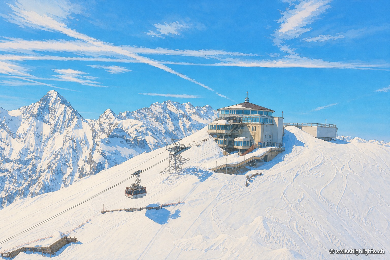
Schilthorn
No road reaches Mürren or the summit: getting there takes a chain of cable cars, via Gimmelwald and then Birg. The revolving Piz Gloria restaurant, which turns full circle in fifty-five minutes, served as the set for On Her Majesty's Secret Service.
Car-free mountain village · Bern · 14 km as the crow flies
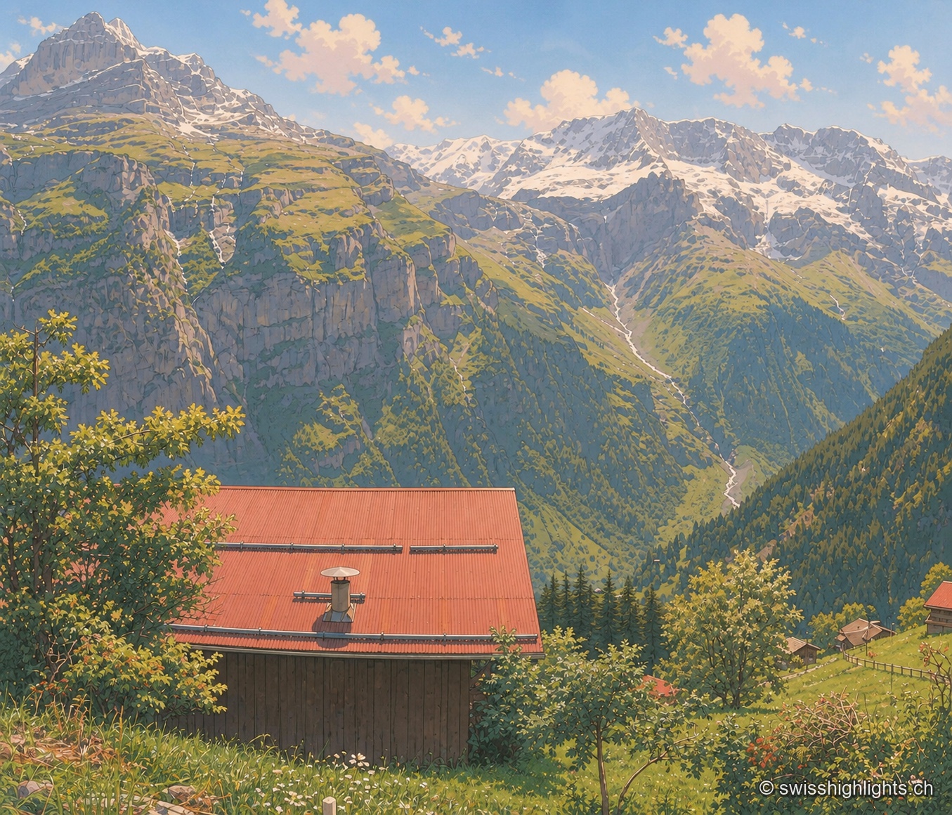
Gimmelwald
130 inhabitants in 2003, a Walser house from 1658, an access still impossible by car: Gimmelwald stands at 1,367 m between Stechelberg (867 m) and Mürren (1,650 m), at the foot of the Jungfrau-Aletsch UNESCO site.
Car-free village · Bernese Alps · 14 km as the crow flies
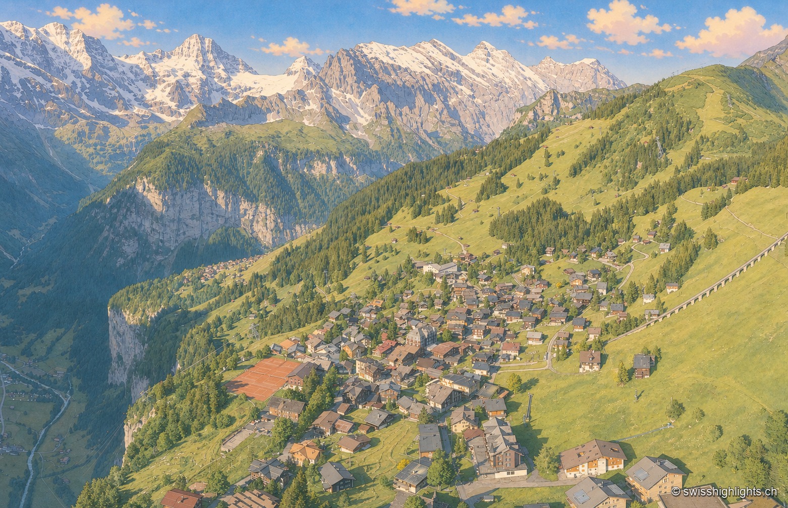
Mürren
Overlooked by the Schilthorn (2,970 m), Mürren was one of the Alps' earliest homes of alpine skiing: the Downhill Only Club forged the discipline there, and Arnold Lunn invented the slalom in 1922. Reachable only by cable car and train.