Village and garden · Basel-Land
Arlesheim
District capital in Basel-Landschaft, where a seventeenth-century canons' square adjoins the Ermitage, the largest English landscape garden in Switzerland.
Arlesheim lies between the Birs and the Gempen plateau, at the centre of the Birseck district, and serves as the capital of the Basel-Landschaft district that bears its name. The centre of the village is not a street but a square: the one laid out by the canons of the Basel cathedral chapter when they arrived from Freiburg im Breisgau in 1679. Their collegiate church and their houses close it. The plans are by Jakob Engel, an architect from Mesocco; the residence was built between 1679 and 1692, the square itself between 1679 and 1687.
The interior of the collegiate church was reworked between 1759 and 1761 by Franz Anton Bagnato. Giuseppe Appiani painted the walls, ceilings and altars; Francesco Pozzi executed the stuccoes after a model by Johann Michael Feuchtmayer; the organ is by Johann Andreas Silbermann. At the edge of the village, the Andlauerhof, a noble residence of 1616, and the ruin of Birseck castle, whose origins go back to the thirteenth century, mark the entrance to the wooded estate.
The Ermitage covers some forty hectares: it is the largest English landscape garden in Switzerland. Balbina von Andlau-Staal and her cousin, canon Heinrich von Ligerz, took the initiative; it opened on 28 June 1785. Grottoes, ponds and paths compose a deliberate route, and one of the caves yielded the oldest known Neolithic burial in Switzerland. Part of the garden burned at the end of 1792, before being almost entirely destroyed by French troops in 1793; what one walks through today dates mainly from the rebuilding begun in 1812 by Conrad von Andlau, Balbina's son, with the help of Ligerz.
Why this place is remarkable
Two gestures of the same period stand here a few minutes' walk apart: a canons' square laid out in a single design from 1679, and a forty-hectare landscape garden opened in 1785, the largest of its English kind in the country. The second was destroyed in 1793 and raised again from 1812, so that what one reads there is less a setting of the Enlightenment than a reconstruction of the early nineteenth century.
History and origin
The ground has been occupied since the Palaeolithic: skeletons, tools, querns and ornaments have been unearthed in the caves of the Ermitage and the Hollenberg. In 1239, under the spelling Arlisheim, the place was attached to the diocese of Basel. The castles of Birseck and Reichenstein were ruined by the Basel earthquake of 1356, then rebuilt. The cathedral chapter settled here in 1679. Attached to Switzerland by the Congress of Vienna in 1815, the commune became a district capital in 1833, at the creation of the half-canton of Basel-Landschaft. Since September 1999 the Ermitage has been listed in the cantonal inventory of protected natural objects.
What to do and see
- Discover the square laid out by the canons of the Basel cathedral chapter from 1679 onward, enclosed by their collegiate church and houses.
- Observe in the collegiate church the paintings by Giuseppe Appiani, the stuccoes by Francesco Pozzi and the organ by Johann Andreas Silbermann.
- Stroll through the Ermitage, forty hectares of English-style landscape garden opened in 1785, among grottoes and ponds.
- Reach the ruined Birseck castle, whose origins date back to the 13th century, at the entrance to the wooded estate.
Coming with family: what to know
- The forty hectares of paths, grottoes and ponds of the Ermitage offer a vast walking ground, with no indication of specific facilities for young children.
As a couple
- Walk the paths of the Ermitage, among grottoes and ponds, for a landscaped stroll across forty hectares.
- Linger on the canons' square, laid out as a whole from 1679 onward.
- Admire together the interior of the collegiate church, with its paintings, stuccoes and Silbermann organ.
Location
Loads an interactive Google Maps view on demand, from the place's verified coordinates.
The embedded map will be enabled once an authorized Google Maps key is configured. Use the link above in the meantime.
The map could not load. Check your connection or use the link above to open the place in Google Maps.
Related places
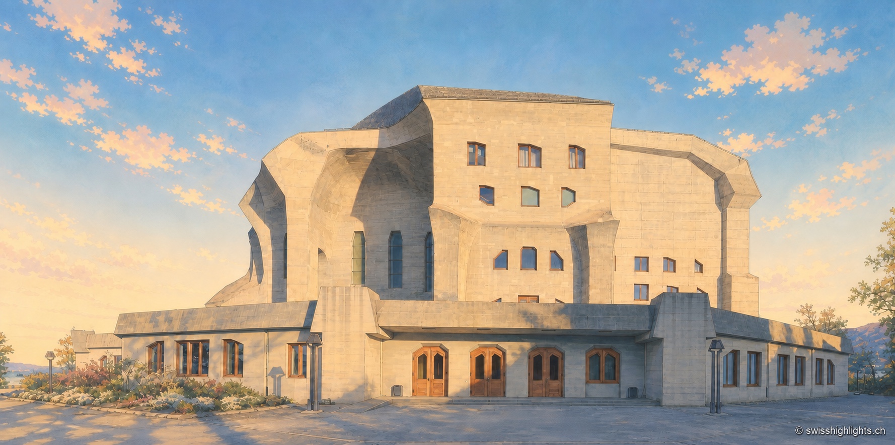
Monument · Dornach, Solothurn · 1 km as the crow flies
Goetheanum
The first building, in wood, burned down on New Year's night 1923. The second, raised from 1925 to 1928, was the first monumental building in reinforced concrete; its great hall was not inaugurated until 1998.
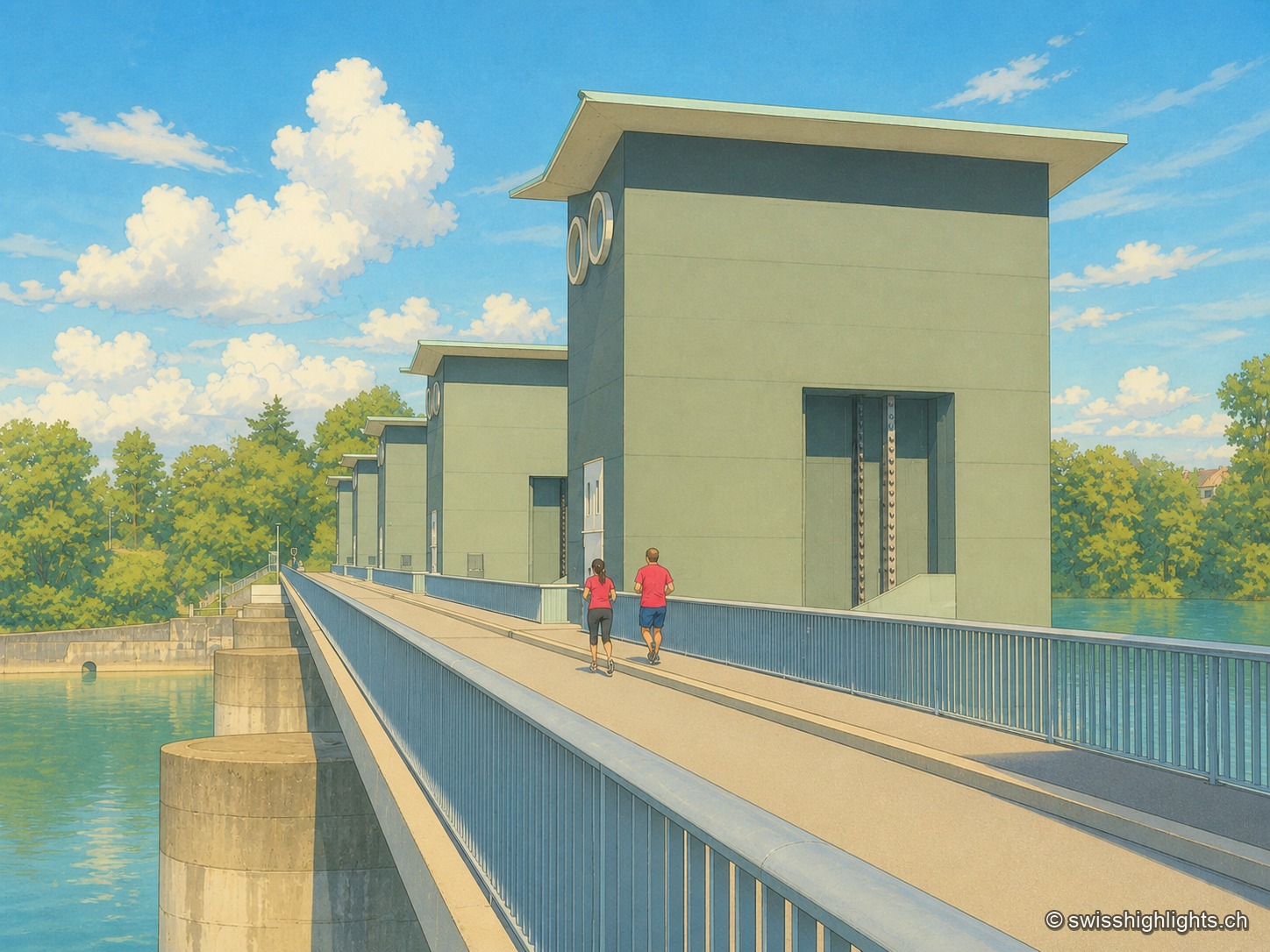
Run-of-river plant · Rhine · 8 km as the crow flies
Birsfelden power station
Four Kaplan turbines under a 12-metre head, two locks for the barges, and over the whole thing a path open to walkers and cyclists. Between 2006 and 2015 the plant produced an average of 570 GWh a year.
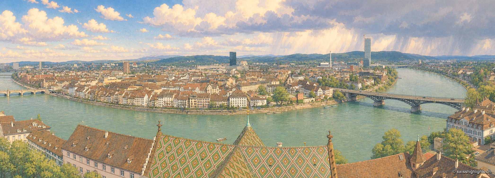
Rhine city · Basel-Stadt · 8 km as the crow flies
Basel
The Rhine bends here before leaving Switzerland; the city spans it and touches France and Germany. A university founded in 1460, some forty museums in the canton, a carnival on UNESCO's intangible heritage list.