Wine village · Neuchâtel
Auvernier
On the north shore of Lake Neuchâtel, a winegrowers' village whose main street is lined with houses from the sixteenth to the eighteenth century.
Auvernier occupies 1.68 km² between Lake Neuchâtel and south-facing slopes: 46.5% of its land is still farmed, 47.1% is built up, and woodland comes to only 3.5%. The village grew on two resources, fishing and the vine — the perch on its arms speaks for the first, the terraced plots for the second. The main street crosses the village from top to bottom, wide and cobbled, lined with houses of the sixteenth and seventeenth centuries; at 1 rue de la Roche, the house known as the Hôpital de Soleure sets its two wings against a stair turret whose Renaissance doorway bears the date 1570.
The name is first written in 1011, as Averniacum, in the deed by which Rudolph III of Burgundy endowed his betrothed Ermengarde. Settlement is far older: lake excavations place the first permanent dwellers at 3850 BC, and two Roman statuettes — a Jupiter brought to light by a winegrower in 1864, a fighting Hercules in 1896 — attest the site in antiquity. In 1346 a dispute with Colombier fixed the boundaries of the territory. On 1 January 2013 Auvernier ceased to be a commune of its own: it joined Bôle and Colombier within the commune of Milvignes.
The castle was built for Blaise Junod, commissioner and receiver of Valangin: a coherent sixteenth-century ensemble, its main block flanked by two turrets is dated 1559, a gallery was added on the north side in 1746, and the wrought-iron garden gates are of the eighteenth century; its wide vaulted cellars speak of a wine vocation never interrupted. The reformed church, originally the chapel of St Nicholas, was enlarged in 1598 and again in 1709, which explains its very irregular plan; its stained glass, designed by Ivan Moscatelli, was inaugurated in 1995. At the Maison Carrée, two vertical wooden hand presses are still in use.
The last two centuries came close to the village without undoing it. The railway arrived with the Pied-du-Jura and Verrières lines, built between 1859 and 1860; the Neuchâtel–Boudry tramway has served the place since 1892. The Jura water correction of 1880 freed new ground to the south, and in 1888 the canton established its cantonal school of viticulture here. Building the A5 motorway, from 1970 to 1977, went with a reshaping of the shore that produced a marina and a leisure area; since 1974 the law has protected the plots reserved for vines, which has bounded the spread of building. The village counted 1713 inhabitants at the end of 2025.
Why this place is remarkable
What sets Auvernier apart is not only its age — 1011 for the first written mention — but the continuity of its trade. The canton has trained its winegrowers here since 1888, the law has protected its vineyard plots since 1974, and the vaulted cellars of the castle of 1559 and the two wooden presses of the Maison Carrée are still in use. The cobbled street lined with houses of the sixteenth and seventeenth centuries is the fabric of an economy that was never interrupted.
History and origin
Lake excavations place the first permanent dwellers around 3850 BC; antiquity left two statuettes, a Jupiter found in 1864 by a winegrower at Les Lerins and a fighting Hercules brought to light in 1896. The first written mention, Averniacum, dates from 1011. The chapel of St Nicholas was raised at the end of the fifteenth century, enlarged in 1598 and then in 1709; the main block of the castle is dated 1559. In 1880 the Jura water correction gave the place new ground south of the village.
What to do and see
- Walk up the paved main street, lined with 16th- and 17th-century houses, to the Hôpital de Soleure house and its turret dated 1570.
- Observe the 1559 castle, its body flanked by two turrets and its gallery added in 1746, with its vaulted cellars still used for wine.
- Look for the two vertical wooden hand presses still in use at the Maison Carrée.
- See the temple, a former Saint-Nicolas chapel enlarged in 1598 and then in 1709, with its 1995 stained-glass windows.
Coming with family: what to know
- The paved street and the lakeshore offer a flat route, suited to a family walk through the wine-growing village.
As a couple
- Walk down the paved street lined with old houses to the shore of Lake Neuchâtel.
- Stop in front of the vaulted cellars of the 1559 castle, still devoted to the vine.
- Enjoy the marina and the leisure area laid out during the reshaping of the shores in the 1970s.
Location
Loads an interactive Google Maps view on demand, from the place's verified coordinates.
The embedded map will be enabled once an authorized Google Maps key is configured. Use the link above in the meantime.
The map could not load. Check your connection or use the link above to open the place in Google Maps.
Related places
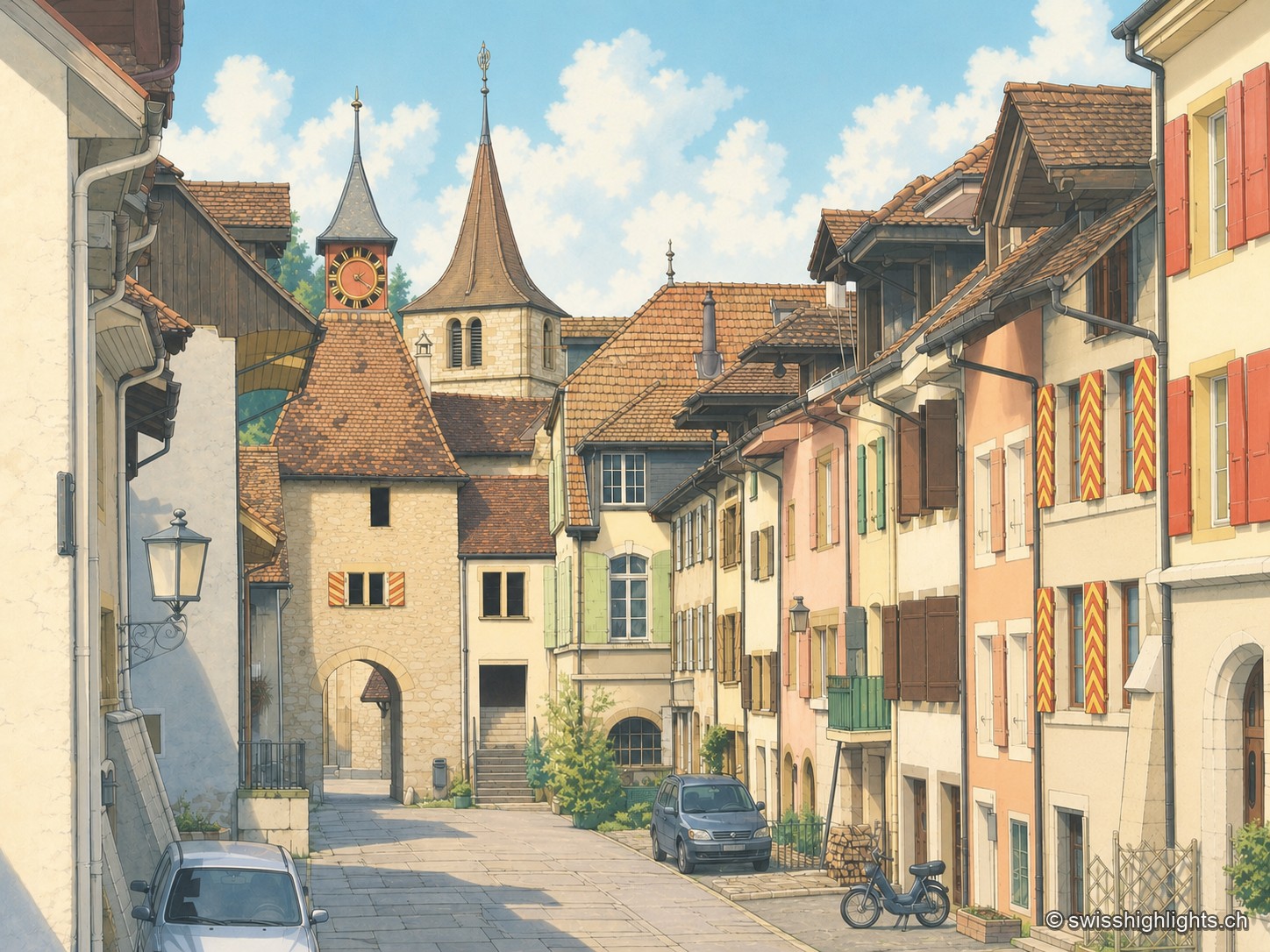
Village · Neuchâtel · 5 km as the crow flies
Valangin
The castle holds the rock that commands the passage; the bourg was founded below it around 1330, the collegiate church consecrated in 1505. In 1853 the beds described here gave their name to the Valanginian.

Rock cirque · Neuchâtel · 12 km as the crow flies
Creux du Van
A limestone wall closes an arc 1,000 to 1,400 metres across. Ibex, chamois and lynx live in the 15.5 km² reserve around the cirque, crowned by Le Soliat at 1,464 metres.
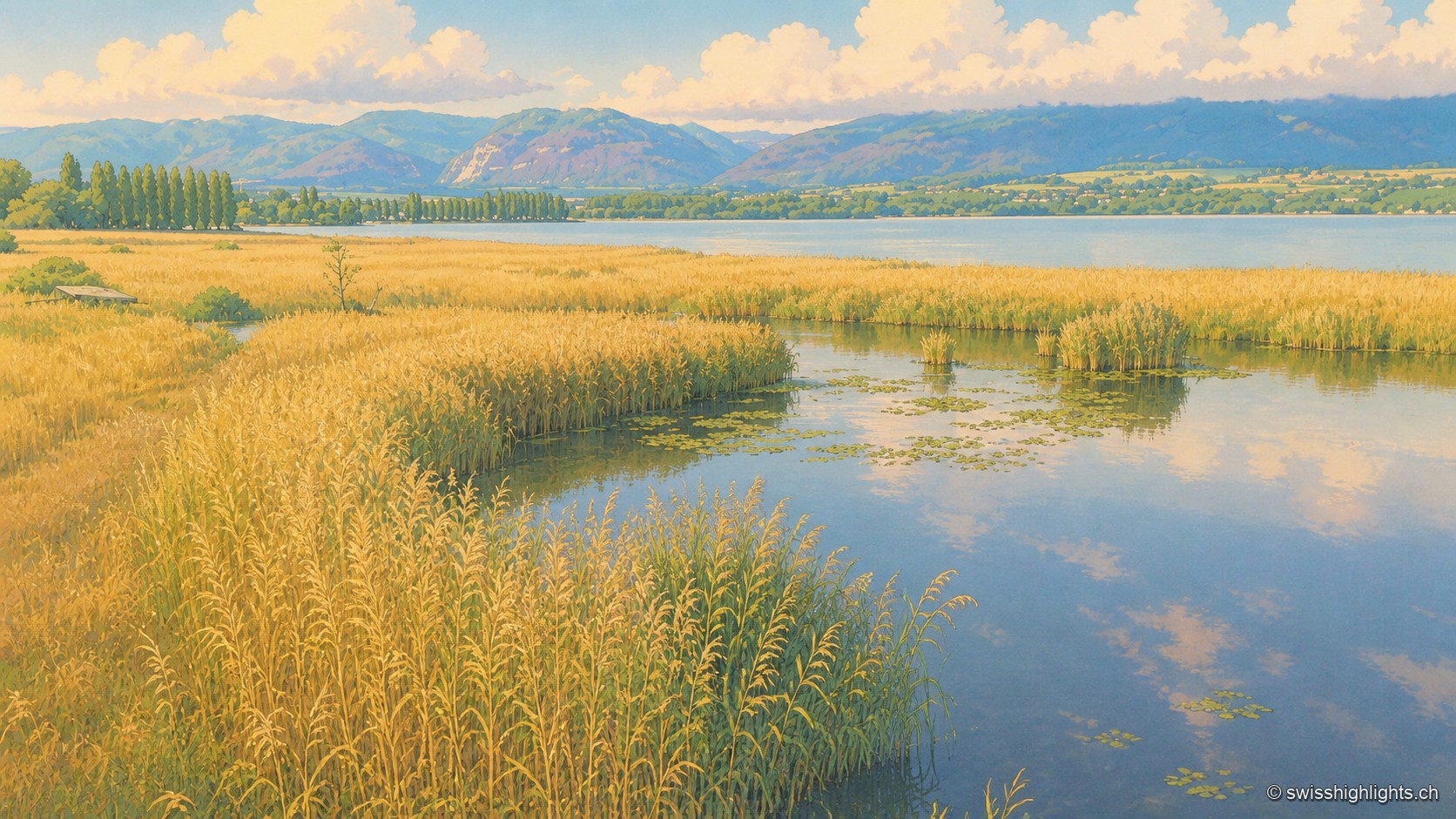
Lakeshore marsh · Lake Neuchâtel · 14 km as the crow flies
Grande Cariçaie
Eight intercantonal nature reserves cover about 3,000 hectares of reedbed, marsh and flooded forest. The landscape only exists because the Jura water correction lowered the lake by 2.7 metres between 1868 and 1891.