Lakeshore marsh · Lake Neuchâtel
Grande Cariçaie
Along some forty kilometres of the south shore of Lake Neuchâtel, the largest wetland complex in Switzerland — born of a 19th-century lowering of the lake.
The Grande Cariçaie follows the south and then the east shore of Lake Neuchâtel for some forty kilometres, over an area of about 30 km². The vegetation is ordered in bands parallel to the water: submerged meadows on the shallows, a belt of reeds, sedge meadows, riverine woodland and finally gallery forest, broken by bays, ponds, streams and molasse cliffs down which the water falls. About 800 plant species have been recorded here and probably more than 10,000 animal species, close to a quarter of Swiss flora and fauna; it is the country's foremost breeding ground for waterfowl and waders. The intercantonal nature reserves cover about 3,000 hectares — the source counts them sometimes as eight, sometimes as nine.
The landscape is not immemorial: it is the by-product of an engineering scheme. The Jura water correction, carried out from 1868 to 1891 and resumed from 1962 to 1973, lowered the lake by 2.7 metres. The bed of the former shallows was left in the open air, and the marshes that the same works were draining elsewhere — the Grand Marais, the Orbe plain — found here a refuge with almost identical conditions. A few years after the works ended, the matching ecosystems had settled in. The shore was listed under the Ramsar convention on wetlands of international importance in 1976, then again in 1990.
The site came close to disappearing a second time. In the 1970s the route chosen for the N1 motorway ran along the south shore. In the early 1980s a campaign led by Pro Natura Helvetica, the Swiss League for the Protection of Nature and the WWF gathered 560,000 signatures and 4 million francs — mostly from German-speaking Switzerland, where television had carried the appeal further. The route was moved in 1981. Conservation management began in 1982: mowing, scrub clearance, pond digging and scientific monitoring, under an intercantonal mandate given to the Association de la Grande Cariçaie, based in Yverdon-les-Bains.
The shore also keeps a far longer memory. Human presence is attested here from 13,000 BC, and the bays have held pile-dwelling villages since 4000 BC: between Yverdon and Cudrefin there are thirteen Neolithic or Bronze Age stations, six of them archaeological sites inscribed on the UNESCO World Heritage List. The wet ground preserved the timber. The name itself is recent: it comes from the sedges — the genus Carex, and above all the stiff sedge that abounds here — and was proposed by Michel Antoniazza, a scientific collaborator of the Association.
Why this place is remarkable
Switzerland's largest marsh is an industrial accident turned refuge: by lowering the lake 2.7 metres in order to drain marshes, the Jura water correction manufactured another one, where the species driven out elsewhere came to settle. The shore now concentrates close to a quarter of the country's flora and fauna, and thirteen prehistoric lake stations sleep in the same mud.
History and origin
The relief is young and entirely tied to the water level: prehistoric variations of the lake are estimated at 7 metres, and the artificial drop of 2.7 metres between 1868 and 1891 left a wide fringe of shallows dry. Behind the marshes, molasse cliffs mark the natural limit of the landscape and separate it from the farmed hinterland. Protection was built in three stages: listing under the Ramsar convention in 1976 and 1990, the shifting of the motorway route in 1981, conservation management from 1982.
What to do and see
- Follow the south then east shore of Lake Neuchâtel along part of the forty kilometres of the Grande Cariçaie.
- Observe the bands of vegetation parallel to the shore: aquatic beds, reed belt, sedge meadows, riparian forest.
- Spot the traces of the Jura water correction, which lowered the lake level by 2.7 metres and created this landscape.
- Stop near the bays sheltering former pile-dwelling villages, including six sites listed as UNESCO World Heritage.
Coming with family: what to know
- The environments crossed are marshes and flooded forests: the ground here is unstable and open water is often close by, even when hidden by vegetation.
As a couple
- Walk along Switzerland's largest wetland complex, born from a lowering of the lake in the 19th century.
- Observe the molasse cliffs over which the waters cascade, at the edge of the landscape.
- Linger near the bays where thirteen prehistoric lakeside settlements rest, some dating back to the Neolithic.
The whole area consists of nature reserves: breeding waterfowl are highly sensitive to disturbance, and movement off the paths and permitted beaches may be forbidden.
These are marshes and flooded woodlands: the ground is unstable and open water often close by, including where the vegetation hides it.
Waterbird nesting is sensitive to disturbance here; travel off the authorised paths and beaches may be prohibited within the nature reserves.
Location
Loads an interactive Google Maps view on demand, from the place's verified coordinates.
The embedded map will be enabled once an authorized Google Maps key is configured. Use the link above in the meantime.
The map could not load. Check your connection or use the link above to open the place in Google Maps.
Related places
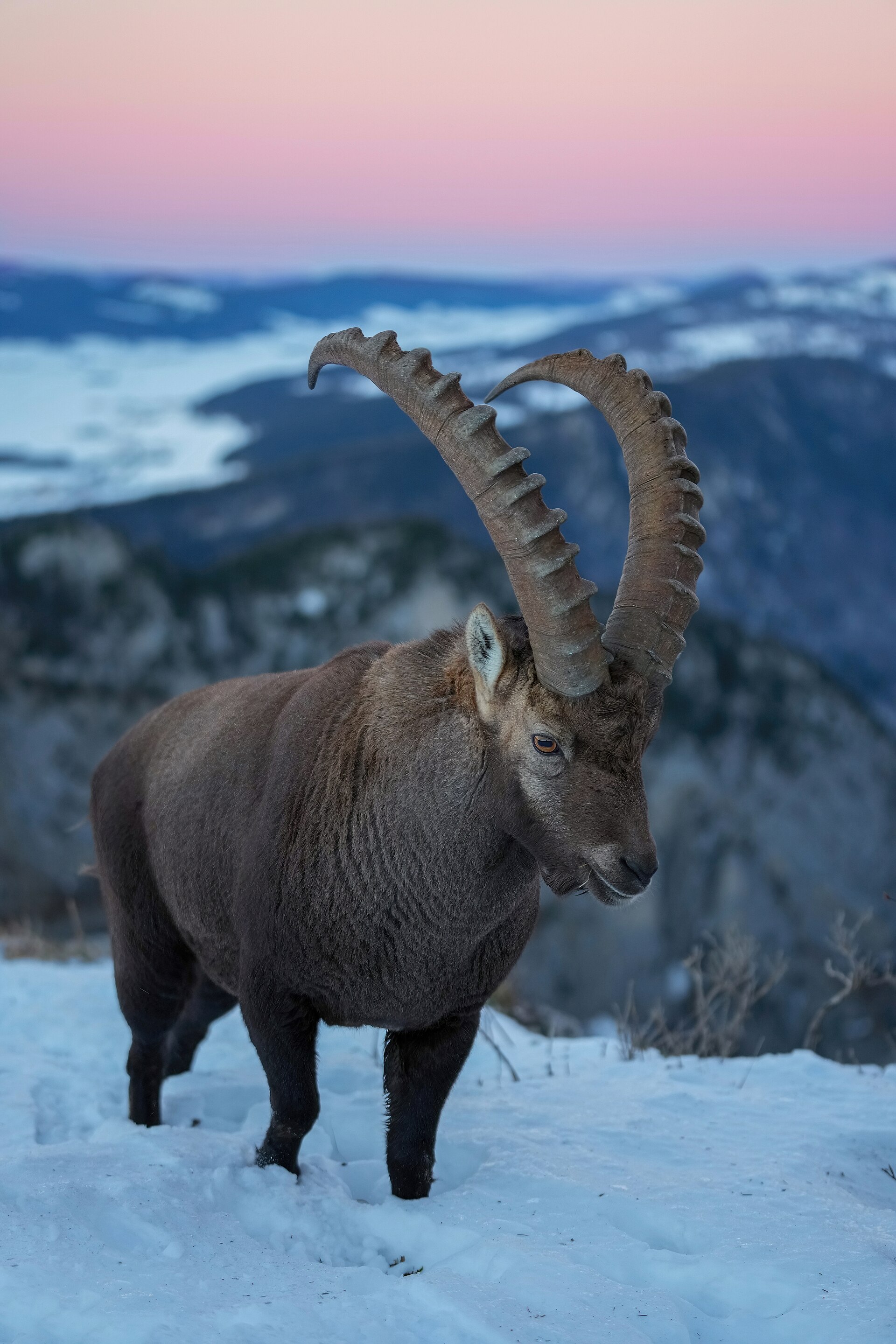
Rock cirque · Neuchâtel · 13 km as the crow flies
Creux du Van
A limestone wall closes an arc 1,000 to 1,400 metres across. Ibex, chamois and lynx live in the 15.5 km² reserve around the cirque, crowned by Le Soliat at 1,464 metres.
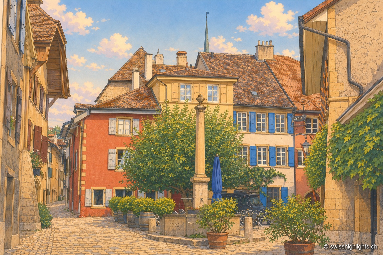
Wine village · Neuchâtel · 14 km as the crow flies
Auvernier
First recorded in 1011, Auvernier lived on fishing and on the vine. Its castle of 1559 keeps its vaulted cellars, the canton set up its school of viticulture here in 1888, and the law has protected the vineyard plots since 1974.
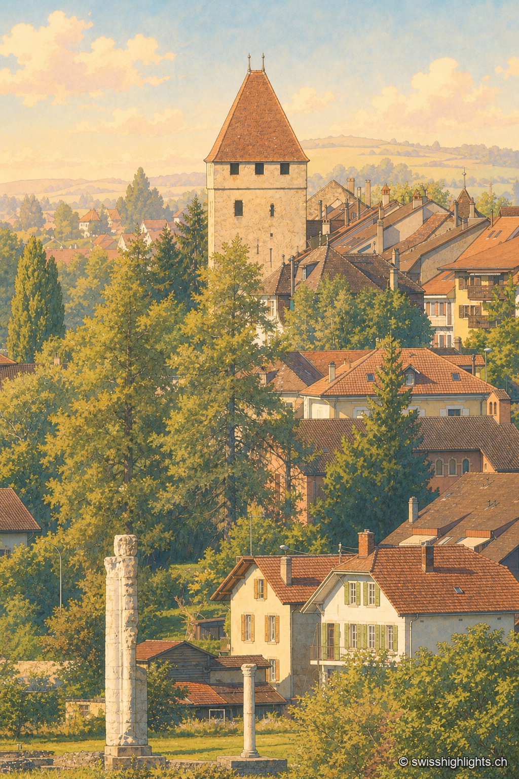
Roman capital · Vaud · 14 km as the crow flies
Avenches
Aventicum had more than 20,000 inhabitants under the High Empire before the Alamanni devastated it in 258. The town hall, rebuilt in 1753, stands over the square; the IENA, opened in 1999, made it Switzerland's horse town.