Rock cirque · Neuchâtel
Creux du Van
A cirque of limestone cliffs more than 160 metres high, cut into the Neuchâtel Jura above the Val-de-Travers.
The Creux du Van is a rock cirque cut into the Neuchâtel Jura: an unbroken wall traces an arc more than a kilometre across and stands more than 160 metres above the wooded floor it encloses. From the upper rim, the eye passes without transition from the grassy plateau to the forest far below. The high point, Le Soliat, reaches 1,464 metres, with a mean site altitude close to 1,440 metres. The surveys do not agree exactly: the wall is given as between 160 and 200 metres high, and between 1,000 and 1,400 metres wide.
The cirque lies at the heart of a 15.5 km² nature reserve. Ibex, chamois, lynx and marmots live here; the ibex did not return on their own, they were reintroduced by human hand in 1965. Protection of the site is old and incremental: a first parcel of land was bought in 1870, the Club jurassien added some 25 hectares in 1876, and the perimeter was enlarged again in 1972. The reserve today covers the cirque and the wooded slopes that extend it.
Administratively the site belongs to the commune of La Grande Béroche, in the canton of Neuchâtel, and access is usually from Noiraigue, at the foot of the Val-de-Travers. The summit plateau touches the cantonal boundary, to the point that reference datasets assign the place to both Neuchâtel and Vaud. The name itself has changed: until 1884 it was written “Creux du Vent”. The word van comes from Franco-Provençal, where it means rock — an etymology that points to the wall, not to the wind of the older spelling.
Why this place is remarkable
What holds the attention here is the geometry: a regular limestone wall, more than 160 metres high, closed on itself in an arc over a kilometre across, at the end of a plateau that gives no hint of the drop. The 15.5 km² reserve around it shelters mountain wildlife — ibex reintroduced in 1965, chamois, lynx — at a modest altitude of around 1,440 metres, well below that of the Alps.
History and origin
The wall exposes Kimmeridgian limestone laid down in the Late Jurassic, and the cirque is the work of water and ice eroding together over millions of years. Its recent history is one of protection built in stages: a first purchase of land in 1870, some 25 hectares added by the Club jurassien in 1876, an extension of the perimeter in 1972. The reserve now reaches 15.5 km², and the reintroduction of ibex in 1965 belongs to the same continuity.
What to do and see
- Stand on the upper rim of the cirque, where the eye moves without transition from the grassy plateau to the forest, more than 160 metres below.
- Observe the continuous arc of the limestone wall, whose diameter exceeds a kilometre.
- Look, in the 15.5 km² nature reserve, for the ibex reintroduced in 1965, as well as chamois and marmots.
- Reach Le Soliat, the site's high point at 1,464 metres, climbing up from Noiraigue.
Coming with family: what to know
- The rim of the cirque overlooks a drop of more than 160 metres without continuous protection: approaching the edge calls for constant vigilance, especially on frozen ground, snow or fog.
As a couple
- Admire together the limestone wall from the edge of the plateau, at the end of a walk that gives no hint of the drop to come.
- Set off together to spot the mountain wildlife of the reserve, at a modest altitude of around 1,440 metres.
- Set out from Noiraigue, deep in the Val-de-Travers, for the most direct access to the site.
The rim of the cirque stands more than 160 metres above the void, with no continuous barrier: approaching the edge calls for constant care, especially on frozen ground, on snow or in fog.
The site is a nature reserve: wildlife is protected and access conditions may be regulated.
The site is a nature reserve where wildlife is protected and access conditions may be regulated.
Location
Loads an interactive Google Maps view on demand, from the place's verified coordinates.
The embedded map will be enabled once an authorized Google Maps key is configured. Use the link above in the meantime.
The map could not load. Check your connection or use the link above to open the place in Google Maps.
Related places
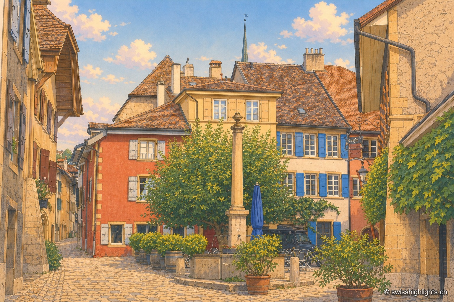
Wine village · Neuchâtel · 12 km as the crow flies
Auvernier
First recorded in 1011, Auvernier lived on fishing and on the vine. Its castle of 1559 keeps its vaulted cellars, the canton set up its school of viticulture here in 1888, and the law has protected the vineyard plots since 1974.
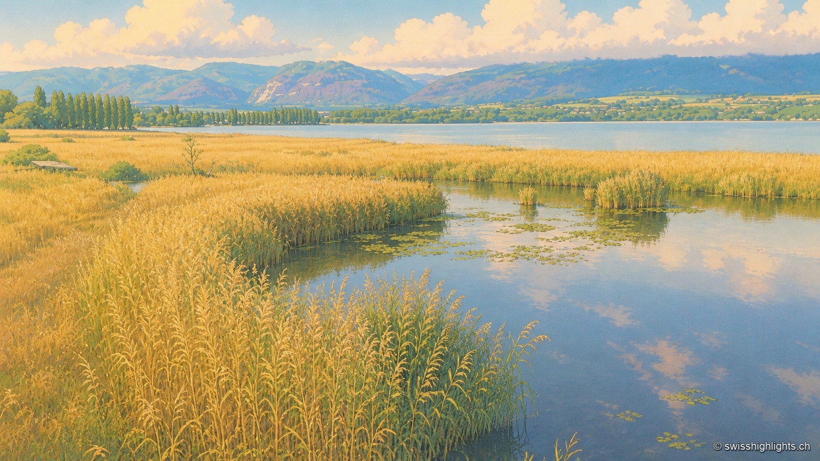
Lakeshore marsh · Lake Neuchâtel · 13 km as the crow flies
Grande Cariçaie
Eight intercantonal nature reserves cover about 3,000 hectares of reedbed, marsh and flooded forest. The landscape only exists because the Jura water correction lowered the lake by 2.7 metres between 1868 and 1891.
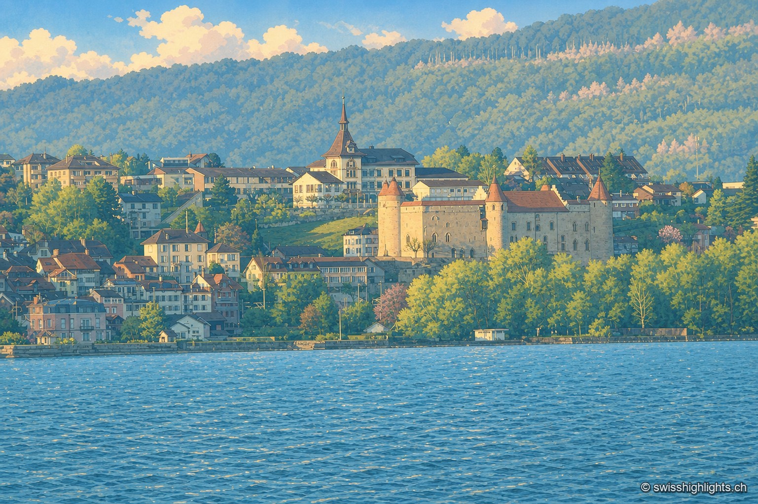
Historic town · Vaud · 16 km as the crow flies
Grandson
The castle of Grandson, at the centre of the town, overlooks the shores of Lake Neuchâtel where the Confederates defeated Charles the Bold on 2 March 1476; Grandson has belonged since 2016 to the Most Beautiful Villages of Switzerland.