Railway pass · Bernese Oberland
Kleine Scheidegg
A pass at 2,061 metres between the Eiger and the Lauberhorn, where the Wengernalp line meets the foot of the Jungfrau Railway.
Kleine Scheidegg is a pass at 2,061 metres, between the Eiger and the Lauberhorn, on the boundary of the municipalities of Lauterbrunnen and Grindelwald. Its name says exactly what it is: a minor watershed, as opposed to the nearby Grosse Scheidegg. It divides only the two arms of the Lütschine, which meet again a few kilometres below at Zweilütschinen, whereas the Grosse Scheidegg separates the Lütschine from the Rychenbach. The pass also marks the boundary between the Bernese Alps to the south and the Prealps to the north.
What the pass shows depends on its position, just north of the salient angle of the Bernese Alps. Coming up from Grindelwald, the Eiger hides what lies behind; at the pass the Mönch and the Jungfrau break upon the traveller all at once above the gorge of the Trümmletental. The row then lines up — the Eiger at 3,967 metres, the Mönch at 4,110, the Jungfrau at 4,158 — and three glaciers fill the hollows and ledges of those walls: the Eiger Glacier between the Eiger and the Mönch, the Guggi behind a buttress of the Mönch, the Giessen higher up on the north-west flank of the Jungfrau. The north face of the Eiger reads clearly enough from here to follow rope teams with binoculars, and since the 1930s expeditions onto it have set out from Kleine Scheidegg.
The pass is a railway junction. The Wengernalp line, begun in 1891 and opened in 1893 — steam traction, summer service only — climbs from Lauterbrunnen by way of Wengen and drops again to Grindelwald; the Jungfrau Railway starts here, begun in 1896, reaching Eigergletscher station in 1898 and the Jungfraujoch in 1912. No road reaches the pass. Above it, the Lauberhorn received a ski lift in 1941 and gives its name to a downhill race; since 1993 the Jungfrau Marathon, run from Interlaken, has finished here.
Why this place is remarkable
The pass sits at the exact point where the view turns over: hidden until then by the Eiger, the row of the Eiger, the Mönch and the Jungfrau opens in a single movement, with its three glaciers. It is at the same time a railway junction at 2,061 metres with no road at all — the line from Lauterbrunnen meets the one dropping to Grindelwald, and it is from this platform that the train to the Jungfraujoch departs.
History and origin
Before the railways, Kleine Scheidegg and Grosse Scheidegg served the valley's livestock and dairy farmers, who reached the export route to Italy over the Grimsel this way. Tourism came before the rails: travellers on the Grand Tour crossed the pass on foot from the late 18th century, and in 1840 Christian Seiler built an inn there, supplied by mule train, which grew into the Hotel Bellevue. From then on the crossing at Kleine Scheidegg became busier than the one at Grosse Scheidegg.
What to do and see
- Take the train up to the pass to see the Eiger, the Mönch and the Jungfrau suddenly appear, hidden from view at Grindelwald.
- Observe with binoculars the north face of the Eiger and the three glaciers visible from the pass: the Eigergletscher, the Guggi and the Giessen.
- Spot the railway junction between the Wengernalp line and the departure point of the Jungfrau railway.
Coming with family: what to know
- No road reaches the pass: access is only on foot or by the rack railways.
As a couple
- Watch together as the row of the Eiger, the Mönch and the Jungfrau reveals itself all at once at the pass.
- Follow with binoculars the roped parties engaged on the Eiger's north face.
- Stop on the platform from which the Jungfraujoch train departs, with no road to reach it.
No road reaches the pass: access is on foot or by the rack railways.
Location
Loads an interactive Google Maps view on demand, from the place's verified coordinates.
The embedded map will be enabled once an authorized Google Maps key is configured. Use the link above in the meantime.
The map could not load. Check your connection or use the link above to open the place in Google Maps.
Related places
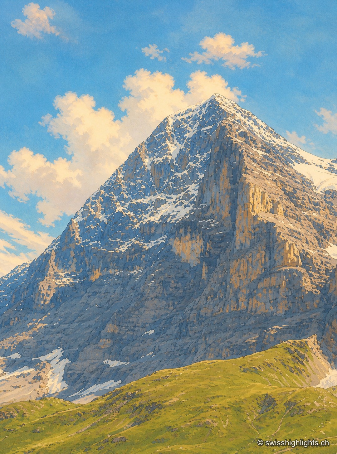
Summit · Bernese Alps · 3 km as the crow flies
Eiger
The Eiger carries its summit to 3,967 metres above Grindelwald. Its north face, about 1,650 metres high, was not climbed until July 1938; since 1912 a railway has run through the mountain itself.
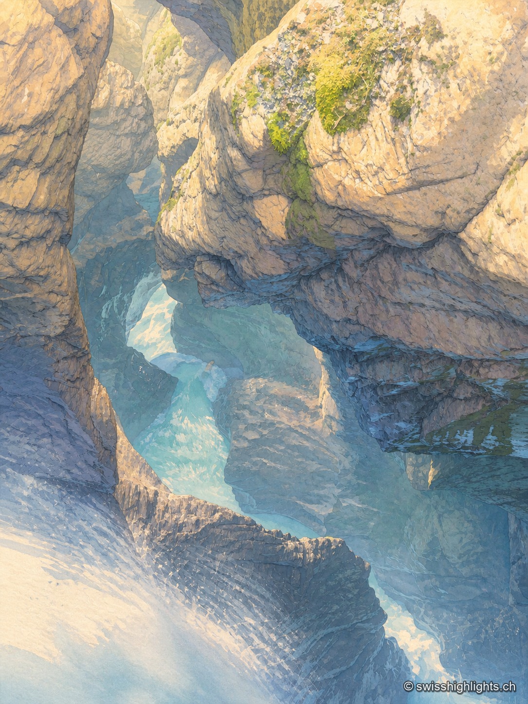
Underground falls · Bernese Oberland · 4 km as the crow flies
Trümmelbach Falls
The Trümmelbach alone drains the glacier faces of the Eiger, the Mönch and the Jungfrau: up to 20,000 litres a second in a gorge so narrow that daylight no longer reaches the upper falls.
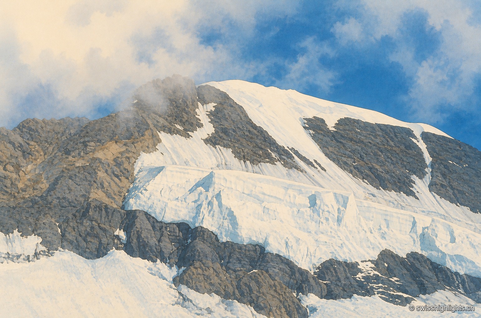
Bernese Alps summit · 4,110 m · 4 km as the crow flies
Mönch
Middle link of the Eiger–Mönch–Jungfrau chain, it reaches 4,110 metres. Its south face rests on the Jungfraufirn, a tongue of the Aletsch glacier; its name is thought to come from a horse pasture, not from a monk.