Watchmaking town · Neuchâtel
La Chaux-de-Fonds
Rebuilt on a grid after the fire of 1794, this town in the Neuchâtel Jura has been a World Heritage site since 2009 for its watchmaking town planning.
La Chaux-de-Fonds fills a broad valley of the Neuchâtel Jura, close to 1,000 metres up and without surface water: a site with nothing to suggest it would carry the canton's second commune, 37,600 inhabitants at the end of 2024. The plan can be read with the naked eye from the heights — long parallel streets laid along the valley flank best exposed to the sun, cut at right angles by cross streets. It is this drawing, and not a building, that earned the town its UNESCO World Heritage listing in June 2009, jointly with neighbouring Le Locle, under the name of watchmaking town planning.
The phrase means something precise: a town whose shape was dictated by a single trade. Watchmaking took hold here among farmers looking for extra income through the long winters, then became an industry in its own right with établissage, the division of labour between workshops credited to Daniel Jeanrichard. The buildings raised afterwards house dwelling and workshop in the same volume, with wide windows on the side of the light. The town gave Art Nouveau a local variant, the Style sapin, and it saw the birth of Le Corbusier, Blaise Cendrars, the car maker Louis Chevrolet and the sailor Laurent Bourgnon.
None of this would read as it does without the night of 4 to 5 May 1794, when fire took 52 houses, the church and its steeple, without a single death, and put 175 families on the street. The rebuilding followed the layout of the master engraver Moïse Perret-Gentil: perpendicular streets, a public square at the centre — today's place de l'Hôtel-de-Ville — then a grid extension carried on by the engineer Charles-Henri Junod. Karl Marx saw in this conjunction of town planning and single industry a “manufacture-town”.
Why this place is remarkable
The grid plan remains an oddity among Swiss towns, and it owes nothing to monumental intent: it was born of the 1794 fire and of the needs of one industry. Streets turned to catch the sun, buildings where the workshop shares the volume of the home — it is this layout, not a single edifice, that UNESCO listed in 2009 with Le Locle.
History and origin
Until 1656 the place came under the mayoralty of Valangin; that year it became a commune in its own right. The fire of 1794 erased the wooden village, and the town that replaced it grew with watchmaking until it demanded connections of its own: the canton's first railway line linked Le Locle to La Chaux-de-Fonds in 1857, then Neuchâtel in 1860 through the Loges tunnel, 3,259 metres long and at the time the longest railway tunnel in Switzerland. Recent history has its ruptures too: on 24 July 2023 a storm later classed as supercellular swept the town in minutes, with gusts measured at 217 km/h and many roofs torn away.
What to do and see
- Observe from the heights the grid layout of the city, rebuilt after the 1794 fire.
- Spot the buildings that house workshop and dwelling within the same volume, with wide windows facing the light.
- Look for traces of the Style sapin, the local variant of Art Nouveau.
- Locate the Place de l'Hôtel-de-Ville, centre of the layout drawn by Moïse Perret-Gentil after 1794.
Coming with family: what to know
- The city sits at nearly 1,000 metres of altitude; the source reports an average of 126.9 frost days a year.
As a couple
- Walk along the long parallel streets laid out to catch the sun on the valley's slope.
- Stop at the Place de l'Hôtel-de-Ville, the heart of the layout rebuilt after the 1794 fire.
- Go together in search of the Style Sapin facades, the local variant of Art Nouveau.
- As you walk the grid-pattern streets, discuss Karl Marx's phrase describing this 'factory-town.'
The climate is that of a high-altitude town: an average of 126.9 frost days a year, and the road link with Neuchâtel over the Vue des Alpes pass can be awkward in winter.
Location
Loads an interactive Google Maps view on demand, from the place's verified coordinates.
The embedded map will be enabled once an authorized Google Maps key is configured. Use the link above in the meantime.
The map could not load. Check your connection or use the link above to open the place in Google Maps.
Related places
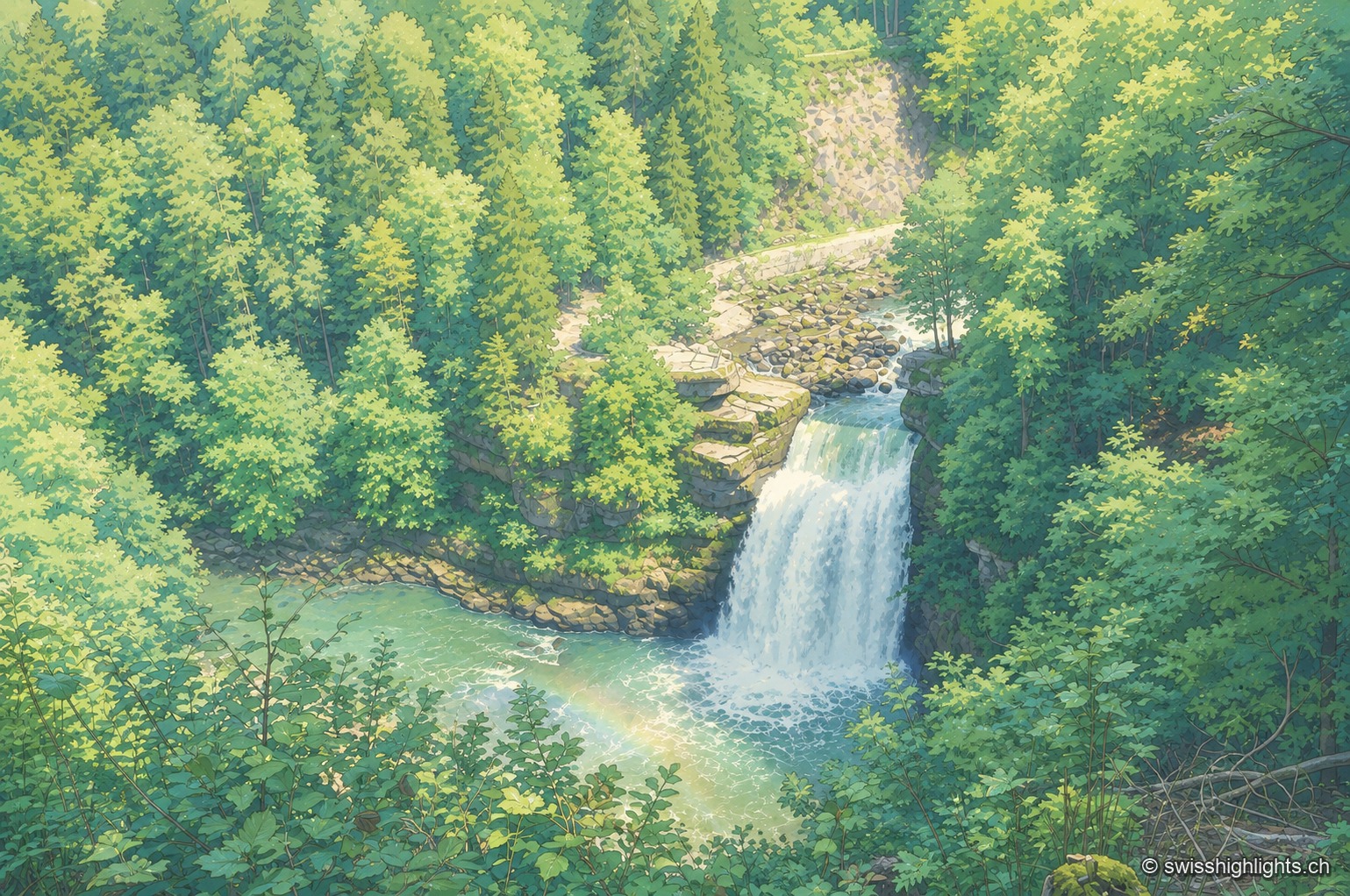
Cross-border waterfall · Neuchâtel Jura · 9 km as the crow flies
Saut du Doubs
The landslide that created the falls, some 12,000 years ago, also formed a 15-km natural reservoir, of which the 3.7-km Lac des Brenets is the remnant. The natural dam is not watertight: 3 m³ of water escapes through it every second.
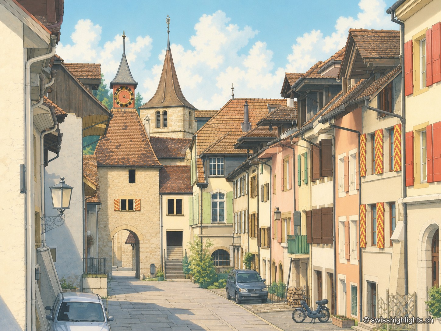
Village · Neuchâtel · 11 km as the crow flies
Valangin
The castle holds the rock that commands the passage; the bourg was founded below it around 1330, the collegiate church consecrated in 1505. In 1853 the beds described here gave their name to the Valanginian.
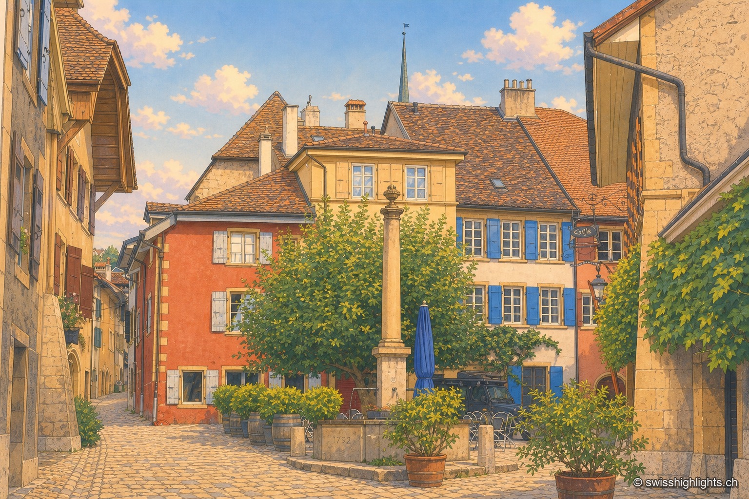
Wine village · Neuchâtel · 14 km as the crow flies
Auvernier
First recorded in 1011, Auvernier lived on fishing and on the vine. Its castle of 1559 keeps its vaulted cellars, the canton set up its school of viticulture here in 1888, and the law has protected the vineyard plots since 1974.