Cross-border waterfall · Neuchâtel Jura
Saut du Doubs
A 27-metre waterfall on the Doubs, on the Franco-Swiss border, born of a 12,000-year-old landslide that formed the Lac des Brenets.
The Saut du Doubs is a 27-metre waterfall on the river Doubs, on the border between France and Switzerland: the commune of Villers-le-Lac, on the French side, and that of Le Locle, on the Swiss side, share the site. It lies at the eastern end of the Lac des Brenets — called Lac de Chaillexon on the French side — which also straddles the border; downstream, the Doubs continues through gorges cut into the Jura massif.
The falls were formed about 12,000 years ago, when a landslide — perhaps triggered by an earthquake — swept away both sides of the valley, at the point where the gorges of the Doubs then began, west of Morteau. The resulting natural dam flooded the gorges upstream, forming a 15-kilometre reservoir; the 3.7-kilometre Lac des Brenets is today its only remnant. The Doubs, deflected by the landslide, drops over the cliff that corresponds to the former right bank of the gorge: that drop is the falls themselves.
The falls are held to be impassable, broken by a ledge about 5 metres below the upper edge. Only floods make that ledge disappear: on 25 October 2019, taking advantage of a flood flowing at 70 cubic metres a second, three kayakers from the Voray-sur-l'Ognon club ran the falls; the French kayaker Nouria Newman did the same on 4 February 2020.
Why this place is remarkable
The Saut du Doubs owes its shape to a single event: a landslide 12,000 years old, which created both the 27-metre falls and the natural reservoir of which the 3.7-kilometre Lac des Brenets is the remnant. The dam it formed has never stopped leaking — 3 cubic metres of water a second through the rock — and the falls themselves, long held impassable, have been run by kayak only twice, in flood: in 2019 and then in 2020.
History and origin
The natural dam holding back the Lac des Brenets is not watertight: it is made of a permeable mass of limestone fragments, through which 3 cubic metres of water escape every second, lowering the lake's level during low-water periods. Sealing works carried out in 2001 reduced part of these losses. On the French side, the site has been protected as a classified site since 1912; a second classification, in 2001, covers an enlarged zone of 438 hectares including the natural basins of the Doubs upstream, the falls, and the artificial basin created downstream by the Châtelot dam; it lies within the Doubs regional nature park.
What to do and see
- Observe the 27-metre waterfall and the ledge about 5 metres from the upper edge that makes it impassable except during floods.
- Follow the shore of Lac des Brenets, a remnant of the natural dam formed by a landslide around 12,000 years ago.
- Spot downstream the gorges carved into the Jura massif after the waterfall.
As a couple
- Follow the shore of Lac des Brenets, 3.7 kilometres long, to the point where the Doubs crosses the cliff.
- Picture the waterfall being crossed by kayak by three kayakers during a flood on 25 October 2019, then by Nouria Newman in 2020.
- Observe the natural limestone dam through which 3 cubic metres of water escape per second.
Location
Loads an interactive Google Maps view on demand, from the place's verified coordinates.
The embedded map will be enabled once an authorized Google Maps key is configured. Use the link above in the meantime.
The map could not load. Check your connection or use the link above to open the place in Google Maps.
Related places
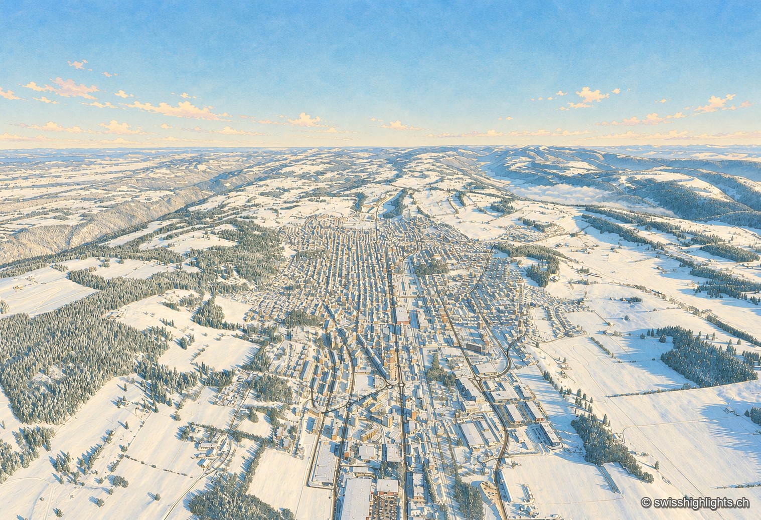
Watchmaking town · Neuchâtel · 9 km as the crow flies
La Chaux-de-Fonds
At close to 1,000 metres, in a valley with no surface water, the streets cross at right angles. The 2009 listing honours no monument but a plan: that of a town where workshop and dwelling shared the same building.
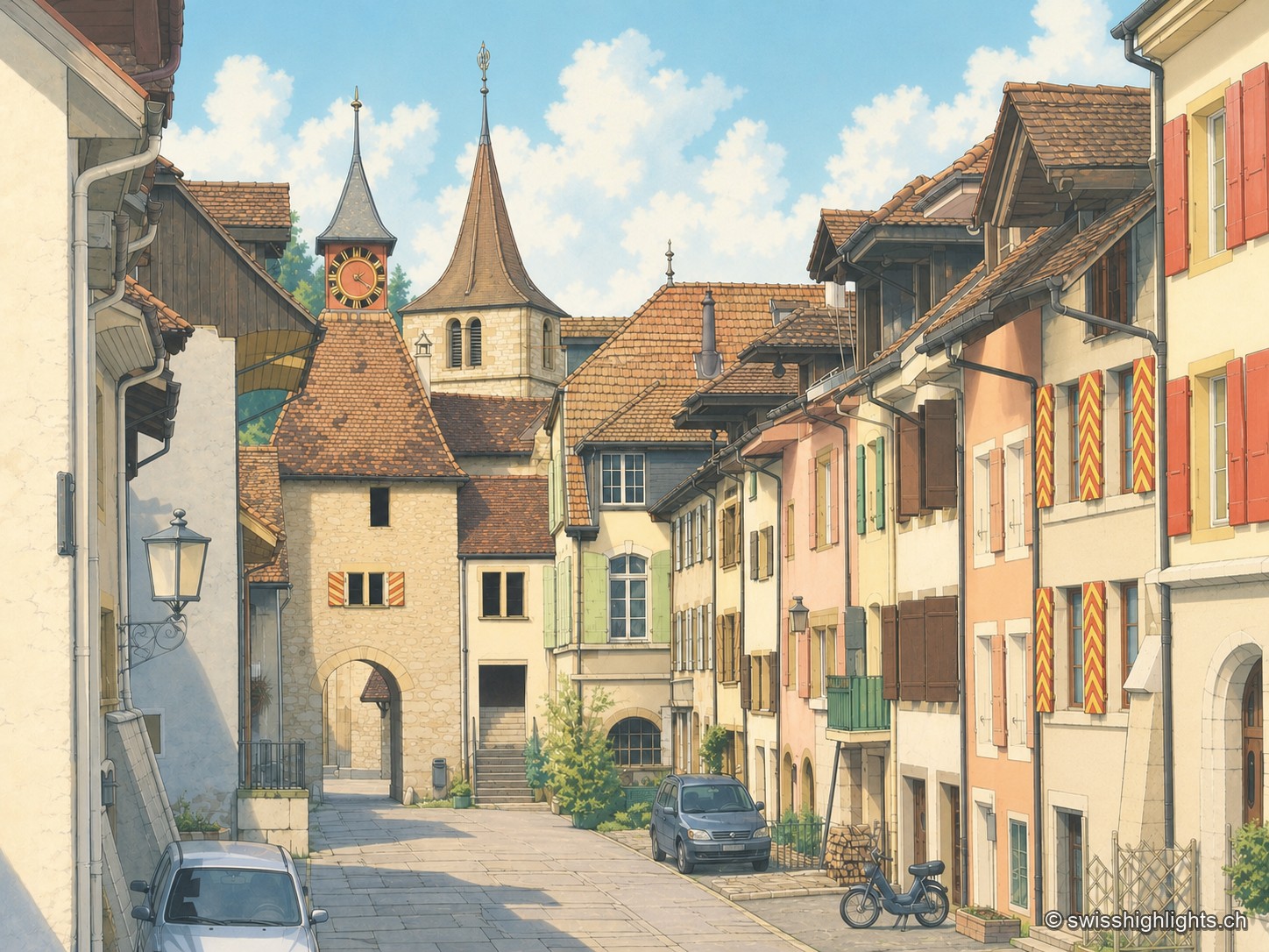
Village · Neuchâtel · 16 km as the crow flies
Valangin
The castle holds the rock that commands the passage; the bourg was founded below it around 1330, the collegiate church consecrated in 1505. In 1853 the beds described here gave their name to the Valanginian.
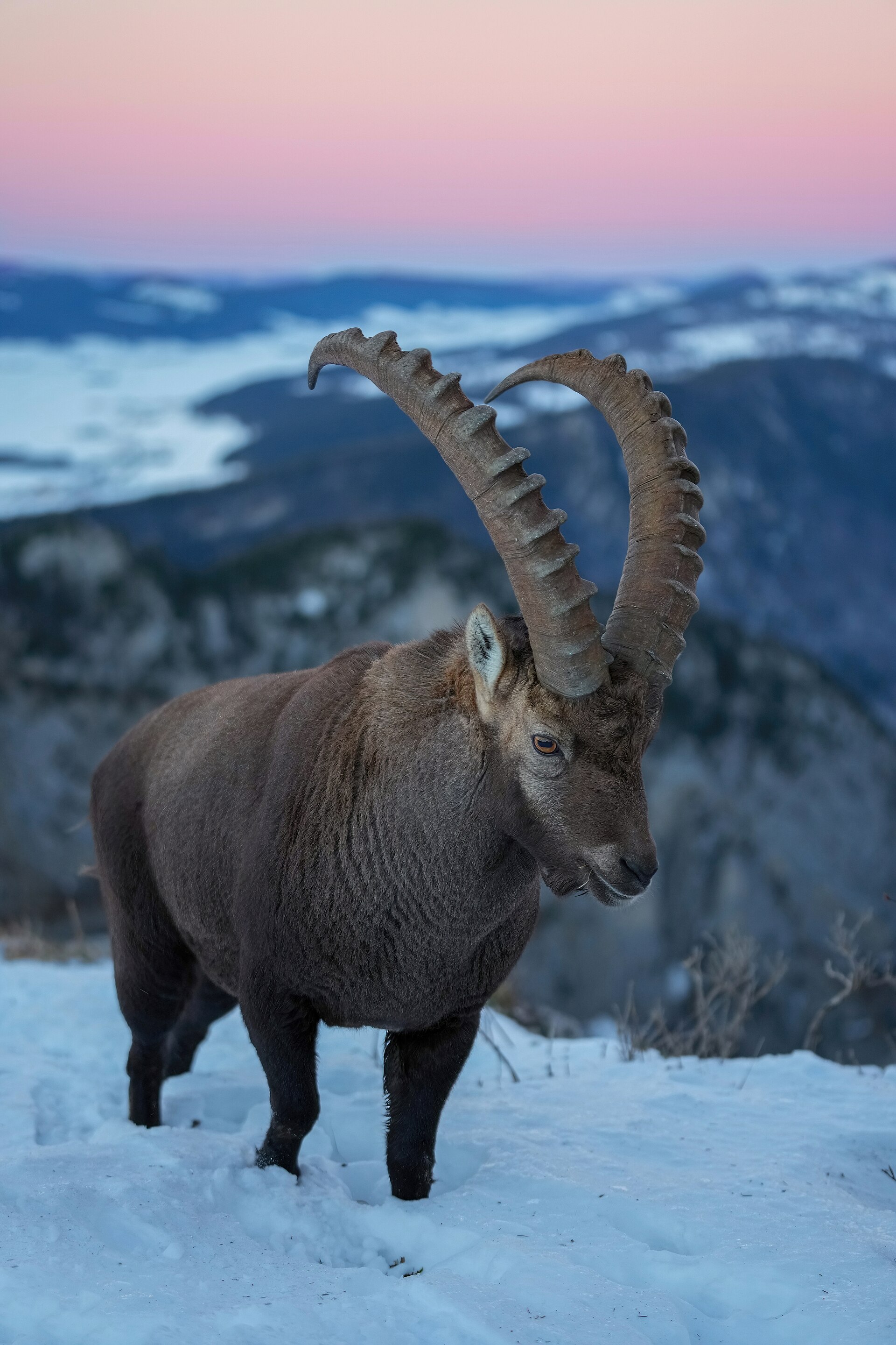
Rock cirque · Neuchâtel · 16 km as the crow flies
Creux du Van
A limestone wall closes an arc 1,000 to 1,400 metres across. Ibex, chamois and lynx live in the 15.5 km² reserve around the cirque, crowned by Le Soliat at 1,464 metres.