Town on the Rhine · Aargau
Rheinfelden
An Aargau town lined along the bank of the Rhine, whose name served twice as a battlefield and whose fountains are still sung to.
Rheinfelden holds the Swiss bank of the Rhine, at 274 metres, and gives its name to the Aargau district around it. From the far bank the town reads at a glance: a row of houses pressed close to the water, a squat tower under a pointed roof, the onion-domed bell tower rising above them, and the river filling the whole foreground. In the Middle Ages the town belonged to the House of Swabia.
The 2011 figures give 12,074 inhabitants, 29.1% of them foreign nationals. The confessional make-up is divided — 36.1% Catholic, 33% Reformed, 7.1% Muslim, then Orthodox and Christian Catholic minorities — and German is the main language of 82.9% of inhabitants, ahead of Italian at 3.8%.
The town's most tenacious custom was born of an epidemic. In 1541 plague struck Rheinfelden, and the water of the public fountains was suspected of carrying it. Twelve survivors then vowed, before those same fountains, to protect the inhabitants from the scourge, and founded a brotherhood placed under the invocation of Saint Sebastian, held to be a healer of plague. Each year, on 24 and then 31 December, twelve members of the brotherhood cross the town in procession and sing in a circle, before each fountain, an old Christmas hymn. This is the Brunnensingen, the singing of the fountains.
Why this place is remarkable
Rheinfelden holds together two memories that sit awkwardly side by side. That of armies: two battles bear the town's name, in 1638 and in 1678, and the French took and dismantled it in 1744. And that of a vow: since 1541 a brotherhood of twelve men has sung at the close of each year before the fountains, in memory of a plague thought to have come from their water. The first left destruction behind, the second is played out again.
History and origin
The town's name returns twice in the European wars of the 17th century. In 1638 French and Austrians fought here in two stages: in the first, Jean de Werth prevailed and the duke of Rohan was mortally wounded; in the second, the same Jean de Werth was beaten and taken prisoner. Forty years later, on 6 July 1678, at the end of the Dutch War, the imperial forces under Charles V of Lorraine were defeated by Marshal de Créquy. In 1744 the French took the town and dismantled it.
What to do and see
- Observe from the opposite bank the row of tightly packed houses along the Rhine, the stocky tower and the onion-domed steeple.
- Attend, on 24 or 31 December, the Brunnensingen: twelve members of a brotherhood sing in a circle in front of each of the town's fountains.
- Look for the traces of the two battles that bear the town's name, in 1638 and in 1678.
- Stroll along the Rhine, which occupies the whole foreground of the town on the river side.
As a couple
- Walk along the Rhine bank at sunset to enjoy the town's silhouette, tower and onion-domed steeple standing out against the river.
- Look for the public fountains in front of which the Brunnensingen is held each year, born of a vow made in 1541.
- As you stroll through the old town, tell each other about the two Battles of Rheinfelden and the French dismantling of the town in 1744.
Location
Loads an interactive Google Maps view on demand, from the place's verified coordinates.
The embedded map will be enabled once an authorized Google Maps key is configured. Use the link above in the meantime.
The map could not load. Check your connection or use the link above to open the place in Google Maps.
Related places
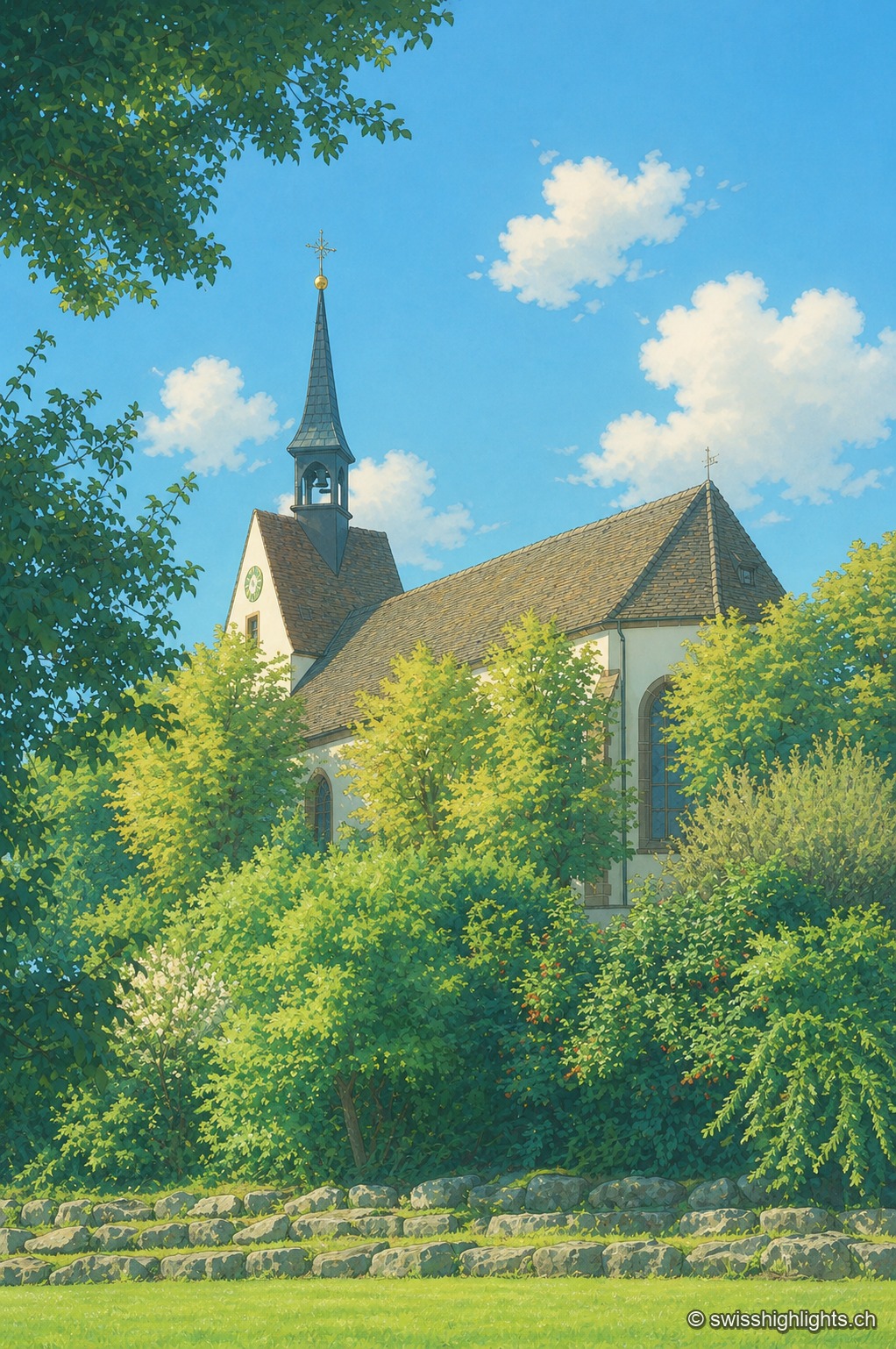
Religious site · Basel-Stadt · 9 km as the crow flies
Sankt Chrischona
On the Dinkelberg, at 522 metres, the highest church in canton Basel-Stadt stands over a walled cemetery and mission buildings founded in 1840; its tower platform, up 71 steps, opens a panorama over the Vosges, the Black Forest, the Jura and the Alps.
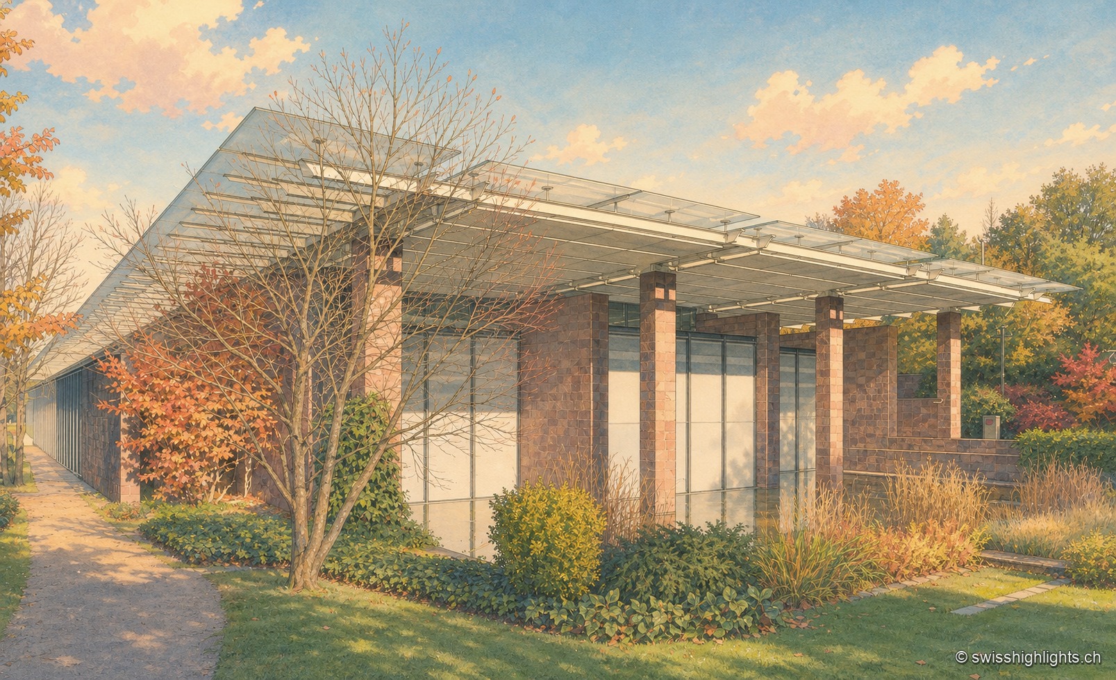
Border commune · Basel-Stadt · 11 km as the crow flies
Riehen
22,534 inhabitants on 10.86 km², a quarter woodland and a quarter farmland, a German border curling around it to the north: Riehen is as much a large village as a suburb of Basel.
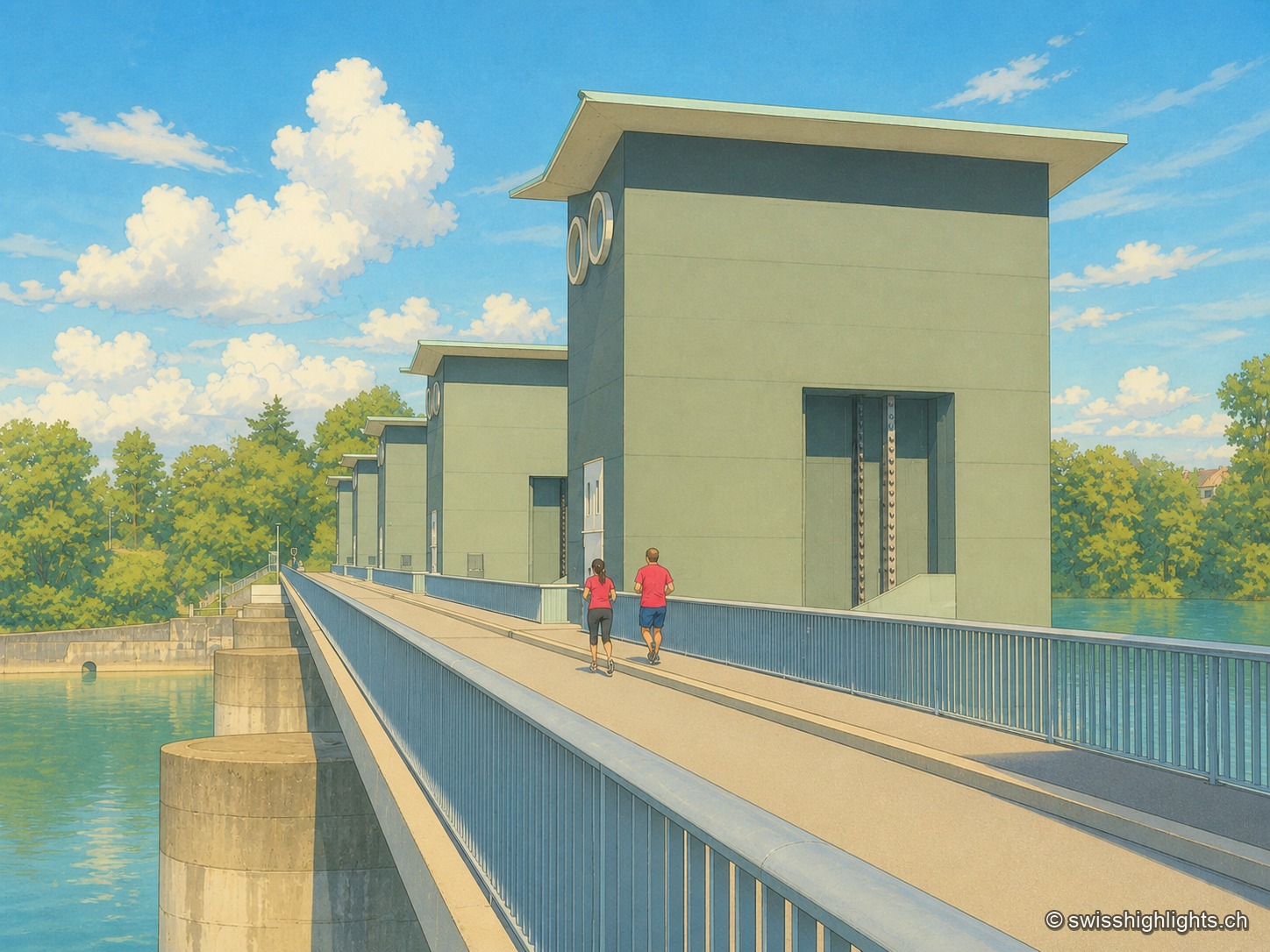
Run-of-river plant · Rhine · 13 km as the crow flies
Birsfelden power station
Four Kaplan turbines under a 12-metre head, two locks for the barges, and over the whole thing a path open to walkers and cyclists. Between 2006 and 2015 the plant produced an average of 570 GWh a year.