Fortified small town · Aargau
Aarburg
A Bernese fortress and a twin-towered church stand on the rock spur that pinches the Aare valley shut, upstream of Olten.
Aarburg sits at the narrowest point of the Aare valley, where a spur of rock runs down to the bank and closes the passage. The ridge is an outlier of the Säli, whose summit reaches 664 metres: the municipal territory drops to 393 metres at the river and rises to 620 metres below that peak. Along the crest run the walls and roofs of the fortress; below, the old town fits as a triangle between cliff and water, its houses ranged around a wedge-shaped square. Between the two, on an intermediate terrace, the reformed church built from 1842 to 1845 raises the two towers of its west front.
A document of 1123 names the place Areburc and records the castle of the counts of Frohburg, who administered a bailiwick on the north-south axis from it. The Frohburgs sold the whole to the Habsburgs in 1299; the settlement itself was called a town only in 1330, and excavation places its origin around 1312. Squeezed between Olten and Zofingen, each four kilometres away, it never grew much and lived mainly on tolls levied on traffic along the Gotthard road. On 20 April 1415, after a short siege, Bernese troops took it; from 1416 a bailiff resided at the castle, which Bern then extended to secure the link between its territory and Zurich. The French took town and fortress without a fight on 10 March 1798.
On 4 May 1840 a fire destroyed the church and most of the houses; sixty-eight families were left without a roof. The town was rebuilt, its northern fortifications were not. The fortress, handed to the canton of Aargau in 1804, served as arsenal and barracks until 1826, then as a prison until 1864; since 1893 it has housed a cantonal institution for young people, the first of its kind in Switzerland. Below, the Aare receives the Mühletych, an artificial side arm cut at the beginning of the 16th century, and forms a wide slow eddy known as the Woog: driftwood lingered there, rafts were gathered there, and a harbour is documented from 1361. Aarburg is listed in the federal inventory of built sites worthy of protection and has belonged since 2018 to the association Les plus beaux villages de Suisse.
Why this place is remarkable
Everything here follows from an accident of terrain: a rock spur that drops to the Aare and pinches the valley shut. Century after century piled up on it without erasing what came before — the Frohburg castle recorded in 1123, the fortress Bern extended after 1415 to hold the road to Zurich, the church of 1842-1845 on its terrace, the town at the water's edge. From the opposite bank the whole sequence reads in a single glance, which is rare for a stronghold of the Swiss Plateau.
History and origin
The castle appears in 1123 as property of the counts of Frohburg, passed to the Habsburgs in 1299 and fell to Bern on 20 April 1415. Building campaigns in 1470, 1534-1535, 1621 and then 1659-1673 made it a baroque complex, held by a permanent garrison from 1666, whose purpose was to protect the link between Bern and Zurich at the narrowest point of Bernese territory. The canton of Aargau received it in 1804: arsenal and barracks until 1826, prison until 1864, then an educational institution for minors decided in 1891 and opened in 1893.
What to do and see
- Observe from the opposite bank of the Aare the superposition of the fortress on the spur, the church with two towers on its terrace, and the old town at the water's edge.
- Spot the traces of the Bernese building campaigns (1470, 1534-1535, 1621, 1659-1673) that gave the fortress its current baroque appearance.
- Stop at the Woog, the wide eddy formed by the Mühletych dug in the early 16th century, where rafts of driftwood used to be gathered.
- Follow the old town, triangular between the cliff and the river, up to the corner square around which the houses are organized.
As a couple
- Choose the opposite bank of the Aare at the end of the day to see the fortress and church stand out against the rocky spur.
- Walk along the Woog, the slow eddy formed by the 16th-century artificial branch, for a quiet pause by the water.
- Walk through the old town, squeezed between the cliff and the river, up to the triangular central square.
The fortress has housed a cantonal institution for minors since 1893: it is not a freely open museum site, but an occupied place.
Location
Loads an interactive Google Maps view on demand, from the place's verified coordinates.
The embedded map will be enabled once an authorized Google Maps key is configured. Use the link above in the meantime.
The map could not load. Check your connection or use the link above to open the place in Google Maps.
Related places
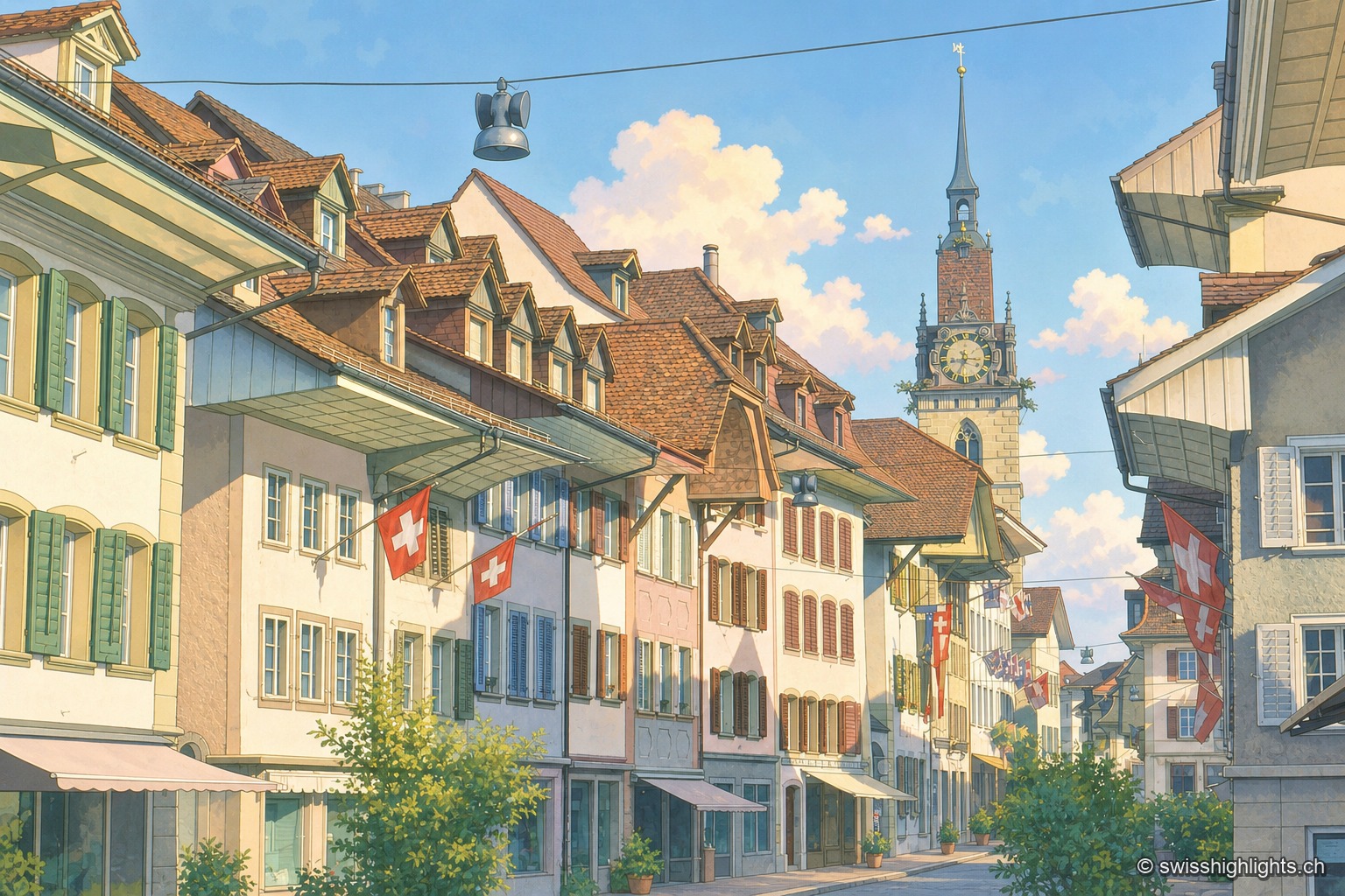
Medieval small town · Aargau · 5 km as the crow flies
Zofingen
Founded by the Froburgs at the end of the twelfth century, the town narrowly missed the great railway junction, which formed at Olten instead. Ten of its monuments are cultural property of national significance.
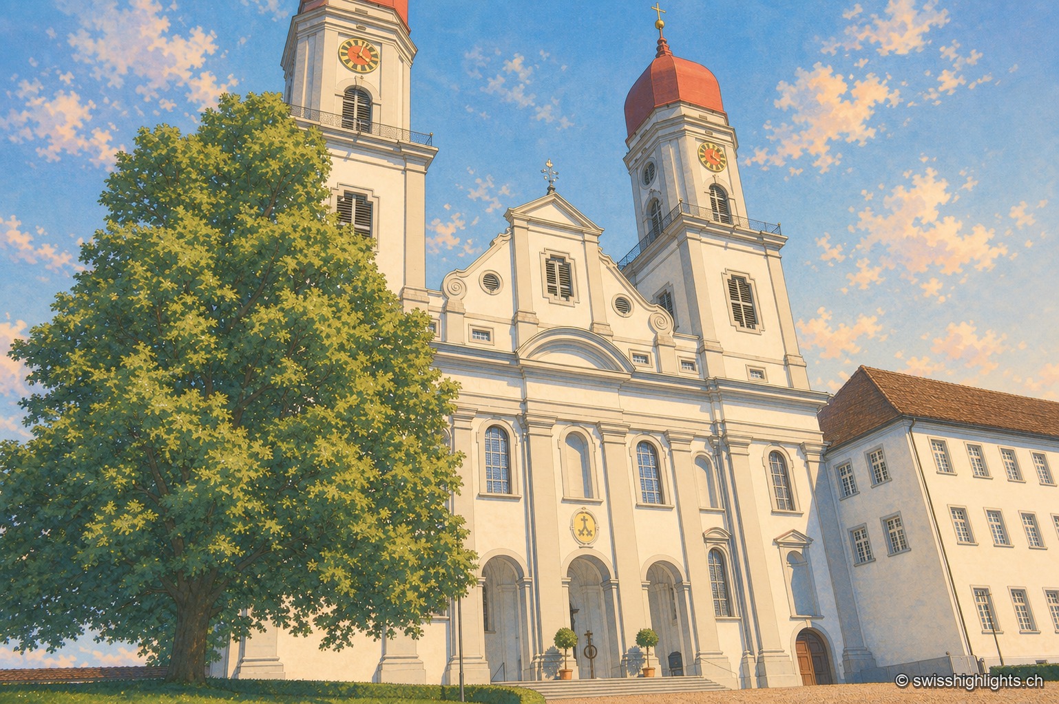
Former abbey · Lucerne · 11 km as the crow flies
Saint Urban's Abbey
Its choir stalls of 1700-1707 were sold as far as Scotland before being bought back in 1911 and reinstalled. Since 1873 the former monastery has housed a cantonal psychiatric institution.
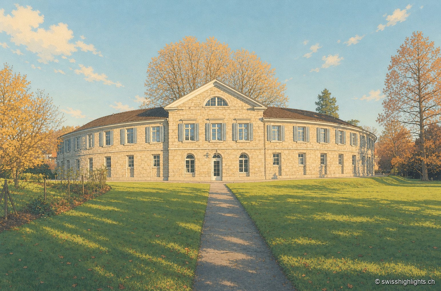
Thermal baths · Aargau · 25 km as the crow flies
Schinznach Baths
A sulphur spring buried by a flood in 1670 and found again in 1691 on the other bank: from it came a cure establishment, a park and a chapel — and, in 1761, the first meetings of the Helvetic Society.