Thermal baths · Aargau
Schinznach Baths
Sulphur baths on the right bank of the Aare, in Aargau, born of the rediscovery of a spring in 1691.
The Schinznach Baths stand on the right bank of the Aare, halfway between Lenzburg and Brugg, at 364 metres, at the foot of the wooded slopes that close the valley to the east. The water that feeds them is sulphurous. The place does not bear the name of the locality it stands in: the spring was first worked on the territory of Schinznach, on the other bank, and the establishment kept that name when it changed sides.
The buildings grew by additions around the same water source. Samuel Jenner, owner of the spring and master builder of Bern Minster, had a guest house raised in 1696; a parallel wing and the gallery joining them followed in the early eighteenth century. From 1824 to 1827 the architect Hans Conrad Stadler added a semicircular neoclassical rotunda. The cure chapel, built in 1881, was fitted out with donations from spa guests; its baroque interior contrasts with the plainness of the facades. The park was laid out by the landscape designer Evariste Mertens.
The village that grew around the baths was long called Birrenlauf. Many guests coming to Schinznach Bad had no idea they were in fact staying in another municipality; the railway station opening under the name of the baths completed the confusion, and the municipality finally renamed itself Schinznach-Bad in 1938. It merged into Brugg on 1 January 2020.
Why this place is remarkable
A thermal establishment is usually told through its waters; this one is told through its dates and a misunderstanding of place names. A spring buried under a flood and found again twenty-one years later on the other bank, a name that stayed attached to the municipality the water had left, buildings stacked century after century around the same point of emergence — and a cure hall where, in 1761, the Helvetic Society held its first meeting, aiming at a recasting of the power structures of the old Confederation. Few baths have also served as a political gathering place.
History and origin
The sulphur spring is recorded in 1654 on the territory of Schinznach, then buried by a flood in 1670. It was found again in 1691, this time on the right bank of the Aare, at the place called Birrenlauf: that is the present site. The cure buildings followed at once and the place became a meeting point; in 1761 the Helvetic Society held its first meetings there.
What to do and see
- Spot the semicircular neoclassical rotunda added by Hans Conrad Stadler between 1824 and 1827.
- See the 1881 cure chapel, whose Baroque interior contrasts with the sober exterior facades.
- Walk through the park designed by landscape architect Evariste Mertens.
- Find, while walking, the emergence point of the sulphurous spring rediscovered in 1691 after being buried by a flood in 1670.
As a couple
- Stroll through the park designed by Evariste Mertens, around the cure buildings accumulated since 1696.
- Stop at the 1881 cure chapel, funded by donations from those taking the cure.
- Recall that in 1761, the Helvetic Society held its first meeting here, around a project to overhaul the Confederation.
- Observe the neoclassical rotunda by Hans Conrad Stadler, added between 1824 and 1827.
Location
Loads an interactive Google Maps view on demand, from the place's verified coordinates.
The embedded map will be enabled once an authorized Google Maps key is configured. Use the link above in the meantime.
The map could not load. Check your connection or use the link above to open the place in Google Maps.
Related places
Historic Jewish commune · Aargau · 13 km as the crow flies
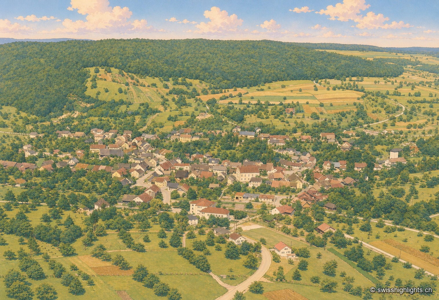
Endingen
With no Catholic or Reformed church, the village's only religious building is its synagogue, built in 1764 and rebuilt in 1852 after the 1802 pogrom. Ruth Dreifuss, President of the Confederation in 1999, was born here in 1940.
Small town · Aargau · 17 km as the crow flies
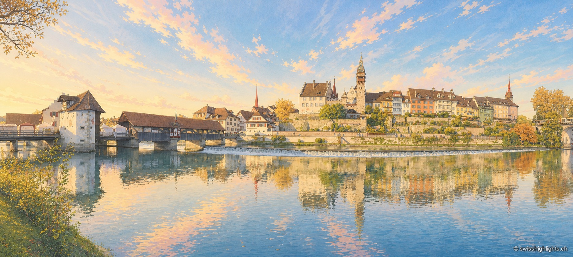
Bremgarten
The old town sits in a bend of the Reuss, still crossed by a covered wooden bridge. Four great markets set the year: those of Easter and Whitsun are over 750 years old, and the Christmas market, begun in 1995, lines up more than 300 stalls.
Former gasworks · Zurich · 23 km as the crow flies
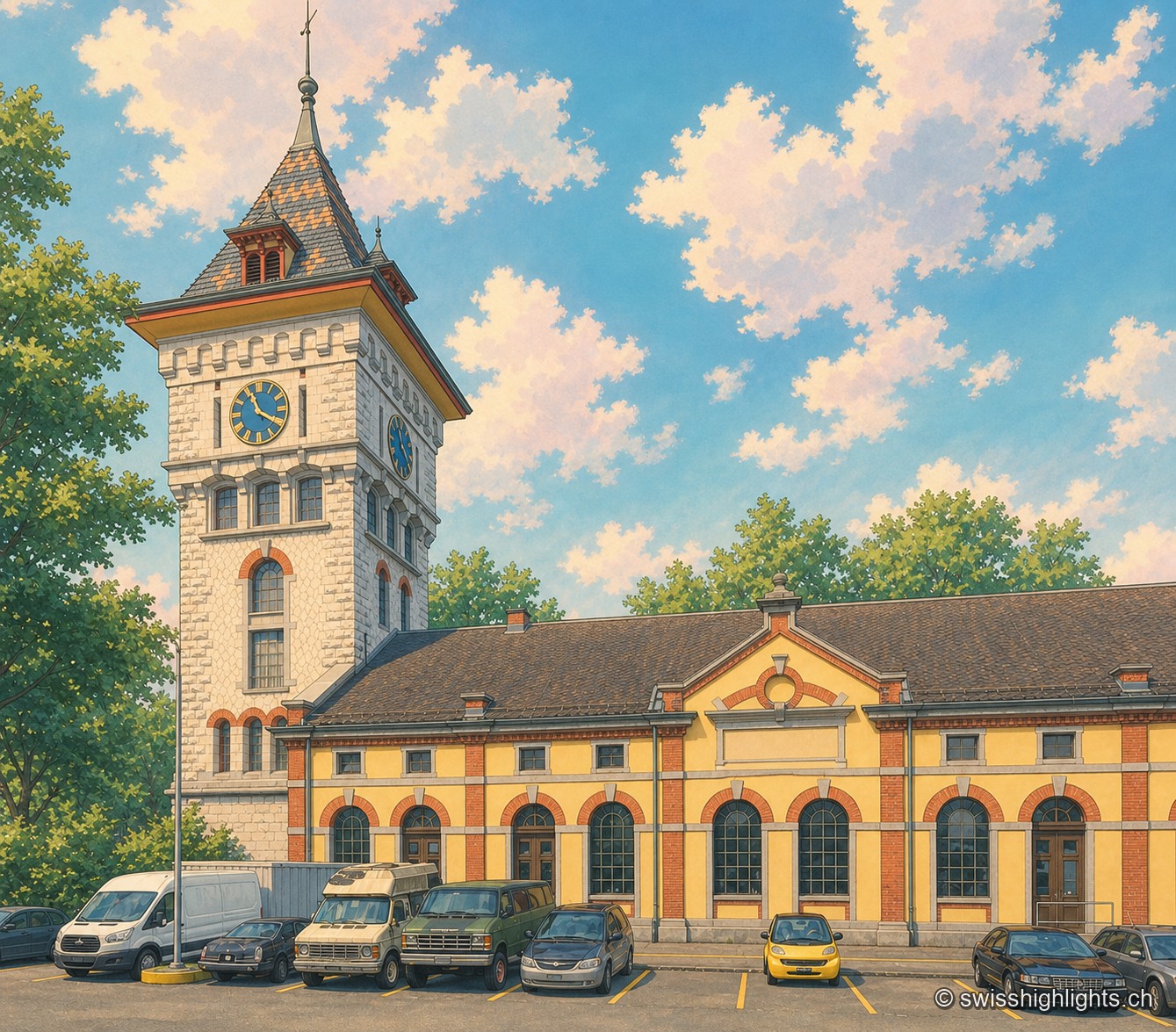
Schlieren Gasworks
Opened in 1898 and expanded through 1909, the Schlieren gasworks produced up to 250,000 m³ of gas a day before closing in 1974. Its gasometer now houses a museum and a working steam engine.