Medieval small town · Aargau
Zofingen
A medieval small town in northern Aargau, seat of its district, set at the end of the Wigger valley.
Zofingen occupies the end of the Wigger valley, in the canton of Aargau, of whose district it is the seat. The commune covers 11.09 square kilometres and counted 12,876 inhabitants on 31 December 2023, a density of 1,161 inhabitants per square kilometre. Between 2010 and 2019 its population grew by 9.8%, close to the Swiss figure (9.4%) and below the cantonal one (12.2%).
The town was founded by the Froburgs at the end of the twelfth century. In 1803 it was attached to the newly created canton of Aargau and became the seat of its district. The old core keeps the outline of the medieval small town; it is just west of it that the first industrial firms settled at the beginning of the nineteenth century — graphic arts, chemicals, textiles, paints and machinery.
A missed appointment fixed Zofingen's place. At the end of the nineteenth century, as the railways were built, the town hoped to become the node where the east-west and north-south axes would cross. The crossing was finally made at Olten, 9 kilometres away. Zofingen today stands at the junction of the A1 and A2 motorways, on the Basel – Lucerne – Chiasso railway line, 48 kilometres from Lucerne.
Its built heritage holds ten entries on the list of cultural property of national significance: the Roman site of Hirzeberg, the former arsenal, the former leper house, the town school, the town museum, the municipal library, the Klösterli, the Sennenhof house, the town hall and the Heiternplatz public garden. The Zofingue student society was founded in the town in 1819.
Why this place is remarkable
Zofingen takes its shape from a double inheritance: a medieval small town founded by the Froburgs at the end of the twelfth century, and a band of industry settled just west of that core from the beginning of the nineteenth. Ten of its monuments are listed as cultural property of national significance, from the Roman site of Hirzeberg to the Heiternplatz public garden — an uncommon density for a commune of 12,876 people.
History and origin
The administrative history of the town rests on two dates. In 1803 the creation of the canton of Aargau gave it its present attachment and the rank of district seat; in 1819 the Zofingue student society was born there. Between the two, industry settled west of the old town — graphic arts, chemicals, textiles, paints, machinery — before the railway, at the end of the nineteenth century, redistributed the roles in favour of Olten.
What to do and see
- Walk through the medieval core founded by the Frohburgs at the end of the 12th century.
- Spot, to the west of the old town, the industrial strip built up in the early 19th century.
- See several of the ten heritage sites of national importance, from the Roman site of Hirzeberg to the public garden of Heiternplatz.
- Place the town at the missed railway junction, ultimately tied at Olten instead.
Coming with family: what to know
- The medieval centre can be visited on foot, with several monuments of national importance grouped in a compact area.
As a couple
- Stroll through the medieval layout of the town founded by the Frohburgs.
- Look, from the Roman site of Hirzeberg to the Heiternplatz garden, for the ten listed monuments.
- Stop at the town hall, one of the landmarks of Zofingen's built heritage.
Location
Loads an interactive Google Maps view on demand, from the place's verified coordinates.
The embedded map will be enabled once an authorized Google Maps key is configured. Use the link above in the meantime.
The map could not load. Check your connection or use the link above to open the place in Google Maps.
Related places
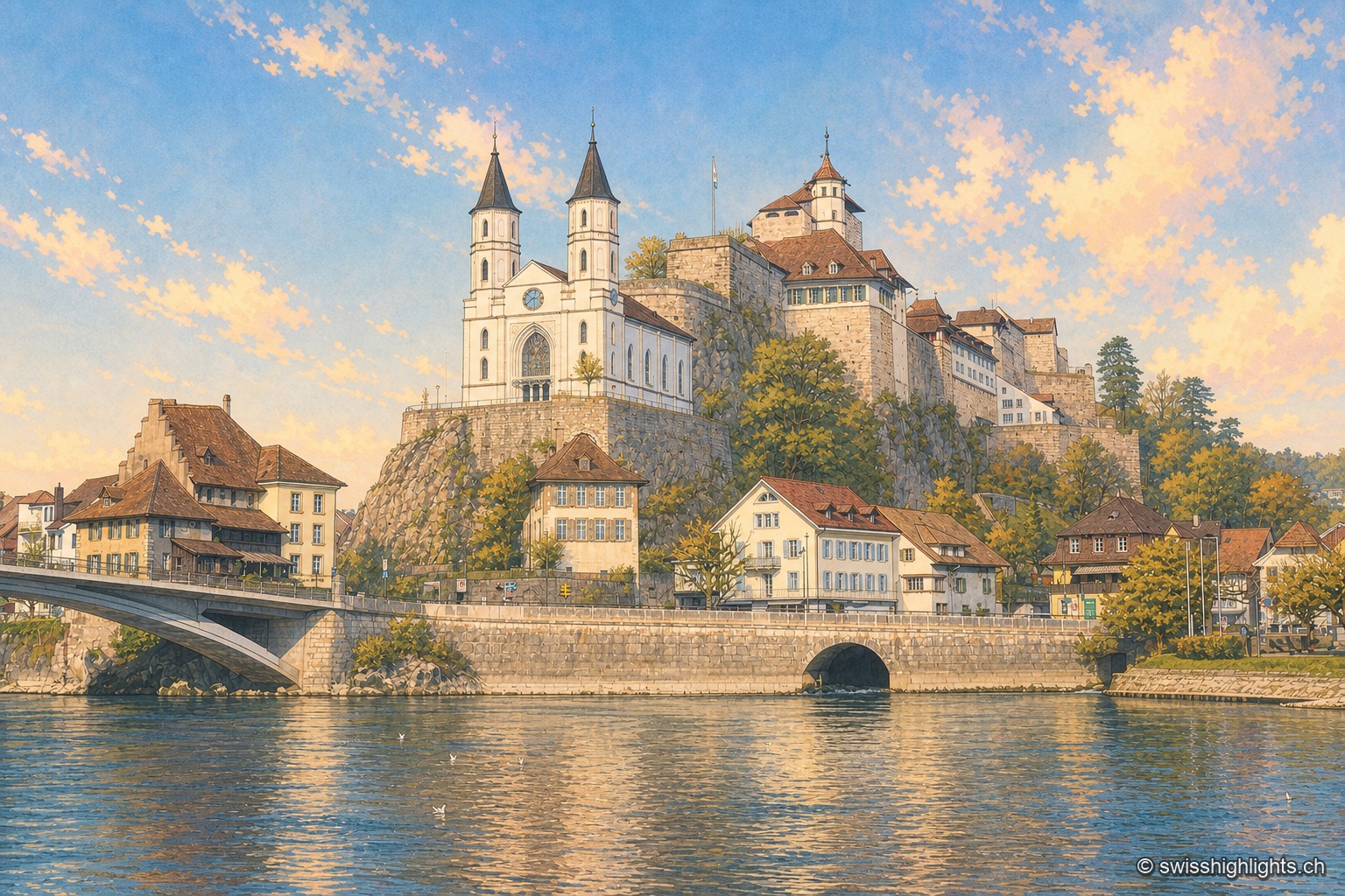
Fortified small town · Aargau · 5 km as the crow flies
Aarburg
Bern took the town on 20 April 1415 and turned the castle into a fortress. It still holds the spur commanding the valley, above an old town rebuilt after the fire of 4 May 1840.
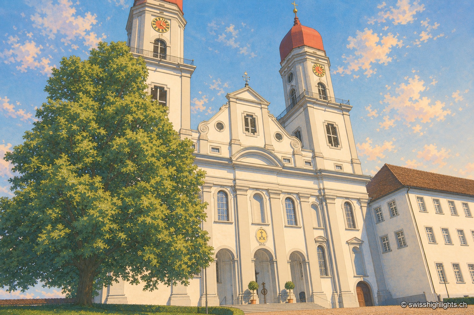
Former abbey · Lucerne · 10 km as the crow flies
Saint Urban's Abbey
Its choir stalls of 1700-1707 were sold as far as Scotland before being bought back in 1911 and reinstalled. Since 1873 the former monastery has housed a cantonal psychiatric institution.
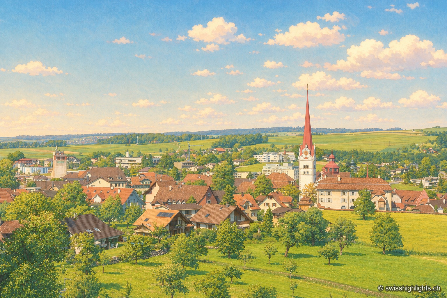
Collegiate town · Lucerne · 21 km as the crow flies
Beromünster
Two centres, the market Flecken and the canons' Stift, at 642 metres. Helias Helye finished the first dated book printed in Switzerland here on 10 November 1470; the transmitter that gave the place its present name fell silent in 2008.