Mountain village · Valais
Albinen
A village of dark timber on a south-facing terrace at the mouth of the Dala valley, above Leuk.
Albinen — Arbignon in French — occupies a south-facing terrace at the entrance to the Dala valley, where it opens at right angles to the Rhône valley. Houses and barns of brown timber, packed tightly together, form the core of the village; above and below lie scattered hamlets — Tschingere, Tscharmilonga, Dorben, Torrentalp — and a few more isolated outliers, Dorou and Rinderhütte, each with its chapel. The territory covers 15.48 km², of which only 3% carries housing and infrastructure: 44.3% is farmland, 41.2% woodland, 11.4% unproductive. The church of Saint Nicholas of Flüe stands out against this older fabric with its resolutely modern architecture; it replaced the church destroyed by an earthquake.
The place appears in 1224 in the form Albignun. Romance place names in the area point to occupation before the Alemanni, and the name may go back to a Latin personal name, Albinione; it was around the 11th century that German-speaking people came up from Leukerbad and settled the ground. The community is attested from 1291, gave itself statutes in 1552 and obtained its parish in 1737. Until 1930 people here lived from the land alone.
What changed Albinen most was a road. Before it, the link with Leukerbad ran along a path equipped with eight wooden ladders fixed to the cliff — the only way out, used by muleteers carrying goods and described by writers from the 18th century onwards. The road to Leuk was built only in 1956, the one to Leukerbad at the end of the 1970s. The ladders remained, and are still climbed. The village now lives from tourism: in 2000 only two full-time farmers were left. The population is falling — 259 inhabitants on 31 December 2024, a density of 17 per square kilometre, and a drop of 5.8% between 2010 and 2023 while the canton gained 17%. In 2017 the municipality had offered 25,000 francs to any new resident; the news travelled around the world.
Why this place is remarkable
Albinen shows, without staging it, what isolation meant in the Alps: until 1956 a cliff and eight wooden ladders separated the village from its nearest neighbour. The contrast still holds — the ladders above the void, the hairpin road, and a fabric of brown timber in a territory barely 3% of which is built. The population figures continue that history rather than contradict it.
History and origin
Recorded in 1224 as Albignun, the place carries Romance toponyms that attest occupation before the arrival of the Alemanni; the name may come from the Latin personal name Albinione. German-speaking people settled from Leukerbad around the 11th century. The community is attested in 1291, adopted communal statutes in 1552 and became a parish in 1737. The village stayed purely agricultural until 1930; the road to Leuk dates from 1956, the one to Leukerbad from the end of the 1970s.
What to do and see
- Observe the brown timber houses and barns crowded together, typical of the mountain village.
- Spot the scattered hamlets around the centre — Tschingere, Tscharmilonga, Dorben, Torrentalp — each with its own chapel.
- Follow the historic trail with its eight wooden ladders set into the rock face, which once linked Albinen to Loèche-les-Bains.
- Compare the modern Saint-Nicolas-de-Flüe church, built after an earthquake, with the older buildings surrounding it.
As a couple
- Walk up to the wooden ladders suspended above the void for a rare view of the village's past isolation.
- Enjoy the south-facing terrace at the entrance to the Dala valley for a pause at the end of the day.
- Wander between the outlying hamlets, Dorou or Rinderhütte, and their isolated chapels.
The eight wooden ladders on the path to Leukerbad are an exposed passage: sources old and recent alike stress the danger, and the route is not advised for anyone prone to vertigo.
The trail of eight wooden ladders towards Loèche-les-Bains is an exposed passage above a drop, not recommended for those prone to vertigo.
Location
Loads an interactive Google Maps view on demand, from the place's verified coordinates.
The embedded map will be enabled once an authorized Google Maps key is configured. Use the link above in the meantime.
The map could not load. Check your connection or use the link above to open the place in Google Maps.
Related places
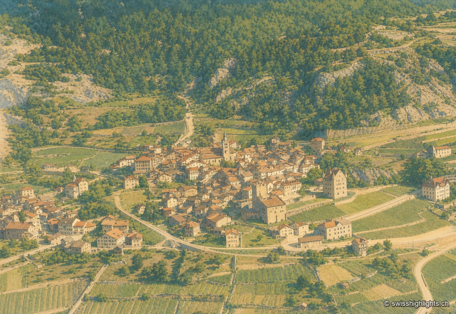
Medieval town · Upper Valais · 2 km as the crow flies
Leuk
Recorded in 515, Leuk keeps its bishop's castle, its Gothic church and its charnel house. Its 55.36 km² municipality holds both banks of the Rhône and takes in the Finges pine forest and the Illgraben fan.
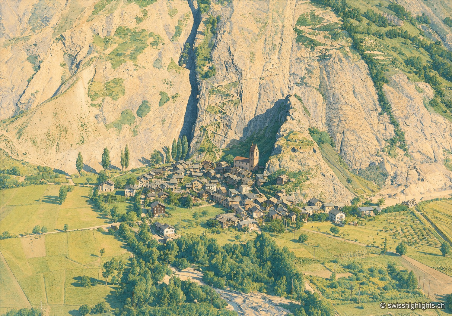
Valais village · Western Raron · 10 km as the crow flies
Niedergesteln
The name comes from the Latin castellum: a stone castrum once guarded the old road on the right bank. The Valais tithings destroyed the castle in 1384; the community bought back its rights in 1790.
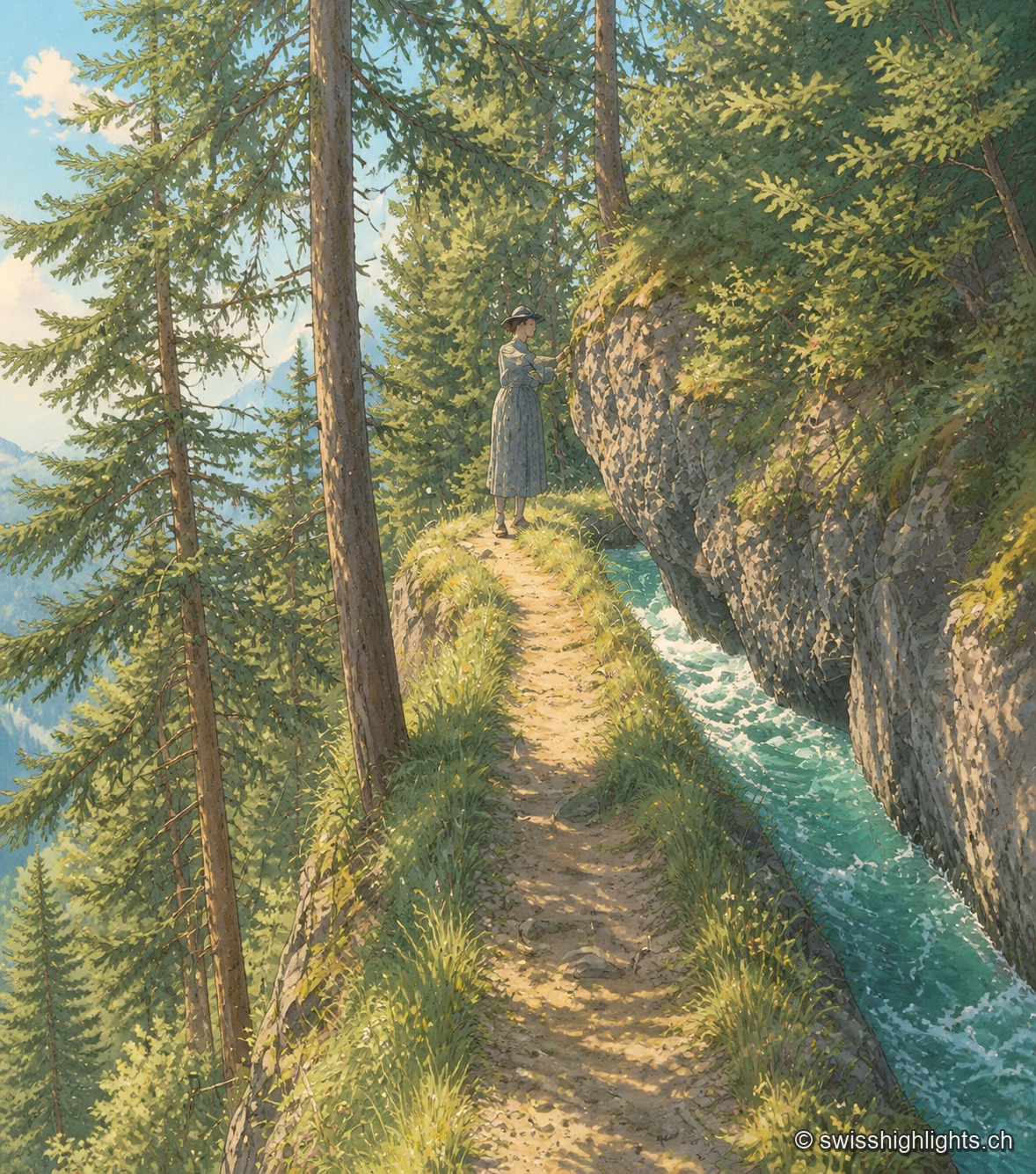
Historic bisse · Crans-Montana · 13 km as the crow flies
Bisse du Ro
Modified in 1925 to compensate for low stream flow, the Bisse du Ro was abandoned in 1947. Reopened as a trail and partly refilled with water in 2015, its route crosses cliffs secured, on the second half, only by a handrail.