Valais village · Western Raron
Niedergesteln
Set against a rock face in the upper Rhône valley, a village overlooked by the ruins of the castle held by the barons de la Tour from the thirteenth century.
The village stands against a rocky slope of the upper Rhône valley, at about 639 metres. The commune covers 17.43 km², but building takes up only 4.8% of it and farming 10.3%: the rest is woodland, 29.9%, and unproductive ground, 55.4% — the cliff, the scree, the high mountain. Above the roofs, on a rocky spur, stand the ruins of the castle of Châtillon, called Gestelnburg in German: a cultural property of national importance, it was excavated and partly restored between 1984 and 1993 with the Pro Castellione foundation. The commune counted 749 inhabitants on 31 December 2024.
The name says what the place has been. It is recorded as 'Chastellon' in 1179-1184 and 'Castellio Inferior' in 1420; Gesteln comes from the Latin diminutive castellum, the fortified camp, and the prefix Nieder- was only added in the fifteenth century to distinguish the commune from Obergesteln. A stone castrum guarded the old main road on the right bank of the Rhône, perhaps founded by Savoyard merchants. From the end of the twelfth century Niedergesteln was an episcopal fief and a castellany of the barons de la Tour-Châtillon, who raised the castle, with its round tower, in the second quarter of the thirteenth century.
In 1375 the five upper tithings of Valais occupied the Lötschental and drove out the lords de la Tour, who sold their goods and rights to the counts of Savoy. In 1384 the tithings destroyed the castle, by then ceded to the bishop of Sion, and in 1430 turned it into a castellany against the bishop's will; the subjects bought back its rights only in 1790. The communal statutes date from 1564, the town hall is recorded in 1606, and the parish church of Our Lady is documented from 1310.
The village gathered itself late. After the draining of the Rhône plain in the middle of the nineteenth century, the inhabitants of the hamlets clinging to the slope — Ladu, Brägji, Tatz — came down little by little to settle below; in the twentieth century the nearby factories, above all the Steg aluminium works opened in 1963, added jobs to those of farming. Since 2001 the communal land above the Lötschberg railway line has belonged to the Jungfrau-Aletsch-Bietschhorn property inscribed on the UNESCO World Heritage list. Niedergesteln has belonged to the association of the finest villages of Switzerland since 2022.
Why this place is remarkable
Niedergesteln can be read at a glance: a village pressed against a cliff, and above it, on its spur, the ruins of the castle that gave it its name. The barons de la Tour raised it in the thirteenth century, the Valais tithings destroyed it in 1384, and it took until 1790 for the inhabitants to buy back its rights. The name itself, from castellum to the Chastellon of 1179, has never said anything else.
History and origin
The parish is documented from 1310 under the dedication of Our Lady; it has borne that of Our Lady of Mount Carmel since about 1704. From about 1248 to 1607 it was a priory of the abbey of canons of Abondance, in Savoy, probably founded by Gérold de la Tour. Eischoll separated from it in 1766, Steg and Hohtenn in 1913; only in 1852 and then 1860 did Niedergesteln, Steg and Hohtenn definitively divide the forests and common goods. The arms, adapted from a nineteenth-century flag, carry a tower — the church belfry — and sabres recalling the battle of Ulrichen of 1211.
What to do and see
- Observe the ruins of Châtillon castle (Gestelnburg), cleared and partly rebuilt between 1984 and 1993, perched on their rocky spur above the village.
- Note, from the foot of the cliff, how the village drew in around its old enclosure rather than spreading over the commune's 55.4% unproductive land.
- Visit the parish church of Notre-Dame, attested from 1310, which succeeded the former priory attached to the Abbey of Abondance in Savoy.
- Place the village in relation to the now-deserted hamlets of Ladu, Brägji and Tatz, emptied in the 19th century toward the valley floor.
Coming with family: what to know
- The contrast between the built-up area (4.8% of the territory) and the 55.4% of unproductive land offers a simple way to explain the notion of alpine relief to children.
As a couple
- Take time to look up at the castle ruins from the village square, to gauge the gap between the modesty of today's village and the ambition of the 13th-century fortress.
- Trace in your mind the thread of local history, from the enclosure attributed to Savoyard merchants to the buyback of seigneurial rights by the inhabitants in 1790.
- Pause at the church of Notre-Dame, whose current dedication, Notre-Dame du Mont-Carmel, dates back to around 1704.
Location
Loads an interactive Google Maps view on demand, from the place's verified coordinates.
The embedded map will be enabled once an authorized Google Maps key is configured. Use the link above in the meantime.
The map could not load. Check your connection or use the link above to open the place in Google Maps.
Related places
Medieval town · Upper Valais · 10 km as the crow flies
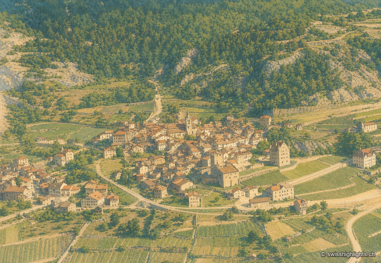
Leuk
Recorded in 515, Leuk keeps its bishop's castle, its Gothic church and its charnel house. Its 55.36 km² municipality holds both banks of the Rhône and takes in the Finges pine forest and the Illgraben fan.
Mountain village · Valais · 10 km as the crow flies
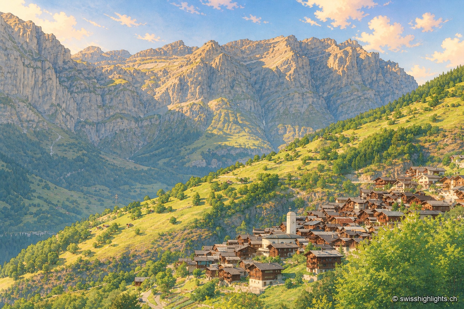
Albinen
Until the road of 1956, eight wooden ladders fixed to the cliff were the only way to Leukerbad. They are still there, and the village counts 259 inhabitants.
High-altitude lake · Bernese Oberland · 20 km as the crow flies
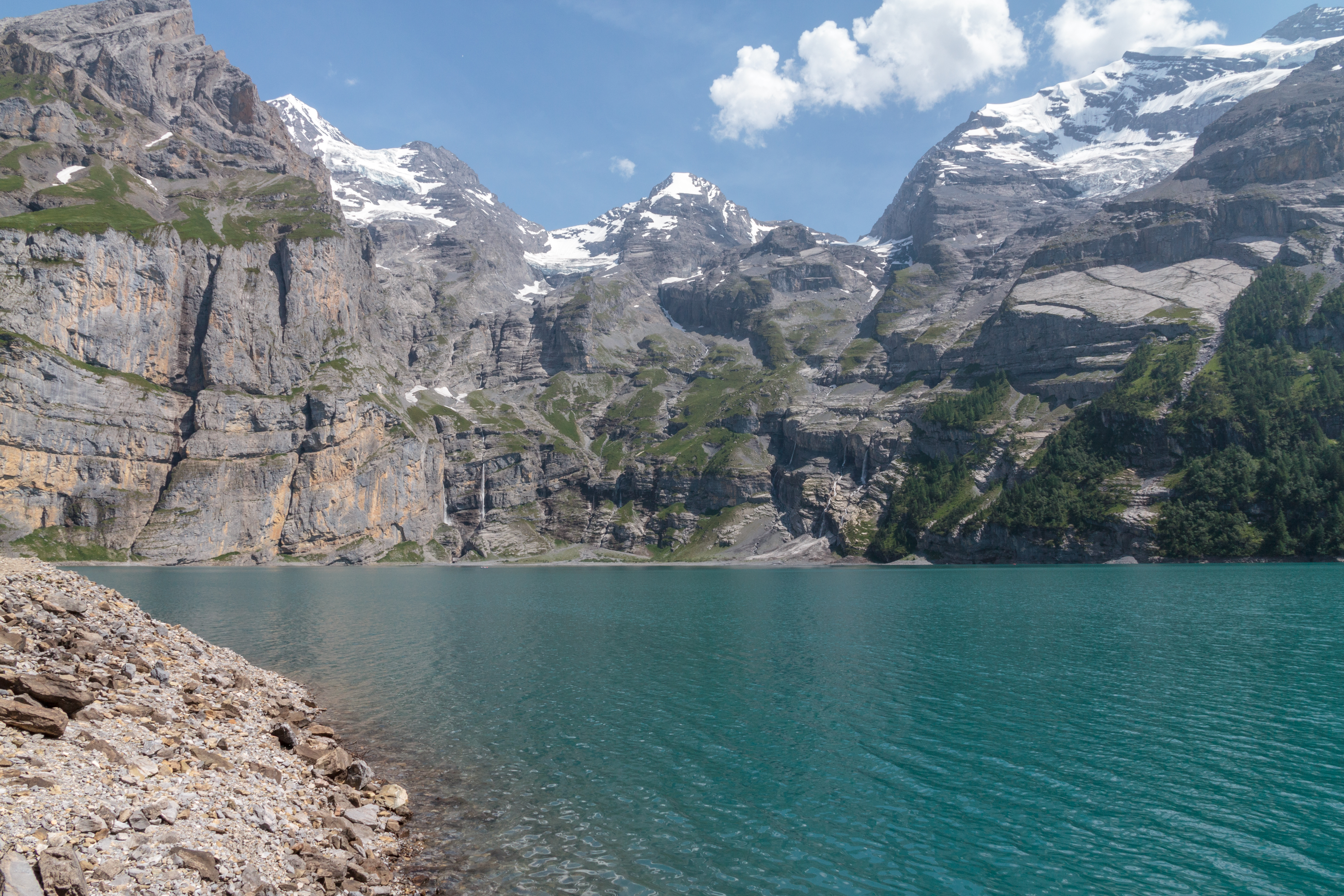
Oeschinensee
A lake of 1.1 square kilometres held at 1578 metres by rock masses fallen from the Fründenhorn and the Doldenhorn, with no surface outflow, at the western edge of the UNESCO property Swiss Alps Jungfrau-Aletsch.