Historic bisse · Crans-Montana
Bisse du Ro
Built in the 14th century, this Valais irrigation channel ran 5 km between 1750 and 1450 m above Crans-Montana; abandoned in 1947, it is now walked as a trail.
The Bisse du Ro lies above Crans-Montana, in the canton of Valais, between 1750 and 1450 metres above sea level. Built in the 14th century to carry irrigation water, it was modified in 1925 to compensate for the stream's low flow by drawing water from Lake Huton to the Ertense, then abandoned in 1947 when the whole network was piped. Five kilometres long, it is now walked in about 3 hours.
The new Bisse du Ro was renovated and partly refilled with water in 2015 along the first twenty minutes of walking from Crans-Montana; beyond that, the route remains as it was, with passages cut into the rock. The trail crosses vertiginous cliffs: every passage is fitted with some form of safety rail, but on the second half, this is limited to a single handrail.
Why this place is remarkable
A 14th-century irrigation channel, abandoned in 1947 once the water was piped underground, survives today as a path suspended along a cliff face: the trail follows exactly the line the builders once cut into the rock to bring water down, a handrail now standing where the channel itself once ran.
History and origin
The channel drew its water from Lake Huton, diverted to the Ertense since 1925 because of the original stream's low flow. Its route, between 1750 and 1450 metres above sea level, crosses cliffs where the 14th-century works had to cut passages into the rock to maintain the level line the water needed to flow.
What to do and see
- Walk the 5 kilometres of the bisse from Crans-Montana, about 3 hours of walking between 1750 and 1450 metres.
- Watch, over the first twenty minutes, the section renovated and put back into water in 2015, then the original course cut into the rock beyond.
- Spot the passages cut straight into the cliff face by 14th-century builders to keep the canal's level line.
As a couple
- Follow on foot the 14th-century irrigation canal, hung on the cliffside above Crans-Montana.
- Walk to the 1925 intake, when water from Lake Huton was diverted to the Ertense to make up for the original stream's low flow.
- Take time on a course abandoned in 1947, left as it was since the irrigation network was piped.
The trail crosses vertiginous cliffs. Every passage is fitted with some form of safety rail, but on the second half of the route this is limited to a handrail; the trail is not recommended for those prone to vertigo.
The route crosses vertiginous cliffs; all passages are secured, but over the second half the protection is limited to a handrail, which makes the route inadvisable for those prone to vertigo.
Location
Loads an interactive Google Maps view on demand, from the place's verified coordinates.
The embedded map will be enabled once an authorized Google Maps key is configured. Use the link above in the meantime.
The map could not load. Check your connection or use the link above to open the place in Google Maps.
Related places
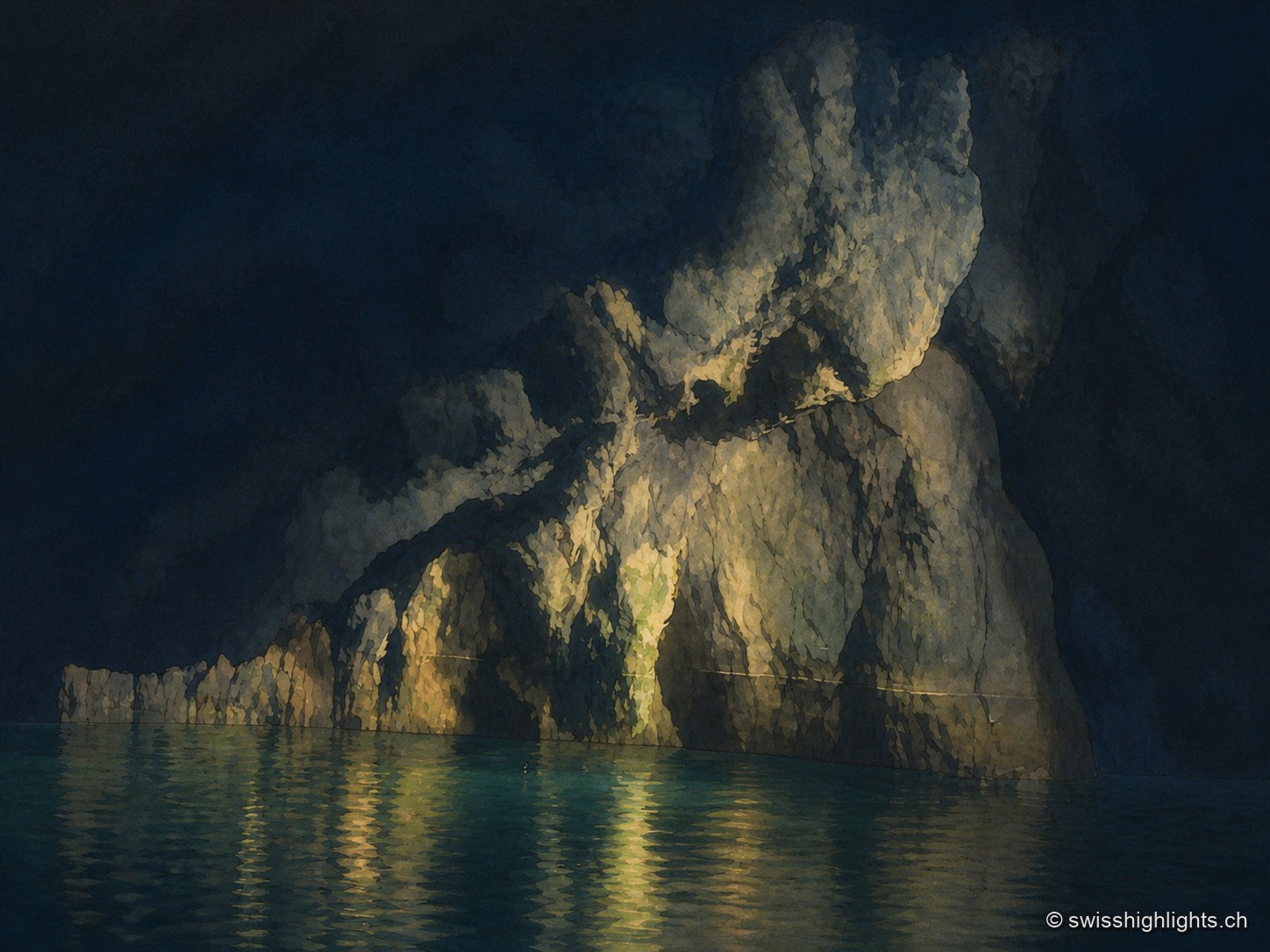
Underground lake · Valais · 8 km as the crow flies
Saint-Léonard Underground Lake
The lake fills only part of a cavity 1,400 metres long; a rockfall closes the rest. The 1946 earthquake lowered its level, and access, closed in 2000, reopened only in 2002 after consolidation.
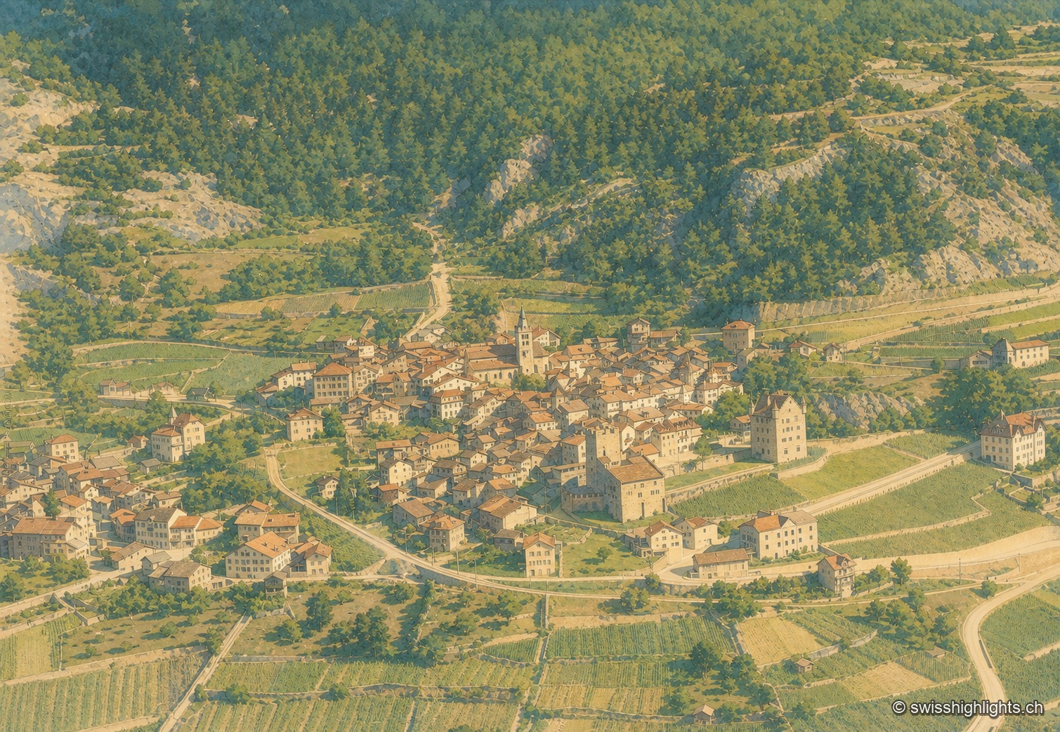
Medieval town · Upper Valais · 13 km as the crow flies
Leuk
Recorded in 515, Leuk keeps its bishop's castle, its Gothic church and its charnel house. Its 55.36 km² municipality holds both banks of the Rhône and takes in the Finges pine forest and the Illgraben fan.
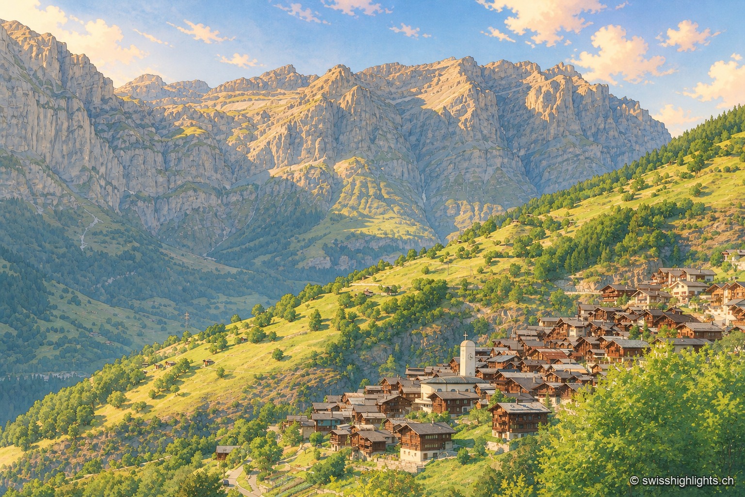
Mountain village · Valais · 13 km as the crow flies
Albinen
Until the road of 1956, eight wooden ladders fixed to the cliff were the only way to Leukerbad. They are still there, and the village counts 259 inhabitants.