Medieval town · Upper Valais
Leuk
A stone town clinging to a south-facing slope at 731 metres, at the point where the Rhône valley begins to bend.
Leuk — Loèche in French — occupies a slope turned to the south at 731 metres, exactly where the Rhône valley begins a slight bend: from the town the view runs downstream as far as Martigny. A plateau rises above it, carrying a large satellite receiving station. Capital of its district, the municipality covers 55.36 km², almost half of it wooded, and counted 4,340 inhabitants at the end of 2024.
It is one of the few Valais municipalities to hold both banks of the Rhône. On the left bank, on the valley floor, La Souste settled at the foot of an immense alluvial fan built by the debris of the Illgraben. West of the torrent begins the Finges forest, the Pfynwald, one of the largest pine woods in central Europe, protected as a reserve; to the east lies a wide patchwork of hedgerows and meadows. Between a bed of the Rhône left without embankments, this wood and the dry grasslands of the slope, Leuk is a significant nesting site and a centre for birdwatching.
The built fabric records the town's double allegiance. The church of St Stephen, Gothic beneath a Romanesque tower, keeps its frescoes, an archaeological crypt and a charnel house painted with a dance of death; the wall of skulls that goes with it runs for more than 20 metres. The bishop's castle, long the summer residence of the bishops of Sion, has been given contemporary interventions designed by Mario Botta; around it stand the Renaissance De Werra castle, a pentagonal town hall and the fortified Dala tower. Between the town and La Souste, the Ringacker pilgrimage chapel, built in 1694, holds a high altar completed in 1705 by the sculptor Johann Sigristen and the second oldest organ in Valais, after the one in the basilica of Valère.
Vines hold the slope — petite arvine, pinot noir, fendant — and a vineyard path 66 kilometres long sets out from here to reach Martigny. The municipality speaks German at 86.9%, with a French-speaking minority of 12.3%: the language border runs close by, and the place carries two names without either driving out the other.
Why this place is remarkable
Leuk owes its singularity to a position. The town clings to the last slope before the Rhône valley turns, and the municipality, one of the few in Valais to own both banks, adds up landscapes that rarely meet in one place: the alluvial fan of the Illgraben, the Finges pine forest, a river left without embankments, and above them a town of stone where the bishop's castle has received the hand of Mario Botta.
History and origin
The name appears in 515 in an archival document, in the form Leuca; its origin is still debated, linked to an Indo-European root for light — in Gaulish, leucos meant bright, shining. The Romans, who improved the nearby Gemmi pass, introduced the vine here. In 1142 Leuk passed under the control of the prince-bishopric of Sion and the castle became the bishop's summer residence; around 1260 the town obtained its franchises and its standing as an independent town. In the Middle Ages and the Renaissance it counted more than twenty mills and as many lawyers in practice. The Reformation found its Valais focus here, led by Michael Mageran, before Leuk remained Catholic after all. On the night of 27 May 1799 the battle of Finges set the French against the Upper Valaisans, who were defeated, and the town was sacked. In 2013 the former municipality of Erschmatt was attached to it.
What to do and see
- Look out from the Loèche hillside over the bend the Rhône valley traces downstream, as far as Martigny.
- See in the church of Saint-Étienne the frescoes, the archaeological crypt and the ossuary with its dance of death, whose wall of skulls runs for more than 20 metres.
- Spot around the Bishop's Castle the contemporary interventions by Mario Botta, next to the Renaissance De Werra castle and the fortified Dala tower.
- Walk a stretch of the vineyard path, which follows petite arvine and pinot noir vines for 66 kilometres to Martigny.
Coming with family: what to know
- The hillside and the medieval town lend themselves to a quiet walk between the monuments (church, castles, pentagonal town hall).
As a couple
- Enjoy the view over the Rhône valley from the south-facing hillside.
- Stop at the Ringacker pilgrimage chapel, built in 1694, for its 1705 high altar and its organ, the second-oldest in Valais.
- Follow a segment of the vineyard path between Loèche and La Souste, among the petite arvine vines.
Location
Loads an interactive Google Maps view on demand, from the place's verified coordinates.
The embedded map will be enabled once an authorized Google Maps key is configured. Use the link above in the meantime.
The map could not load. Check your connection or use the link above to open the place in Google Maps.
Related places
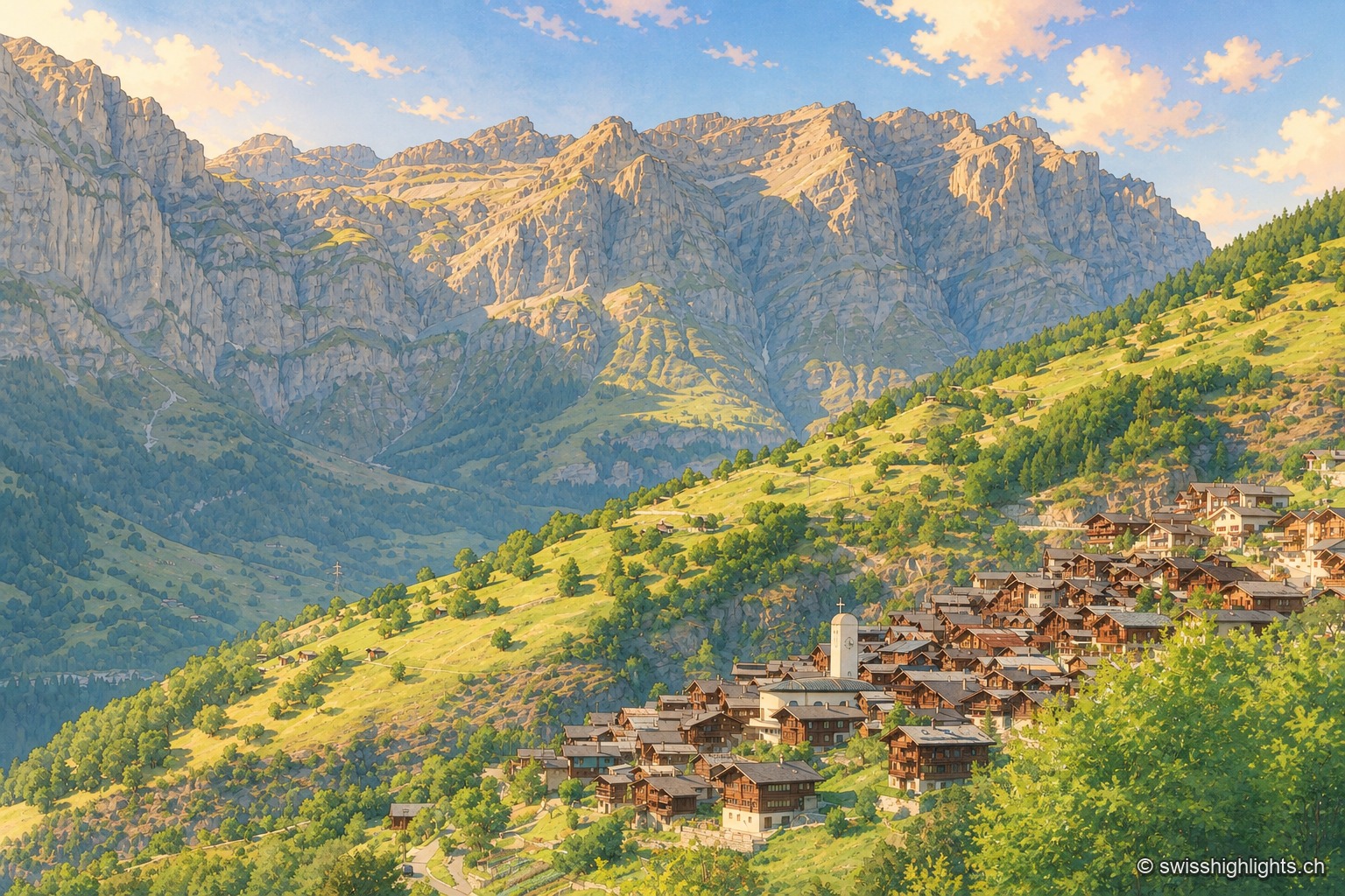
Mountain village · Valais · 2 km as the crow flies
Albinen
Until the road of 1956, eight wooden ladders fixed to the cliff were the only way to Leukerbad. They are still there, and the village counts 259 inhabitants.
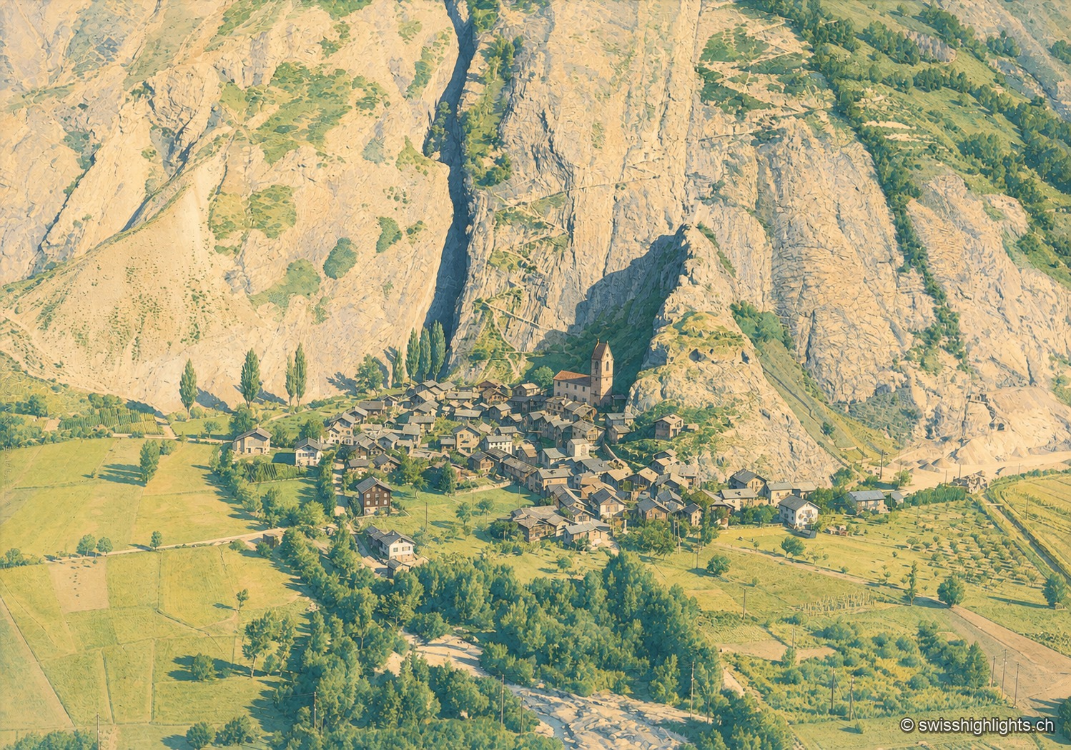
Valais village · Western Raron · 10 km as the crow flies
Niedergesteln
The name comes from the Latin castellum: a stone castrum once guarded the old road on the right bank. The Valais tithings destroyed the castle in 1384; the community bought back its rights in 1790.
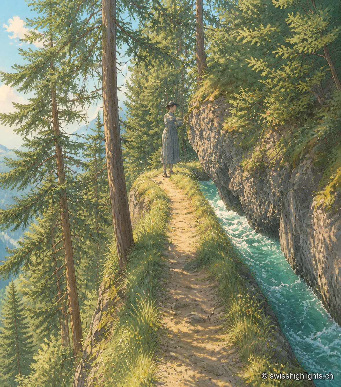
Historic bisse · Crans-Montana · 13 km as the crow flies
Bisse du Ro
Modified in 1925 to compensate for low stream flow, the Bisse du Ro was abandoned in 1947. Reopened as a trail and partly refilled with water in 2015, its route crosses cliffs secured, on the second half, only by a handrail.