Transit village · Uri
Amsteg
At 524 metres, where the Maderanertal opens onto the Reuss valley, a village the Gotthard road made and then unmade.
Amsteg holds the floor of the Reuss valley at 524 metres, one kilometre south of the village of Silenen to which it belongs. It is a confluence as much as a passage: the Chärstelenbach comes out of the Maderanertal here to join the Reuss, and the village settled where both watercourses had to be crossed. The Gotthard pass road runs over its bridges; above, the slopes close in so far that railway, trunk road and motorway must share the same corridor.
That position made the place, then unmade it. In the 18th century Amsteg established itself as a staging post on the Gotthard axis, at the expense of the neighbouring village of Dörfli. The opening of the Gotthard railway then took that traffic away, and the village declined. Only in the 20th century, with another way of working the mountain — water under pressure — did activity return: several power stations were built, along with an arsenal. The federal railways' power station, commissioned in 1922, was replaced in 1998 by a plant cut into a cavern inside the massif.
Above the village stands the ruin known as Zwing-Uri: the foundations of a castle tower raised at the end of the 13th century. Tradition attributes its construction to the bailiff Gessler, which the sources report as an attribution rather than an established fact. From the village a gondola lift climbs towards the Arnisee. The municipality of Silenen, of which Amsteg is part, is the largest by area in the canton of Uri, but 68.1% of its territory is unproductive: high mountain and glaciers.
Why this place is remarkable
Amsteg tells in a single place what the Gotthard crossing did to the valleys it uses. The village owes its existence to two bridges, its 18th-century prosperity to the posting stage, its decline to the railway that made that stage useless, and its return to work to water captured in the mountain. The valley floor still carries all four layers — bridge, road, rail, power station — within a few hundred metres of width.
History and origin
The village settled where the Maderanertal opens out, where the Chärstelenbach joins the Reuss and where the Gotthard road had to cross both. A castle tower was raised here at the end of the 13th century, of which only the foundations remain, known as Zwing-Uri. Amsteg became a staging post in the 18th century at the expense of Dörfli, lost that role with the Gotthard railway, then found activity again in the 20th century with power stations and an arsenal.
What to do and see
- Spot at the bottom of the valley the four superimposed layers — bridge, road, rail and factory — that tell the story of the Gotthard crossing.
- Climb up to the ruin known as Zwing-Uri, the foundations of a late 13th-century castle tower, traditionally attributed to bailiff Gessler.
- Observe the confluence of the Chärstelenbach and the Reuss, at the mouth of the Maderanertal, which determined where the village was founded.
- Take the cable car that climbs towards the Arnisee from the village.
Coming with family: what to know
- The village is worthwhile mainly for its industrial remains and castle ruin, more a story-based route than a fitted-out playground.
As a couple
- Observe together the narrowing of the valley where the railway, national road and motorway share the same corridor.
- Climb to the Zwing-Uri ruin for a viewpoint over the valley floor and its two bridges.
- Take the cable car towards the Arnisee to extend the stop at altitude.
Location
Loads an interactive Google Maps view on demand, from the place's verified coordinates.
The embedded map will be enabled once an authorized Google Maps key is configured. Use the link above in the meantime.
The map could not load. Check your connection or use the link above to open the place in Google Maps.
Related places
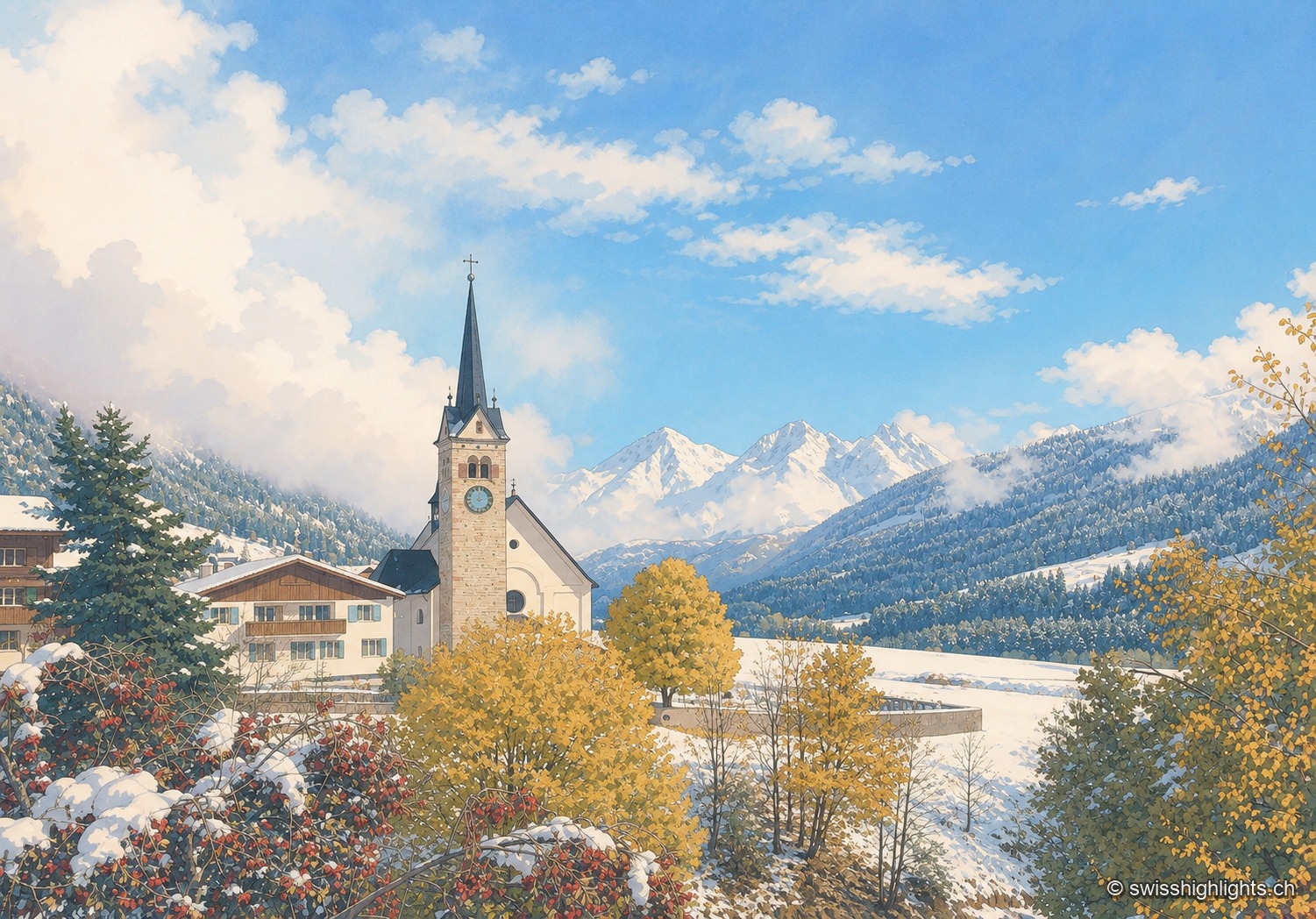
Village · Surselva, Grisons · 13 km as the crow flies
Sedrun
There has never been a village called Tujetsch: it was Sedrun, whose parish church was consecrated in 1205, that became the municipal capital. The Gotthard Base Tunnel runs beneath the municipality.
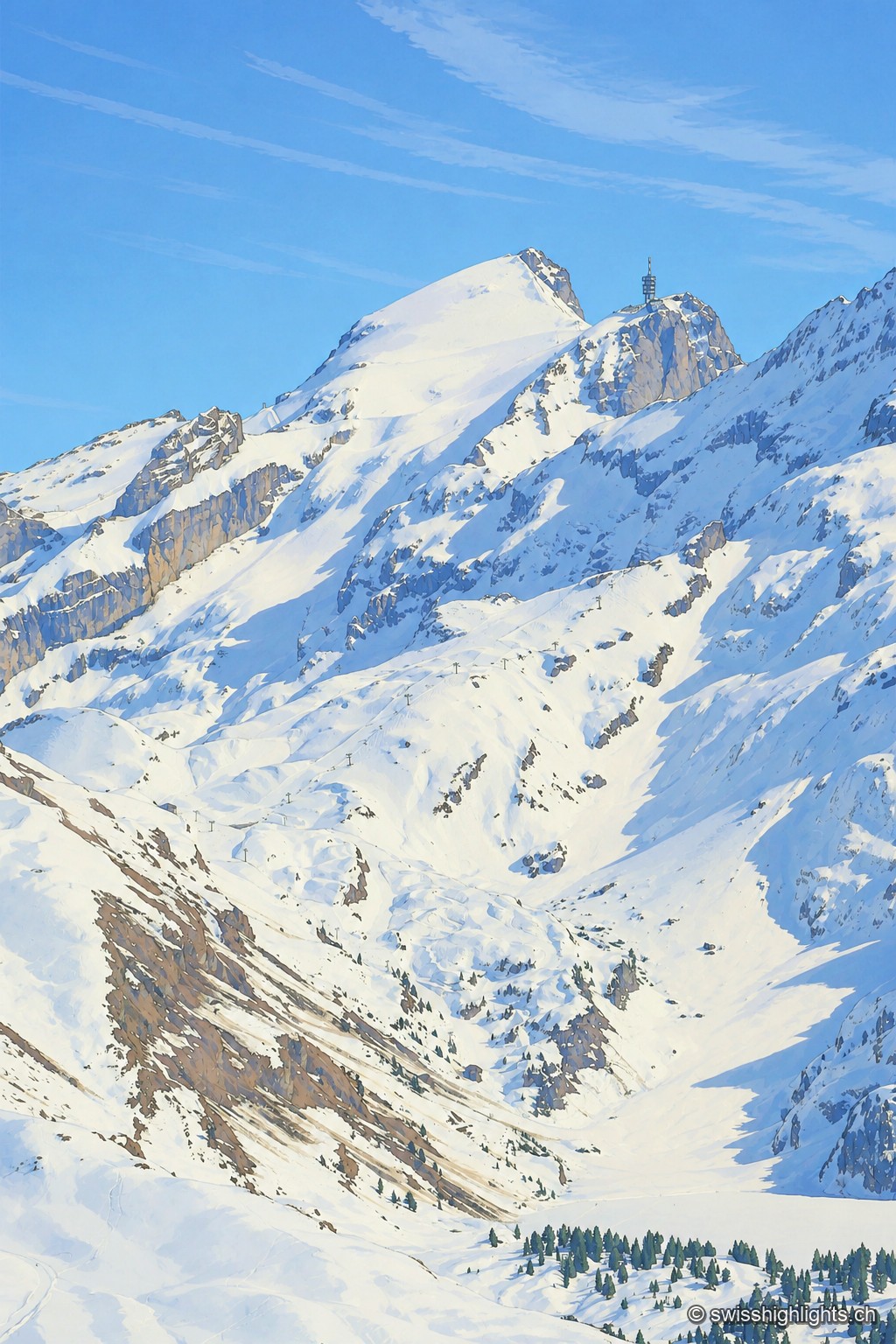
Summit · Obwalden–Bern · 18 km as the crow flies
Titlis
The Titlis reaches 3,238 metres at the end of an east–west limestone ridge. A glacier of 1.7 square kilometres covers its summit area; the upper cable-car station stands at 3,020 metres.
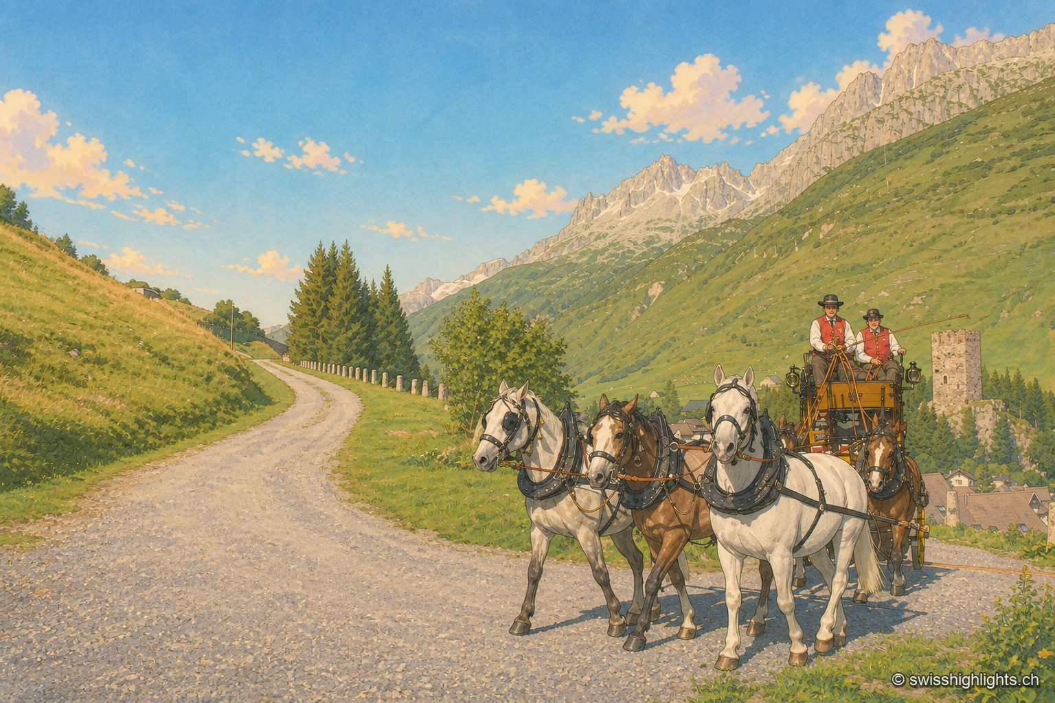
Gotthard village · Uri · 18 km as the crow flies
Hospental
182 inhabitants, a 13th-century tower emptied of its floors, timber houses rebuilt after the fire of 1669: Hospental stands where two torrents meet to become the Reuss.