Village · Surselva, Grisons
Sedrun
Main settlement of the municipality of Tujetsch, at 1,405 metres in the upper valley of the Vorderrhein, in Romansh-speaking country.
Sedrun is the main village of the municipality of Tujetsch, in the Grisons Surselva, at 1,405 metres, in the upper valley of the Vorderrhein. The municipality is a scattered settlement: eleven hamlets strung out from the Oberalp Pass down to below Bugnei, and no village bears the municipality's name — there never was one. It was Sedrun, where the parish church was consecrated in 1205, that established itself as the capital when the mountain farmers came down to the valley floor and gathered around the churches.
Romansh is spoken here: the local dialect, Tuatschin, differs markedly from Sursilvan, which remains the written language. The municipality's schools have been concentrated at Sedrun and Rueras since 1968, and the village is served by the Furka-Oberalp line, now the Matterhorn-Gotthard-Bahn, run in full from Brig to Disentis since 1925. Winter tourism, which transformed the valley, dates from the opening of a ski school in 1929.
Two underground works mark the place. The hydroelectric schemes of Val Nalps and Val Curnera, built from 1957 to 1967, have their power station near Sedrun, and water royalties have been an important source of municipal income ever since. Deeper still, the Gotthard Base Tunnel passes beneath the municipal territory; an underground station was planned there, the Porta Alpina, more than 800 metres below the surface, to serve the region. The canton of Grisons, the Surselva region and the municipality abandoned the project in 2007.
Why this place is remarkable
A capital with no village of the same name as its municipality: nothing was ever called Tujetsch, and it was around the church of Sedrun, consecrated in 1205, that a population scattered through the valley finally gathered. Beneath that same ground runs the Gotthard Base Tunnel, where a station more than 800 metres down, the Porta Alpina, was planned and then dropped in 2007.
History and origin
The wooded valley floor was settled after the foundation of Disentis Abbey, and habitation long remained scattered in isolated farms; in the 12th century the Walser crossed the Oberalp Pass and settled in the upper Tujetsch, where Germanic place names survive to this day. Of the 66 settlements recorded in the 15th and 16th centuries, only eleven survived, most of the others disappearing in the 18th century. The mountain has struck too: in 1808 an avalanche fell on Selva, another hamlet of the municipality, killing 25 people — the event inspired a painting by William Turner exhibited in 1810, now at Tate Britain.
What to do and see
- Visit the parish church of Sedrun, consecrated in 1205, around which the main village formed without any village bearing the commune's name.
- Picture the Gotthard Base Tunnel passing beneath the commune's territory, and the underground Porta Alpina station project abandoned in 2007.
- Spot the power stations of the Val Nalps and Val Curnera hydroelectric schemes, built from 1957 to 1967.
Coming with family: what to know
- The valley is closed to the west by the Oberalp Pass, whose road is not passable year-round.
As a couple
- Take the Matterhorn-Gotthard-Bahn line, running from Brig to Disentis since 1925, to reach the village.
- Listen, in Romansh-speaking territory, to Tuatschin, a local dialect distinct from written Sursilvan.
- Recall the 1808 avalanche that fell on the hamlet of Selva, which inspired a Turner painting now at Tate Britain.
The valley is closed to the west by the Oberalp Pass, whose road is not passable all year: road access depends on the season.
Location
Loads an interactive Google Maps view on demand, from the place's verified coordinates.
The embedded map will be enabled once an authorized Google Maps key is configured. Use the link above in the meantime.
The map could not load. Check your connection or use the link above to open the place in Google Maps.
Related places
Transit village · Uri · 13 km as the crow flies
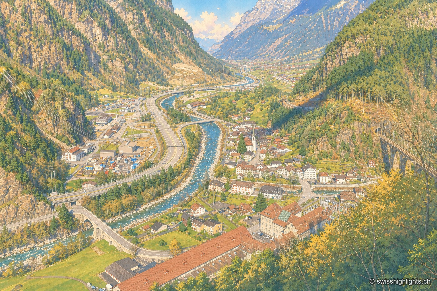
Amsteg
A staging post in the 18th century, ruined by the coming of the railway, revived in the 20th by hydroelectricity: the power station of 1922 was replaced in 1998 by a plant cut inside the mountain.
Gotthard village · Uri · 17 km as the crow flies
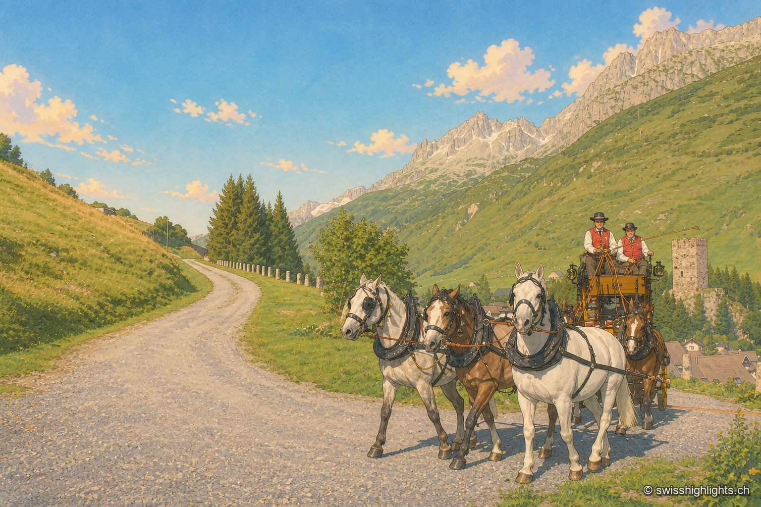
Hospental
182 inhabitants, a 13th-century tower emptied of its floors, timber houses rebuilt after the fire of 1669: Hospental stands where two torrents meet to become the Reuss.
Alpine pass · Uri – Ticino · 21 km as the crow flies
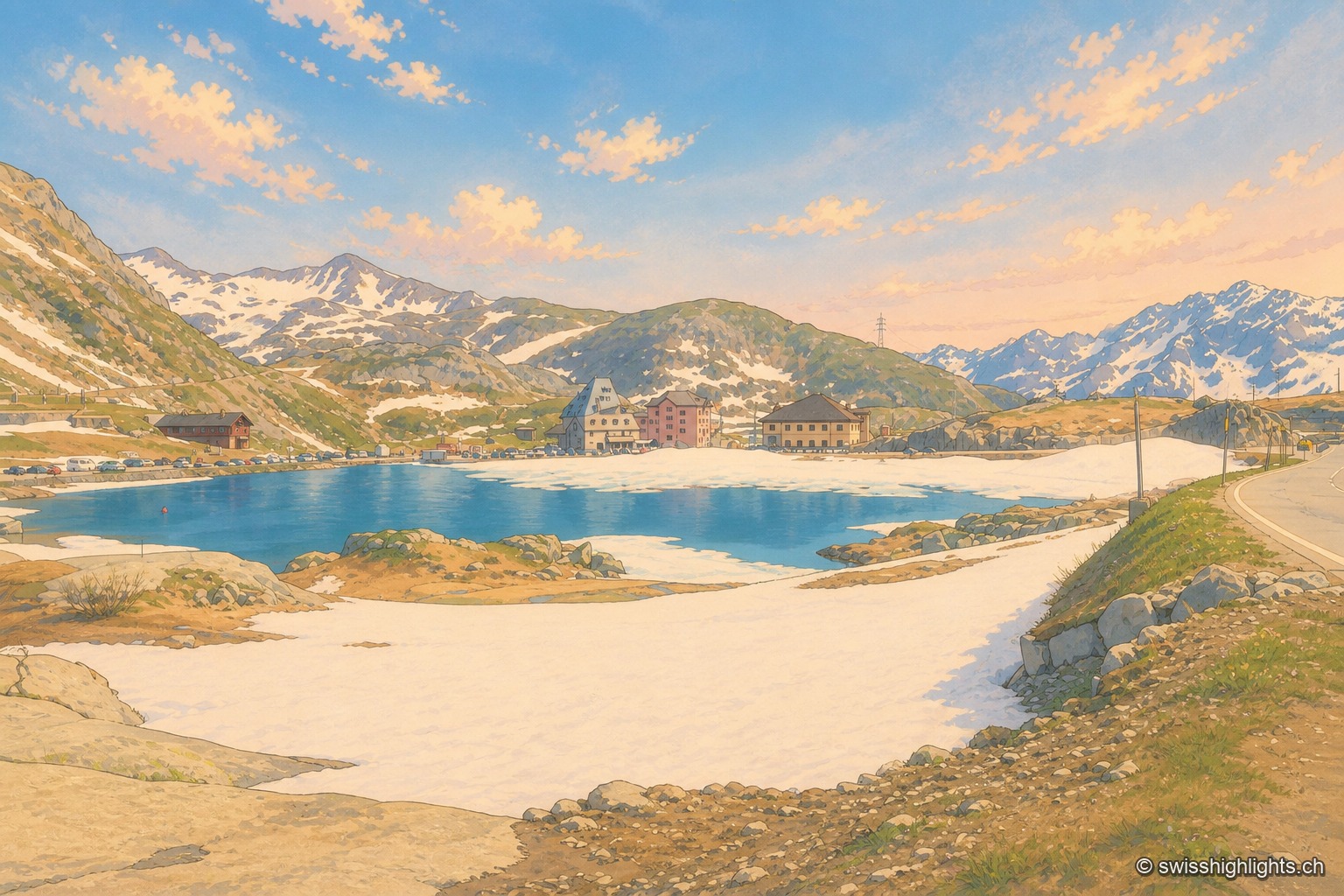
Gotthard Pass
Opened around 1220, the crossing linked the Po plain to northern Europe and weighed on the beginnings of the Confederation. A hospice recorded from 1237, the old cobbled Tremola road, the Sasso da Pigna fort turned museum.