Gotthard village · Uri
Hospental
A village of the Urseren valley, at 1,493 metres, grown around a mountain hospice where the Gotthard and Furka roads cross.
Hospental holds the floor of the Urseren valley, between Andermatt and Realp, at 1,493 metres. The village sits at the confluence of the Furkareuss and the Gotthardreuss: from their meeting the Reuss is born. Two pass roads cross here, the Gotthard and the Furka, and the Gotthard road tunnel runs beneath the municipality. The hamlet of Zumdorf, a former Walser settlement, completes the territory; in 2017 a single family of three lived there year-round.
The municipality covers 35 km², most of which escapes any use: 56% unproductive ground — bare rock, ice, high-alpine vegetation — 32% agricultural land, including 946 hectares of alpine pasture, 10% woodland, and only 1.4% buildings and roads. The population follows the same slope: 182 inhabitants on 31 December 2020, against 224 in 2008.
The village formed around a hospice founded in the 9th or 10th century by the abbey of Disentis — the Latin hospitale, the guesthouse, gave it its name. The place appears in writing in 1285 as Hospenthal, in 1499 under its Latin form Hospicium, in 1616 as Spithal. In the 12th century German-speaking Walser settled in a valley until then Romance-speaking and founded Zumdorf. In 1669 fire took the village: the log houses of the core date from after that blaze, and the tower of the lords of Hospental, built in the 13th century, still stands above them, uninhabited since the 15th.
The traffic of the passes kept the village alive: muleteers, inns, the crystal trade, mercenary service, the quarrying of serpentine since the 16th century. The opening of carriage roads launched the stagecoaches and the hotels, until the Gotthard railway, in 1882, took the muleteers' work away; between 1870 and 1920 the commune lost 180 inhabitants, 40% of its people. Hospental became an autonomous political commune in 1888, gained a railway station in 1926, then a bypass road in 1983, opened to spare a village core judged remarkable. Since 2023 it has belonged to the association of the Most Beautiful Villages of Switzerland.
Why this place is remarkable
Hospental is not at the foot of one pass but at the crossing of two, the Gotthard and the Furka, at the exact point where the Furkareuss and the Gotthardreuss join to become the Reuss. That junction made its fortune, then unmade it: the Gotthard railway, in 1882, abolished the muleteer's trade and drained 180 inhabitants from the village in fifty years. What remains is a 13th-century tower, a core of timber houses rebuilt after the fire of 1669, and a bypass road opened in 1983 so that lorries would stop driving through all of it.
History and origin
On the southern flank of the valley, above the village, a lens of serpentinite is worked as a quarry: flanked by zones of soapstone, it is set within the gneiss of the Gotthard massif. This dark green to blue-green stone is a traditional Swiss decorative rock; it has been taken here since the 16th century, and a modern quarry opened in 1917-1918. Much higher, at 2,170 metres, finds made in the 1990s at Rossplatten attest to occupation from the late Neolithic and the early Bronze Age. Between 1920 and 1944 several schemes for a hydroelectric plant in the Urseren were studied: they failed, not least against the village's refusal to be resettled.
What to do and see
- Observe the confluence of the Furkareuss and the Gotthardreuss, which gives rise to the Reuss at the heart of the village.
- Spot the tower of the lords of Hospental, built in the 13th century and uninhabited since the 15th.
- Walk through the cluster of timber houses rebuilt after the 1669 fire.
- Locate the crossing of the Gotthard and Furka roads which made the village's fortune and then its decline.
Coming with family: what to know
- The village sits at 1,493 metres of altitude, at the bottom of a valley but in a mountain setting.
As a couple
- Walk to the point where the Furkareuss and the Gotthardreuss meet to form the Reuss.
- Stop in front of the 13th-century tower that dominates the built-up core.
- As you wander together, discover the historic crossing point of the Gotthard and Furka routes.
- Look for the wooden houses rebuilt after the 1669 fire.
Location
Loads an interactive Google Maps view on demand, from the place's verified coordinates.
The embedded map will be enabled once an authorized Google Maps key is configured. Use the link above in the meantime.
The map could not load. Check your connection or use the link above to open the place in Google Maps.
Related places
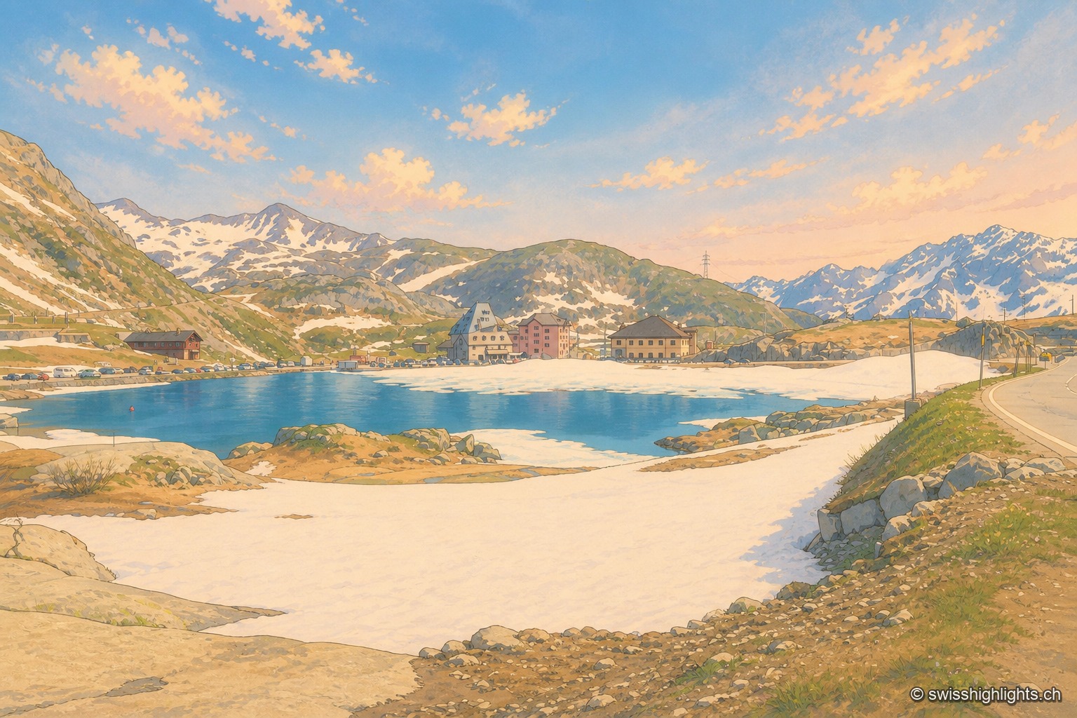
Alpine pass · Uri – Ticino · 7 km as the crow flies
Gotthard Pass
Opened around 1220, the crossing linked the Po plain to northern Europe and weighed on the beginnings of the Confederation. A hospice recorded from 1237, the old cobbled Tremola road, the Sasso da Pigna fort turned museum.
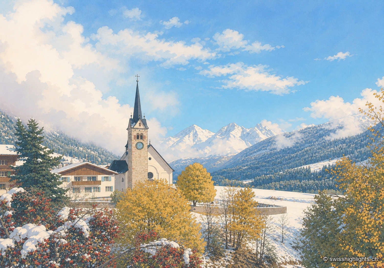
Village · Surselva, Grisons · 17 km as the crow flies
Sedrun
There has never been a village called Tujetsch: it was Sedrun, whose parish church was consecrated in 1205, that became the municipal capital. The Gotthard Base Tunnel runs beneath the municipality.
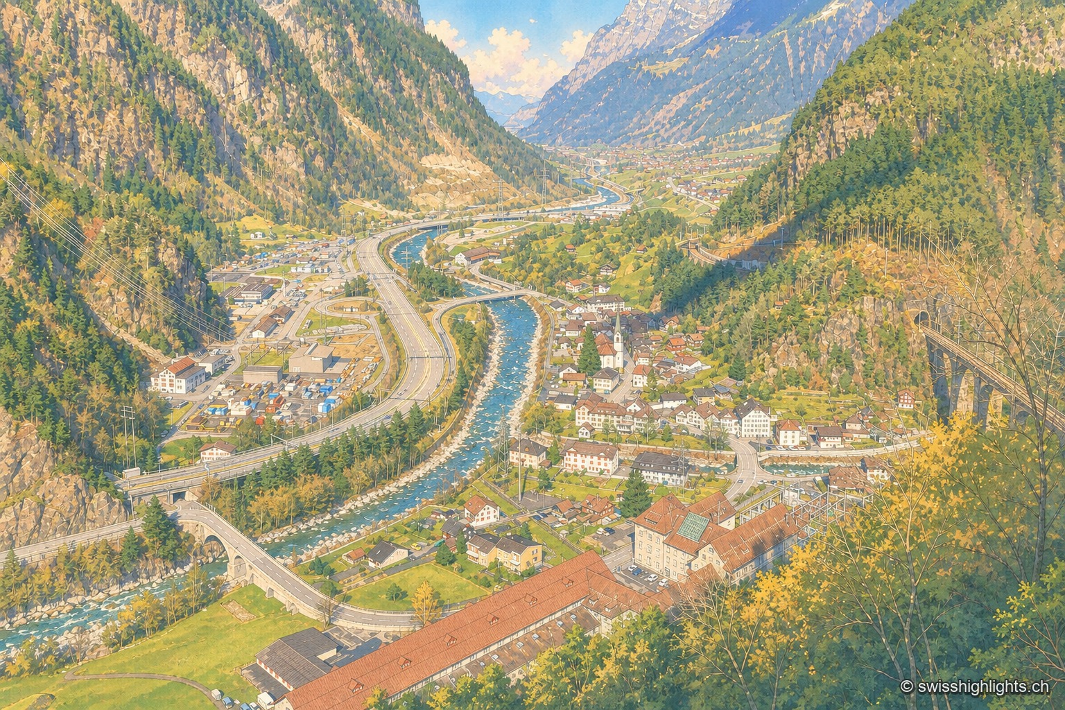
Transit village · Uri · 18 km as the crow flies
Amsteg
A staging post in the 18th century, ruined by the coming of the railway, revived in the 20th by hydroelectricity: the power station of 1922 was replaced in 1998 by a plant cut inside the mountain.