Summit · Obwalden–Bern
Titlis
A 3,238-metre summit between Obwalden and Bern, its long limestone ridge standing over Engelberg to the north.
The Titlis carries the high point of a chain in the Uri Alps to 3,238 metres, between Engelberg to the north and the Gadmen valley to the south. The summit forms a long limestone ridge running east to west. To the south and east the mountain drops in steep walls; to the west a narrow, notched crest links it to its neighbours; only the northern side falls away in moderate slopes, broken by two broad terraces. That is the way up, and from the top the view reaches the Bernese Alps, the Plateau and the country around Lake Lucerne.
The mountain belongs to the undisplaced limestone cover of the Aar massif: rock laid down on the edge of the Tethys and left in place when the Alps folded. A glacier of 1.7 square kilometres covers the summit area — a small Alpine glacier, and one that is retreating like the rest. Below to the north-east, the Jochpass opens a way through at 2,222 metres. The summit ridge separates Obwalden from Bern; Nidwalden does not touch it but holds the slopes beneath the top.
This is an equipped summit. A cable car climbs from Engelberg in four stages — Gerschnialp, Trübsee, Stand — to the Klein Titlis at 3,020 metres, below a secondary peak of 3,061 metres. Its final section was, according to the German encyclopedia, the first in the world to turn its cabins: at first the floor alone, then the whole cabin through a full turn, from November 2014. A walkway of about 100 metres, opened in December 2012 at 3,041 metres, crosses a slope that falls away 500 metres; it is reached through a 140-metre tunnel. As for the radio-relay tower built between 1979 and 1985, it was rebuilt from 2023 and reopened in May 2026, with an observation platform on top and a restaurant below.
Why this place is remarkable
What sets the Titlis apart is not its height — 3,238 metres is nothing exceptional in the Alps — but the ease with which its ice can be reached. A gentle northern side, two terraces, and a cable car could be set on it whose upper station stands at 3,020 metres: from the valley floor to the glacier without walking. That accessibility made the place's fortune and is now its contradiction, since the 1.7-square-kilometre glacier people come to see is shrinking year by year.
History and origin
The name comes from a man: a document of 1435 writes Tutilinesberc, Tutilo's mountain, from which Titlisberg and then Titlis; the mountain was also called Wendenstock or Nollen. The sources disagree about the first ascent — an unnamed monk of Engelberg abbey in 1739, a party of four in 1744, or the monks Ignatius Hess and Josef Eugen Wasser around 1740 — and the summit is said to be the second above 3,000 metres to be climbed in the Alps, after Rocciamelone. The first winter ascent goes to Professor Picard and Melchior Anderegg in 1866; the first ascent on skis to Joseph Kuster and Willi Amrhein, on 21 January 1904. The cable car reached the Klein Titlis in March 1967.
What to do and see
- Go up by the cable car that climbs the north slope in four stages from Engelberg to the Klein Titlis, at 3,020 metres.
- Cross the roughly 100-metre footbridge opened in December 2012, spanning a slope that drops 500 metres, after the 140-metre tunnel.
- Observe the 1.7-square-kilometre glacier covering the summit area, and its slow shrinkage.
- Enjoy from the summit the view of the Bernese Alps, the Plateau, and the Lake Lucerne region.
Coming with family: what to know
- The south and east side of the summit falls away in steep walls, and the footbridge overhangs a slope dropping 500 metres — caution needed at altitude.
As a couple
- Go up together by cable car to the Klein Titlis, at 3,020 metres.
- Cross the footbridge spanning a slope with a 500-metre drop, after the access tunnel.
- Observe the 1.7-square-kilometre glacier from the summit area.
- Enjoy the view of the Bernese Alps and Lake Lucerne from the summit.
Location
Loads an interactive Google Maps view on demand, from the place's verified coordinates.
The embedded map will be enabled once an authorized Google Maps key is configured. Use the link above in the meantime.
The map could not load. Check your connection or use the link above to open the place in Google Maps.
Related places
Pilgrimage village · Obwalden · 17 km as the crow flies
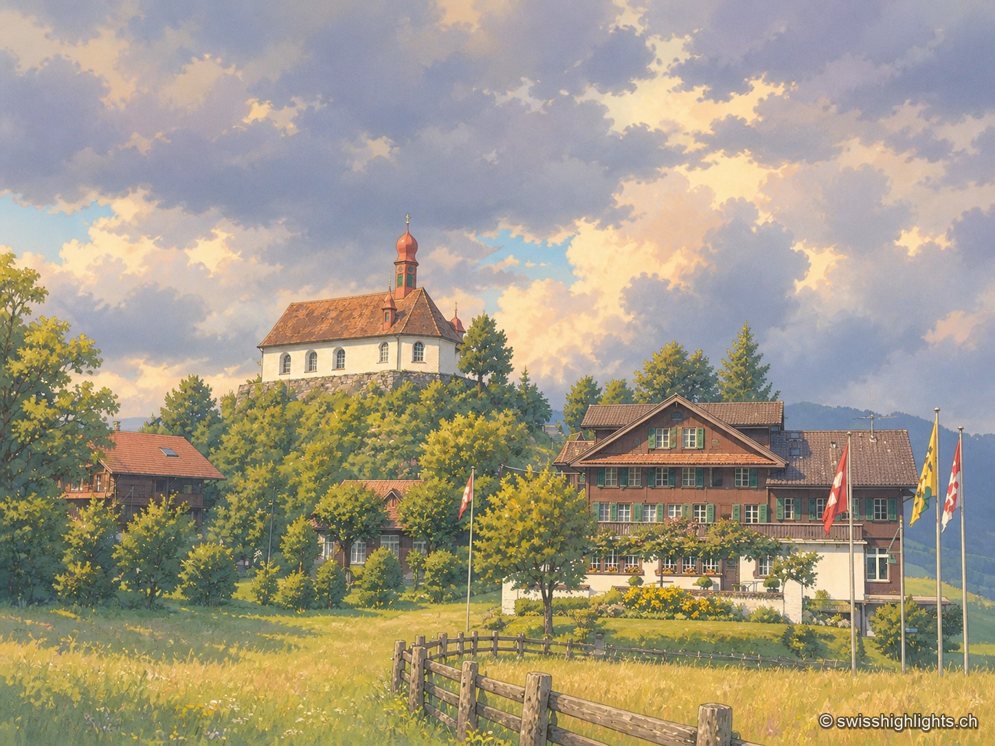
Flüeli-Ranft
Niklaus von Flüe (1417-1487) withdraws to the Ranft in 1467. The upper chapel is consecrated in 1469, the lower chapel built in 1501. Canonised on 15 May 1947 under Pius XII, he gave his name to the village, called only Flüeli until 1966.
Transit village · Uri · 18 km as the crow flies
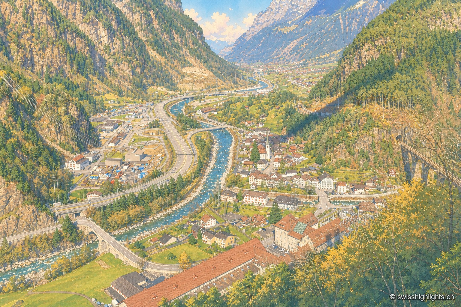
Amsteg
A staging post in the 18th century, ruined by the coming of the railway, revived in the 20th by hydroelectricity: the power station of 1922 was replaced in 1998 by a plant cut inside the mountain.
River gorge · Bernese Oberland · 18 km as the crow flies
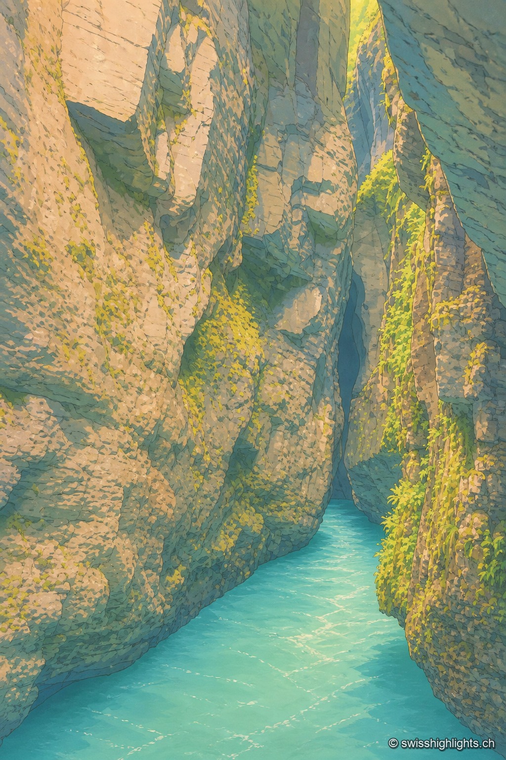
Aare Gorge
A path was opened to visitors here in 1888; electric lighting for night walks dates from 1912. 1,400 metres long, the gorge reaches 180 metres deep and narrows in places to 1 metre wide.