Weinland town · Zurich
Andelfingen
Capital of the Zurich Weinland, set on the south bank of the Thur, crossed by a covered wooden bridge built in 1814-1815.
Andelfingen sits on the south bank of the Thur, at 370 metres, between Schaffhausen and Winterthur, at the centre of the district of which it is the capital — a district also called the Weinland, the wine country. The old centre holds to a few streets: a castle built in 1780-1782 with its outbuildings, the former chancellery of 1697, the Löwen inn whose oldest parts go back to the sixteenth century. The castle park, laid out in the nineteenth century, is open to the public; the building itself, which housed a retirement home until 1999, now serves as flats and offices.
Everything here turns on the river crossing. Andelfingen was one of the few points where the Thur could be crossed, a natural barrier if ever there was one; the bridge, already widened in 1324, had made the town a place of toll and regional trade. Destroyed by war in 1799, it was replaced in 1814-1815 by a covered wooden bridge, the work of Hans Konrad Stadler, which still leads to Kleinandelfingen on the far bank. The same position earned the site, during the Second World War, a defensive barrier position meant to reinforce the natural obstacle.
The Reformed church sums up on its own the layering of the place. Remains of walls beneath the present building suggest a settlement in the eighth century; a church is recorded in 1260, and its nave was rebuilt in 1666-1667. In 1861-1862 Johann Caspar Wolff raised the neo-Gothic tower that now marks it from far off, above the roofs of the town.
Why this place is remarkable
Andelfingen owes its existence to a constraint of terrain: the Thur is hard to cross, and the town holds one of the few crossings. Everything that followed comes from that — a medieval toll that became a district capital, a covered wooden bridge of 1814-1815 still in service, and, for the same geographical reason, a defensive barrier position dug during the Second World War at the exact point where the river stops being an obstacle.
History and origin
The ground has yielded Neolithic stone axes and Bronze Age pottery. In 1911 the discovery of two richly furnished graves led to the excavation of a cemetery of 29 burials, assigned to the fourth and third centuries BC. The name appears in 1248, in the form Andelfingon. The castle belonged to the sons of Emperor Albert, who pledged it to the lords of Landenberg; in 1434 they sold Andelfingen to Zurich. The town was officially called Grossandelfingen until 1970. On 1 January 2023 the neighbouring municipalities of Adlikon and Humlikon joined it.
What to do and see
- Cross the covered wooden bridge built in 1814-1815 by Hans Konrad Stadler, which still links the town to Kleinandelfingen.
- Observe the neo-Gothic tower raised in 1861-1862 by Johann Caspar Wolff on the reformed church, whose oldest walls date back to the 8th century.
- Stroll through the castle park, laid out in the 19th century and open to the public, in front of the 1780-1782 building.
- Spot the crossing point of the Thur that made the town a medieval toll place and later a district capital.
Coming with family: what to know
- The covered wooden bridge and the town's main street lend themselves to a quiet walk, with no particular reception facility reported.
As a couple
- Cross together the covered wooden bridge of 1814-1815 over the Thur.
- Wander through the 19th-century castle park, open to the public.
- Stop in front of the Löwen inn, whose oldest parts date back to the 16th century, to picture the town as it once was.
Location
Loads an interactive Google Maps view on demand, from the place's verified coordinates.
The embedded map will be enabled once an authorized Google Maps key is configured. Use the link above in the meantime.
The map could not load. Check your connection or use the link above to open the place in Google Maps.
Related places
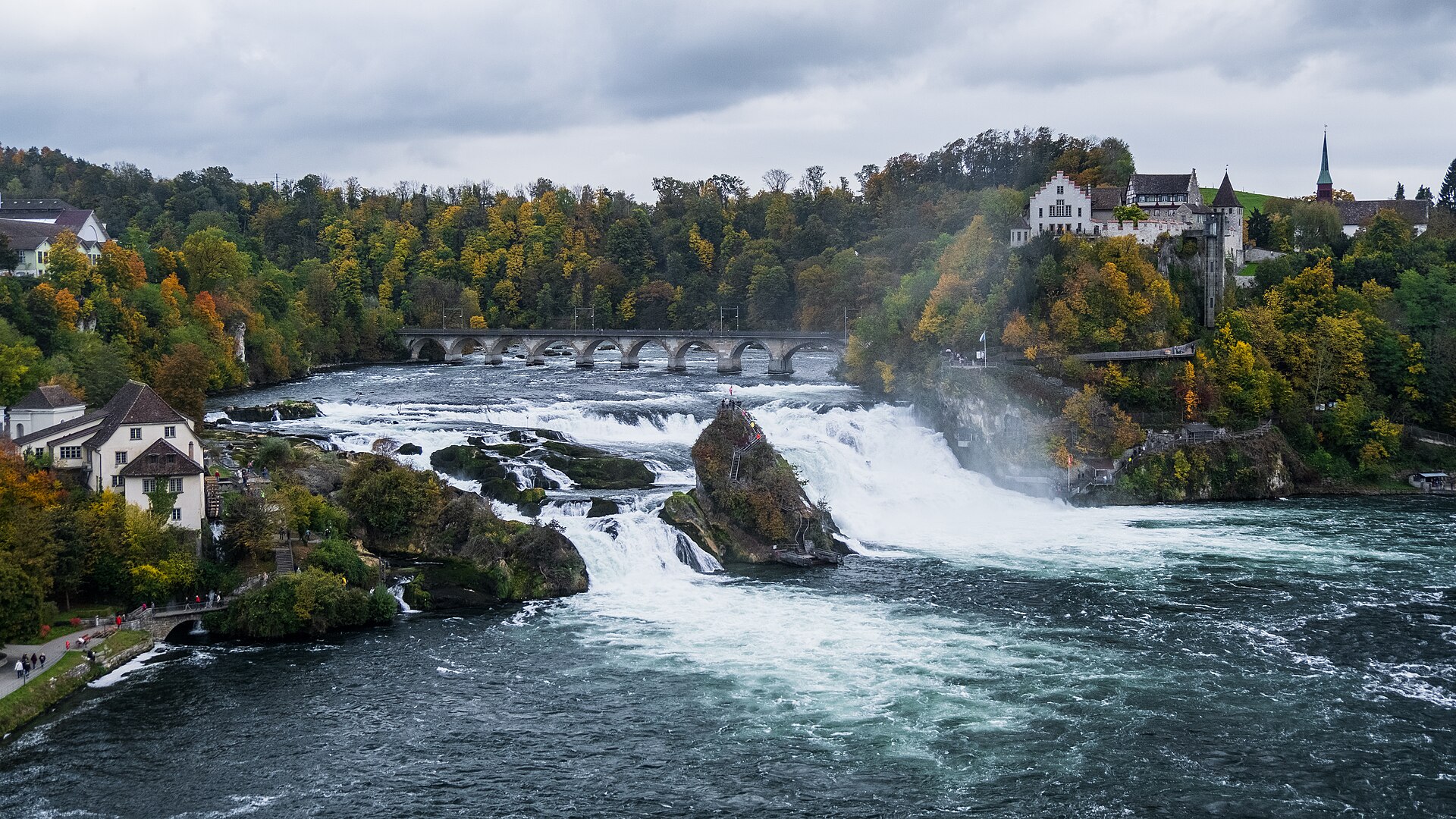
Waterfall · Schaffhausen · 10 km as the crow flies
Rhine Falls
A sheet of water 150 metres wide falls 23 metres over a sill of Malm limestone. As a summer average, the flow is close to 600 cubic metres per second.
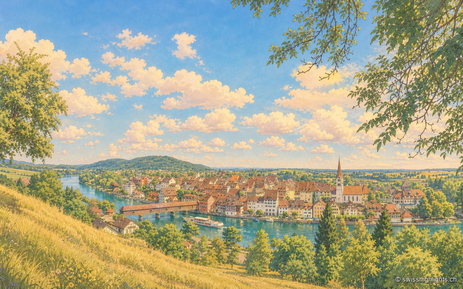
Rhine town · Thurgau · 11 km as the crow flies
Diessenhofen
Raised to town status in 1178 by the counts of Kyburg, Diessenhofen has kept its medieval street plan, its Seal Tower with a zodiac dial, and its covered wooden bridge across the Rhine into Germany.
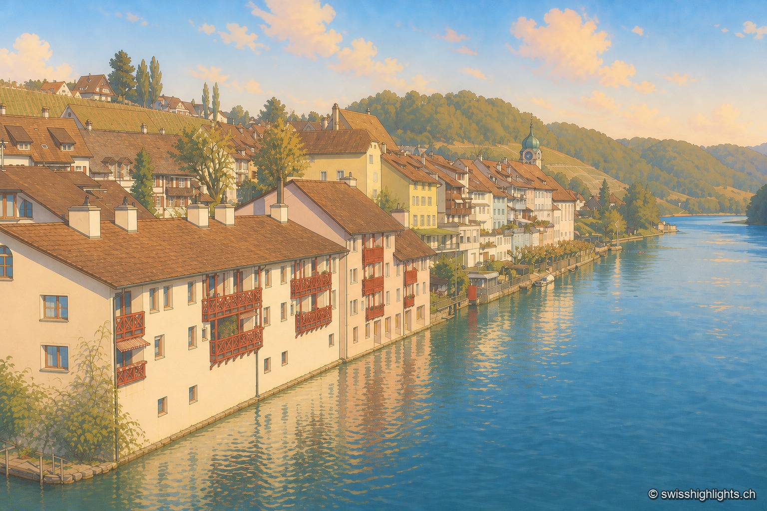
Rhine wine town · Zurich · 12 km as the crow flies
Eglisau
On the north bank of the Rhine, Eglisau lines its houses at the water's edge below vineyard slopes. The dam built between 1916 and 1920 raised the river by 8.5 metres, taking with it the old bridge and the houses along the bank.