Rhine town · Thurgau
Diessenhofen
A medieval town on the Thurgau bank of the High Rhine, linked to Germany by a covered wooden bridge recorded as early as 1292.
Diessenhofen occupies the Swiss bank of the High Rhine, in Thurgau, between Schaffhausen and Stein am Rhein. Here the river serves as a border: the opposite bank is German, and the municipal territory follows the water for some eight kilometres. The small town has kept the tight plan the Middle Ages left it, and on that account it is listed, together with the neighbouring former convent of St. Katharinental, in the federal inventory of built sites of national importance worthy of protection.
The covered wooden bridge is what holds the eye first: a low, closed timber frame set on piers driven into the current, coming out in Germany, at Gailingen. A crossing is recorded here as early as 1292; the one used today was rebuilt after the destruction of 1799 by the carpenters Andreas Widmer and Jakob Ruch, and opened in 1816. In the town, the main street passes beneath the archway of the Siegelturm, the tower where seals and charters were kept from the Middle Ages on; its dial carries a moon clock and the twelve signs of the zodiac. Higher up, the slender spire of St. Dionysius church rises above the roofs; at the western corner, right at the water's edge, Unterhof castle has held the town since 1186.
Its position on the river long made the place's living: until inland customs duties were abolished in 1848, the tolls on the bridge and the crossing were the town's main source of income. The railway came only afterwards — the station opened in 1894 — and the settlement then stretched southwards without cutting into the old core. Navigation on the Rhine now serves little beyond tourism: scheduled boats call at the landing stage, below the houses.
Why this place is remarkable
What sets Diessenhofen apart is that the river here is both street and border. The covered wooden bridge links not two districts but two countries: you enter it in Switzerland and leave it in Germany, at Gailingen. Around it the town has kept the fabric given it by its elevation to town status in 1178; and one of its buildings yielded, in 1904, a document of which no other example is known: a sheet of paper from about 1396, carrying two love songs with their melodies.
History and origin
The name first appears in 757, when a priest called Lazarus gave his hamlet to the abbey of St Gall. In 1178 count Hartmann III of Kyburg raised the place to town status with sixty house plots; the charter of 1260 confirmed and extended its urban rights. The Confederates took it in 1460, after a ten-day siege, during the conquest of Thurgau, but the town kept privileges of its own. District capital from 1798 to 2010, Diessenhofen lost that function without losing its buildings: St. Dionysius church, whose origin goes back to the building mentioned in 757, was rebuilt in Romanesque form in the thirteenth century, turned around 1500 into a three-aisled basilica, and served both confessions from 1543 to 1967.
What to do and see
- Cross the covered wooden bridge, attested since 1292, which links Switzerland to Germany at Gailingen.
- Pass under the arcade of the Siegelturm and observe its clock face with lunar dial and zodiac signs.
- Spot the Unterhof castle, at the western corner of the town by the water, held since 1186.
- Follow the Rhine bank to the landing stage where the scheduled boats stop.
Coming with family: what to know
- The town's tight medieval layout and the crossing of the covered bridge can be walked without any particular difficulty noted.
As a couple
- Cross the covered bridge together, entering Switzerland on one side and Germany on the other.
- Observe the slender bell tower of St. Dionysius church, rising above the town's rooftops.
- Stroll through the medieval core, listed in the federal inventory of sites of national importance.
Location
Loads an interactive Google Maps view on demand, from the place's verified coordinates.
The embedded map will be enabled once an authorized Google Maps key is configured. Use the link above in the meantime.
The map could not load. Check your connection or use the link above to open the place in Google Maps.
Related places
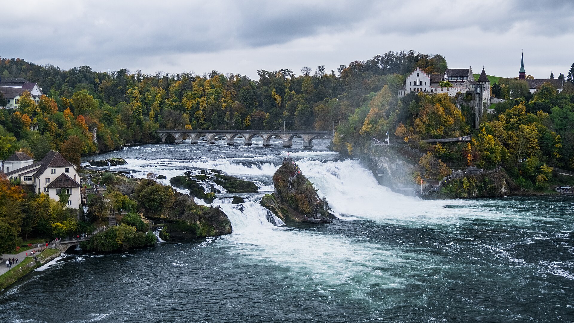
Waterfall · Schaffhausen · 10 km as the crow flies
Rhine Falls
A sheet of water 150 metres wide falls 23 metres over a sill of Malm limestone. As a summer average, the flow is close to 600 cubic metres per second.
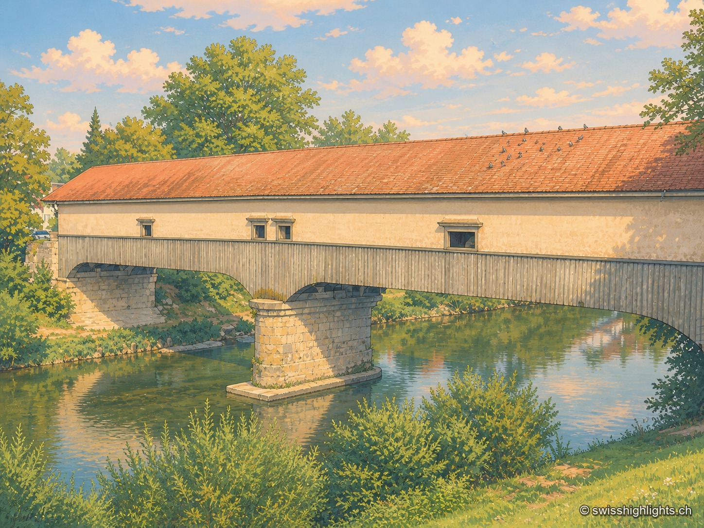
Weinland town · Zurich · 11 km as the crow flies
Andelfingen
Recorded in 1248, Andelfingen commanded one of the few crossings of the Thur: a toll, a bridge already widened in 1324, destroyed in 1799 and rebuilt in wood in 1814-1815. The town keeps a castle of 1780-1782 and a chancellery of 1697.
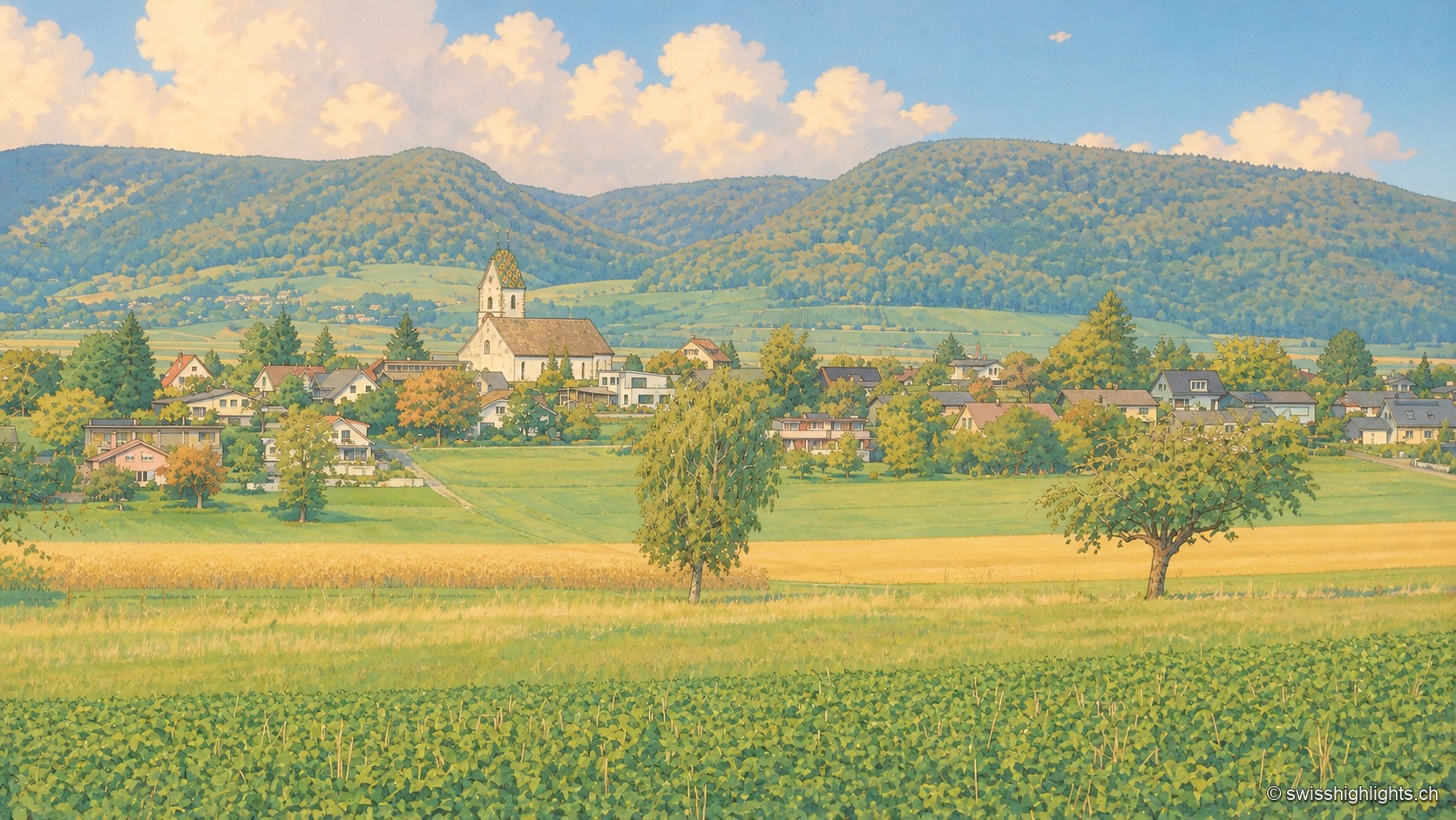
Planned small town · Schaffhausen · 19 km as the crow flies
Neunkirch
Destroyed and then rebuilt in one go, it has kept its rectangle of four parallel streets. Long held by the bishops of Constance, it was sold to Schaffhausen in 1525 for 8,500 guilders.