Rhine wine town · Zurich
Eglisau
A small town on the Zurich Rhine, held between the water and its vineyard slopes, where damming raised the river by 8.5 metres.
Eglisau holds the north bank of the Rhine, in the district of Bülach, in the north of the canton of Zurich and close to the German border. The medieval core can still be read in the town plan, which is listed in the federal inventory of built sites of national importance worthy of protection. With barely more than five thousand inhabitants, the municipality has nonetheless kept the town rights it acquired in the Middle Ages: Eglisau belongs to the small group of Zurich country towns, with Elgg, Greifensee, Grüningen, Bülach and Regensberg, founded as fortified places by noble families and granted toll and market privileges.
Seen from the bridge, the town appears as a row of houses set right at the water's edge, wooden balconies painted red above the current, and an onion-domed tower closing the line. Above them the slope is planted with vines up to the forest edge; the vineyard marks the built landscape and still counts in the local economy. The Reformed church, first mentioned in 1254, was remodelled in 1715-1716 on a reduced version of St Peter's church in Zurich; its pre-Reformation choir has stayed in place, with late fifteenth-century Gothic frescoes. Downstream, the railway viaduct crosses the river over 440 metres: a 90-metre truss span in the middle, stone arches on either side — twelve on one, nine on the other, the southern approach describing a curve.
Today's river is no longer the earlier one. Between 1916 and 1920 the building of the dam, four kilometres downstream at the confluence with the Glatt, raised the water by 8.5 metres: the road bridge had to be demolished, as did the houses along the bank, and a new bridge was built in 1919 west of the old core. Navigation had already lost its economic base by the end of the nineteenth century, when the tolls disappeared and the railway arrived.
Why this place is remarkable
Eglisau is a town the Rhine made and then remade. It made it first as a crossing point: a road bridge is recorded here from the middle of the thirteenth century, and the town lived on transit, salt, fish and wine. It remade it between 1916 and 1920, when the reservoir raised the water level by 8.5 metres and erased the low bank with its houses and its bridge. What remains lies in that double reading: a town front that drops straight into the water, and behind it, on the slope, rows of vines that have not moved.
History and origin
The earliest traces of settlement in the municipal territory go back to the late Bronze Age, the tenth and ninth centuries BC: a fortified hilltop settlement on the Rhinsberg, uncovered by excavations of the University of Zurich and the cantonal archaeology service in 1998 and 1999, which brought to light a ring rampart on stone foundations. The oldest surviving mention of the hamlet of Seglingen dates from 892. The town itself was founded by the lords of Tengen, who held it until 1463, when it passed to baron Bernhard Gradner. It then became a Zurich bailiwick — 1489 according to the German Wikipedia, 1496 according to the French one — with its seat in a castle demolished in 1810.
What to do and see
- Observe from the bridge the row of houses with red-painted wooden balconies, set right at the water's edge.
- Visit the reformed church, first mentioned in 1254, reworked in 1715-1716 on the model of St. Peter's in Zurich, with its 15th-century Gothic choir.
- Spot the 440-metre railway viaduct, with its central lattice girder and stone arches.
- Climb through the vineyards that cover the slope up to the forest edge.
Coming with family: what to know
- The small town can be walked between the bridge, the quays and the climb through the vineyards, without any particular difficulty noted.
As a couple
- Contemplate from the bridge the facade of the town plunging directly into the waters of the Rhine.
- Along the river, tell each other how the dam built between 1916 and 1920 raised the water level by 8.5 metres, submerging the old riverbank and its bridge.
- Follow the rows of vines on the slope, which remained in place despite the transformation of the river.
- Observe the onion-domed bell tower that closes the line of the town seen from the bridge.
Location
Loads an interactive Google Maps view on demand, from the place's verified coordinates.
The embedded map will be enabled once an authorized Google Maps key is configured. Use the link above in the meantime.
The map could not load. Check your connection or use the link above to open the place in Google Maps.
Related places
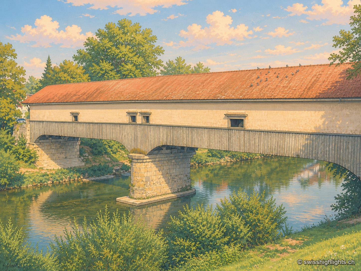
Weinland town · Zurich · 12 km as the crow flies
Andelfingen
Recorded in 1248, Andelfingen commanded one of the few crossings of the Thur: a toll, a bridge already widened in 1324, destroyed in 1799 and rebuilt in wood in 1814-1815. The town keeps a castle of 1780-1782 and a chancellery of 1697.
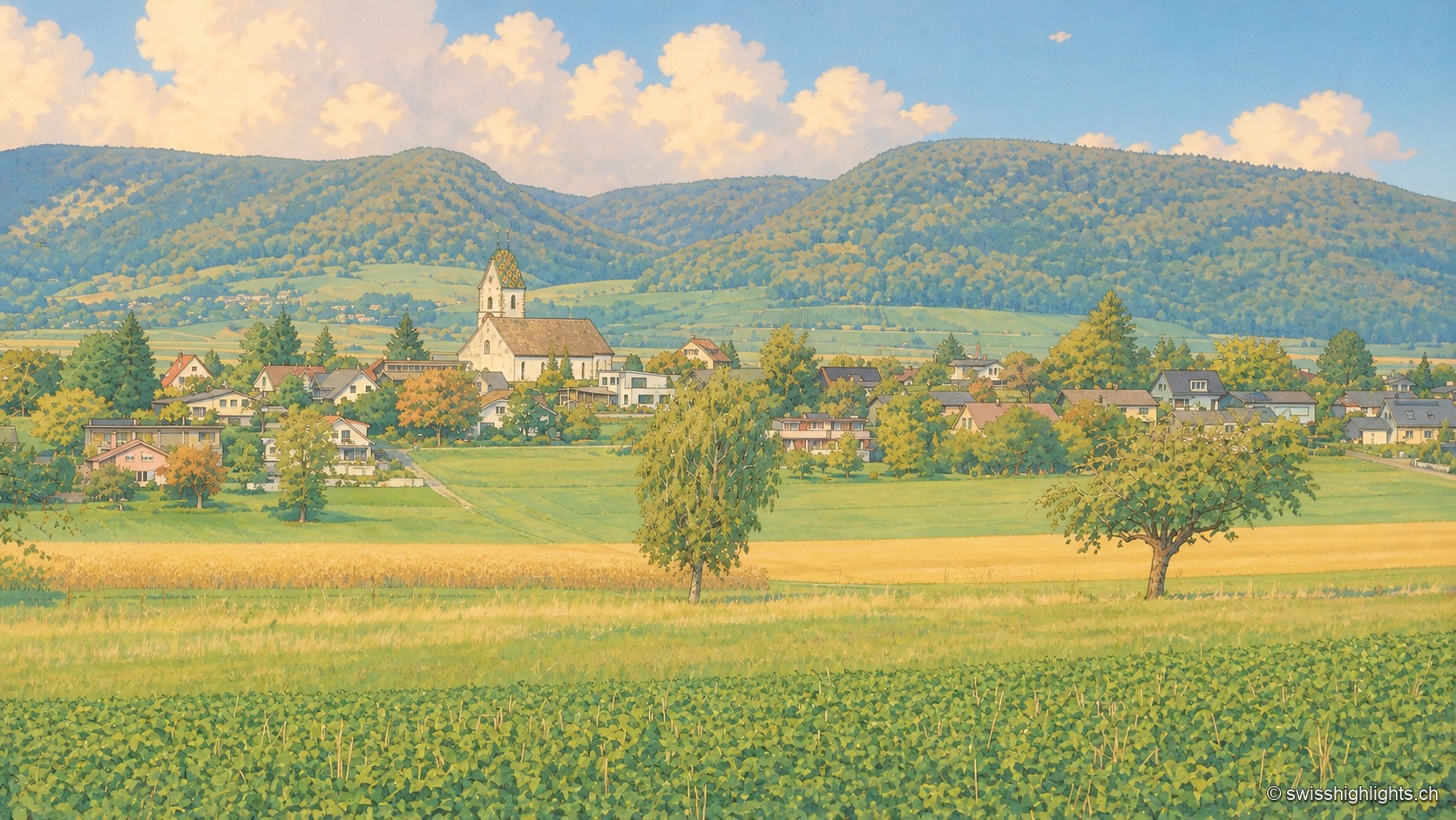
Planned small town · Schaffhausen · 13 km as the crow flies
Neunkirch
Destroyed and then rebuilt in one go, it has kept its rectangle of four parallel streets. Long held by the bishops of Constance, it was sold to Schaffhausen in 1525 for 8,500 guilders.
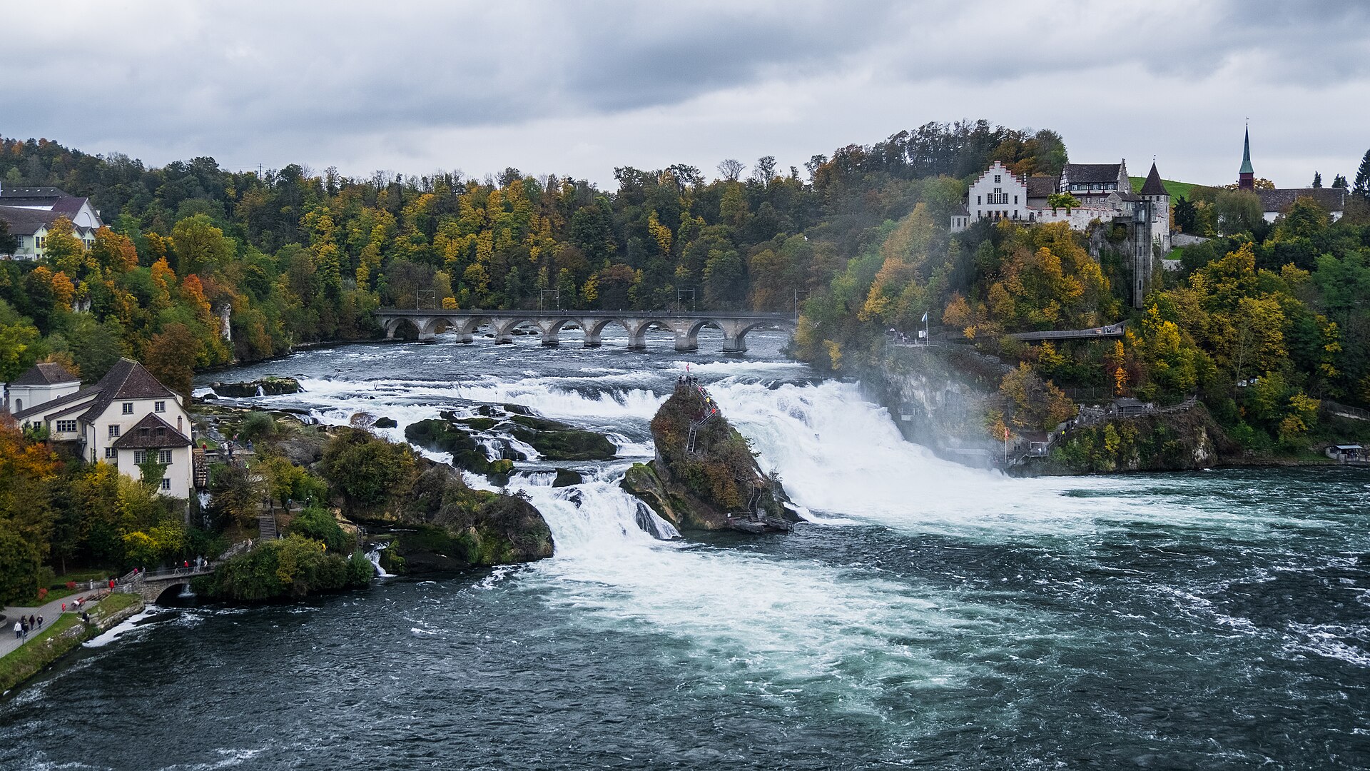
Waterfall · Schaffhausen · 13 km as the crow flies
Rhine Falls
A sheet of water 150 metres wide falls 23 metres over a sill of Malm limestone. As a summer average, the flow is close to 600 cubic metres per second.