Waterfall · Schaffhausen
Rhine Falls
Across 150 metres, the Rhine drops over a limestone sill 23 metres high, between Schaffhausen and Zurich.
The Rhine widens, meets a bank of Malm limestone and tips over it: a 23-metre drop across 150 metres of width, at 369 metres above sea level. In midstream a single rock still resists the erosion; a stairway leads to its top, and the Swiss flag flying there marks it from a distance. The right bank belongs to Neuhausen am Rheinfall, in the canton of Schaffhausen, the left bank to the canton of Zurich. Two castles frame the sill: Laufen above the falls, Wörth below.
Discharge is what makes the difference here, and it varies widely through the year: about 600 cubic metres per second as a summer average, with a recorded minimum of 95 cubic metres per second in 1921 and a maximum of around 1,250 cubic metres per second in 1965 — a figure other sources put at 1,260. The annual mean is itself disputed: 373 cubic metres per second according to hydrological records, close to double that in other publications.
Why this place is remarkable
The scale is read in the flow rather than in the height: only 23 metres, but a sheet 150 metres wide and, in summer, some 600 cubic metres per second. The official site presents it as Europe's largest waterfall without stating the criterion; the measure that best supports that ranking is discharge, for which the Rhine Falls are given as the most powerful on the continent.
History and origin
The sill is young in geological terms: it formed some 14,000 to 17,000 years ago, at the end of the Würm glaciation, where the river meets a Malm limestone harder than the neighbouring rock. It is this contrast in hardness that fixes the fall at this precise point and that has left the central rock standing in midstream.
What to do and see
- Observe the central rock, isolated in the middle of the current and topped by a Swiss flag visible from afar, reached by a staircase.
- Compare the right bank, at Neuhausen am Rheinfall in the canton of Schaffhausen, with the left bank, on the Zurich side.
- Spot the two castles that flank the falls, Laufen above them and Wörth below.
- Gauge the scale of the flow, up to 600 m³/s in average summer conditions, rather than the height of the fall, only 23 metres.
Coming with family: what to know
- The site combines a central rock reached by stairs and viewpoints on both banks, to be chosen according to the comfort of the youngest visitors.
As a couple
- Observe the 150-metre-wide sheet of water from both banks, Swiss and Zurich, each flanked by a castle.
- Choose a moment when the flow is strongest, up to 1,250 m³/s recorded in 1965, for the power of the spectacle.
- Climb the central rock via its staircase for a close-up view of the Malm limestone sill.
Location
Loads an interactive Google Maps view on demand, from the place's verified coordinates.
The embedded map will be enabled once an authorized Google Maps key is configured. Use the link above in the meantime.
The map could not load. Check your connection or use the link above to open the place in Google Maps.
Related places

Planned small town · Schaffhausen · 9 km as the crow flies
Neunkirch
Destroyed and then rebuilt in one go, it has kept its rectangle of four parallel streets. Long held by the bishops of Constance, it was sold to Schaffhausen in 1525 for 8,500 guilders.
Rhine town · Thurgau · 10 km as the crow flies
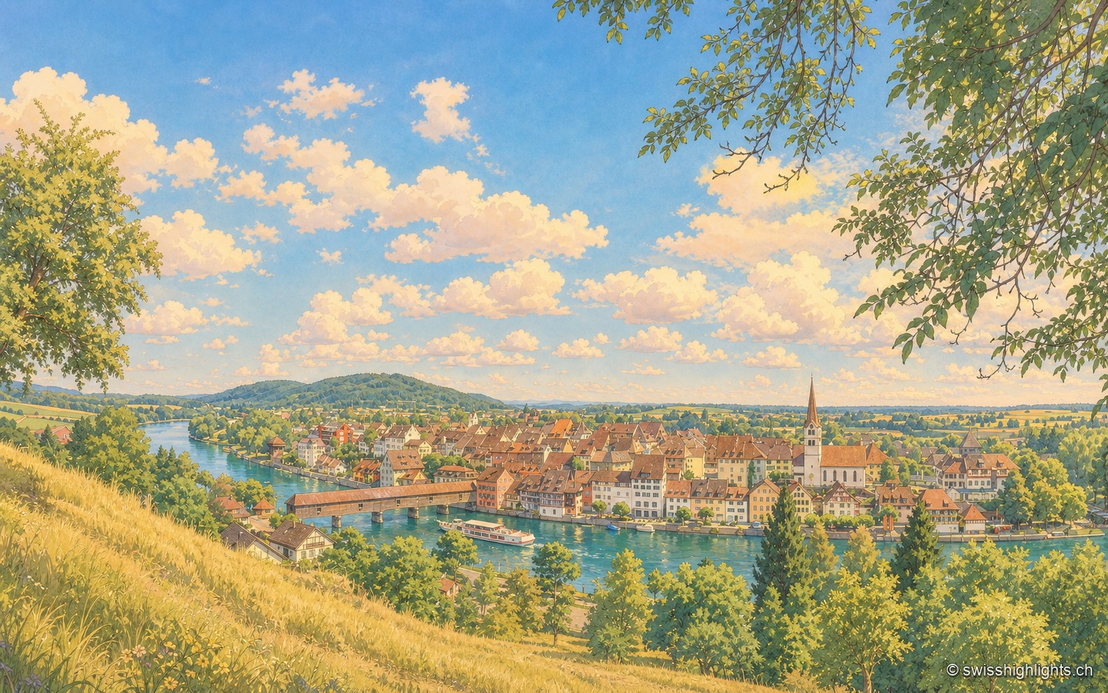
Diessenhofen
Raised to town status in 1178 by the counts of Kyburg, Diessenhofen has kept its medieval street plan, its Seal Tower with a zodiac dial, and its covered wooden bridge across the Rhine into Germany.
Weinland town · Zurich · 10 km as the crow flies
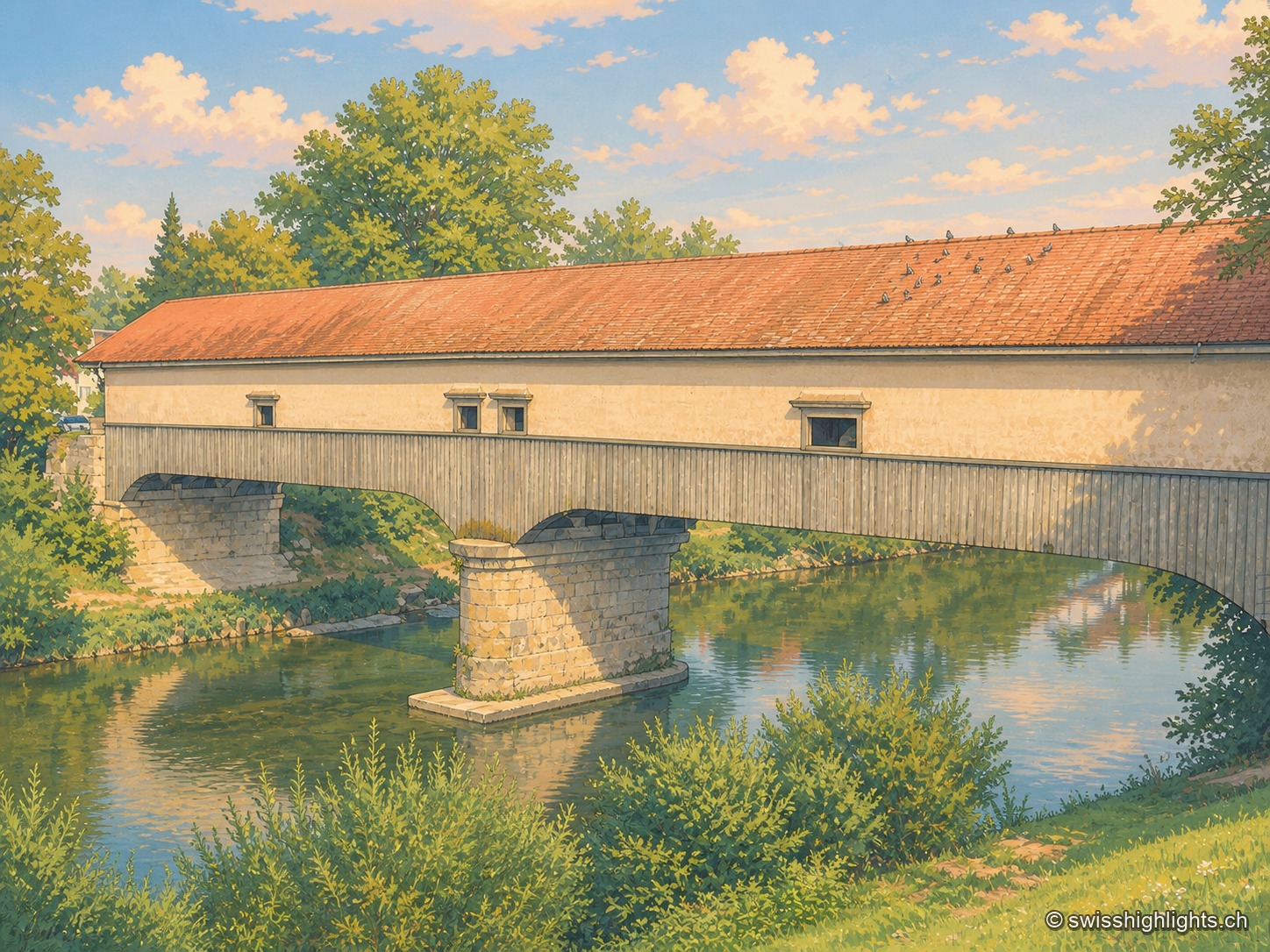
Andelfingen
Recorded in 1248, Andelfingen commanded one of the few crossings of the Thur: a toll, a bridge already widened in 1324, destroyed in 1799 and rebuilt in wood in 1814-1815. The town keeps a castle of 1780-1782 and a chancellery of 1697.