Village · Appenzell Innerrhoden
Appenzell
The capital of Appenzell Innerrhoden, on the Sitter, known for its painted facades and its Landsgemeinde square.
Appenzell is the capital of the canton of Appenzell Innerrhoden, set on the Sitter at the foot of the Appenzell Prealps, at 778 metres. The village is shared between two districts — a trace of a canton whose administrative divisions do not match the built-up area. It counted 5,778 inhabitants on 31 December 2019: it does not meet the statistical criteria for a town, but it sits on the Union of Swiss Cities, which earns it the title.
What you see first are the facades. The houses along the main street are painted from base to gable: panels of flowers on a pale ground, scrollwork, coats of arms, painted scales along the roof verges, wrought-iron signs jutting overhead. Paint serves here as public ornament, on a scale and with a care reserved elsewhere for official buildings.
The major buildings date largely from the centuries after independence. The town hall, raised from 1561 to 1563, carries frescoes on its facade that run through episodes of Appenzell history; the Chapel of the Holy Cross is of the same year, 1561, and the Capuchin convent of Saint Mary of the Angels, next to the castle, was built from 1679 to 1682. On the square the Landsgemeinde is held, the assembly where citizens vote by show of hands; until 1991 only men were admitted.
Why this place is remarkable
Appenzell owes its singularity to an inverted scale: a village of 5,778 people carries out the functions of a capital, with its chancellery, its sixteenth-century town hall and a square where the citizens' assembly still votes by show of hands. That standing shows on the houses, painted with a care reserved elsewhere for public buildings. Nothing here is monumental and everything is official.
History and origin
The name appears in 1071 as Abbacella — the cell, that is the residence, of the abbot of St Gallen, who held an estate here. Monastic tutelage lasted: the communes of the country united in 1378, the Appenzell wars of independence filled the early fifteenth century, and only in 1411 did the abbey renounce all its claims. The built heritage visible today dates from the centuries that followed.
What to do and see
- Follow the main street and study the painted facades from base to gable — flower panels, scrollwork, coats of arms, wrought-iron signs.
- Observe the frescoes of the town hall, built from 1561 to 1563, which unfold episodes from Appenzell history.
- Go to the Landsgemeinde square, where citizens still vote by a show of hands.
- Visit the Chapel of the Holy Cross and the Capuchin convent of Sainte-Marie-des-Anges, both from the 17th century.
Coming with family: what to know
- The painted main street can be walked freely on foot, a simple outing at child's-eye level to spot the motifs on the facades.
As a couple
- Wander along the painted main street, pausing over the details of each facade.
- Share a moment on the Landsgemeinde square, the symbolic heart of the canton.
- Admire the town hall's 16th-century frescoes in the late afternoon.
Location
Loads an interactive Google Maps view on demand, from the place's verified coordinates.
The embedded map will be enabled once an authorized Google Maps key is configured. Use the link above in the meantime.
The map could not load. Check your connection or use the link above to open the place in Google Maps.
Related places
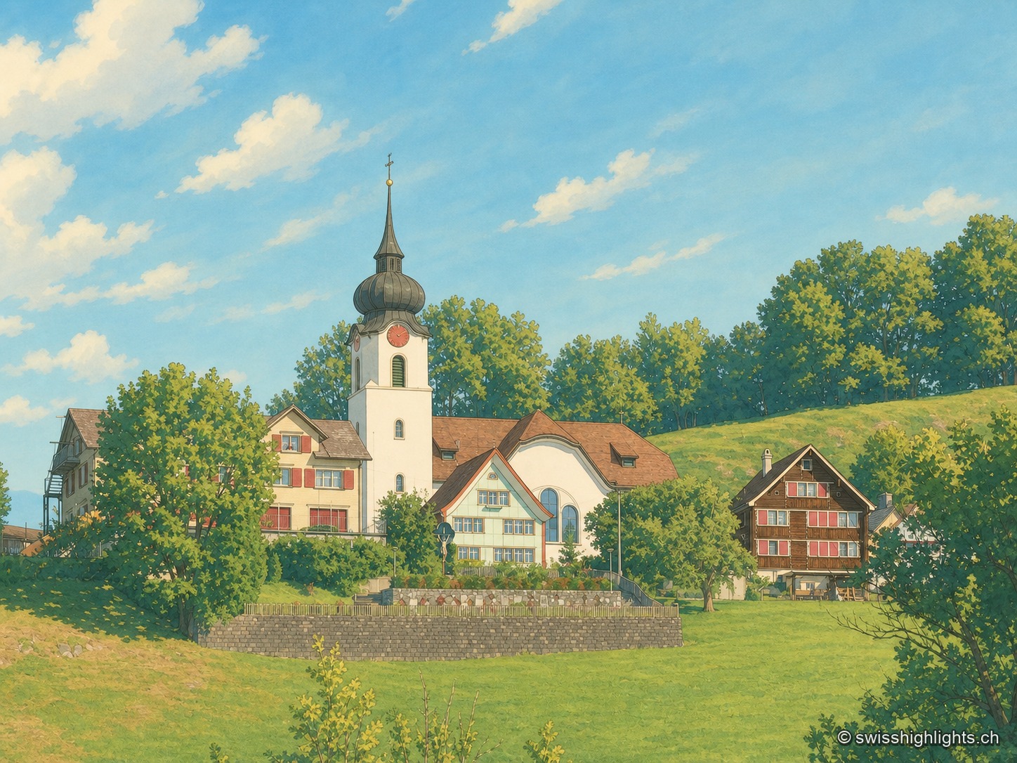
Ridge village · Appenzell · 3 km as the crow flies
Schlatt AI
The name is written around 1200, as Slatte, for a pasture on a slope. The road to Appenzell came only in 1898, and the church was consecrated on 12 June 1912. The site is listed in the ISOS inventory under number 0391.
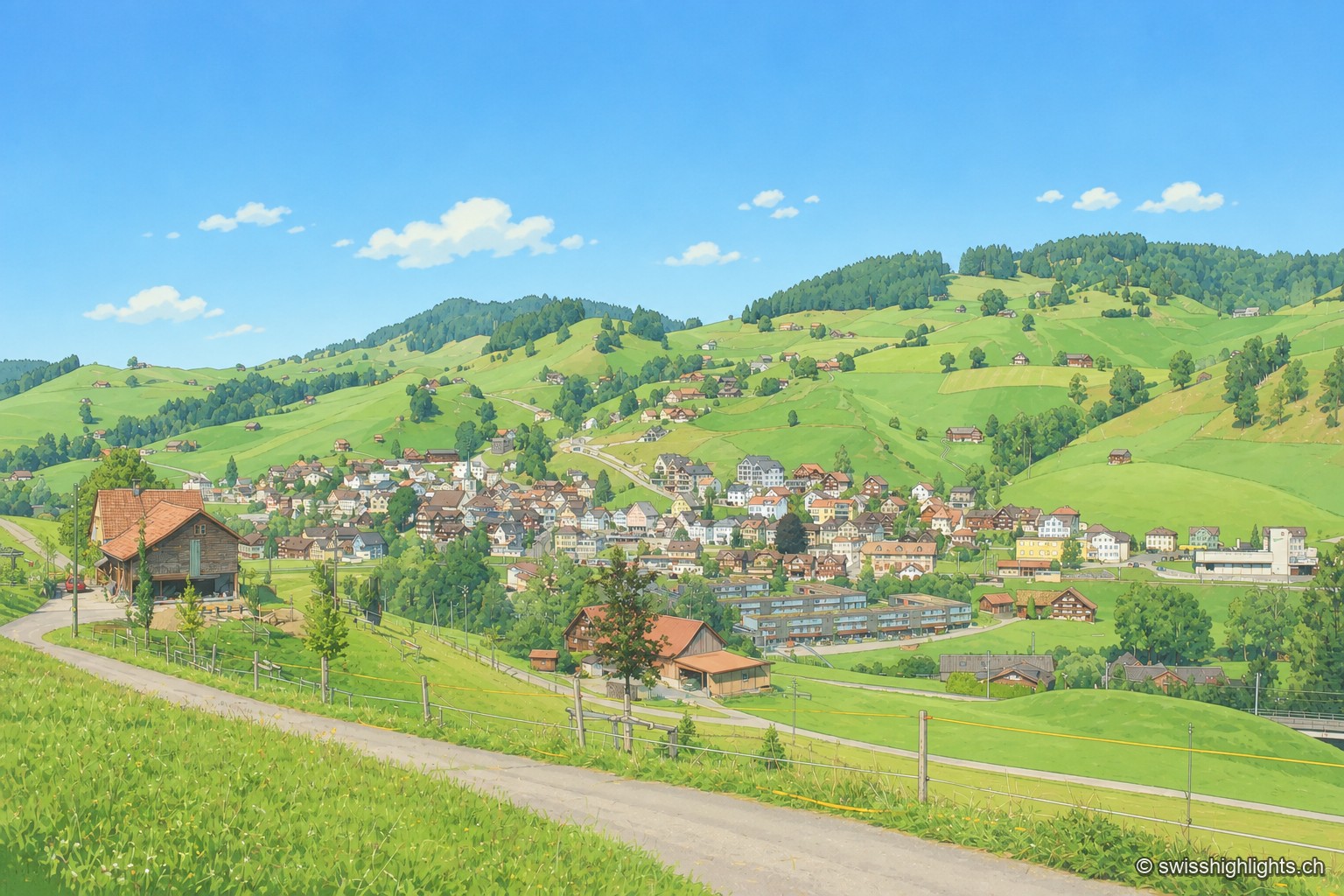
Appenzell village · Ausserrhoden · 9 km as the crow flies
Urnäsch
First recorded in 831, Urnäsch became an autonomous parish in 1417, then, after the 1597 cantonal split, the first of the six Rhoden of Appenzell Ausserrhoden. Weaving, then embroidery, supported generations here.
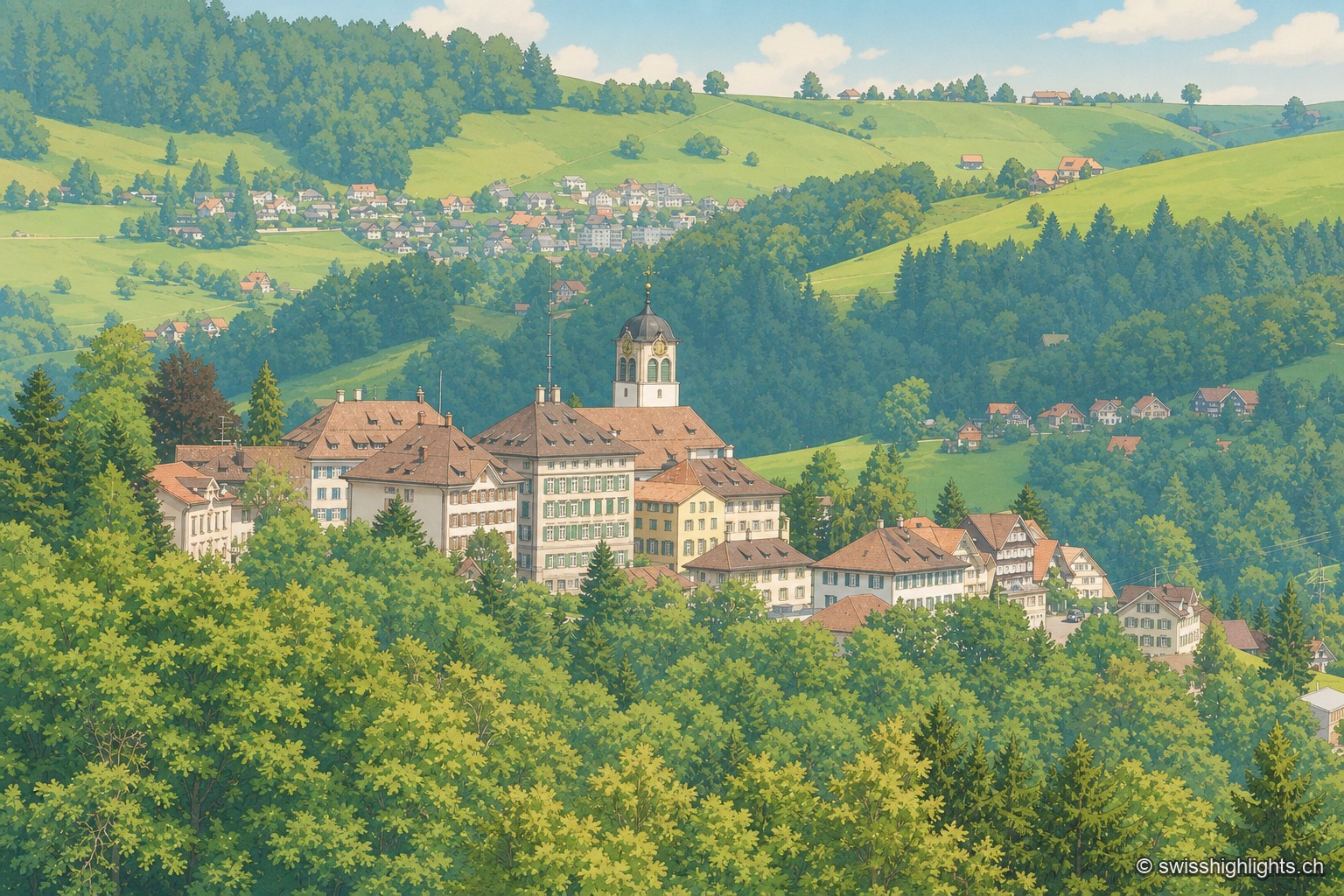
Village · Appenzell Ausserrhoden · 10 km as the crow flies
Trogen
Trogen became the capital of Appenzell Ausserrhoden in 1597 and lines its square with the Zellweger family's palaces, built between 1747 and 1809 from the textile trade. The Landsgemeinde met here until it was abolished in 1997.