Appenzell village · Ausserrhoden
Urnäsch
The largest municipality of Appenzell Ausserrhoden by area, first of the canton's six Rhoden, where the Silvesterkläuse mask tradition is still alive.
Urnäsch covers 48.31 km², making it the largest municipality in the canton of Appenzell Ausserrhoden. Built on the left bank of the river of the same name, it also includes the localities of Grünau and Schönau and had 2,373 inhabitants on 31 December 2024, for a density of 49 people per km². The village centre and the Tal quarter, which grew from the 18th century along the road linking Waldstatt to the Schwägalp, eventually merged into a single settlement.
The place first appears in 831 under the name of the hamlet of Färchen; the river itself is recorded under the name Urnasca in the 9th century. Urnäsch first belonged, together with Hérisau, to the abbey lordship of St Gallen, then in the 14th century became a Rhode of the Hundwil bailiwick, under the imperial reeveship of St Gallen — communal autonomy is attested there from that period. Received as a 'small country' into the Swabian League of Towns in 1377, it allied with the city of St Gallen in 1401; lacking a seal of its own, it borrowed Hundwil's, and alongside Hundwil it played a central role in the Appenzell Wars (1401-1429). Until then part of the parish of Hérisau, residents had their own church, St Anthony, built in 1414, and gained parish and political autonomy in 1417.
Following the division of the common alps in 1480, Urnäsch set its borders with Hundwil. The cantonal split of 1597 made it the first of the six Rhoden of Appenzell Ausserrhoden, where the cantonal Small Council regularly met. An economy long dominated by alpine farming, livestock and timber — nine sawmills in 1826, before the remaining forests were declared protective forests in 1901 — then turned to textiles: 672 weavers in 1826, followed by a boom in embroidery in the last third of the 19th century that gave rise to several factories. This industry remained the area's main resource after 1945 and only partly collapsed in the 1980s.
Why this place is remarkable
Urnäsch's name is still tied to the Silvesterkläuse, the costumed figures who parade through the village for New Year's Eve — a rural tradition documented since 1976 by the local museum of folk art and customs. It belongs to a wider story: a municipality that became an autonomous parish around its church in 1417, then the first of the six Rhoden of Appenzell Ausserrhoden after the 1597 cantonal split — and whose economy shifted from timber to embroidery without ever giving up alpine farming.
History and origin
Urnäsch's history reads through its dates: the hamlet of Färchen recorded in 831, the church of St Anthony built in 1414, parish and political autonomy gained in 1417, then the rank of first Rhode of Appenzell Ausserrhoden won in 1597. Timber, exported until around 1900 despite forest-protection rules dating from 1533, then gave way to weaving — 672 weavers in 1826 — and to embroidery, the driver of the local economy into the last third of the 20th century.
What to do and see
- Visit the local folk arts and traditions museum, which has documented the Silvesterkläusen tradition since 1976.
- See the Church of St Anthony, built in 1414, which gave Urnäsch its parish independence in 1417.
- Place the village as the first of the six 'rhodes' of Appenzell Ausserrhoden, a rank it gained in 1597.
- Spot the traces of the former textile economy: 672 weavers recorded in 1826, before the rise of embroidery.
Coming with family: what to know
- The village spreads over the canton's largest municipality by area (48.31 km²), with the Tal hamlet developed along the road to the Schwägalp.
As a couple
- Walk between the village centre and the Tal district, joined together since the 18th century.
- Stop before the Church of St Anthony of 1414, heart of the communal independence gained in 1417.
- Take time at the folk traditions museum, devoted to the New Year's Eve masks.
Location
Loads an interactive Google Maps view on demand, from the place's verified coordinates.
The embedded map will be enabled once an authorized Google Maps key is configured. Use the link above in the meantime.
The map could not load. Check your connection or use the link above to open the place in Google Maps.
Related places
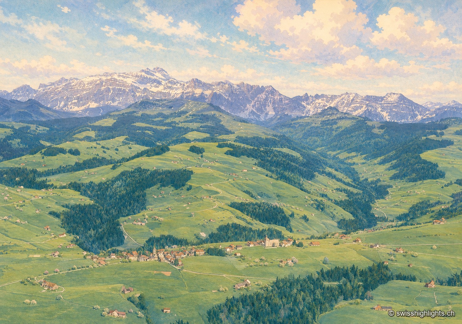
Mountain village · St Gallen · 9 km as the crow flies
Hemberg
Made a parity village in 1526, Hemberg had Catholics and Protestants worship in the same building for two and a half centuries, until the two churches of 1779 and 1782. The place ranges from 709 to 1,139 metres.
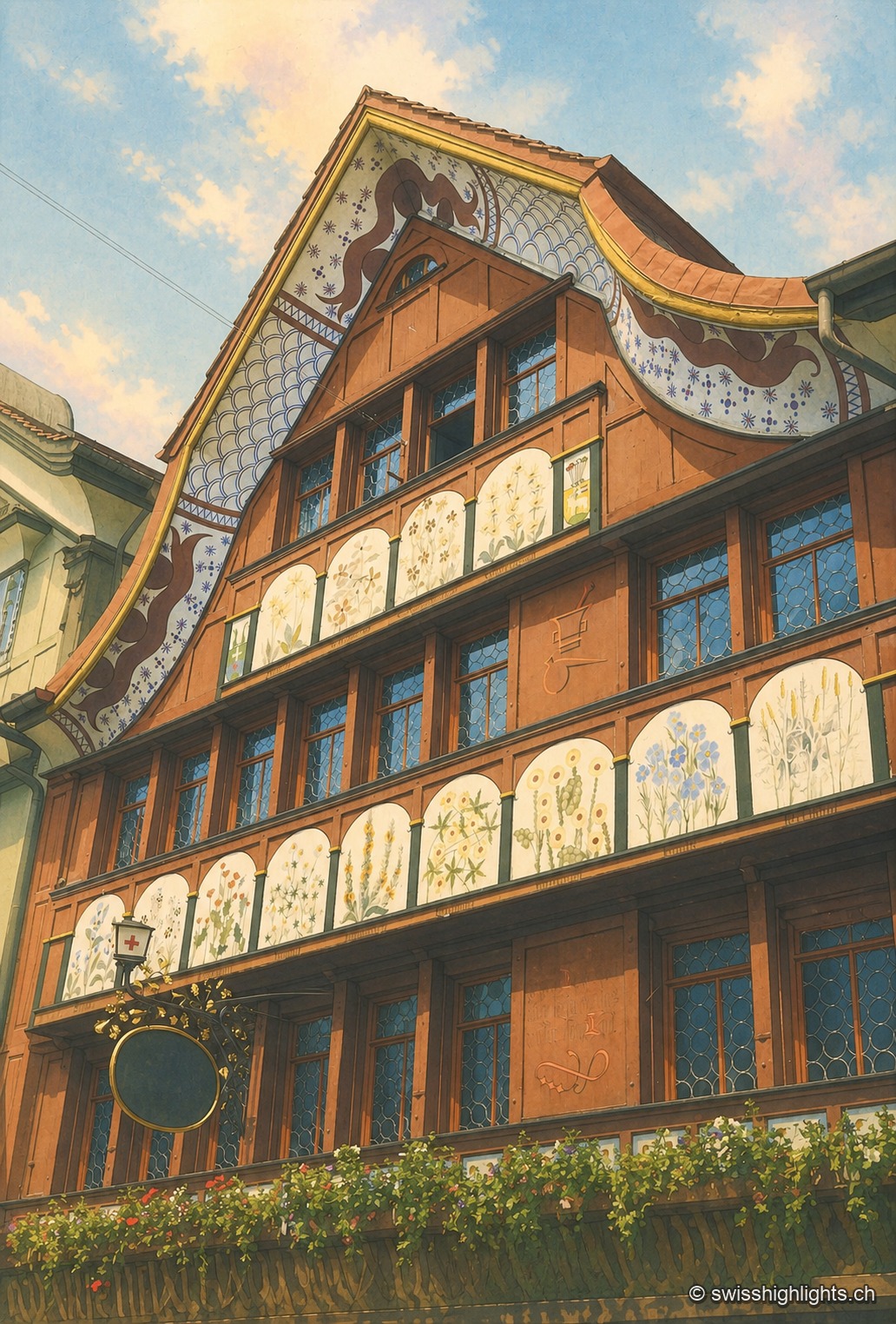
Village · Appenzell Innerrhoden · 9 km as the crow flies
Appenzell
A township of 5,778 inhabitants at the foot of the Appenzell Prealps, whose name, recorded in 1071, means the abbot's cell. On its square, citizens still vote by show of hands.
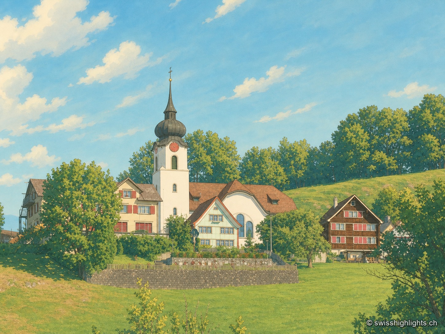
Ridge village · Appenzell · 9 km as the crow flies
Schlatt AI
The name is written around 1200, as Slatte, for a pasture on a slope. The road to Appenzell came only in 1898, and the church was consecrated on 12 June 1912. The site is listed in the ISOS inventory under number 0391.