Ridge village · Appenzell
Schlatt AI
On a ridge north of Appenzell, at 921 metres, a village whose church, consecrated in 1912, keeps a rococo pulpit of 1760.
Schlatt holds a ridge north of Appenzell, at 921 metres, within the commune of Schlatt-Haslen. The name is first written around 1200, as Slatte, and then meant a pasture on a hillside: the slope has remained the subject of the place — the meadows fall away on either side of the crest line, and the white church, onion dome and clock face, holds the top of the bank above the road. The site is listed in the ISOS inventory of Swiss built sites worth protecting, under number 0391.
The administrative history comes before the building: the Rhode of Schlatt, one of the Appenzell districts, took shape between 1204 and 1220; in 1850 that Rhode counted 1294 inhabitants. A chapel dedicated to Saint Joseph was built around 1722 on the site of an older oratory. The present church, by the architect August Hardegger, was consecrated on 12 June 1912; it holds an organ of eleven stops built in 1920 by the Kuhn firm and a rococo pulpit dated 1760, a century and a half older than the walls around it.
The road link with Appenzell was established only in 1898; in 1970 Schlatt was attached to the parish of Appenzell. The village has been gaining inhabitants since the 2000s.
Why this place is remarkable
Schlatt reads first as a name: Slatte, written around 1200, meant the sloping pasture on which the village settled, and that slope is still what one sees on arriving. What the place keeps is dated and checkable — a rococo pulpit of 1760 in a church consecrated on 12 June 1912, an organ of eleven stops from 1920 — and the road tying it to Appenzell dates only from 1898: close to seven centuries separate the first mention from the first road.
History and origin
The name appears around 1200 as Slatte, meaning a pasture on a slope. The Rhode of Schlatt took form between 1204 and 1220; it counted 1294 inhabitants in 1850. A chapel of Saint Joseph was raised around 1722 on the site of an earlier oratory, and the present church, by August Hardegger, was consecrated on 12 June 1912. In 1970 the place joined the parish of Appenzell.
What to do and see
- Observe the white church with an onion-domed bell tower, consecrated on 12 June 1912, standing at the top of the slope above the road.
- Look inside for the rococo pulpit of 1760, one and a half centuries older than the walls around it.
- Follow the ridgeline where the meadows fall away on both sides of the village.
Coming with family: what to know
- The village is visited on foot along the ridge and the road, between sloping meadows.
As a couple
- Look inside the church for the eleven-stop organ built in 1920 by the Kuhn firm.
- Walk along the ridge to enjoy the slope that falls away on both sides of the village.
- Recall that the road linking Schlatt to Appenzell only dates from 1898, nearly seven centuries after the place's first mention around 1200.
Location
Loads an interactive Google Maps view on demand, from the place's verified coordinates.
The embedded map will be enabled once an authorized Google Maps key is configured. Use the link above in the meantime.
The map could not load. Check your connection or use the link above to open the place in Google Maps.
Related places
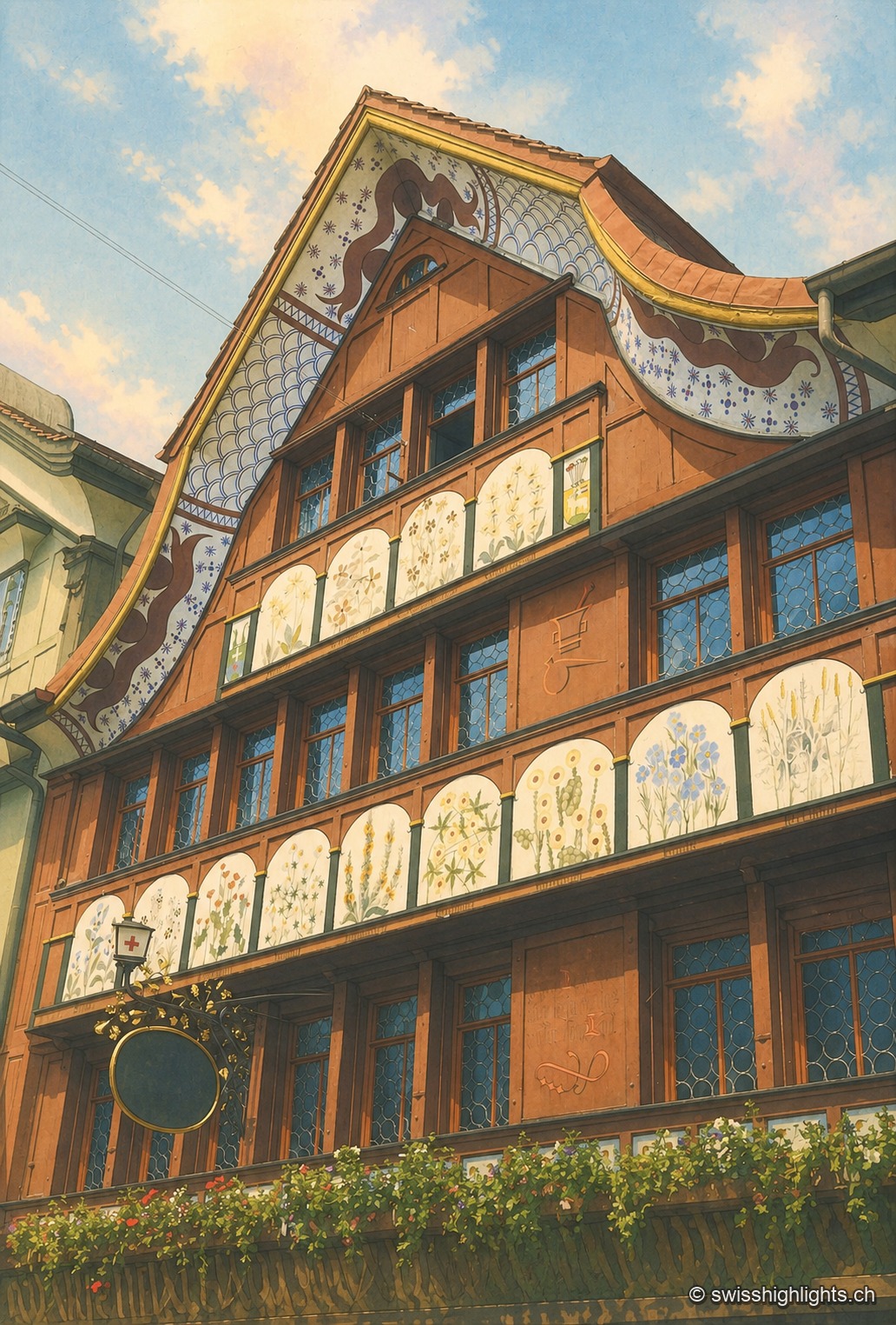
Village · Appenzell Innerrhoden · 3 km as the crow flies
Appenzell
A township of 5,778 inhabitants at the foot of the Appenzell Prealps, whose name, recorded in 1071, means the abbot's cell. On its square, citizens still vote by show of hands.
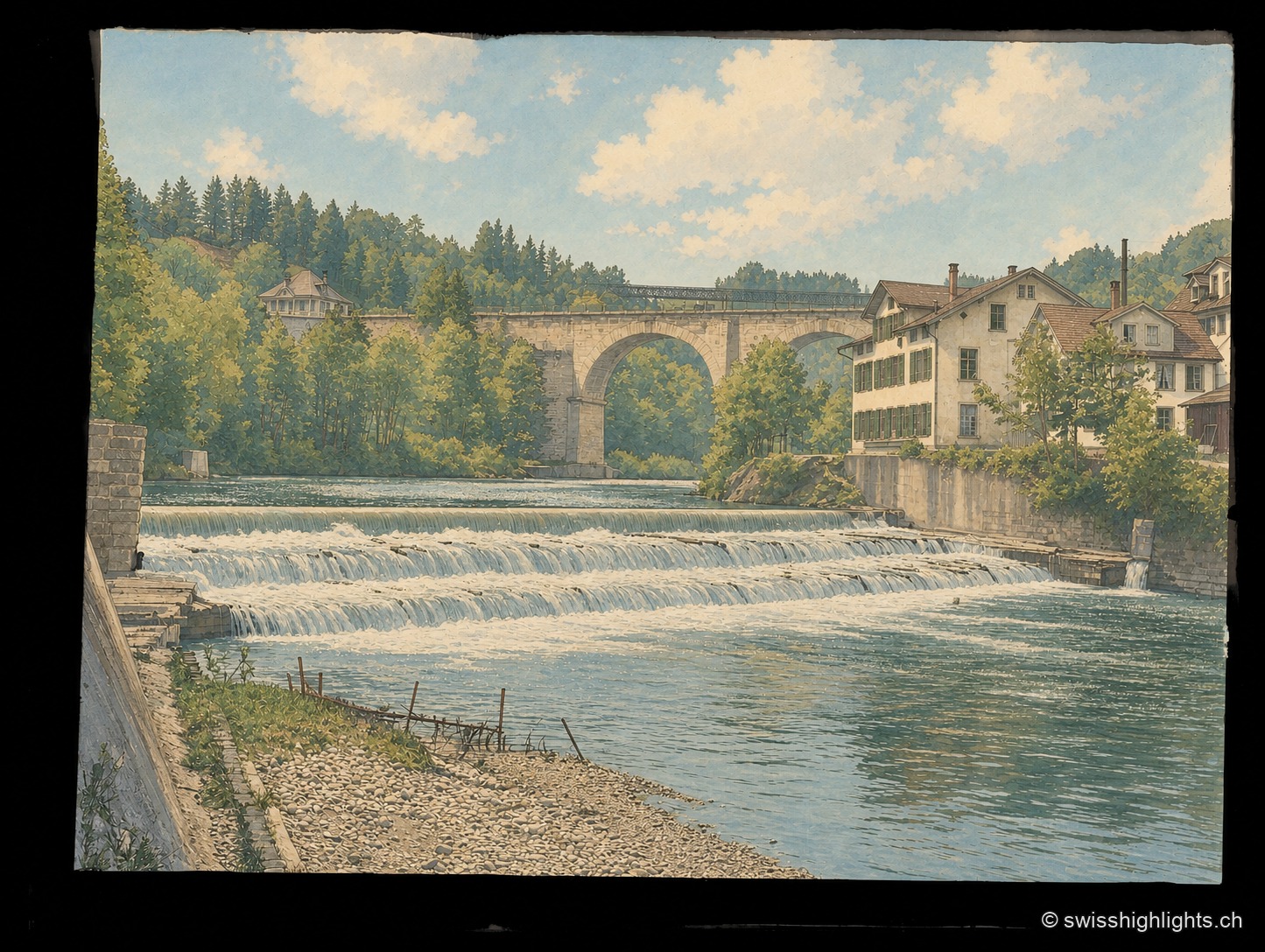
Heritage landscape · St. Gallen · 7 km as the crow flies
Bridges of Bruggen and the Sitter Valley
Around Bruggen, at the gates of St. Gallen, an 8.2 km path links eighteen 18th-20th century bridges: timber from 1780, stone from 1811, a 100-metre railway viaduct opened in 1910, through the wooded gorges of the Sitter.
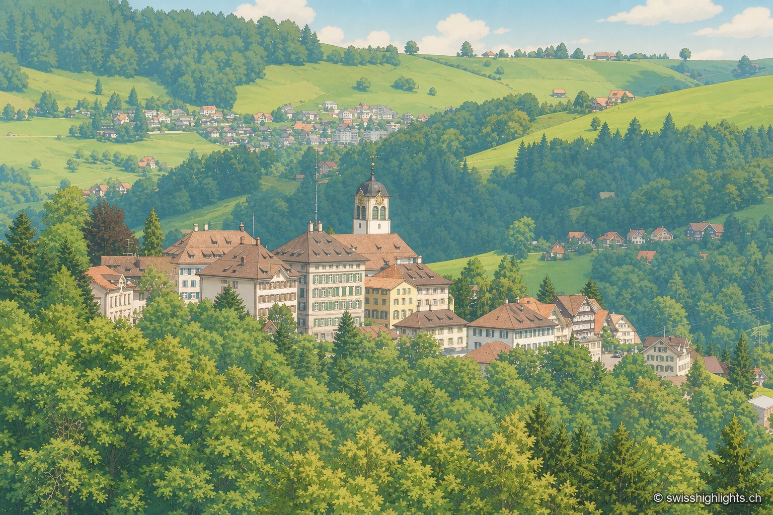
Village · Appenzell Ausserrhoden · 8 km as the crow flies
Trogen
Trogen became the capital of Appenzell Ausserrhoden in 1597 and lines its square with the Zellweger family's palaces, built between 1747 and 1809 from the textile trade. The Landsgemeinde met here until it was abolished in 1997.