Graubünden · Albula Valley
Bergün/Bravuogn
A single-street village in the Albula Valley, at 1,367 metres, left intact by a tourist boom that never came.
Bergün stretches along a single climbing street, edged with Engadine houses of the 16th to 18th centuries whose façades carry sgraffito decoration. At the lower end of the village, the Tuor, a square 13th-century tower, now houses the communal archives.
The church dates from 1188 and keeps a Romanesque core; painted decoration from around 1500 unfolds the Passion across its walls. The Kurhaus, built in 1905-1906, announced a resort that never came.
Why this place is remarkable
The tourist boom hoped for after the Albula line entered service in 1903 never came. No hotel other than the Kurhaus was built, and the village kept the shape it had before.
History and origin
Recorded in 1209 as Bregonio, the place has officially carried both its names, German and Romansh, since 1943. Romansh was spoken by 80.4% of inhabitants in 1880 and by 10.6% in 2000; German is now the sole official language. On 1 January 2018 Bergün and Filisur came together under the name Bergün Filisur.
What to do and see
- Walk up the village's single street, lined with Engadine houses from the 16th to the 18th centuries decorated with sgraffiti.
- See the Tuor, a 13th-century square tower at the bottom of the village, now the communal archives.
- Enter the 1188 church for its Romanesque core and the painted decoration from around 1500 dedicated to the Passion.
- Spot the 1905-1906 Kurhaus, the sole witness to a resort that never came to be.
Coming with family: what to know
- The sloping street village, kept intact for lack of tourist development, is easily walked from top to bottom on foot.
As a couple
- Walk up together the sloping street lined with sgraffito facades.
- Stop at the Romanesque church of 1188 and its painted decoration from the 16th century.
- Picture, in front of the 1905-1906 Kurhaus, the resort that never developed.
Location
Loads an interactive Google Maps view on demand, from the place's verified coordinates.
The embedded map will be enabled once an authorized Google Maps key is configured. Use the link above in the meantime.
The map could not load. Check your connection or use the link above to open the place in Google Maps.
Related places
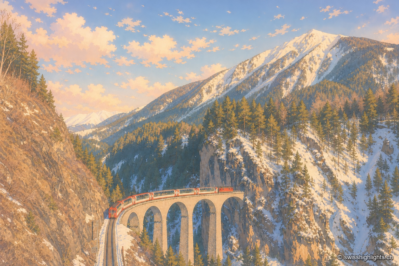
Railway line · Valais–Graubünden · 4 km as the crow flies
Glacier Express
The train crosses 291 bridges and 91 tunnels over 291 kilometres of metre-gauge track, climbs to the Oberalp Pass at 2,033 metres and drops again to Chur, at 585 metres, its lowest point.
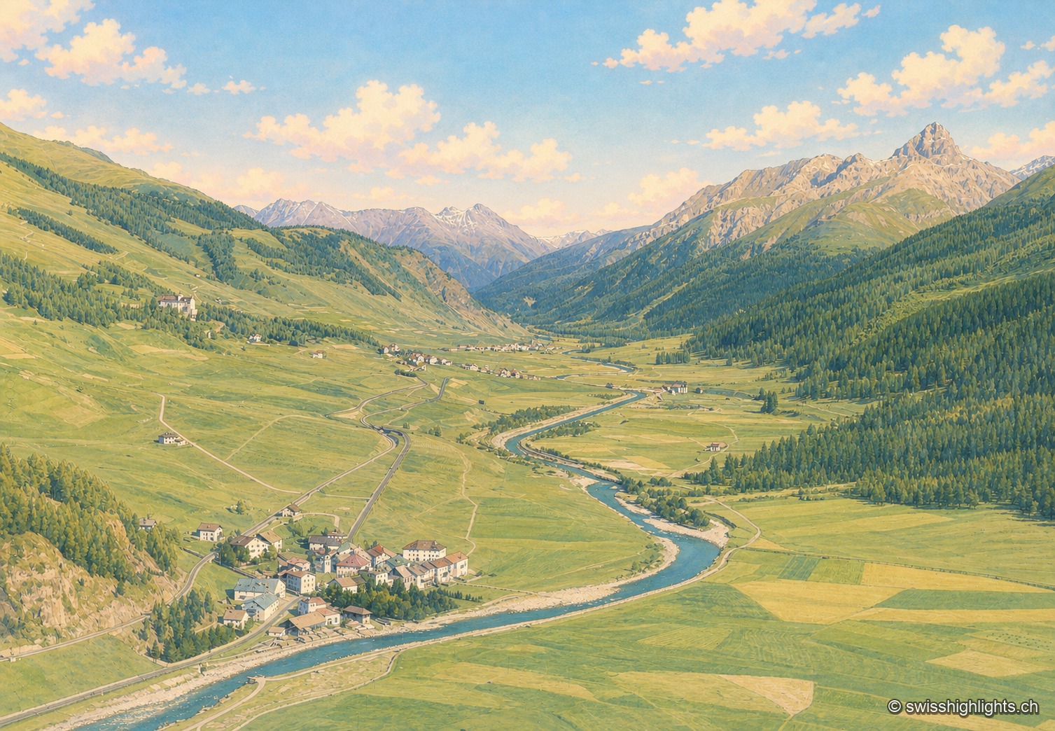
Village · Upper Engadine, Grisons · 15 km as the crow flies
Madulain
First recorded in 1137-1139 as Madulene, the village is overlooked by the ruins of Guardaval Castle, built in 1251 for the Bishop of Chur. Madulain joined the Les Plus Beaux Villages de Suisse association in 2018.
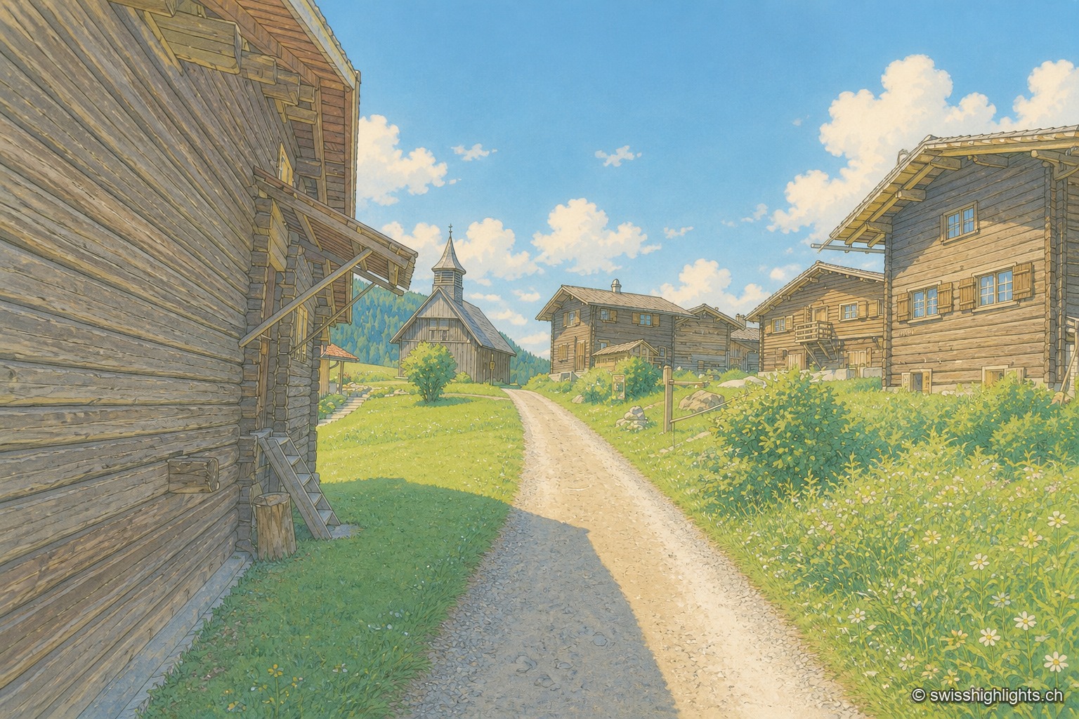
Walser hamlet · Grisons · 21 km as the crow flies
Obermutten
Part of Thusis since 2017, Obermutten sits at 1,864 metres on the slope of the Muttnerhorn. A fire destroyed seventeen houses there in 1946; the hamlet later gained unexpected social-media fame in 2011.