Walser hamlet · Grisons
Obermutten
A Walser hamlet of some thirty timber houses, reachable by a switchback road from the Schin Gorge, between the Hinterrhein and the Albula.
Obermutten, a German-speaking hamlet of some thirty timber houses, has formed a district of the municipality of Thusis, in Grisons, since 2017; before that it belonged to the municipality of Mutten. It sits on the north slope of the Muttnerhorn, at 1,864 metres, on the saddle separating the Hinterrhein from the Albula. It can only be reached by car from the Schin Gorge: a narrow road, unpaved in its upper section, branches off near the Solis Viaduct and climbs in numerous switchbacks over an elevation gain of about 1,000 metres. The lower-lying hamlet of Stafel, at 1,750 metres, is administratively part of it; in winter a ski lift connects the two.
Like Mutten, Obermutten is a German-speaking Walser settlement enclosed among Romansh-speaking municipalities; one hypothesis holds that it was founded in the 14th century by the lords of Vaz to hold the narrow passage between their possessions in Schams and the Albula valley. Some of the original farmhouses have been converted into holiday homes; a hotel-restaurant now provides lodging and meals on site.
On 18 September 2012, a segment on the channel Galileo covering a Facebook campaign launched in 2011 — the promise to pin the photo of every person who liked the page to the village noticeboard — pushed the number of 'fans' up to 45,000 within days, giving the hamlet a worldwide fame out of all proportion to its size.
Obermutten's reformed church, a timber building protected as a historic monument, is a stop on the Walser Trail of Grisons; the hamlet is listed in the federal inventory of built sites worthy of protection. In 1946 a fire destroyed seventeen timber houses and barns, rebuilt with donated funds.
Why this place is remarkable
Few Grisons hamlets hold together in so tight a space: some thirty timber houses on the slope of the Muttnerhorn, reachable only by a switchback road from the Schin Gorge with an elevation gain of about 1,000 metres. A German-speaking Walser settlement enclosed in Romansh territory, Obermutten gained in 2011-2012 a fame quite out of proportion to its size through a Facebook campaign picked up by television, which pushed the number of 'fans' to 45,000.
History and origin
The hamlet, which one hypothesis holds was founded by the lords of Vaz in the 14th century to hold the passage between Schams and the Albula, belonged to the municipality of Mutten until it joined Thusis in 2017. A fire destroyed seventeen timber houses and barns there in 1946, rebuilt with donated funds. The timber reformed church, now protected as a historic monument, is a stop on the Walser Trail of Grisons, and the hamlet is listed in the federal inventory of built sites worthy of protection.
What to do and see
- Take the winding road that climbs from the Schinschlucht, near the Solis viaduct, over an elevation gain of about 1000 metres up to the hamlet.
- Observe the hamlet's Walser wooden houses, several of which were rebuilt after the 1946 fire that destroyed seventeen of them.
- Visit the wooden Reformed church, protected as a historic monument and a waypoint on the Graubünden Walser Trail.
- Note Obermutten's position on the saddle between the Hinterrhein and the Albula, a German-speaking Walser settlement enclosed within Romansh territory.
Coming with family: what to know
- Access is via a narrow road, unpaved in its upper section, with an elevation gain of about 1000 metres from the Schinschlucht: plan accordingly if driving with young children.
- In winter, a ski lift connects the hamlet to the neighbouring village of Stafel, lower on the slope.
As a couple
- Take time over the winding climb from the Schinschlucht before discovering the hamlet's roughly thirty wooden houses.
- Linger at the wooden Reformed church, a stop on the Graubünden Walser Trail.
- Tell each other about the curious 2011-2012 episode, when a Facebook campaign made this tiny hamlet famous far beyond its size.
Location
Loads an interactive Google Maps view on demand, from the place's verified coordinates.
The embedded map will be enabled once an authorized Google Maps key is configured. Use the link above in the meantime.
The map could not load. Check your connection or use the link above to open the place in Google Maps.
Related places
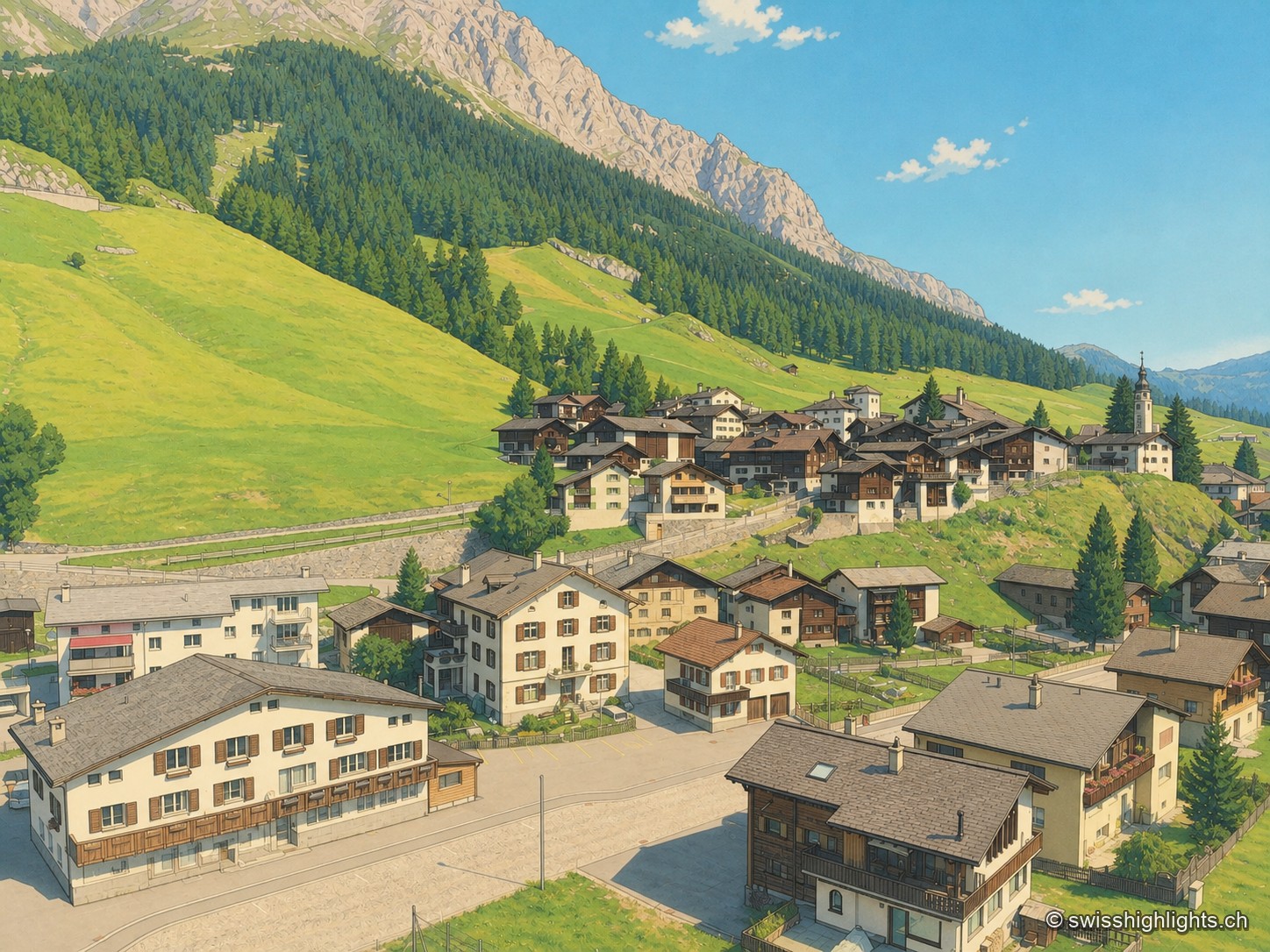
Grisons · Rheinwald · 19 km as the crow flies
Splügen
Splügen holds the floor of the Rheinwald, where the roads to the Splügen and San Bernardino passes part. Its tight-packed houses date from the rebuilding after the fire of 1716.
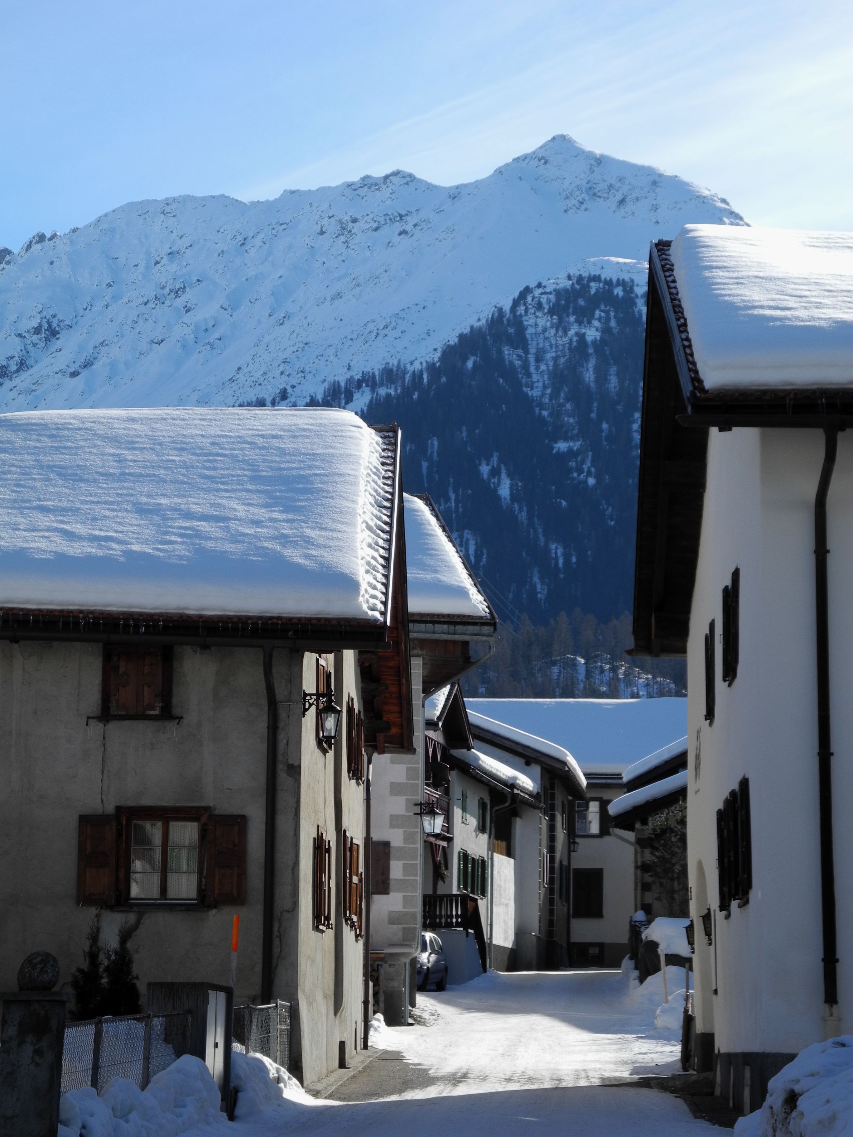
Graubünden · Albula Valley · 21 km as the crow flies
Bergün/Bravuogn
At 1,367 metres in the Albula Valley, Bergün lines its sgraffito-decorated Engadine houses along one climbing street. Its Romansh name, Bravuogn, has been official since 1943.
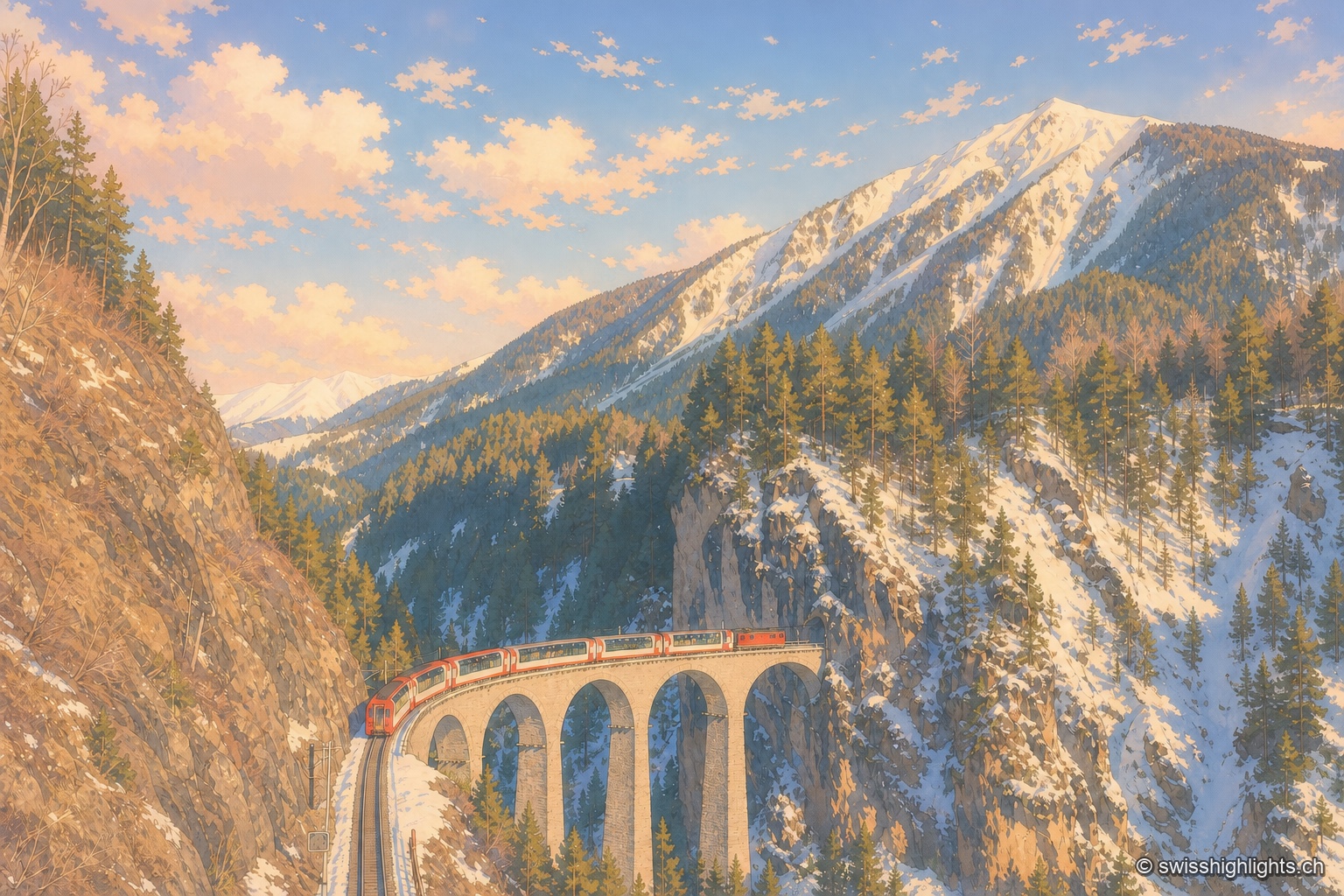
Railway line · Valais–Graubünden · 23 km as the crow flies
Glacier Express
The train crosses 291 bridges and 91 tunnels over 291 kilometres of metre-gauge track, climbs to the Oberalp Pass at 2,033 metres and drops again to Chur, at 585 metres, its lowest point.