Railway line · Valais–Graubünden
Glacier Express
Zermatt to St. Moritz on metre-gauge track: 291 kilometres, 291 bridges, 91 tunnels and a pass at 2,033 metres.
The Glacier Express links Zermatt to St. Moritz by way of Brig, Andermatt, Disentis and Chur. The run covers 291 kilometres, 291 bridges and 91 tunnels, and takes close to eight hours — the figures hesitate between seven and a half hours and eight. The line climbs to the Oberalp Pass at 2,033 metres, then falls back to Chur, at 585 metres, its lowest point. The whole route is metre gauge, and along 23.9 kilometres a rack takes over from adhesion, both to climb the ramps and to hold the train back on the way down.
The name comes from the Rhône glacier, which the track followed until 1981 as it climbed the Furka Pass. Since June 1982 a 15.35-kilometre base tunnel has run beneath the pass: the train now works all year round, but it no longer sees the glacier it is named after. The old summit line did not disappear; brought back into service section by section between 1992 and 2010, it now carries a heritage train.
Between Chur and the Engadine the train takes the Albula line: the tunnel beneath the pass at 1,815 metres, the spiral loops that absorb 400 metres of height over a single kilometre between Preda and Bergün, and the Landwasser viaduct, a curve of masonry set against the void before it runs straight into the rock face. This stretch belongs to the World Heritage property “Rhaetian Railway in the Albula / Bernina Landscapes”, inscribed on 7 July 2008. Three companies ran the train in its early years; since 2017 it has been operated by Glacier Express AG, jointly owned by the Rhaetian Railway and the Matterhorn-Gotthard Bahn.
Why this place is remarkable
The interest of the journey lies in a mismatch of vocabulary: the word express applied to a train that needs close to eight hours to cover 291 kilometres. Slowness is not a failing of the service, it is its substance — imposed by the 2,033 metres of the Oberalp Pass, by the drop to the 585 metres of Chur, by the 23.9 kilometres of rack. Metre gauge allows tight curves: instead of boring through the valleys, the line follows them, and carries you from one side of the Alps to the other without ever losing sight of the terrain.
History and origin
The first train left Zermatt on 25 June 1930 at 7.30 in the morning with 70 passengers and reached St. Moritz eleven hours later. For half a century the service ran only in summer, the Furka and Oberalp passes being under snow; the opening of the base tunnel in 1982 made it year-round. Numbers followed: 20,000 travellers in 1982, more than 53,000 in 1983, a little over 80,000 in 1984, more than 250,000 in 2005. Between 1986 and 1993, close to 40 million francs went into 18 new first-class panoramic carriages. On 23 July 2010 a set derailed through excessive speed: a Japanese passenger aged 64 was killed, 42 people were injured, and the accident was attributed to human error.
What to do and see
- Follow the route between Zermatt and St. Moritz, 291 kilometres, 291 bridges and 91 tunnels, crossing the Oberalp Pass at 2,033 metres.
- Observe between Chur and the Engadine the helical loops of the Albula line, between Preda and Bergün, and the Landwasser Viaduct.
- Spot the trace of the former summit line over the Furka Pass, brought back into service in stages between 1992 and 2010 and run by a historic train.
As a couple
- Share the journey along the Albula line, between the pass tunnel at 1,815 metres and the Landwasser Viaduct, pressed against the rock face.
- Watch together the crossing of the Oberalp Pass at 2,033 metres, the highest point of the route.
- During the ride, tell each other about the base tunnel opened under the Furka in 1982, which let the train run all year round, even though it no longer skirts the Rhône glacier it was named after.
Location
Loads an interactive Google Maps view on demand, from the place's verified coordinates.
The embedded map will be enabled once an authorized Google Maps key is configured. Use the link above in the meantime.
The map could not load. Check your connection or use the link above to open the place in Google Maps.
Related places
Graubünden · Albula Valley · 4 km as the crow flies
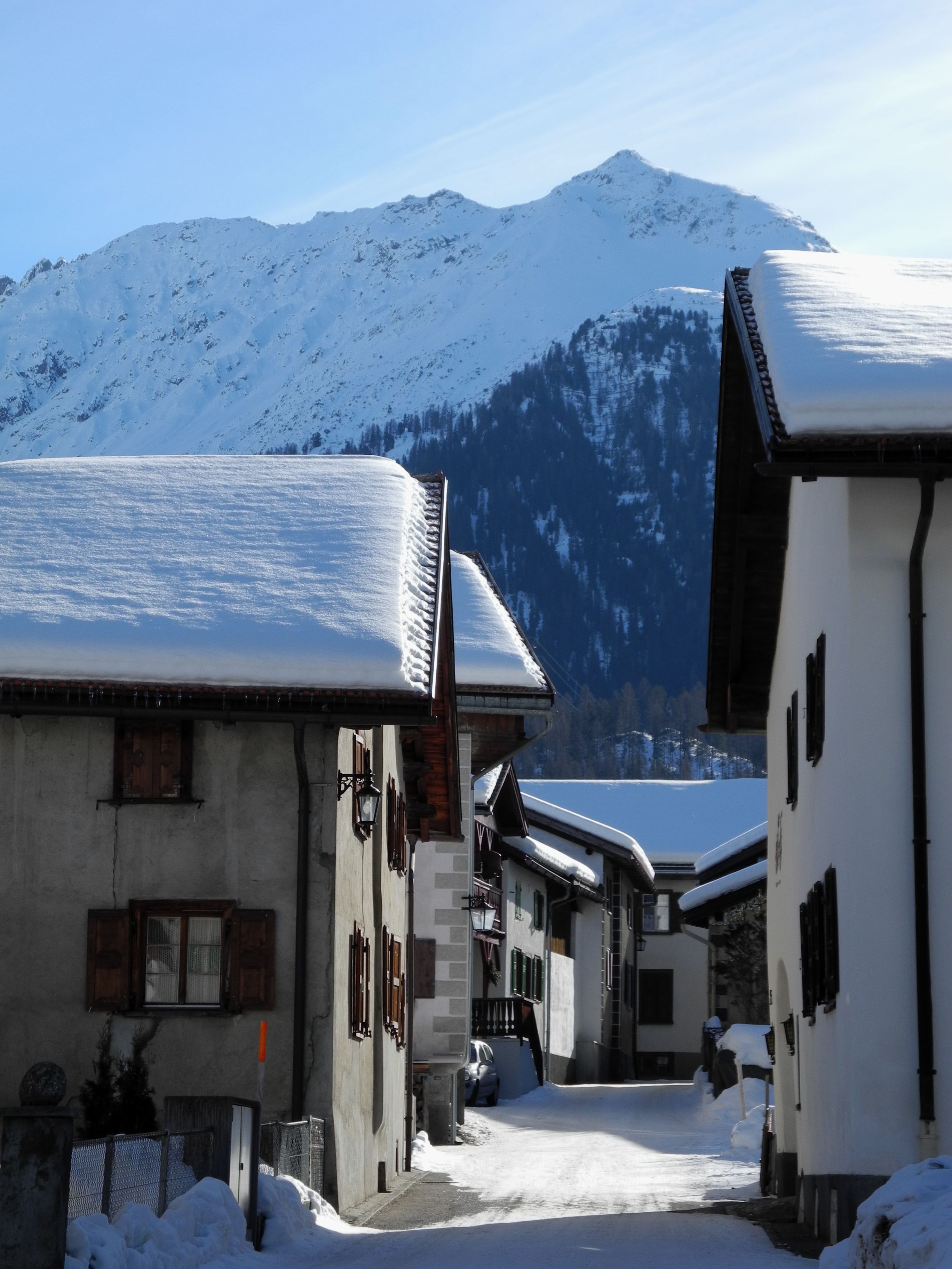
Bergün/Bravuogn
At 1,367 metres in the Albula Valley, Bergün lines its sgraffito-decorated Engadine houses along one climbing street. Its Romansh name, Bravuogn, has been official since 1943.
Village · Upper Engadine, Grisons · 13 km as the crow flies
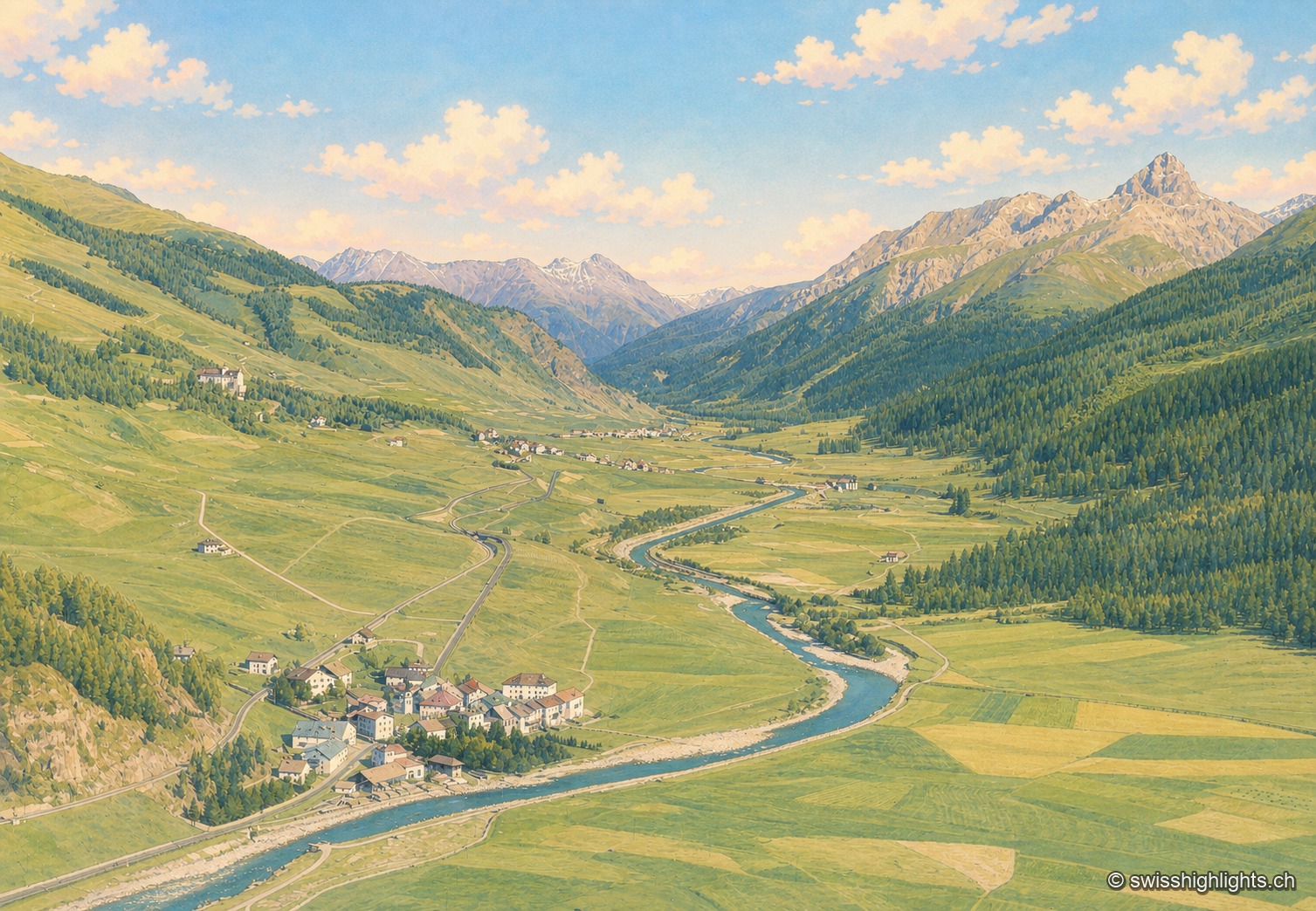
Madulain
First recorded in 1137-1139 as Madulene, the village is overlooked by the ruins of Guardaval Castle, built in 1251 for the Bishop of Chur. Madulain joined the Les Plus Beaux Villages de Suisse association in 2018.
Walser hamlet · Grisons · 23 km as the crow flies
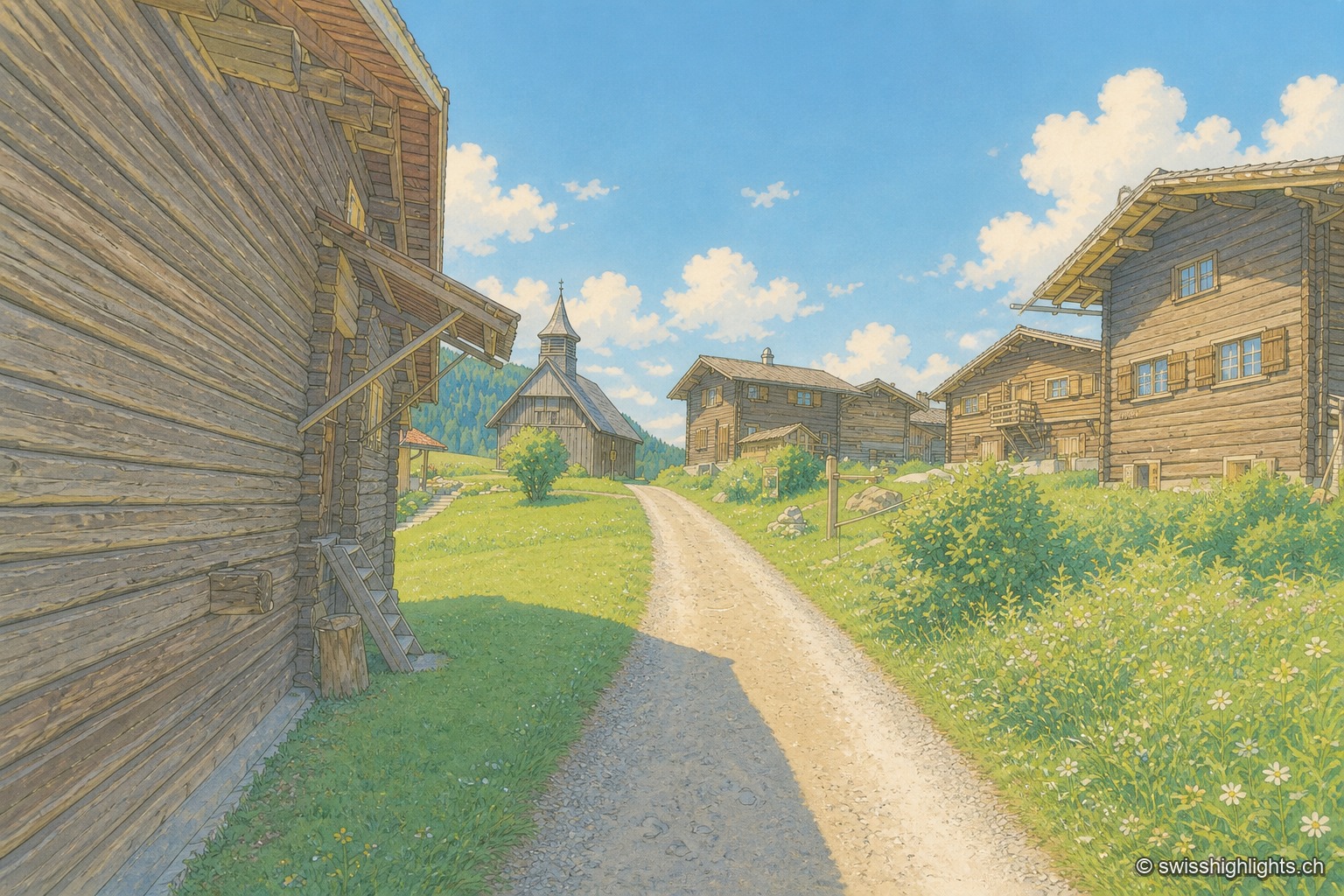
Obermutten
Part of Thusis since 2017, Obermutten sits at 1,864 metres on the slope of the Muttnerhorn. A fire destroyed seventeen houses there in 1946; the hamlet later gained unexpected social-media fame in 2011.