Village · Upper Engadine, Grisons
Madulain
A village of 206 people wedged between the Inn and a rock spur, below the ruins of Guardaval Castle, in the Upper Engadine.
Madulain stretches along the left bank of the Inn, between La Punt-Chamues-ch and Zuoz, about fifteen minutes from St. Moritz. Its dense, irregular built-up area gathers around a central square at the foot of the rock spur that carries the ruins of Guardaval Castle. With 206 residents recorded at the end of 2020, it is the smallest municipality in the Upper Engadine; an exclave, Val Prünella, some ten kilometres to the south, accounts for close to half of its territory.
The place, recorded from 1137-1139 as Madulene, owes its skyline to a castle built in 1251 by Volkard von Neuburg, Bishop of Chur, to administer the bishopric's Upper Engadine estates from the height. The fief passed to the Planta family in 1377, but the fortress, never inhabited, was pledged in 1409 to the League of God's House to settle the bishopric's debts; it then ceased to be an administrative seat and fell into ruin over the course of the 15th century.
A church is recorded at Madulain from 1370; the present late-Gothic building was raised around 1510, before the Reformation was introduced in 1554. The small reformed church is now protected as a historic monument. The municipality, split off from Zuoz in 1543, lines its village core — held to be among the best preserved in the Upper Engadine — up to the station serving the Bever-Scuol-Tarasp line.
Puter, the Upper Engadine dialect of Romansh, remained the language of the whole village until the early 19th century; today it is spoken only by a minority, German having taken over after 1970.
Why this place is remarkable
Few Engadine villages hold together in so little space: a row of houses squeezed between the Inn and the spur that carries the ruins of Guardaval, an episcopal castle built in 1251 and later abandoned after being pledged in 1409. The village core, held to be among the best preserved in the Upper Engadine, reads in a single glance from the central square to the tower of the reformed church raised around 1510.
History and origin
Guardaval Castle was built in 1251 by Volkard von Neuburg, Bishop of Chur, on the spur above the village, to administer the bishopric's Upper Engadine estates. In 1377 it became a fief of the Planta family, but was never inhabited: pledged in 1409 to the League of God's House to settle episcopal debts, it lost its administrative role and fell into ruin from the 15th century on. A church is attested at Madulain in 1370; the late-Gothic building seen today dates from around 1510, the Reformation was introduced in 1554, and the municipality split off from Zuoz in 1543 to become an independent 'Nachbarschaft'.
What to do and see
- Look out from the village's central square at the ruins of Guardaval castle, built in 1251 on the rocky spur.
- See the late-Gothic reformed church, built around 1510, in a village core held to be one of the best preserved in the Upper Engadine.
- Follow the dense, irregular built-up area squeezed between the Inn and the rocky spur.
Coming with family: what to know
- The village can be taken in at a single glance from the central square up to the bell tower, a short route suited to a quiet visit.
As a couple
- Walk to the foot of the spur that carries the ruins of Guardaval, an episcopal castle that was never inhabited.
- Walk along the left bank of the Inn between La Punt-Chamues-ch and Zuoz, level with Madulain.
- Stop in front of the 16th-century reformed church, protected as a historic monument.
Location
Loads an interactive Google Maps view on demand, from the place's verified coordinates.
The embedded map will be enabled once an authorized Google Maps key is configured. Use the link above in the meantime.
The map could not load. Check your connection or use the link above to open the place in Google Maps.
Related places
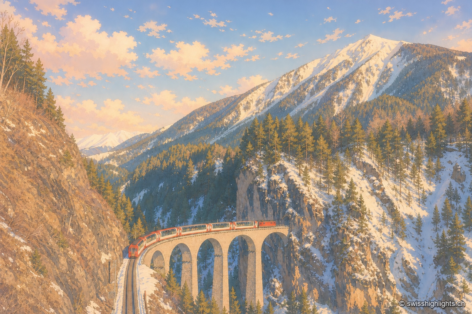
Railway line · Valais–Graubünden · 13 km as the crow flies
Glacier Express
The train crosses 291 bridges and 91 tunnels over 291 kilometres of metre-gauge track, climbs to the Oberalp Pass at 2,033 metres and drops again to Chur, at 585 metres, its lowest point.
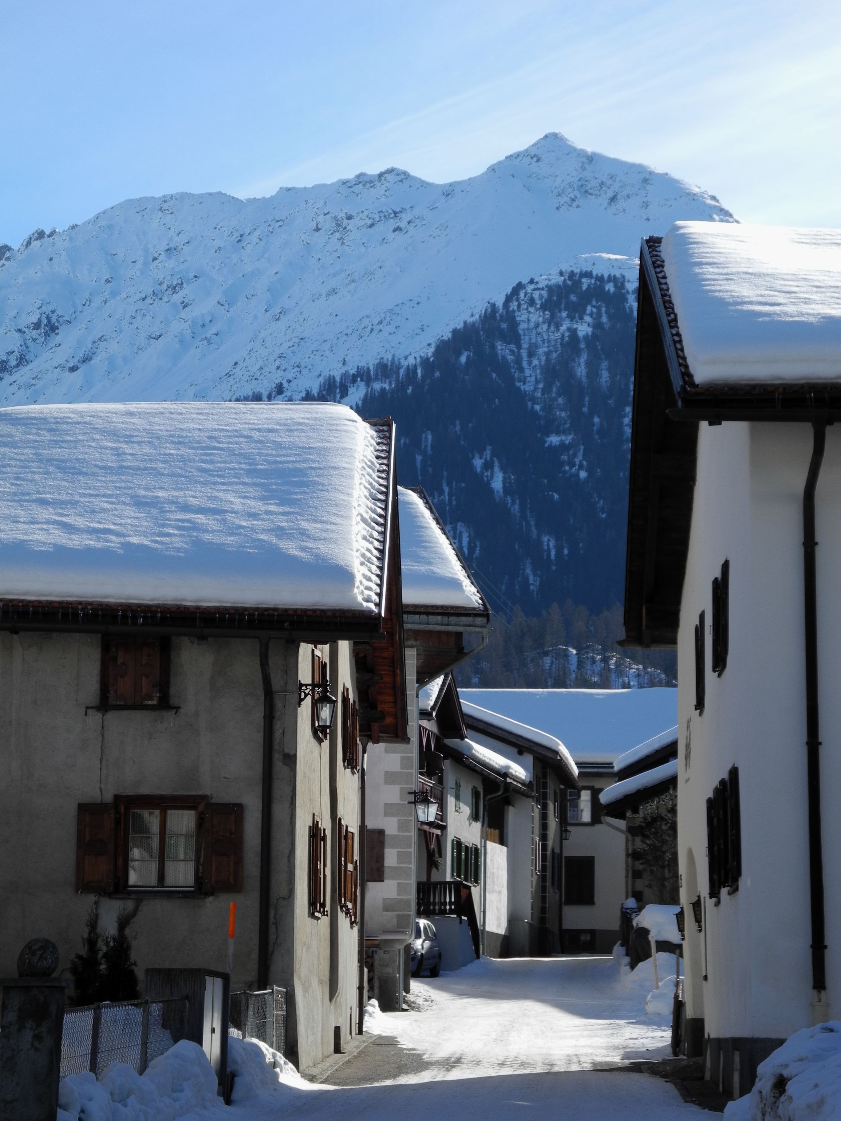
Graubünden · Albula Valley · 15 km as the crow flies
Bergün/Bravuogn
At 1,367 metres in the Albula Valley, Bergün lines its sgraffito-decorated Engadine houses along one climbing street. Its Romansh name, Bravuogn, has been official since 1943.
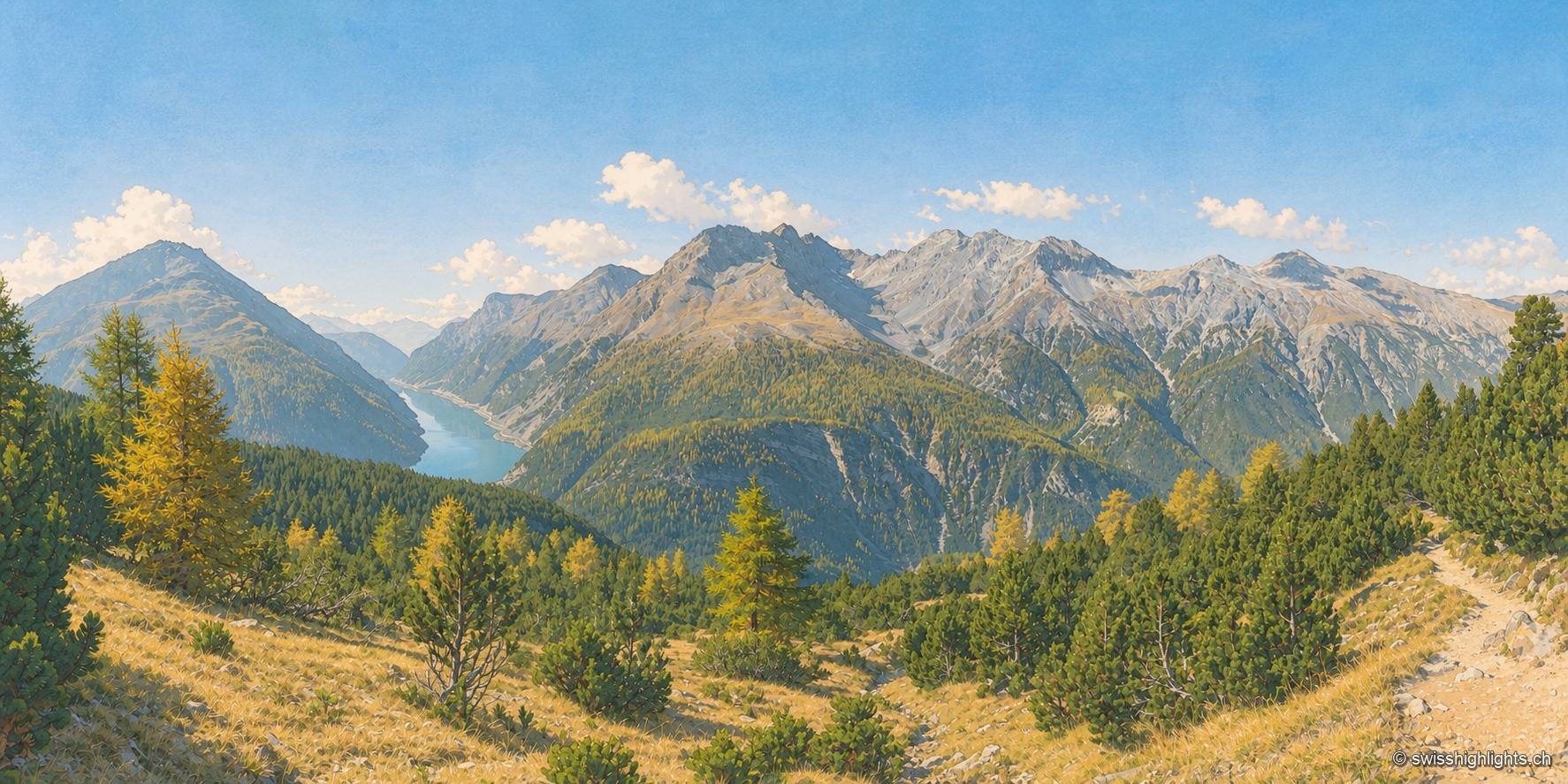
National park · Grisons · 18 km as the crow flies
Swiss National Park
Founded in 1914 between Zernez and the Val Müstair, it rises from 1,400 to 3,173 metres. Red deer, ibex and bearded vultures live here unmanaged; a visit keeps to 80 kilometres of paths that may not be left.