Emmental town · Bern
Berthoud (Burgdorf)
A Bernese town at the mouth of the Emmental, under a Zähringen castle, with a written town law dating from 1273.
Berthoud — Burgdorf in German — was built on two levels, at 533 metres, where the Emme leaves the Emmental. Below, the lower town and its network of canals; above, the upper town, packed along a single street, and the castle set on its spur. The drop between them is such that in 1835 a road had to be built that bridges over itself to climb it. The upper town has been closed to through traffic since 1989; one walks there between sandstone façades with coloured shutters, up to the church, built at the end of the 15th century, whose rood screen ranks among the major pieces of late Gothic stone carving in Switzerland.
Everything starts with the castle. It appears in the records in 1084 as castellum Bertaldi ducis, in the chronicle of Bernold of Constance, before the settlement itself is mentioned in 1175. The Zähringen line died out in 1218; the Kyburgs succeeded them and in 1273 the Goldene Handfeste came into force, the oldest surviving version of Burgdorf's town law — some of its provisions remained in use for more than 500 years, until the end of the Old Swiss Confederacy. In 1384, at the close of the Burgdorf war, the town passed to Bern, formally by purchase.
The French name does not come from the founder. Berthoud points to Berthold I of Rheinfelden, the owner named in the record of 1084, and not to Berthold IV of Zähringen. The town also has a long habit of beginnings: a press printed seven Latin theological works here in 1475-1476; Pestalozzi worked out his teaching method here from 1800 to 1804 and set it down in How Gertrude Teaches Her Children; and in 1899 the Burgdorf-to-Thun line opened as the first fully electrified standard-gauge railway in Switzerland, running on three-phase current at 750 volts and 40 hertz.
Why this place is remarkable
Berthoud adds up verifiable firsts rather than superlatives: a written town law preserved since 1273 and applied for more than 500 years, a press at work from 1475, the Pestalozzi method developed on the spot between 1800 and 1804, and the first electrified standard-gauge railway in Switzerland, opened on 21 July 1899. All of it can still be read in a two-level plan, castle above, canals below, which 1989 gave back to walking.
History and origin
The castle, recorded in 1084 and held by the Zähringen, controlled the entrance to the Emmental. After the line died out in 1218 the Kyburgs held the town and granted it wide autonomy, set down in 1273 in the Goldene Handfeste. Ruined, they ceded it in 1384 to Bern, which installed its bailiffs there until 1798. The Reformation was introduced in 1528 and the church altars removed. A fire destroyed about 60 houses in the upper town in 1706; the Solennität school festival, for its part, has been held since 1729.
What to do and see
- Climb from the canal of the lower town up to the castle perched on its spur, following the road that has climbed the slope since 1835.
- Walk through the upper town, closed to through traffic since 1989, among sandstone façades with colourful shutters.
- Look in the church for the late-15th-century rood screen, one of the major pieces of late Gothic stonework in Switzerland.
- Picture the Berthoud-Thun line, opened in 1899, the first fully electrified standard-gauge railway in Switzerland.
Coming with family: what to know
- The town reads on two levels, castle above and canals below, with a marked drop between the two quarters.
As a couple
- Follow the town's two-tier layout, from the castle first mentioned in 1084 down to the canals of the lower town.
- Stop before the Goldene Handfeste of 1273, some of whose provisions remained in use for more than 500 years.
- As you walk through the old town, trace together the thread linking the founding castle to the Pestalozzi method, developed here between 1800 and 1804.
Location
Loads an interactive Google Maps view on demand, from the place's verified coordinates.
The embedded map will be enabled once an authorized Google Maps key is configured. Use the link above in the meantime.
The map could not load. Check your connection or use the link above to open the place in Google Maps.
Related places
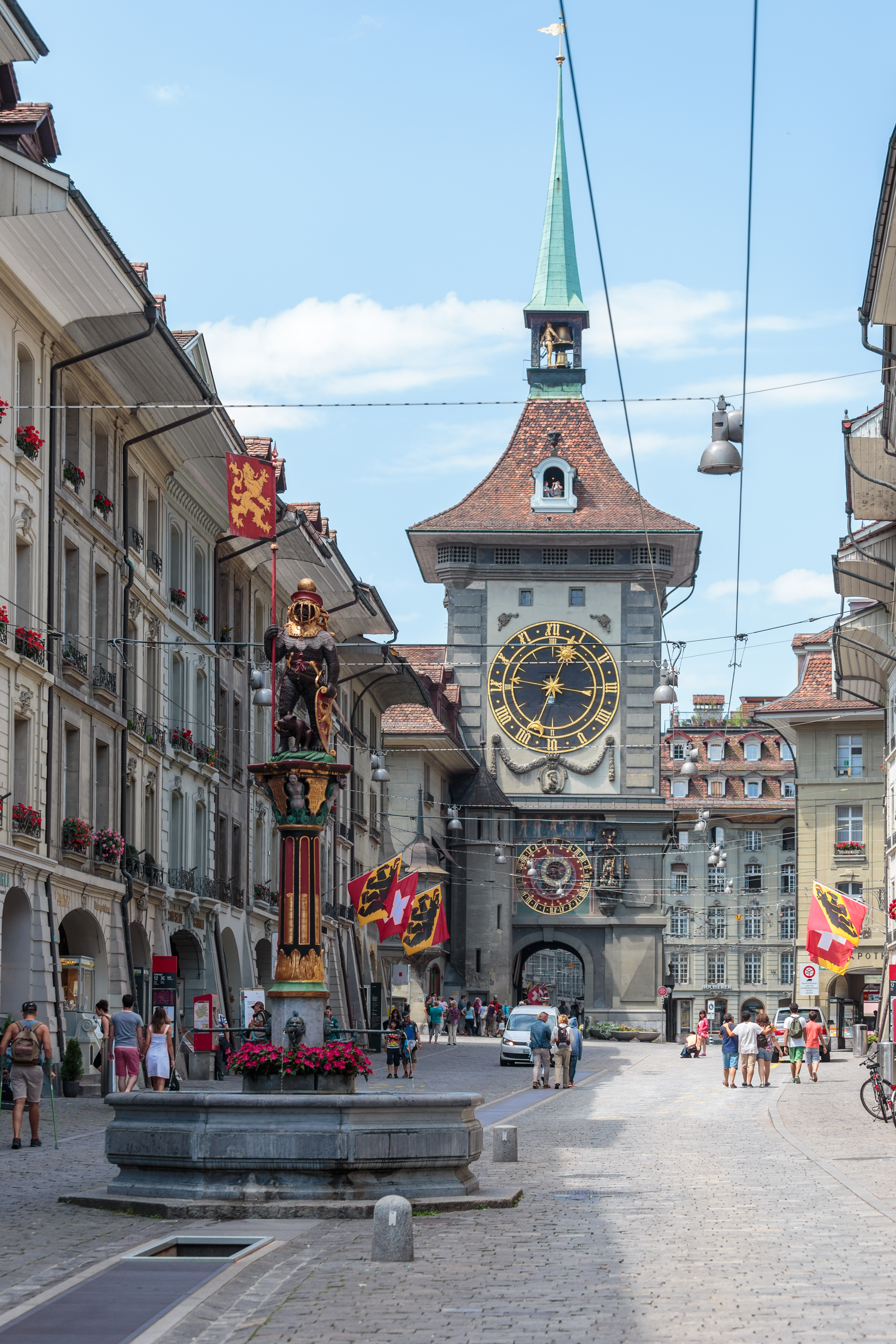
Old town · Bern · 18 km as the crow flies
Bern, Old Town
More than six kilometres of arcades, 16th-century fountains and the Zytglogge tower set the rhythm of a centre rebuilt in sandstone after the fire of 1405.
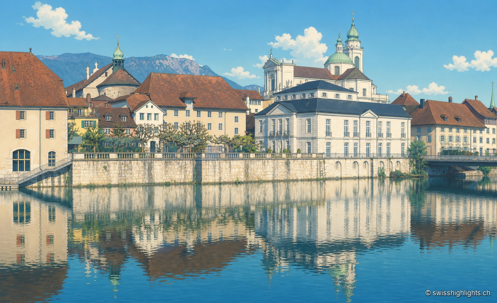
City of ambassadors · 18 km as the crow flies
Solothurn
Founded by Rome as Salodurum, admitted to the Confederation in 1481, Solothurn keeps towers and gates from the 15th-16th centuries around its baroque cathedral and its town hall, completed in 1711. 16,847 inhabitants at the end of 2024.
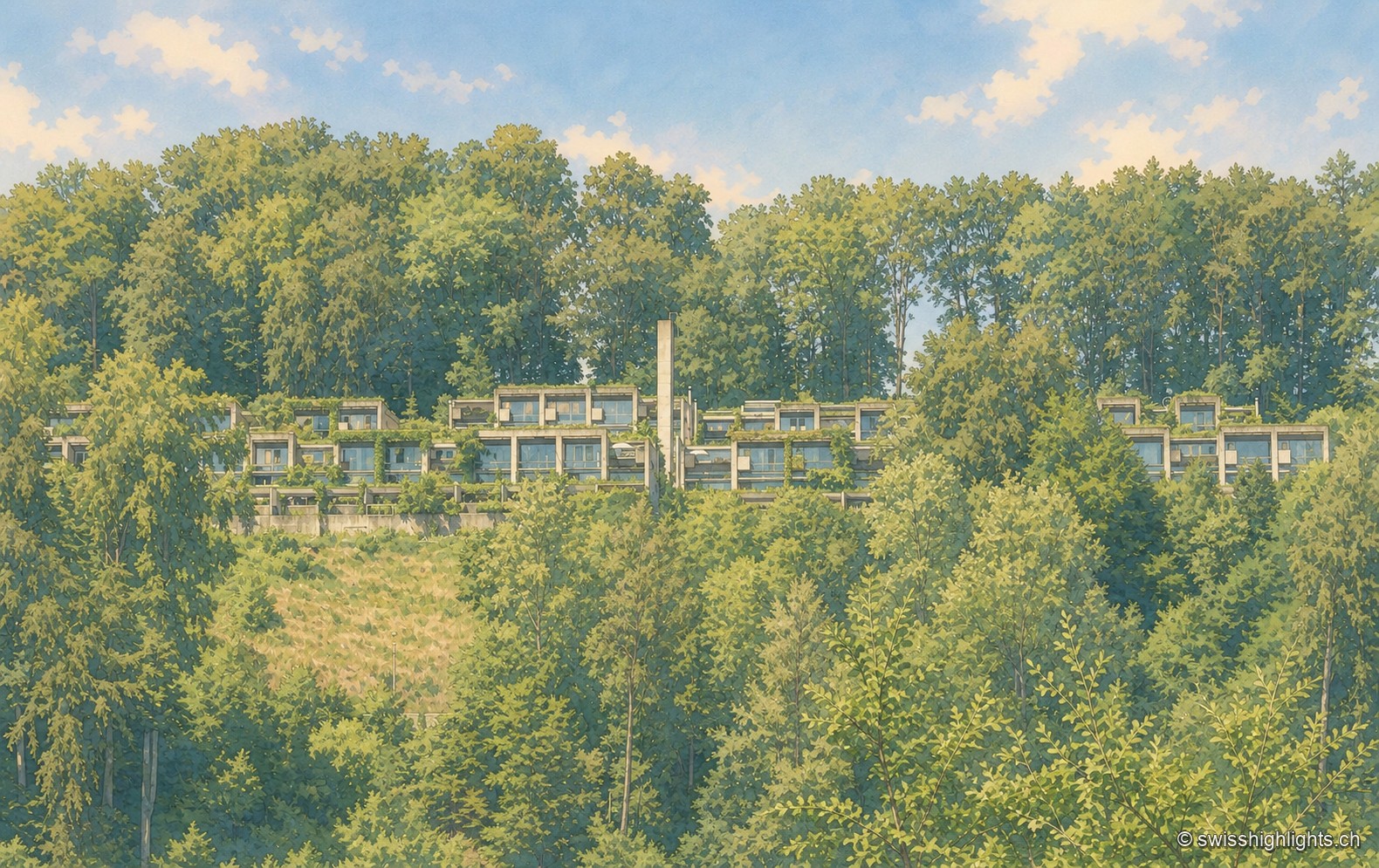
Row-house estate · Bern · 19 km as the crow flies
Halen
78 dwellings and 5 studios in three terraced rows, exposed concrete, gardens closed off by walls: Atelier 5's Siedlung Halen is listed as a cultural property of national significance.