Underground lake · Valais
Saint-Léonard Underground Lake
A sheet of water 260 metres long inside the Châtelard hill, at 11 °C all year round, found in 1943 and crossed by boat since 1949.
The Saint-Léonard underground lake lies in the hollow of the Châtelard hill, in Valais. The sheet of water is 260 metres long and 29 wide, and it holds at 11 °C all year round, with no seasonal change. It fills only part of the cavity, which runs 1,400 metres: at the end of the lake a visible rockfall bars the rest of the network, access to which remains reserved for cavers. The encyclopedic source gives it as the largest underground lake in Europe.
What can be seen there amounts to little and stays with you: the limestone vault lit from below, the clear water lying over a rock floor, and, further into the cave, a statue of Saint Barbara — patron saint of geologists — set above the boats. Three boats rest on the bottom: they were deliberately sunk, to give something to look at beneath the hull. Rainbow trout are introduced into the lake to monitor the quality of the water. Along the cantonal road from Saint-Léonard to Granges, other caves open in the slope; they are supposed to be connected to the lake, though the source does not establish it.
Why this place is remarkable
A body of water 260 metres long beneath a hill is uncommon enough; rarer still is that it makes up only a fraction of the cavity that holds it — 1,400 metres in all, the continuation blocked by a rockfall. The water stays at 11 °C from one end of the year to the other, under the vines that cover the slope, and the only way across it is still the boat, as it has been since 1949.
History and origin
Cavers found the lake in 1943. Three years later the 1946 earthquake — 6.1 on the Richter scale — lowered its level. Boating was authorised in 1949, and the place became a regular visit. Access was closed in 2000 while the stability of the walls and ceiling was improved, then returned to the public in June 2002.
What to do and see
- Cross the 260-meter body of water by boat, beneath a limestone vault lit from below.
- Spot the statue of Saint Barbara, patron saint of geologists, positioned above the boats further into the cave.
- Observe the three boats deliberately sunk at the bottom of the water, as well as the rainbow trout introduced to monitor water quality.
- Look, at the end of the lake, at the rockfall that blocks the continuation of the network, which totals 1,400 meters in length.
Coming with family: what to know
- The water stays at 11 °C year-round, without seasonal variation, to keep in mind for how it feels underground.
As a couple
- A boat crossing, as has been done since 1949, beneath a limestone vault lit from below.
- The statue of Saint Barbara watching over the lake, a silent landmark along the way.
- The water at constant temperature year-round, a contrast with the vineyards on the hillside above.
Beyond the rockfall visible at the end of the lake the network is not open: what follows belongs to caving, not to visiting.
Beyond the rockfall visible at the end of the lake, the network is not open: its continuation is a matter for speleology, not for visiting.
Location
Loads an interactive Google Maps view on demand, from the place's verified coordinates.
The embedded map will be enabled once an authorized Google Maps key is configured. Use the link above in the meantime.
The map could not load. Check your connection or use the link above to open the place in Google Maps.
Related places
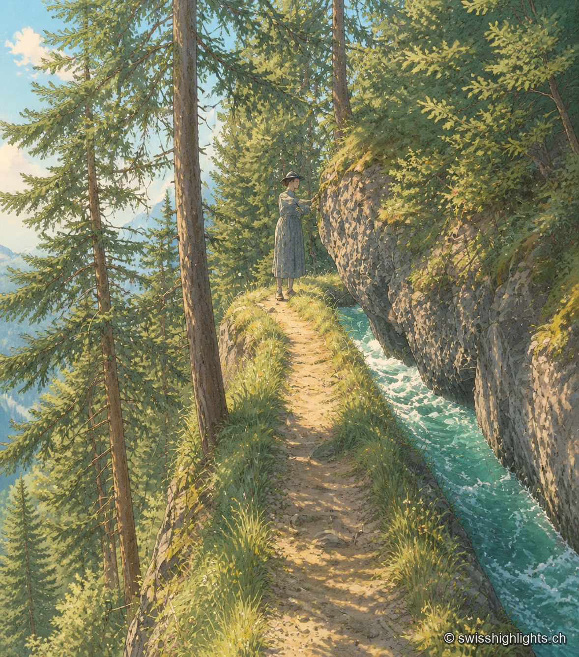
Historic bisse · Crans-Montana · 8 km as the crow flies
Bisse du Ro
Modified in 1925 to compensate for low stream flow, the Bisse du Ro was abandoned in 1947. Reopened as a trail and partly refilled with water in 2015, its route crosses cliffs secured, on the second half, only by a handrail.
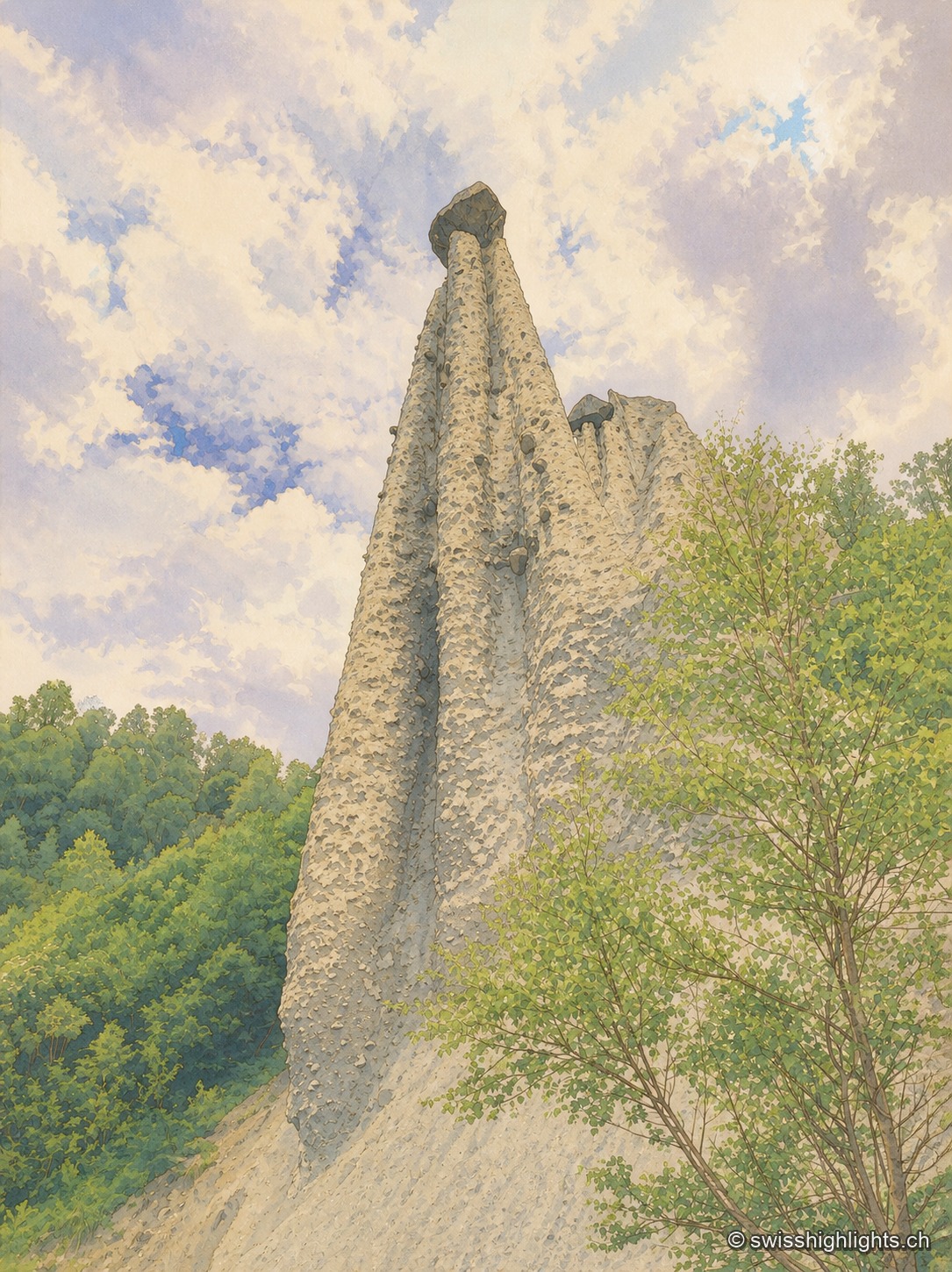
Earth pyramids · Valais · 9 km as the crow flies
Pyramides d'Euseigne
Each moraine cone of the Pyramides d'Euseigne, 10 to 15 metres tall, is capped by a boulder that protects it from erosion; the Val d'Hérens road passes through a tunnel cut beneath the formations.
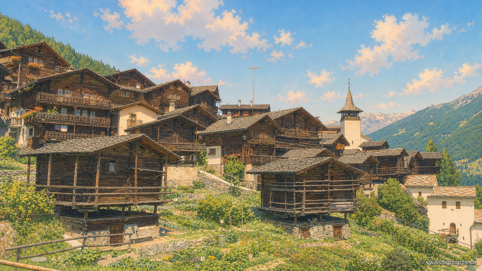
Valais · Val d'Anniviers · 14 km as the crow flies
Grimentz
Grimentz holds its slope at 1,572 metres above the Val d'Anniviers. Raccards on stilts stand beside the Maison Bourgeoise of 1550, in whose cellars the vin du Glacier ages.