Bernese village · Lake Brienz
Bönigen
Bernese village at the mouth of the Lütschine into Lake Brienz, at the foot of the Schynige Platte.
Bönigen is a commune in the canton of Bern, in the Interlaken-Oberhasli administrative district. The village lies at the mouth of the Lütschine into Lake Brienz, at the foot of the Schynige Platte and the Rotenfluh. Its territory covers 15.12 square kilometres, 58% of it forested. The commune had 2,786 inhabitants on 31 December 2024, a density of 184 inhabitants per square kilometre; its population grew by 3.4% between 2010 and 2019, against 6.1% for the canton and 9.4% for Switzerland.
Bönigen was an imperial fief of the barons von Eschenbach, who leased and then gave it, along with the alpine pastures of Iseltenalp and Künzlenalp, to Interlaken convent in 1261 and again in 1275. The village was caught up in the uprisings of the Bernese Oberland: the people of Oberhasli were defeated there in 1330 by the Weissenburg; Bönigen rose up unsuccessfully against Interlaken convent in 1349, and refused the Protestant Reformation in 1528. After the convent's secularisation that same year, the village was attached to the Bernese bailiwick of Interlaken.
The village first settled on the alluvial fan of the Hauetenbach, sheltered from floods, before spreading along the Interlaken road and towards a marshy area after the correction of the Lütschine and the lowering of Lake Brienz's level around 1860. Attached to the parish of Gsteig-Interlaken, Bönigen has had its own church since 1957, shared with the parishioners of Iseltwald. The split between the bourgeois commune and the resident commune dates to 1860-1861; the two formed a mixed commune from 1900 to 1999.
A railway line linked Interlaken Ost station to Bönigen from 1 July 1874. Incorporated into the Thunerseebahn in 1900 and then into the BLS company in 1913, it was electrified on 21 August 1920 before closing on 31 May 1969.
Why this place is remarkable
Bönigen owes its shape to its position at the mouth of the Lütschine into Lake Brienz, where the well-preserved village developed on an alluvial fan sheltered from floods. A former imperial fief ceded to Interlaken convent in the 13th century, it resisted its neighbours' religious and political claims before refusing the Protestant Reformation in 1528. Its railway line to Interlaken Ost, running from 1874 to 1969, long made it a gateway to the lake.
History and origin
Bönigen was an imperial fief of the barons von Eschenbach, leased and then ceded, along with the alpine pastures of Iseltenalp and Künzlenalp, to Interlaken convent in 1261, confirmed in 1275. The village is linked to the uprisings of the Bernese Oberland: the people of Oberhasli were defeated there by the Weissenburg in 1330, and Bönigen rose up unsuccessfully against Interlaken convent in 1349. In 1528 the village refused the Protestant Reformation; the convent's secularisation that same year attached it to the Bernese bailiwick of Interlaken.
What to do and see
- Watch the mouth of the Lütschine flowing into Lake Brienz, at the foot of the Schynige Platte and the Rotenfluh.
- Spot the village's original settlement site, on the Hauetenbach alluvial fan, sheltered from floods.
- Follow the route of the former railway line to Interlaken Ost, in service from 1874 to 1969.
Coming with family: what to know
- 58% of the municipal territory is covered by woodland, out of 15.12 square kilometres.
As a couple
- Stroll along Lake Brienz, where the Lütschine joins its waters.
- As you wander through the village, talk about how it resisted the Protestant Reformation in 1528, despite the secularization of the nearby monastery.
- Search together for the land reclaimed from the lake after the Lütschine river correction and the lowering of its water level around 1860.
Location
Loads an interactive Google Maps view on demand, from the place's verified coordinates.
The embedded map will be enabled once an authorized Google Maps key is configured. Use the link above in the meantime.
The map could not load. Check your connection or use the link above to open the place in Google Maps.
Related places
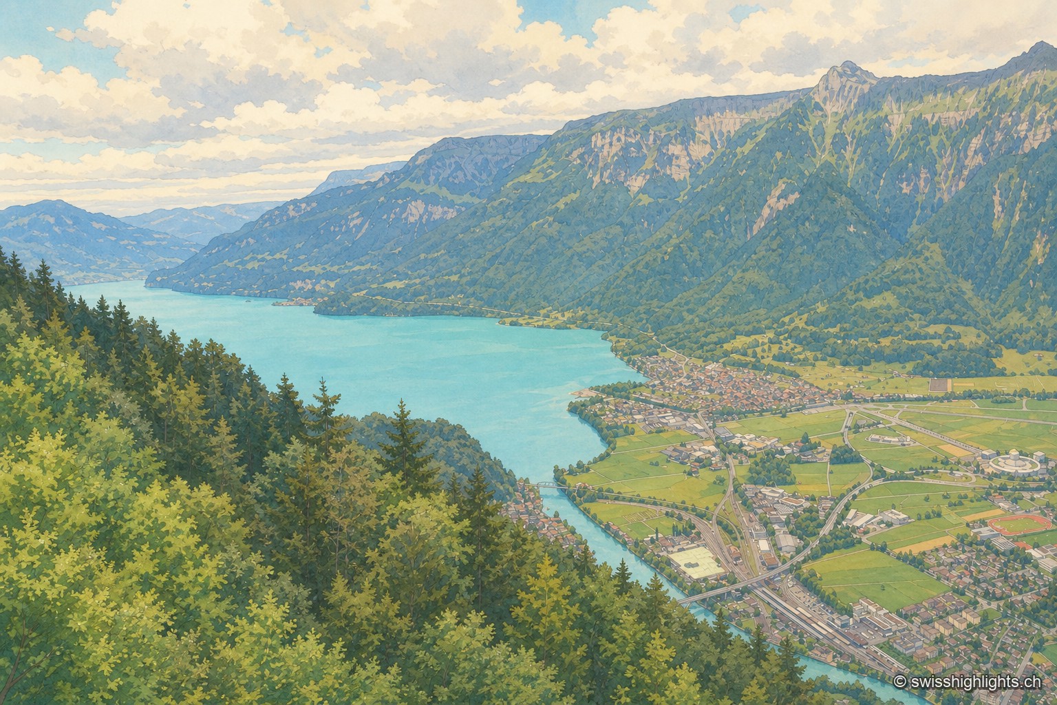
Town · Bernese Oberland · 2 km as the crow flies
Interlaken
A municipality of 6,123 inhabitants on a flat tongue of land four kilometres wide between two lakes. Its Latin name dates only from 1891: before that it was Aarmühle, the mill on the Aare.
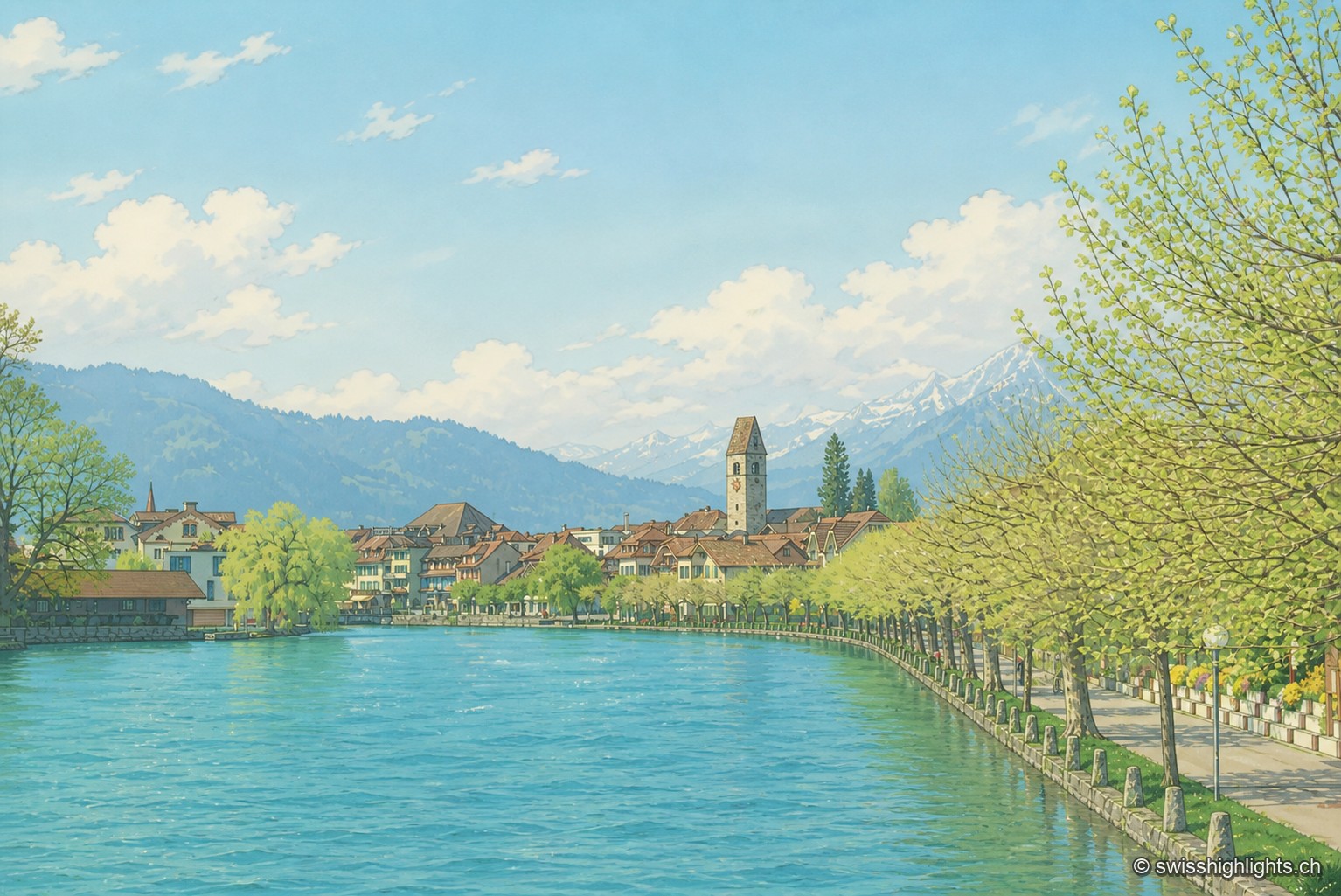
Bödeli town · Bern · 3 km as the crow flies
Unterseen
Built on the north bank of the Aare facing Interlaken, Unterseen burned in 1364 and again in 1470; Bern had it rebuilt around a central town house. Its log façades date from the seventeenth to the nineteenth century.

Glacial lake · Bern · 5 km as the crow flies
Lake Brienz
No lake in Bern runs deeper. Its colour comes from the glacial milk the Aare and the two Lütschine unload into it — 300,000 tonnes of particles a year: near blue in winter, milky grey in high August.