Town · Bernese Oberland
Interlaken
A town of the Bernese Oberland set between Lake Thun and Lake Brienz, on the alluvial plain crossed by the Aare.
Interlaken occupies the Bödeli, the alluvial plain that separates Lake Brienz from Lake Thun in the Bernese Oberland. The Aare crosses it from east to west over about four kilometres, from one body of water to the other, with two metres of fall between them. The town spreads over the flat left bank and reaches onto the right bank by a narrow strip that climbs at once into the Harder massif; a funicular runs up to the approaches of the Harder Kulm, at 1,321 metres, already in the neighbouring municipality of Unterseen. The municipal territory measures only 4.3 km², nearly half of it built up.
The municipality counted 6,123 inhabitants at the end of 2024. The 2013-2018 survey gives 49.6% of the area to housing and infrastructure, 22.7% to forest and 21.3% to farmland: flat ground is scarce here and largely taken. With Matten and Unterseen, its neighbours on the same plain, Interlaken forms the built-up whole of the Bödeli, with 14,424 inhabitants.
The buildings keep the stages. The former Augustinian priory became the bailiffs' residence after the Reformation; a castle went up beside it in 1748. Then came the series of grand nineteenth-century hotels, among them the Beau-Rivage, a neo-Renaissance palace built from 1872 to 1874 by the architect Horace Édouard Davinet. Two funiculars still leave the town, one for the Heimwehfluh, the other for the Harder Kulm.
Why this place is remarkable
Interlaken exists because of an accident of relief: four kilometres of flat ground caught between two lakes and two steep slopes, in a region that offers almost none. Everything follows from it — the siting of the monastery, the Latin name meaning between the lakes, the row of hotels, the convergence of railways towards the Lauterbrunnen and Grindelwald valleys. It is a town whose main interest is what it opens onto, and it has known that for two centuries.
History and origin
Mountain tourism shaped the town in the nineteenth century. Travellers' accounts brought the Oberland into fashion, the hotels lined up, then the railway shortened distances: the Wengen line in 1893, the Jungfrau line from 1898 to 1912. The municipality changed its name in the same movement — Aarmühle until 1891, Interlaken thereafter, from the Latin phrase inter lacus inherited from the Augustinian monastery founded around 1130, around which the settlement had grown from the twelfth century. It was also in an Interlaken funicular that the mathematicians Georg Cantor and Richard Dedekind met in 1874; set theory would come out of their collaboration.
What to do and see
- Walk on the Bödeli, the narrow plain that separates Lake Brienz from Lake Thun, crossed by the Aare.
- Take the funicular up to the Harder Kulm, at 1,321 metres, for a viewpoint over both lakes.
- Observe the Beau-Rivage, a neo-Renaissance palace built in 1872-1874 by Horace Édouard Davinet.
- Spot the former Augustinian priory, which became the bailiffs' residence and then a castle in 1748.
Coming with family: what to know
- The town itself remains on flat ground but the slopes that border it climb steeply straight away.
As a couple
- Stroll on the narrow plain between the two lakes, where the Aare flows from one body of water to the other.
- Take the funicular up to the Harder Kulm for a shared viewpoint over the Bödeli.
- Stop in front of the great 19th-century hotels, including the Beau-Rivage.
- Locate the town's Latin name, inter lacus, from the shore between the two lakes.
Location
Loads an interactive Google Maps view on demand, from the place's verified coordinates.
The embedded map will be enabled once an authorized Google Maps key is configured. Use the link above in the meantime.
The map could not load. Check your connection or use the link above to open the place in Google Maps.
Related places
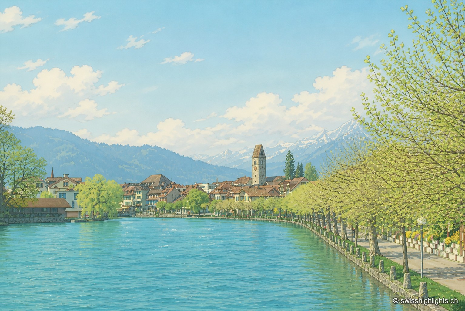
Bödeli town · Bern · 1 km as the crow flies
Unterseen
Built on the north bank of the Aare facing Interlaken, Unterseen burned in 1364 and again in 1470; Bern had it rebuilt around a central town house. Its log façades date from the seventeenth to the nineteenth century.
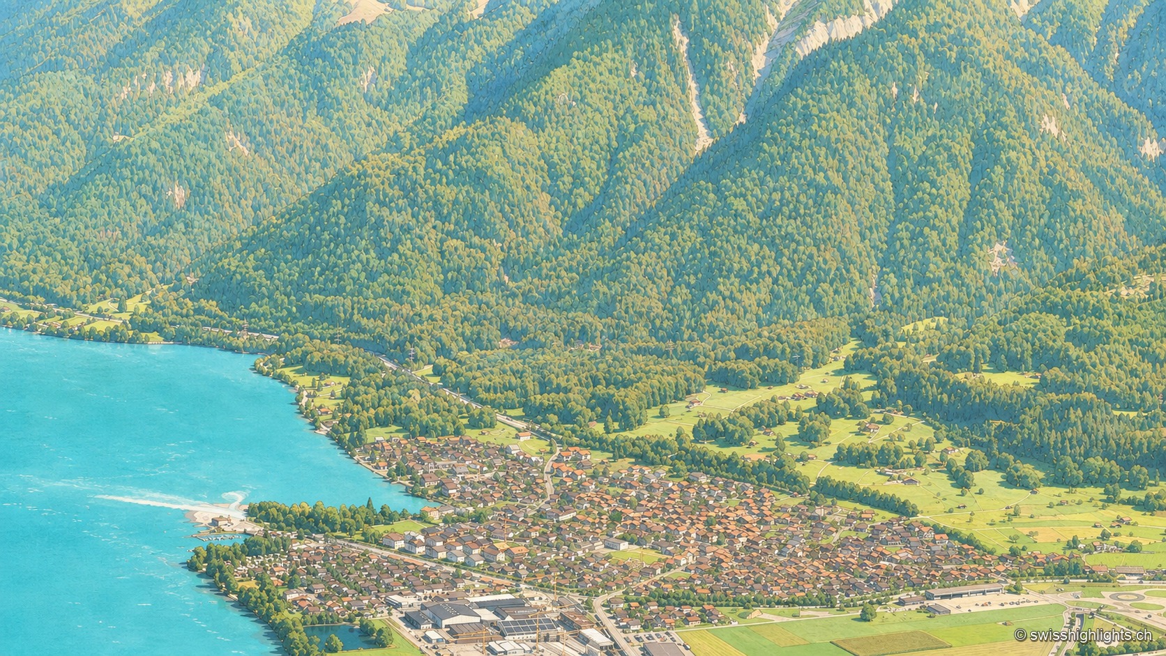
Bernese village · Lake Brienz · 2 km as the crow flies
Bönigen
Bönigen, at the mouth of the Lütschine into Lake Brienz, was an imperial fief of the barons von Eschenbach ceded to Interlaken convent in 1261; the village refused the Protestant Reformation in 1528 and today has 2,786 inhabitants.
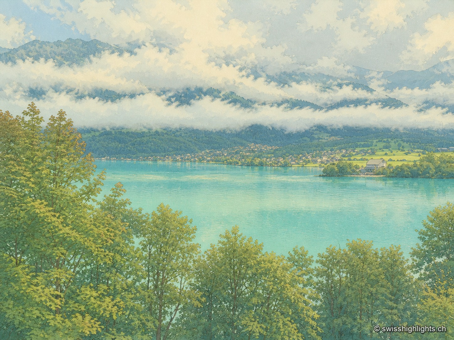
Glacial lake · Bern · 7 km as the crow flies
Lake Brienz
No lake in Bern runs deeper. Its colour comes from the glacial milk the Aare and the two Lütschine unload into it — 300,000 tonnes of particles a year: near blue in winter, milky grey in high August.