Bödeli town · Bern
Unterseen
On the Bödeli plain between Lake Thun and Lake Brienz, a small town founded in 1279 whose name simply means 'between the lakes'.
Unterseen occupies the Bödeli, the alluvial plain wedged between Lake Thun and Lake Brienz; the old town holds the north bank of the Aare, facing Interlaken, at about 567 metres. The municipality covers 13.99 km², of which 60.1% is forest and 18.2% farmland; building takes up only 15.3%, the rest climbing the steep slopes of the Harder and the Chienberg. From the town the eye reaches the Eiger, the Mönch and the Jungfrau. A survey of 2022 gives 5745 inhabitants.
The name is a translation. Interlaken, 'between the lakes', is unter seen in Middle High German — hence Unterseen. On 13 July 1279 King Rudolf I of Habsburg allowed Baron Berchtold III of Eschenbach-Oberhofen to raise a fortress between the two lakes, and the fortification received town rights in the same act. It was the work of the secular nobility, seeking to contain the monastery of Interlaken on the far bank and to hold a bridge over the Aare. The conflict with the monastery never ended; the young town placed itself early under the protection of Bern, whose bailiff administered it after 1386.
Two fires made the town one sees. In 1364 a fire started in the mill belonging to the monastery and swallowed much of Unterseen; in 1470 it burned a second time, and Bern ordered the rebuilding around a town house set in the middle. Hence its silhouette: log-built houses of the seventeenth to nineteenth centuries, with rows of windows still medieval in feel, lined along a square. A chapel is recorded in 1353; the church was recast in baroque style in 1674 by Abraham I Dünz, and the present building dates from 1852. The castle was raised about 1656, partly with material from an earlier building and from the ruins of Unspunnen, then wholly renovated between 1746 and 1757.
Unterseen long resisted before it served. After the Helvetic Republic the town became a centre of opposition to the restored Bernese regime; the Unspunnen festivals of 1805 and 1808, meant as a reconciliation between town and country, failed, and the government afterwards forbade such gatherings. The town wall and moat came down early in the nineteenth century, and the gatehouse was demolished in 1855. In the tourism that arose from 1750 Unterseen at first took the leading part, before Interlaken took it from her in the middle of the nineteenth century. The old town and the ruins of Weissenau Castle are cultural properties of national importance.
Why this place is remarkable
Unterseen carries its explanation in its name: 'between the lakes', the German of Interlaken. The town was founded in 1279 against the monastery opposite, to hold a bridge over the Aare; it burned in 1364 and again in 1470, and it was Bern that had it rebuilt around its town house. What one sees today — a square lined with log-built houses, the Eiger, the Mönch and the Jungfrau behind — is the drawing of that ordered rebuilding.
History and origin
The oldest traces of settlement on the Bödeli are scattered neolithic tools; a Roman cemetery of the second century, then an early medieval burial ground, show that the plain was never abandoned. The place is called Interlacus in 1133, when the monastery of Interlaken was founded on the other bank of the Aare; Unterseen was born in 1279, opposite it and against it. During the Reformation the town took Bern's side: in the so-called Interlaken war, in 1528, it was occupied on 29 October by the partisans of the old faith, who withdrew during the night of the 30th; for its loyalty Bern granted it the alp of Sefinen, which it still holds.
What to do and see
- Walk through the square lined with timber-framed buildings, rebuilt on Bern's orders after the fire of 1470.
- See the church, originally Gothic, given a Baroque finish in 1674 by Abraham I Dünz.
- Spot the castle built around 1656, partly with stones from the ruins of Unspunnen.
- Look from the old town for the view of the Eiger, the Mönch and the Jungfrau.
Coming with family: what to know
- The old town can be visited on foot, on flat ground on the Bödeli, between Lake Thun and Lake Brienz.
As a couple
- Stroll on the town hall square, laid out after the reconstruction of 1470.
- Look from the north bank of the Aare for the view of the Eiger, the Mönch and the Jungfrau.
- Compare Unterseen, 'between the lakes' in Middle High German, with Interlaken just opposite.
Location
Loads an interactive Google Maps view on demand, from the place's verified coordinates.
The embedded map will be enabled once an authorized Google Maps key is configured. Use the link above in the meantime.
The map could not load. Check your connection or use the link above to open the place in Google Maps.
Related places
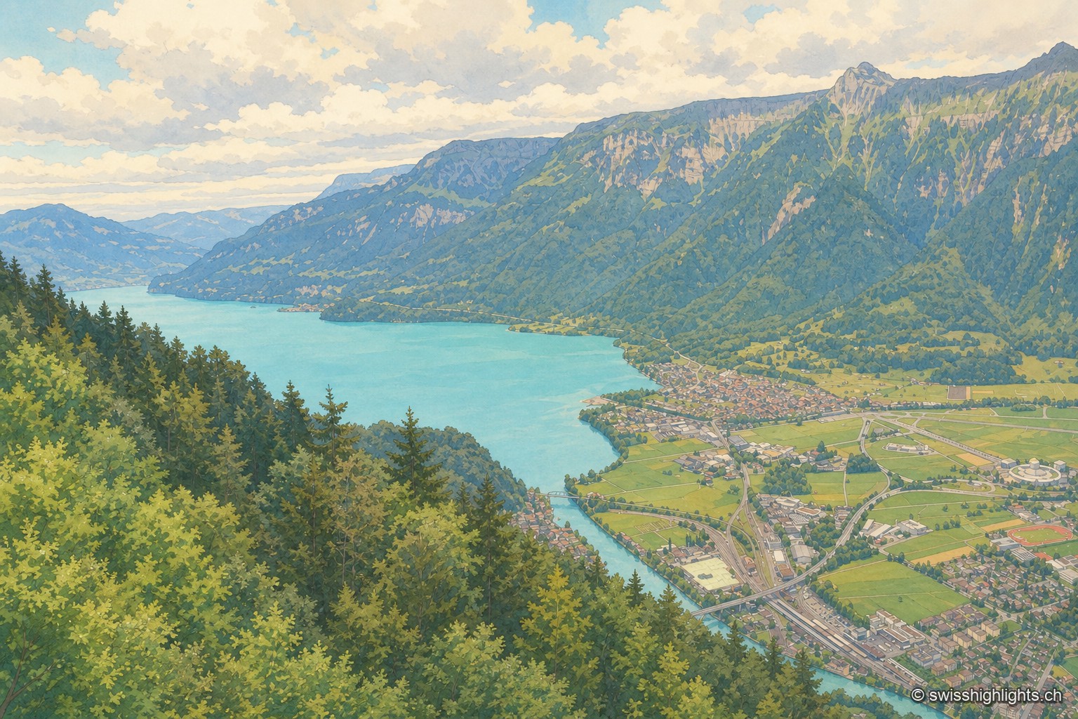
Town · Bernese Oberland · 1 km as the crow flies
Interlaken
A municipality of 6,123 inhabitants on a flat tongue of land four kilometres wide between two lakes. Its Latin name dates only from 1891: before that it was Aarmühle, the mill on the Aare.
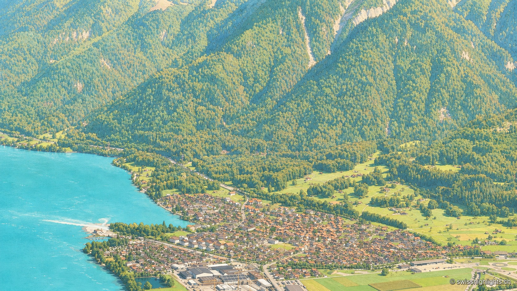
Bernese village · Lake Brienz · 3 km as the crow flies
Bönigen
Bönigen, at the mouth of the Lütschine into Lake Brienz, was an imperial fief of the barons von Eschenbach ceded to Interlaken convent in 1261; the village refused the Protestant Reformation in 1528 and today has 2,786 inhabitants.
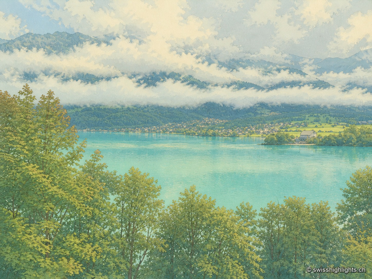
Glacial lake · Bern · 8 km as the crow flies
Lake Brienz
No lake in Bern runs deeper. Its colour comes from the glacial milk the Aare and the two Lütschine unload into it — 300,000 tonnes of particles a year: near blue in winter, milky grey in high August.