Glacial lake · Bern
Lake Brienz
At 564 metres, fifteen kilometres of milky water between slopes that fall straight in, on the Aare's course out of the Bernese Oberland.
Lake Brienz lies in a narrow trough of the Bernese Oberland, between the village of Brienz to the east and Bönigen to the west. Fifteen kilometres long, two and a half wide, some thirty square kilometres of surface, held at 564 metres. Its shores drop straight below the waterline, with no submerged beach: no other lake in the canton of Bern reaches such depth. The Aare crosses it — the first lake on its course — before running on to Interlaken and Lake Thun; the two Lütschine, down from Grindelwald and Lauterbrunnen, also flow in. The Giessbach falls come down on the southern shore, and Iseltwald pushes its islet, the Schnäggeninseli, out into the water.
The lake's colour comes not from the sky but from what the rivers carry into it. Its catchment covers 1,134 square kilometres at a mean altitude of 1,950 metres; more than half of it is barren — scree and glaciers — and erosion delivers 300,000 tonnes of mineral particles every year. This rock dust, the glacial milk, sets the hue: the water is almost blue and clear in winter, turns green as the snow melts, then shifts to milky grey in high August. A drop stays 980 days before leaving, and the bed of sediment, over 350 metres thick, gains two centimetres a year — at that rate the basin will be filled in 13,000 years.
In a single generation the lake has become one of the leanest in Switzerland. After phosphate was banned from detergents in 1986 and the catchment was fitted with treatment plants, its phosphate content dropped below one microgram per litre from 2001, a record among the country's large lakes. Zooplankton grew scarce and the brienzlig, a whitefish found nowhere else, carries the mark: at four years old these fish measured 26 centimetres for 200 grams, they now manage 18 for 40 grams. The whitefish catch, above 15 kilos per hectare around 1980, has fallen back to one kilo. The bed also holds 280 tonnes of munitions dumped in 1948-1949 at 180 to 200 metres; the sediments carry only traces of them, 100 to 1,000 times below legal limits, and the decision was taken to leave them there.
The steep slopes long imposed the boat: until the 19th century, cattle going up to the summer pastures and stone quarried at Goldswil travelled by water. The shift came in stages — first steamboat in 1839, an unbroken road along the north shore in 1865, a railway established between 1872 and 1916, the A8 motorway on the south shore since 1988. Lake traffic did not survive as a trade; it survives as a way of crossing.
Why this place is remarkable
Few lakes show so plainly the work of the rivers that fill them: here the hue changes with the season, from the clear blue of winter to the milky grey of August, because the Aare and the Lütschine unload 300,000 tonnes of particles a year. The shores plunge without a ledge, the basin is the deepest in the canton of Bern, and the surface has frozen only once in written memory, in 1356.
History and origin
The lake occupies a tectonic fracture overdeepened by the glacier of the Aare valley: at the last glacial maximum the ice stood here between 1,600 and 1,800 metres, and the rock floor drops to 400 metres below sea level. Freed of ice some 16,000 years ago, it then formed a single body of water with Lake Thun, about sixty kilometres long, from Meiringen to Uttigen; it was the alluvium of the Lütschine that separated them by building the Interlaken plain. In the Middle Ages the water was an imperial fief shared by the barons of Ringgenberg and the Eschenbach, before the convent of Interlaken gathered the whole of it between 1146 and 1439. In 1434 a weir built in the Aare to feed a mill closed the fish route and drowned the Brienz plain in marsh. The rights passed to Bern at the Reformation, to the canton in 1803, to the Confederation in 1848.
What to do and see
- Observe the changing color of the water, from the clear blue of winter to the milky gray of August, caused by particles carried by the Aare and the Lütschine rivers.
- See the Giessbach falls tumbling down the lake's southern shore.
- Spot, from Iseltwald, the small Schnäggeninseli islet rising out of the water.
- Follow with the eye the slopes that plunge straight into the water, with no submerged shore, between Brienz and Bönigen.
Coming with family: what to know
- The water stays cold year-round, from 5 to 20 °C at the surface, averaging 10.85 °C.
As a couple
- A moment facing the lake to observe its color, which changes with the season under the effect of glacial silt.
- The Giessbach falls, on the southern shore, as a distinctive viewpoint.
- The Schnäggeninseli islet at Iseltwald, a small landmark on the water's edge.
- The steep slopes that fall directly into the lake, to follow along the shore.
The shores fall sheer almost everywhere and the lake offers virtually no rising bed: there is no gentle slope into the water.
The water stays cold all year — 5 to 20 °C at the surface, for a mean of 10.85 °C, low even for a pre-Alpine lake.
The shores drop steeply almost everywhere and the lake offers almost no gradually rising floor: entry into the water is not gentle.
Location
Loads an interactive Google Maps view on demand, from the place's verified coordinates.
The embedded map will be enabled once an authorized Google Maps key is configured. Use the link above in the meantime.
The map could not load. Check your connection or use the link above to open the place in Google Maps.
Related places
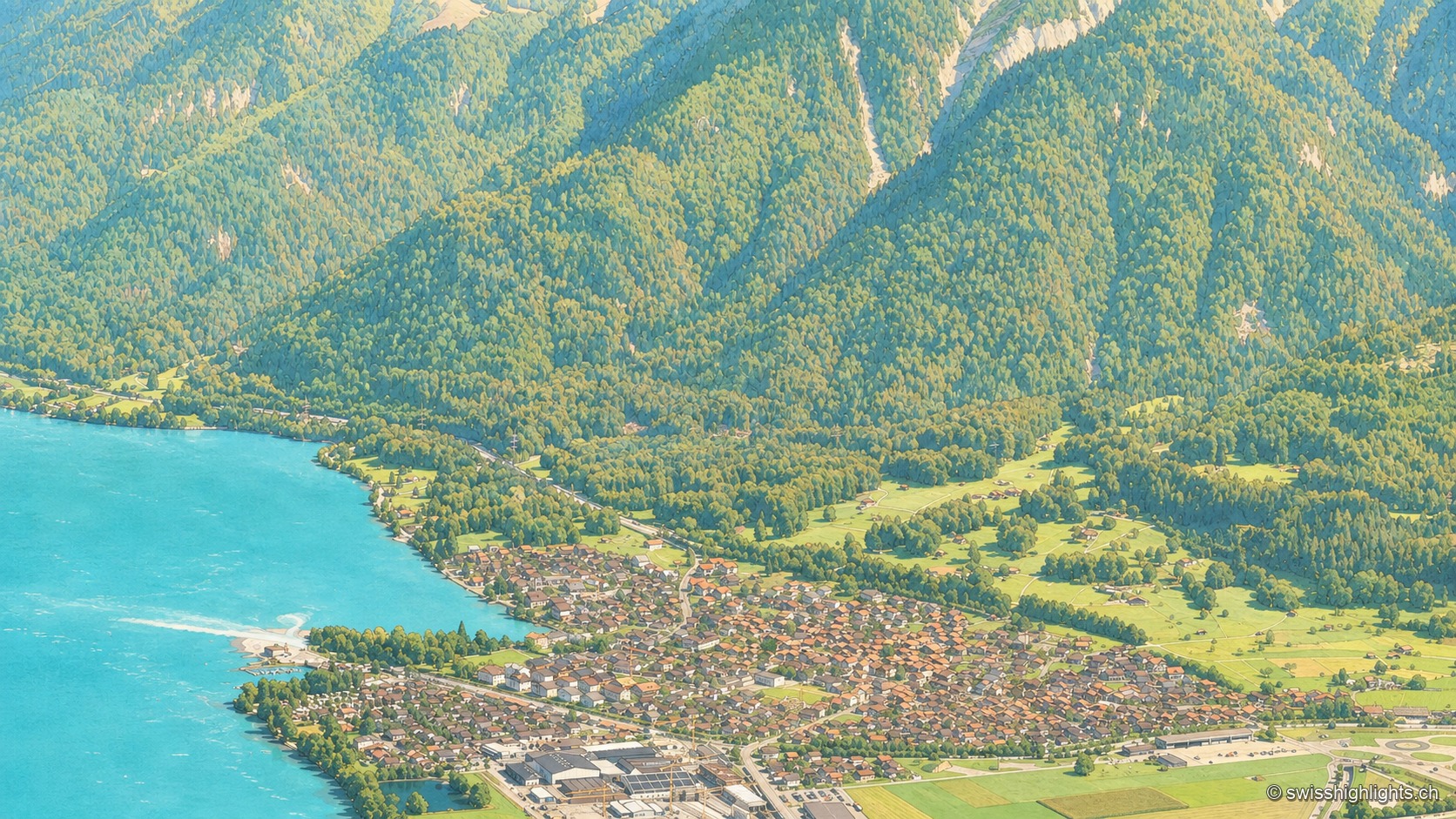
Bernese village · Lake Brienz · 5 km as the crow flies
Bönigen
Bönigen, at the mouth of the Lütschine into Lake Brienz, was an imperial fief of the barons von Eschenbach ceded to Interlaken convent in 1261; the village refused the Protestant Reformation in 1528 and today has 2,786 inhabitants.
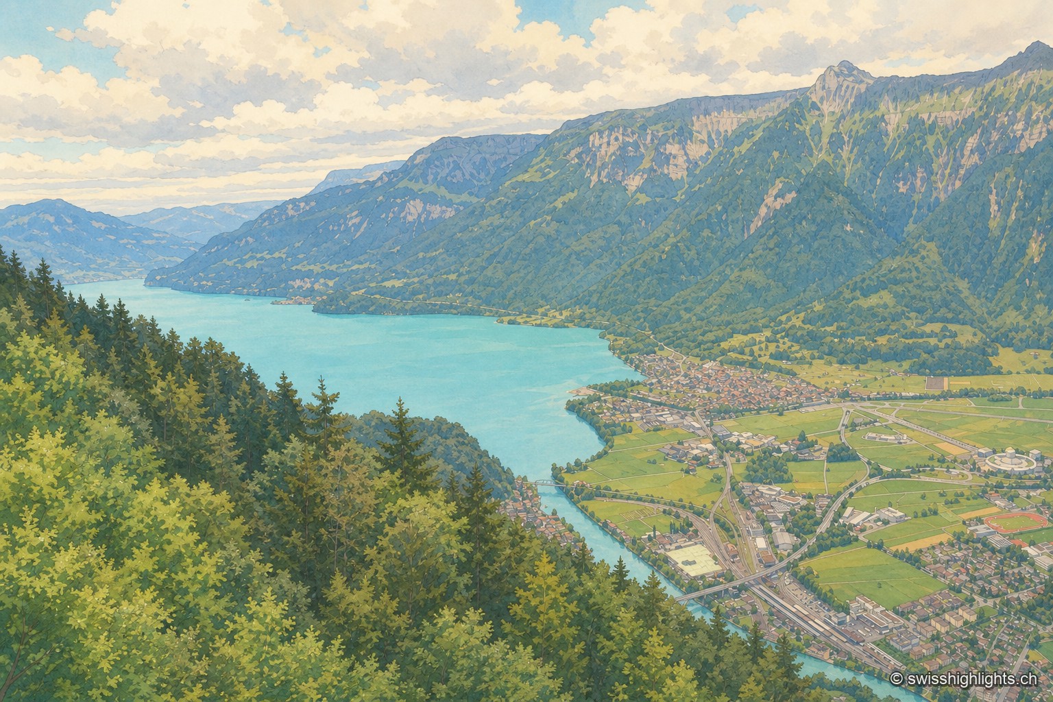
Town · Bernese Oberland · 7 km as the crow flies
Interlaken
A municipality of 6,123 inhabitants on a flat tongue of land four kilometres wide between two lakes. Its Latin name dates only from 1891: before that it was Aarmühle, the mill on the Aare.
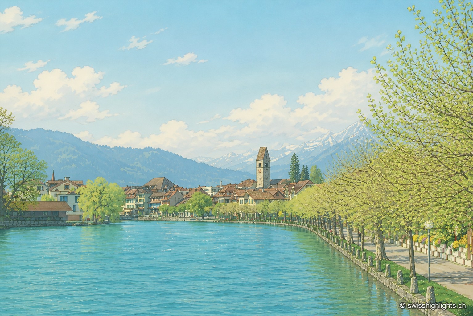
Bödeli town · Bern · 8 km as the crow flies
Unterseen
Built on the north bank of the Aare facing Interlaken, Unterseen burned in 1364 and again in 1470; Bern had it rebuilt around a central town house. Its log façades date from the seventeenth to the nineteenth century.