Village · Val Rovana, Ticino
Bosco/Gurin
The highest village in Ticino, at 1,506 metres at the head of the Val Rovana, and the canton's only traditionally German-speaking commune.
Bosco/Gurin closes the Val Rovana, a branch of the upper Vallemaggia, some 35 kilometres north-west of Locarno. The village stands at 1,506 metres and the communal territory rises to 2,856 metres at the Pizzo Biela. What strikes first are the roofs: broad stone slabs laid like scales, over houses rendered white or built of dark timber, packed along the slope. The bell tower of the church of Saint James and Saint Christopher, whose core goes back to the thirteenth century and which was rebuilt in 1581, marks the centre.
The village was born of a migration. Walser founded the colony in the thirteenth century and brought an Alemannic speech with them. Two routes are given in the same account without being reconciled: an arrival from the Upper Valais, or an arrival from the Italian Val Formazza around 1240. The outcome is not in dispute: Bosco/Gurin has remained the only commune in Ticino German-speaking by tradition, and the isolation, which held until the early twentieth century, kept archaic features in the dialect.
The population figures tell the rest. The village had 420 inhabitants in 1858, 220 in 1955, 72 in 2005. Language followed the same course: according to the federal censuses, 82% of the commune's inhabitants were German-speaking in 1970, 33% in 2000. The path over the Guriner Furka pass still crosses the ridge towards the Valais.
One of the village houses holds the Walserhaus, a museum of Walser culture; in the church, the south chapel keeps a rococo altarpiece and a statue of the Virgin. Since the 1970s an east-facing ski area has been added, its appeal resting on the high-mountain setting and the remoteness rather than on the size of the lifts. Access is by the Val Rovana road, served by a bus line from Cevio.
Why this place is remarkable
Bosco/Gurin is where a medieval migration can still be read in the language and in the roofs. Founded by Walser and first mentioned in writing in 1253, the village has remained the only commune in Ticino German-speaking by tradition; its isolation, which held until the early twentieth century, preserved forms in the dialect that Alemannic has lost elsewhere. At 1,506 metres it is also the highest village in the canton, and only 72 people were living there in 2005.
History and origin
The 1253 mention is not a founding charter but a consecration: it records that the village church was consecrated by a priest of the Order of Friars Minor attached to the church of San Giorgio in Locarno, and it names the place Lo Busco de Quarino. Political attachment changed later than language did: from 1798 to 1803 the commune belonged to the canton of Lugano, and thereafter to Ticino.
What to do and see
- Observe the village roofs, broad stone slabs laid like scales on houses rendered white or built of dark timber.
- Visit the Walserhaus, a museum devoted to the Walser culture that founded the village.
- Follow the path to the Guriner Furka pass, which crosses the ridge into Valais.
- Look in the church for the Rococo altarpiece and the statue of the Virgin kept in the south chapel.
Coming with family: what to know
- The village is the highest in Ticino, at 1,506 metres, and the municipal territory rises to 2,856 metres at the Pizzo Biela.
As a couple
- Walk through the only German-speaking municipality in Ticino, founded by Walsers in the 13th century.
- Look at the bell tower of the Church of St James and St Christopher, rebuilt in 1581 on a 13th-century core.
- Take the Val Rovana road to the village, off the beaten track, 35 kilometres northwest of Locarno.
Location
Loads an interactive Google Maps view on demand, from the place's verified coordinates.
The embedded map will be enabled once an authorized Google Maps key is configured. Use the link above in the meantime.
The map could not load. Check your connection or use the link above to open the place in Google Maps.
Related places
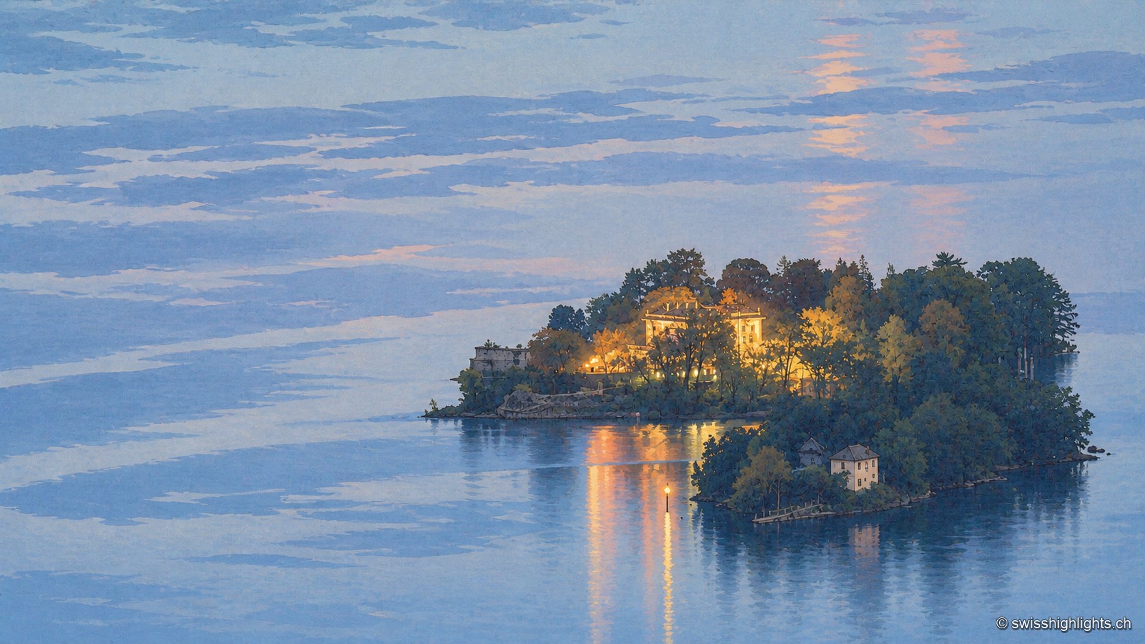
Botanical islands · Ticino · 27 km as the crow flies
Brissago Islands
San Pancrazio, the larger, carries a subtropical garden and is reached by boat. Sant'Apollinare, the smaller, stays closed and keeps the ruins of a Romanesque church. The canton of Ticino and five partners bought them in 1949.
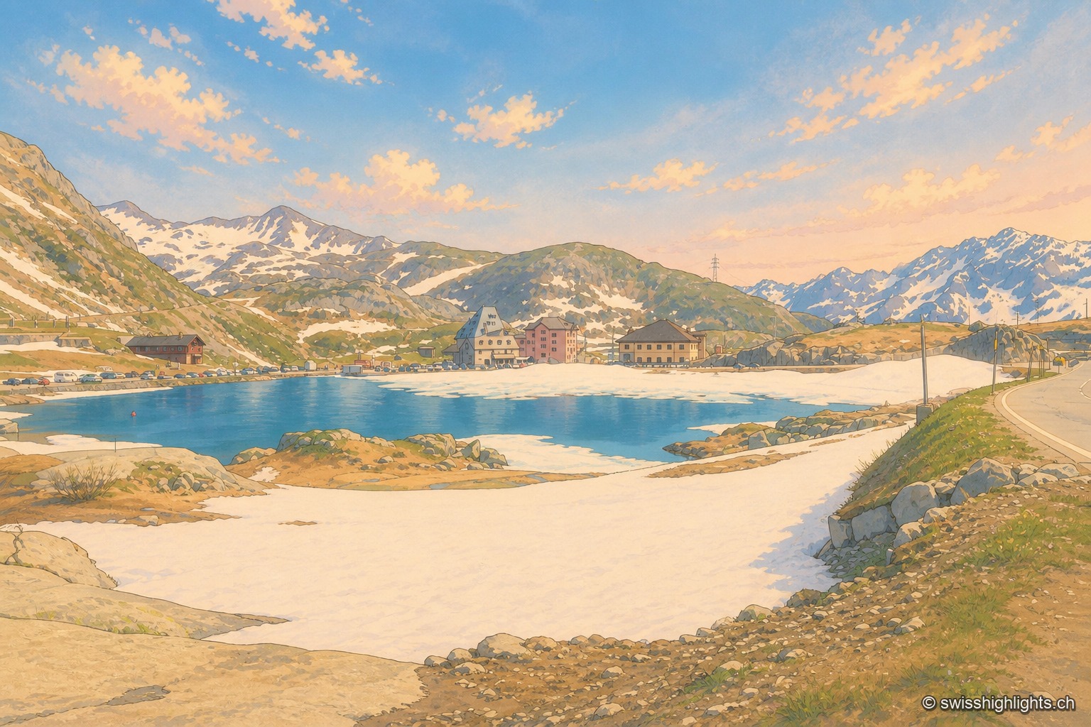
Alpine pass · Uri – Ticino · 27 km as the crow flies
Gotthard Pass
Opened around 1220, the crossing linked the Po plain to northern Europe and weighed on the beginnings of the Confederation. A hospice recorded from 1237, the old cobbled Tremola road, the Sasso da Pigna fort turned museum.
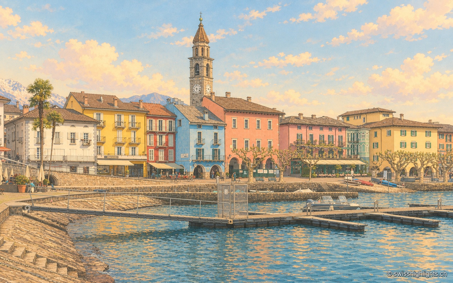
Lakeside town · Ticino · 28 km as the crow flies
Ascona
A row of painted houses closes the square that opens onto the lake, behind the campanile of Santi Pietro e Paolo. On the hill stand the light-and-air huts of 1901-1902 and the hotel of 1926-1928.