Alpine pass · Uri – Ticino
Gotthard Pass
A road pass at 2,107 metres between Andermatt and Airolo, in a wide glacial basin strewn with lakes and granite slabs.
The Gotthard Pass crosses the Swiss Alps at 2,107 metres and links Andermatt, in the canton of Uri, to Airolo, in the canton of Ticino. The high point is not a narrow notch but a wide glacial basin strewn with lakes and granite slabs, holding the former hospice, a hotel, a restaurant, a shop and a museum. A retaining dam was built in this basin.
Two roads run down from the summit to Airolo: the tremola vecchia, the old one, almost entirely cobbled, and the more recent tremola nuova. The name of the pass refers to Godehard of Hildesheim; the crossing itself is thought to have opened around 1220, helped by the building of the Devil's Bridge. Its advantage over the other central Alpine passes lay in a relatively low altitude and in short, easy approach valleys.
This shortcut mattered. It carried most of the direct exchange between northern Switzerland, Ticino and Italy, linking the Po plain to northern Europe and contributing to the prosperity of Milan as much as of Zurich. The canton of Uri gained a new importance from it, and possible transit dues: its dependence on Rudolf II of Habsburg, count of Zurich, was bought back in 1231 in the name of Frederick II, and imperial immediacy was granted to it. The first confederation of cantons took shape at the end of the thirteenth century around Lake Lucerne and towards Ticino — the pass is not unconnected to it.
The buildings at the pass keep the trace of that long use. A small sanctuary was raised in the ninth or tenth century, a chapel was consecrated in 1230, and the hospice is first recorded in 1237. After an avalanche in 1774 the building was rebuilt in stone and given an octagonal stable. The old souste, built from 1834 to 1837 to plans by Domenico Fontana and recognisable by its arcaded portico, served as a customs post and goods depot before taking in wealthy travellers from 1866; it now houses the Gotthard national museum.
Why this place is remarkable
The Gotthard owes its place to a favourable geometry rather than to height: only 2,107 metres, a line lower than that of the neighbouring central Alpine passes, and short approach valleys on both sides. The place held artists as much as merchants: Goethe stayed with the Capuchins here in November 1779 and gave the pass a passage of his Letters from Switzerland; Turner painted it in watercolour in 1842-1843. The Tour de Suisse, for its part, crossed it thirty-seven times between 1933 and 2014.
History and origin
The hospice changed hands several times. Capuchin fathers administered it; Federico Borromeo installed a priest there in 1602, then had a house built for travellers between 1623 and 1629. The Albergo Monte Prosa, raised to plans by A. Regli, opened in 1886. In the twentieth century the pass also became a military position: the Sasso da Pigna artillery fort was built in 1941 and 1942, and has since been turned into a museum. During the second half of that century, the Swiss army dumped obsolete munitions in the lake near the pass.
What to do and see
- Compare the two roads descending toward Airolo: the Tremola vecchia, almost entirely paved, and the Tremola nuova.
- Explore the old Sust, built between 1834 and 1837 and recognisable by its arcaded portico, which houses the National Gotthard Museum.
- Observe, in the broad glacial basin at the summit, the lakes and granite slabs around the old hospice.
- Spot the Sasso da Pigna artillery fort, built in 1941-1942 and now turned into a museum.
Coming with family: what to know
- The crossing follows a high-mountain road at 2,107 metres: snow cover dictates conditions, and road status should be checked before setting out.
As a couple
- Walk the Tremola vecchia, the old paved road, for a slower crossing of the pass.
- Visit the old Sust and its museum, housed in a building built to plans by Domenico Fontana.
- Observe the broad glacial basin and its granite slabs, a more open landscape than most alpine passes.
The crossing runs on a high mountain road at 2,107 metres: snow cover governs it, and the spring reopening depends on snow clearing. Road conditions are to be checked with official road information before setting out.
Obsolete munitions were dumped by the Swiss army in the lake near the pass during the second half of the twentieth century.
Obsolete munitions were dumped by the Swiss army in the lake near the pass during the second half of the 20th century.
Location
Loads an interactive Google Maps view on demand, from the place's verified coordinates.
The embedded map will be enabled once an authorized Google Maps key is configured. Use the link above in the meantime.
The map could not load. Check your connection or use the link above to open the place in Google Maps.
Related places
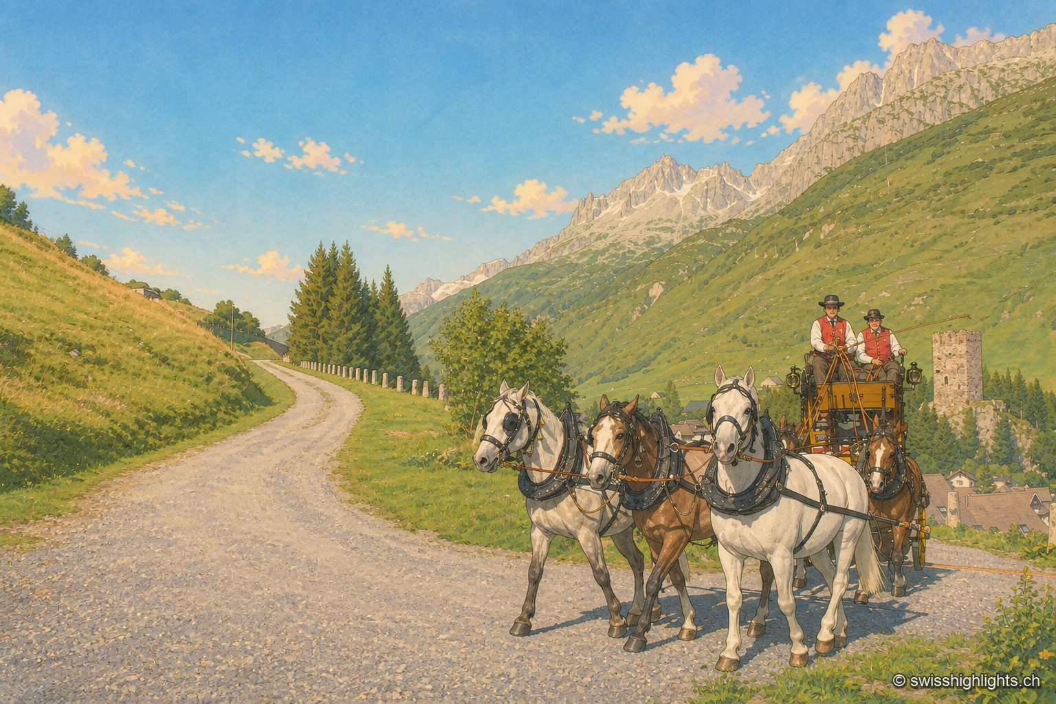
Gotthard village · Uri · 7 km as the crow flies
Hospental
182 inhabitants, a 13th-century tower emptied of its floors, timber houses rebuilt after the fire of 1669: Hospental stands where two torrents meet to become the Reuss.
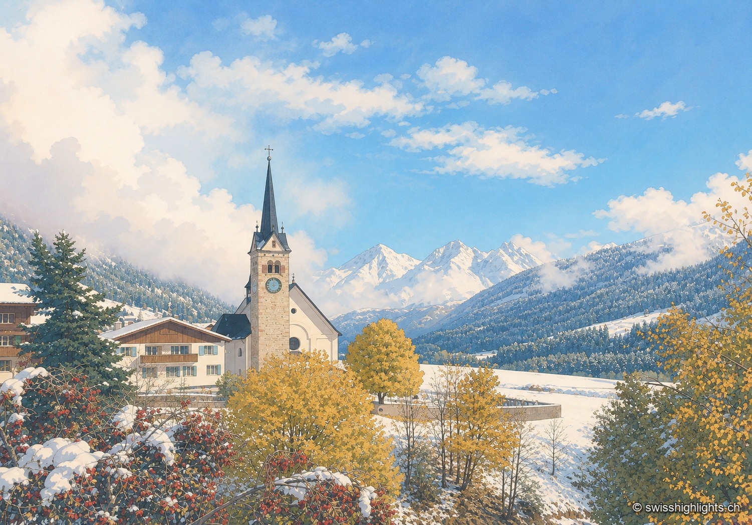
Village · Surselva, Grisons · 21 km as the crow flies
Sedrun
There has never been a village called Tujetsch: it was Sedrun, whose parish church was consecrated in 1205, that became the municipal capital. The Gotthard Base Tunnel runs beneath the municipality.
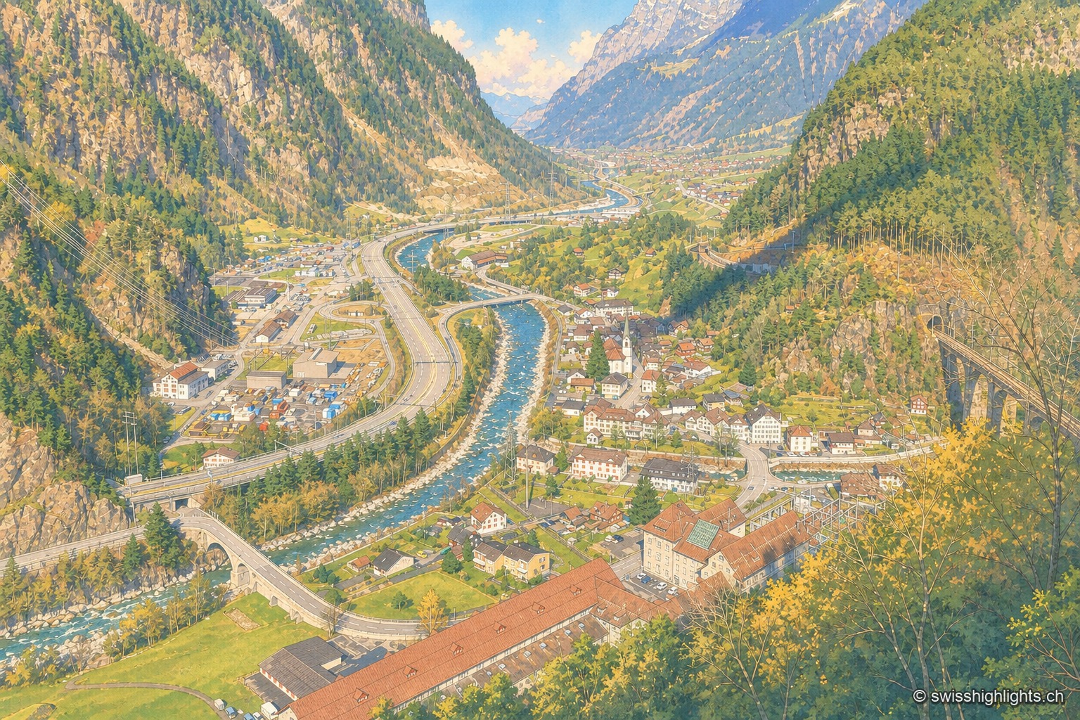
Transit village · Uri · 25 km as the crow flies
Amsteg
A staging post in the 18th century, ruined by the coming of the railway, revived in the 20th by hydroelectricity: the power station of 1922 was replaced in 1998 by a plant cut inside the mountain.