Surselva village · Grisons
Breil/Brigels
A Romansh village in the Surselva, set at 1,280 metres on a terrace above the Vorderrhein, below the Scatlè forest reserve.
Breil/Brigels occupies a terrace at 1,280 metres on the right side of the Vorderrhein valley, in the Surselva. The municipal territory rises northward to the watershed, towards the Bifertenstock, the Muttenstock and the Hausstock, and falls southward to the valley floor: the village itself, the parts of Danis-Tavanasa and Dardin-Capeder and the hamlet of Vàli belong to it. On 1 January 2018 Andiast and Waltensburg/Vuorz, until then independent municipalities, joined it.
North-west of the village, on the eastern slope of the Piz Dado, the Scatlè reserve has since 1911 left a spruce forest wholly unlogged, between 1,580 and 2,015 metres, beside the Flem in the lower Val Frisal. German-language sources give it as the highest primeval spruce forest in Europe — a claim no scientific source available here confirms.
The origin of the name is disputed: German sources attach it to the Celtic briga, the fortified height, English ones to brigilo, the little town. The place appears in 765 as Bregelo, in the will of Bishop Tello of Chur, who bequeathed the central farm of the village to Disentis Abbey; the church of St Mary and the chapel of St Eusebius passed to the abbey in turn in 1185, by papal confirmation. The tower of Marmarola, seat of the Latour family, burned in 1496 and remains a ruin. Plague struck twice: 316 dead in 1550 and 130 in 1631. In 1738 the inhabitants bought out the tithe rights.
The Waltensburg road, opened in 1870, ended the isolation and accompanied the beginnings of summer tourism. In 1943 the municipality gave up the German-only name Brigels for the double name Breil/Brigels; the building of the Pez d'Artgas lifts in 1972 turned it towards winter sport. Sursilvan remains the everyday language, the Son Sievi chapel is listed as cultural property of national significance, and since 2017 the village has belonged to the association Les plus beaux villages de Suisse.
Why this place is remarkable
The name alone tells the village's history: plain Brigels until 1943, then Breil/Brigels, Romansh first, in a municipality where Sursilvan has remained the everyday language. Above the roofs, the Scatlè reserve has since 1911 let a spruce forest grow old without felling between 1,580 and 2,015 metres, at an altitude where the forest is already near its limit.
History and origin
A hill fort stood on St Eusebius' hill before the name of the place entered the written record, in 765, as Bregelo: Bishop Tello of Chur then bequeathed the central farm to Disentis Abbey. The abbey held the church and the chapel from 1185, then the protection of the land and high justice. The tower of Marmarola burned in 1496. Plague carried off 316 people in 1550 and 130 in 1631. Buying out the tithe rights, in 1738, loosened the hold; the road of 1870, the change of name in 1943 and the lifts of 1972 completed the transformation.
What to do and see
- Walk to the Scatlè reserve, a spruce forest left uncut since 1911 between 1580 and 2015 metres.
- Look for the Son Sievi chapel, listed as a cultural property of national importance.
- Spot the ruins of the Marmarola tower, a residence of the Latour family burned down in 1496.
Coming with family: what to know
- The village sits on a terrace at 1280 metres, with a municipal territory that rises to the north up to the Bifertenstock, the Muttenstock and the Hausstock.
As a couple
- Stroll on the village terrace, dominated to the northwest by the eastern flank of the Piz Dado and the Scatlè reserve.
- As you stroll through the village, tell each other about the 1943 name change, when Brigels alone became Breil/Brigels, Romansh first.
- Follow the Waltensburg road, opened in 1870, which ended the village's isolation.
Location
Loads an interactive Google Maps view on demand, from the place's verified coordinates.
The embedded map will be enabled once an authorized Google Maps key is configured. Use the link above in the meantime.
The map could not load. Check your connection or use the link above to open the place in Google Maps.
Related places
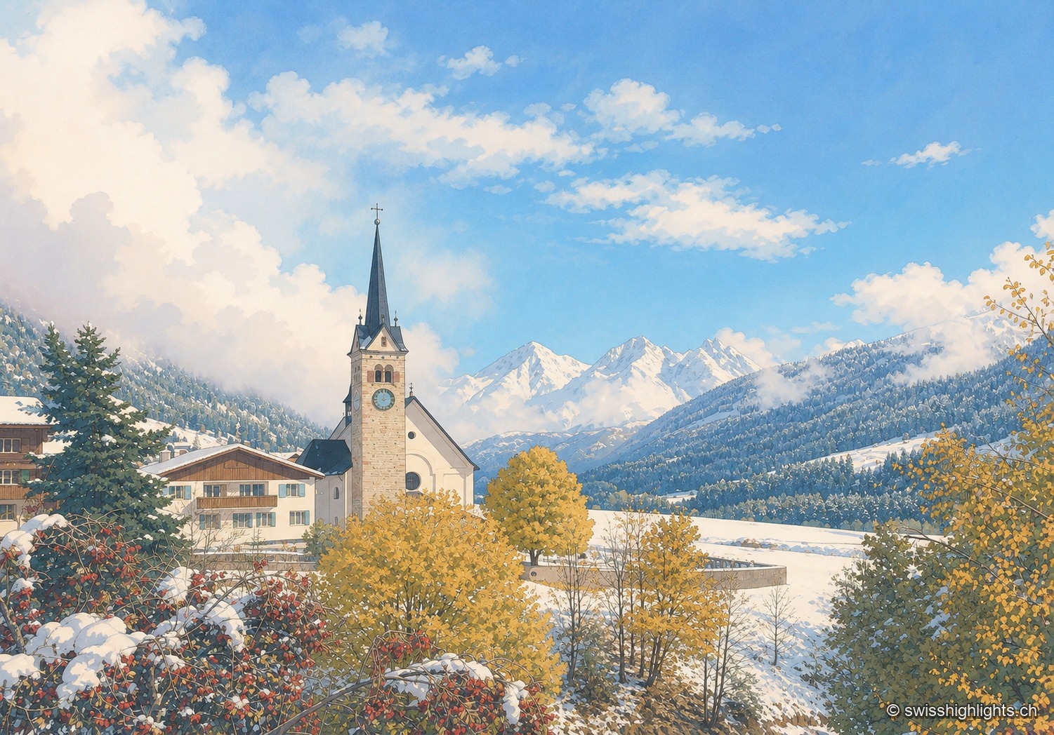
Village · Surselva, Grisons · 23 km as the crow flies
Sedrun
There has never been a village called Tujetsch: it was Sedrun, whose parish church was consecrated in 1205, that became the municipal capital. The Gotthard Base Tunnel runs beneath the municipality.
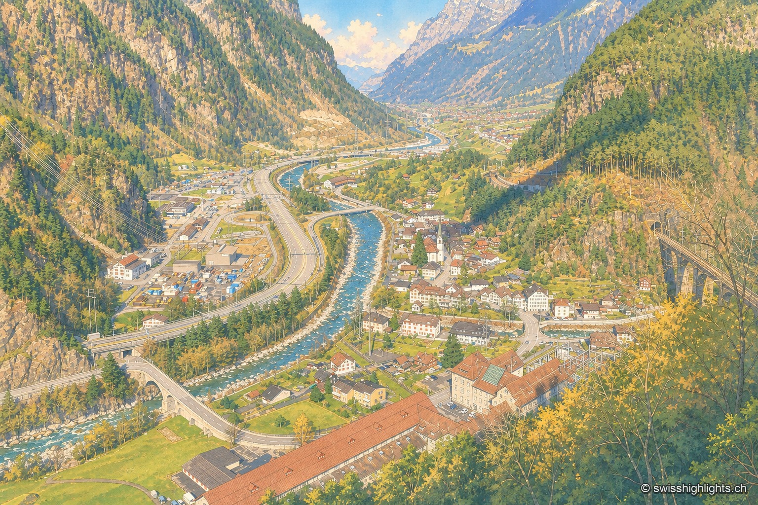
Transit village · Uri · 29 km as the crow flies
Amsteg
A staging post in the 18th century, ruined by the coming of the railway, revived in the 20th by hydroelectricity: the power station of 1922 was replaced in 1998 by a plant cut inside the mountain.
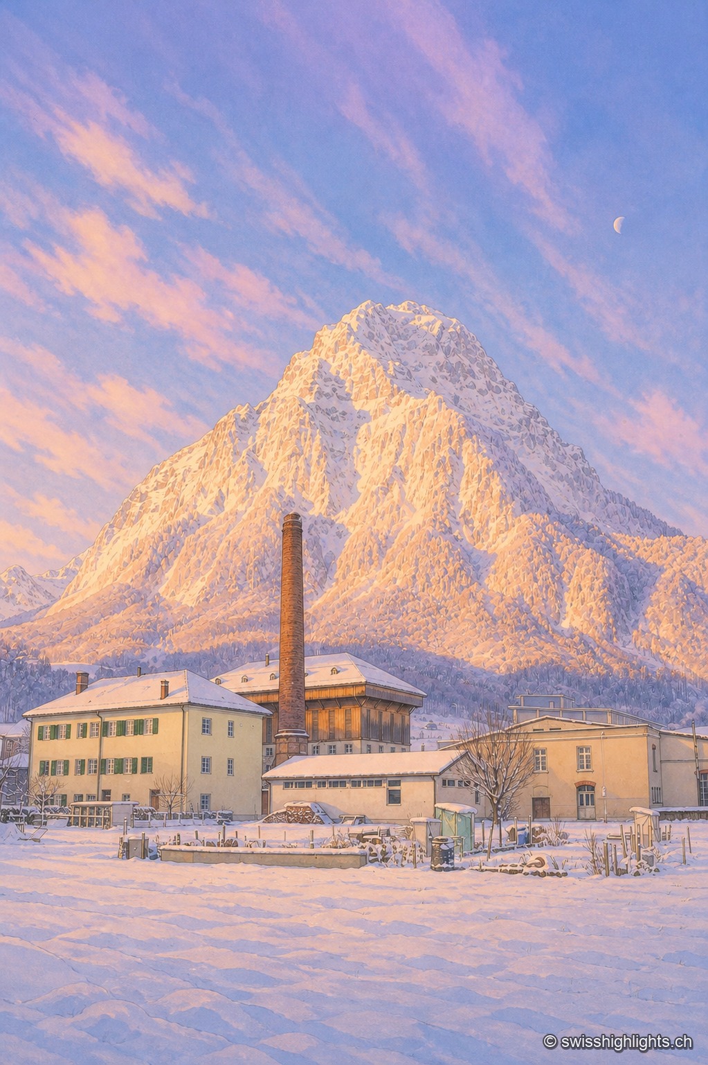
Former industrial village · Glarus · 30 km as the crow flies
Ennenda
2,684 inhabitants, a Gemeindehaus built like a palace in 1889-1890, the chocolate maker Läderach: Ennenda, merged into Glarus since 2011, was carried first by the slate-table trade, then by textiles.