Former industrial village · Glarus
Ennenda
A former Glarus commune merged into Glarus in 2011; the slate-table trade made it, in the 19th century, the richest commune in Switzerland.
Ennenda is a former commune of the canton of Glarus, folded since 1 January 2011 into the commune of Glarus, together with Netstal and Riedern. Its territory, covering 22.23 km², includes the localities of Ennetbühls, Oberdorf, Sturmigen and Ennetberge; it borders Filzbach, Glarus, Mitlödi, Mollis, Netstal, Obstalden and Sool. Ennenda faces Glarus across the right bank of the Linth, at the foot of the Schilt; its lowest point, the Alpenbrückli, sits at 462 m, while the Schwarzstöckli, the commune's highest point on the border with Sool, reaches 2,348 m — the Hächlenstock, at 2,316 m, being the highest summit lying entirely within the commune's boundaries. The land breaks down into 35.5% farmland, 37.7% forest, 3.8% built-up ground and 22.9% unproductive ground; the commune counted 2,684 inhabitants at the end of 2024, a density of 121 per km².
The mountains above Ennenda were formed during the main overthrust of the Glarus Alps (the Glarner Hauptüberschiebung); a distinctive rock, Verrucano, is found almost exclusively here within the Glarnerland. The lower slopes bear the mark of huge boulders that have crashed down over the centuries — the best known is the Gesslerstein — and the risk of debris flows and rockfall persists; protective walls and channels, built south of the commune, divert rock, debris and water into the Linth when needed. To the north, the Kalkfabrik Netstal quarries a limestone deposit.
The place-name appears in the 14th century in a land register of the Habsburgs and of Säckingen as 'Obront und Nydern Ennent-A' — Ennet-A, 'beyond the river'. The village owed dues to the abbey of Säckingen from 1395, and the Reformation was introduced in 1528. The use of water power — mill, saw, hemp and flax stamping mill — is attested from 1417. From 1616, Jakob Bellersheim, from Hesse, began making slate tables; the trade flourished from the mid-17th to the mid-18th century, employing most households in the village in production and export, and turned Ennenda into a trading village whose firms — the Wienerhandlung Jenny-Aebli & Co. from 1750, Markus Oertli & Sohn in Riga, the Holländer Handelsgesellschaft Weber-Aebli & Co. — operated across Europe. The Reformed church was built in 1774, after a blizzard kept residents from reaching services in Glarus at Christmas 1773; the parsonage followed in 1775.
After the trading houses declined, textile printing and other industries moved in, and Ennenda's residents invested heavily well beyond their own village. The canton's first schoolhouse was inaugurated here in 1832. By the late 19th century Ennenda had become the richest commune in Switzerland, a wealth reflected in its Gemeindehaus, built in 1889-1890 by architects Jacques Kehrer and Karl Knell — chosen from 31 competition entries, at a cost of 180,000 francs of the time — and in the Villastrasse; around 1900 there was no income tax, costs being covered by the factories and their owners. In 1879 a three-track station opened in Ennenda with the Glarus-Linthal line. The chocolate maker Läderach, founded in 1962 and today with more than 700 employees worldwide, is headquartered in Ennenda.
Why this place is remarkable
Ennenda, today a part of the commune of Glarus, was in the late 19th century the richest commune in Switzerland — a fortune built on the slate-table trade, then on textiles, still reflected in its Gemeindehaus, a communal palace raised in 1889-1890 for 180,000 francs. The village sits at the foot of slopes where Verrucano rock and rockfall have shaped the landscape as much as the factories did; today it is the chocolate maker Läderach, founded in 1962, that has its headquarters here.
History and origin
The place-name appears in the 14th century in a land register of the Habsburgs and of Säckingen as 'Obront und Nydern Ennent-A'. From 1616, Jakob Bellersheim, from Hesse, introduced the making of slate tables there; this trade, flourishing from the mid-17th to the mid-18th century, turned Ennenda into a trading village whose firms operated across Europe. After its decline, the textile industry took over, and Ennenda became, by the late 19th century, the richest commune in Switzerland: the canton's first schoolhouse opened here in 1832, and the Gemeindehaus, built in 1889-1890, remains its most visible witness. Geologically, the neighbouring mountains were formed during the main overthrust of the Glarus Alps, which exposed Verrucano, a rock found almost only here within the Glarnerland; the rockfall risk it sustains gave its name to the Gesslerstein, the best known of the boulders fallen into the valley.
What to do and see
- Observe the Gemeindehaus, built in 1889-1890 by architects Jacques Kehrer and Karl Knell, a witness to Ennenda's prosperity at the end of the 19th century.
- Stroll along the Villastrasse, inherited from the period when the slate-table trade, then textiles, enriched the village.
- Spot the Gesslerstein, the best known of the large boulders that fell from the slopes of the Schilt over the centuries.
- Locate the headquarters of the chocolate maker Läderach, founded in 1962, now based in Ennenda.
Coming with family: what to know
- The village, today a district of the commune of Glarus, can be visited on foot between the Gemeindehaus and the wooded slopes of the Schilt.
As a couple
- Compare the Gemeindehaus, a communal palace from 1889-1890, with the older trading houses, active throughout Europe as early as 1750.
- Stroll at the foot of the Schilt, where verrucano, a rock almost unique to the Glarnerland, has shaped the landscape.
- Follow the story of the slate-table trade, introduced in 1616 by Jakob Bellersheim, which for a time made Ennenda the richest commune in Switzerland.
Location
Loads an interactive Google Maps view on demand, from the place's verified coordinates.
The embedded map will be enabled once an authorized Google Maps key is configured. Use the link above in the meantime.
The map could not load. Check your connection or use the link above to open the place in Google Maps.
Related places
Village split by a canal · Glarus/SG · 11 km as the crow flies
Ziegelbrücke
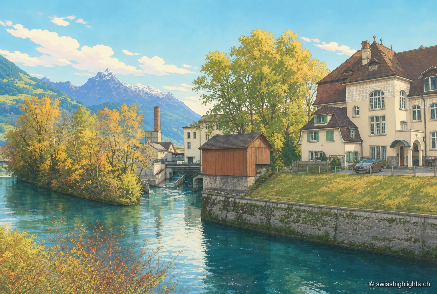
The Linth Canal splits Ziegelbrücke in two: station and railway junction on the St. Gallen side, the Fritz & Caspar Jenny mill (1833), listed in the ISOS inventory, on the Glarus side.
Surselva village · Grisons · 30 km as the crow flies
Breil/Brigels
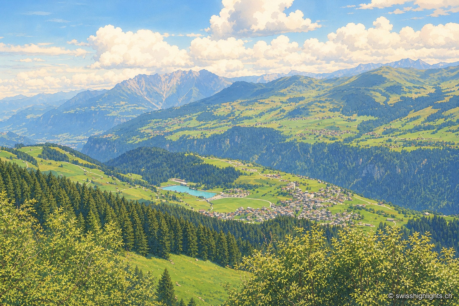
Recorded in 765 as Bregelo, the village has carried its double Romansh and German name since 1943. Above it a spruce forest has been left unlogged since 1911, between 1,580 and 2,015 metres.
Monastic island · Lake Zurich · 30 km as the crow flies
Ufenau
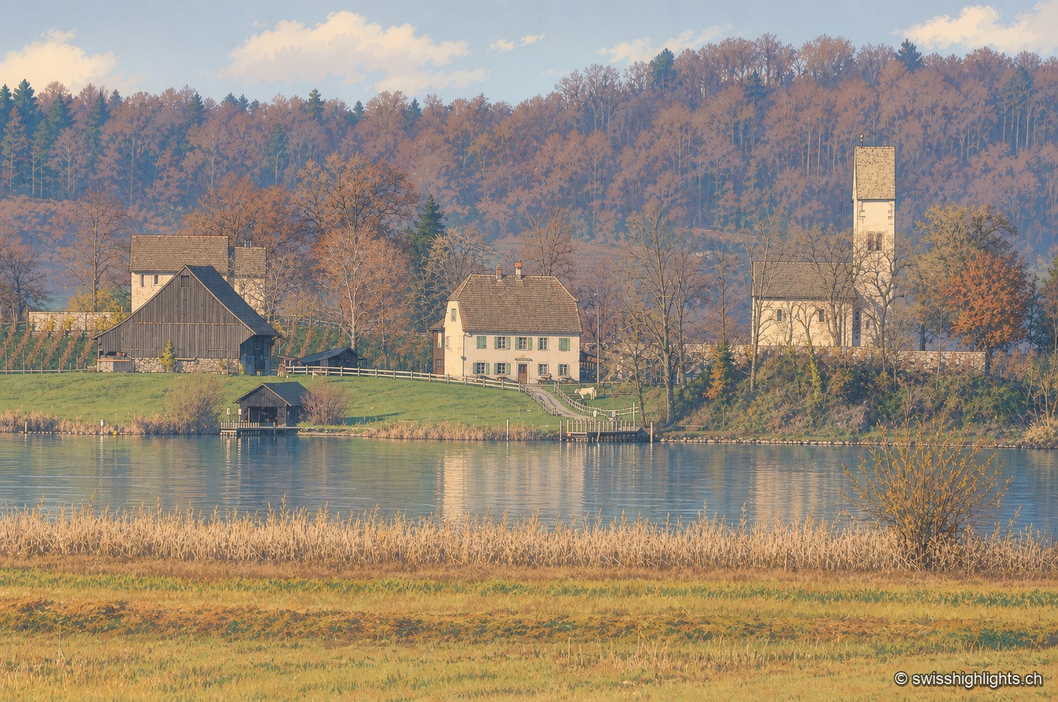
Otto I gave the island to Einsiedeln Abbey in 965. The church of Saints Peter and Paul was consecrated in 1141. Knight Ulrich von Hutten died here in 1523. In 2012, the site's protected status blocked a restaurant by Peter Zumthor.