Small town · Aargau
Bremgarten
A Habsburg foundation in a bend of the Reuss, seat of its district, where two fairs have been held for more than 750 years.
Bremgarten occupies a bend of the Reuss, at 386 metres, and serves as the seat of the Aargau district that bears its name. From the far bank the town reads as a single piece: a covered wooden bridge crosses the river on the left, a weir bars the current across its whole width, and the built front climbs from the bank to the packed roofs of the town, topped by a clock tower and two church spires. The town is a Habsburg foundation; it absorbed its neighbour Hermetschwil-Staffeln on 1 January 2014 and joined the association Les plus beaux villages de Suisse in 2017.
It is the markets that give Bremgarten its character, and they are old. The Easter market, held on Easter Monday and doubled with a farm-machinery market, and the Whitsun market, held on Whit Monday, go back more than 750 years. The old-town market takes up two days at the end of October and is devoted to craftwork. The most recent is the Christchindlimärt: created in 1995, it runs over four days at the beginning of December, gathers more than 300 stalls and more than 100,000 visitors, and passes for the largest Christmas market in the country. Weekly markets are held for much of the year besides.
The town also has a more recent and less consensual history. In June 1990 young people occupied a textile factory left empty for sixteen years. The KulturZentrum Bremgarten association — the KuZeB — was founded the following year, with Zurich's Wohlgroth as its avowed model, and has rented the building since 1992. It programmes concerts from international alternative scenes, readings and political talks. The look of the building continues to be poorly accepted by part of the population, which the source notes plainly.
Why this place is remarkable
Bremgarten is a market town in the strict sense, and has been for a very long time: two of its markets, at Easter and at Whitsun, have been held for more than 750 years, and the most recent of them, begun in 1995, draws more than 100,000 visitors on its own over four days in December. At the other end of its history, a textile factory occupied in 1990 became a cultural centre that has rented its walls since 1992 and whose appearance still divides the inhabitants. Between the two, the bend of the Reuss and its covered wooden bridge have not moved.
History and origin
The town is a Habsburg foundation and now serves as a regional centre, seat of the district of Bremgarten. Its territory grew on 1 January 2014 with the absorption of the neighbouring commune of Hermetschwil-Staffeln. The altitude records do not agree exactly: two values coexist, 386 and 389 metres, depending on the reference point taken.
What to do and see
- Watch from the opposite bank the built front of the Reuss loop, the covered wooden bridge, the weir and the tight-packed roofs of the old town.
- Cross the Reuss on the covered wooden bridge that spans the river at the foot of the town.
- Picture the Easter and Whitsun markets, held for more than 750 years in the same town.
Coming with family: what to know
- The Christchindlimärt, created in 1995, brings together more than 300 stalls and more than 100,000 visitors over four days in early December.
As a couple
- Follow the loop of the Reuss that encloses the town, between the covered wooden bridge and the weir that blocks the current.
- Look for the KuZeB, a cultural centre set up in 1992 in a former textile mill occupied in 1990.
- Head to the old town, a Habsburg foundation admitted in 2017 among the most beautiful villages of Switzerland.
Location
Loads an interactive Google Maps view on demand, from the place's verified coordinates.
The embedded map will be enabled once an authorized Google Maps key is configured. Use the link above in the meantime.
The map could not load. Check your connection or use the link above to open the place in Google Maps.
Related places
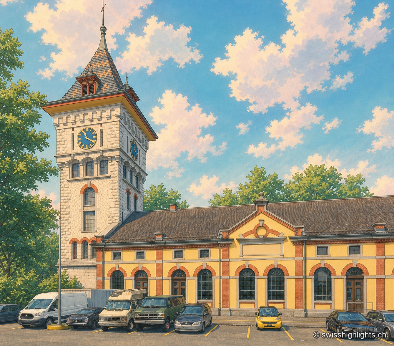
Former gasworks · Zurich · 11 km as the crow flies
Schlieren Gasworks
Opened in 1898 and expanded through 1909, the Schlieren gasworks produced up to 250,000 m³ of gas a day before closing in 1974. Its gasometer now houses a museum and a working steam engine.
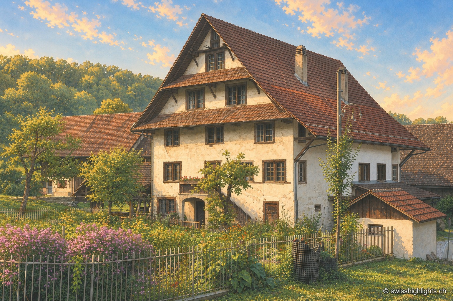
Historic mill · Stallikon, Zurich · 13 km as the crow flies
Aumüli
Probably built in the 9th century and recorded from 1328, the Aumüli keeps its water right, wheel and sawmill. Listed in 1993 and added to the ISOS register in 2012, it has milled spelt again since 2007.
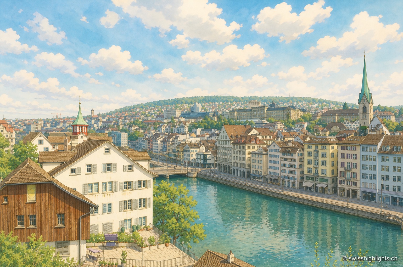
Cantonal capital · Zurich · 15 km as the crow flies
Zurich
433,989 inhabitants in December 2023, a river people swim across in summer, a 869-metre summit at the end of a train line: Zurich fits into a corridor three to four kilometres wide.