Cantonal capital · Zurich
Zurich
Switzerland's most populous city, set at 408 metres in a glacial valley where the Limmat leaves Lake Zurich.
Zurich lies on the floor of an old glacial valley, at the northern end of Lake Zurich and some thirty kilometres from the Alps. Building follows the north-west to south-east axis of the Limmat valley, over a width of only three to four kilometres; the river, canalised and diverted in places, runs along the northern flank rather than down the middle. The centre stands at 408 metres, the lowest point of the municipality at 392 metres, and the Uetliberg closes the west-south-western horizon at 869 metres, a summit from which the view reaches over the city and, in clear weather, as far as the Alps.
The Limmat is born from the lake in the heart of the city, before the Sihl joins it. In 2015 the United States Department of Agriculture named it the cleanest urban river in Europe; people swim in it in summer, between the built-up quays. A third watercourse, artificial and laid out in a zigzag, completes the pattern: the Schanzengraben, dug in the 17th and 18th centuries to protect the city's westward extension.
The name of the place is older than the city. A 2nd-century tombstone found at the Lindenhof — the knoll that still overlooks the river — records a Roman customs station called Turicum; the Latin forms Turigum (807), then Zurih (857) and Zurich (924), follow. Celts were here before Rome, from the first half of the 1st century BC: the grave of a high-ranking woman who died around 200 BC, her coffin carved from a tree trunk, came to light in 2017.
The municipality covers 87.88 km², of which 4.1 km² is lake, and counted 433,989 inhabitants in December 2023. That extent is recent: before 1893 the territory fitted into 1.69 km², today's Kreis 1, the old town. Two waves of mergers, in 1893 and then in 1934, added nineteen neighbouring communes. What remains is twelve districts and 34 quarters, many of which still bear the name of the village they absorbed: Wiedikon, Oberstrass, Altstetten, Schwamendingen.
Why this place is remarkable
Zurich bathes in its own river: the Limmat, named in 2015 the cleanest urban river in Europe by the United States Department of Agriculture, leaves the lake between the quays of the city centre and is swum across in summer. Yet the country's most populous city fits into a corridor three to four kilometres wide, between the Uetliberg at 869 metres and a line of hills rising from the Hönggerberg (541 m) to the Adlisberg (701 m) as the Alps draw nearer.
History and origin
The site is a valley carved by ice, closed to the west by the wooded Albis range and to the north by a line of hills separating the Limmat and Glatt basins. Zurich became a free imperial city in 1218 and joined the Confederation in 1351, where the prosperity of its textile crafts and the purchase of neighbouring lordships gave it weight. Ulrich Zwingli introduced the Reformation there from 1519; a Protestant patriciate then governed city and canton until the liberal revolution of 1830.
What to do and see
- See the Limmat flow out of the lake at the heart of the city, named Europe's cleanest urban river in 2015.
- Climb the Lindenhof hill, where a 2nd-century Roman tombstone attests to the station of Turicum.
- Follow the Schanzengraben, an artificial zigzag moat dug in the 17th and 18th centuries.
- Look from the Uetliberg, at 869 metres, for the view over the city and, on a clear day, the Alps.
Coming with family: what to know
- The clean Limmat is a summer bathing spot between the built-up quays of the centre.
As a couple
- Bathe or stroll along the Limmat, between the quays of the city centre.
- Climb the Lindenhof, a Roman hill above the river.
- Take in the view from the Uetliberg, at 869 metres, all the way to the Alps on a clear day.
- Recognise, in the districts of Wiedikon or Altstetten, the names of villages absorbed in 1893 and 1934.
Location
Loads an interactive Google Maps view on demand, from the place's verified coordinates.
The embedded map will be enabled once an authorized Google Maps key is configured. Use the link above in the meantime.
The map could not load. Check your connection or use the link above to open the place in Google Maps.
Related places
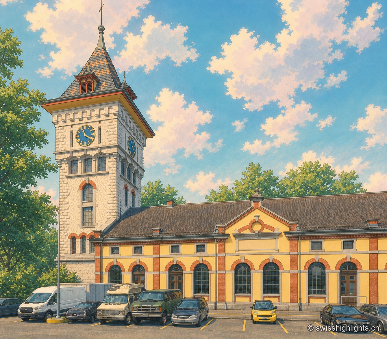
Former gasworks · Zurich · 7 km as the crow flies
Schlieren Gasworks
Opened in 1898 and expanded through 1909, the Schlieren gasworks produced up to 250,000 m³ of gas a day before closing in 1974. Its gasometer now houses a museum and a working steam engine.
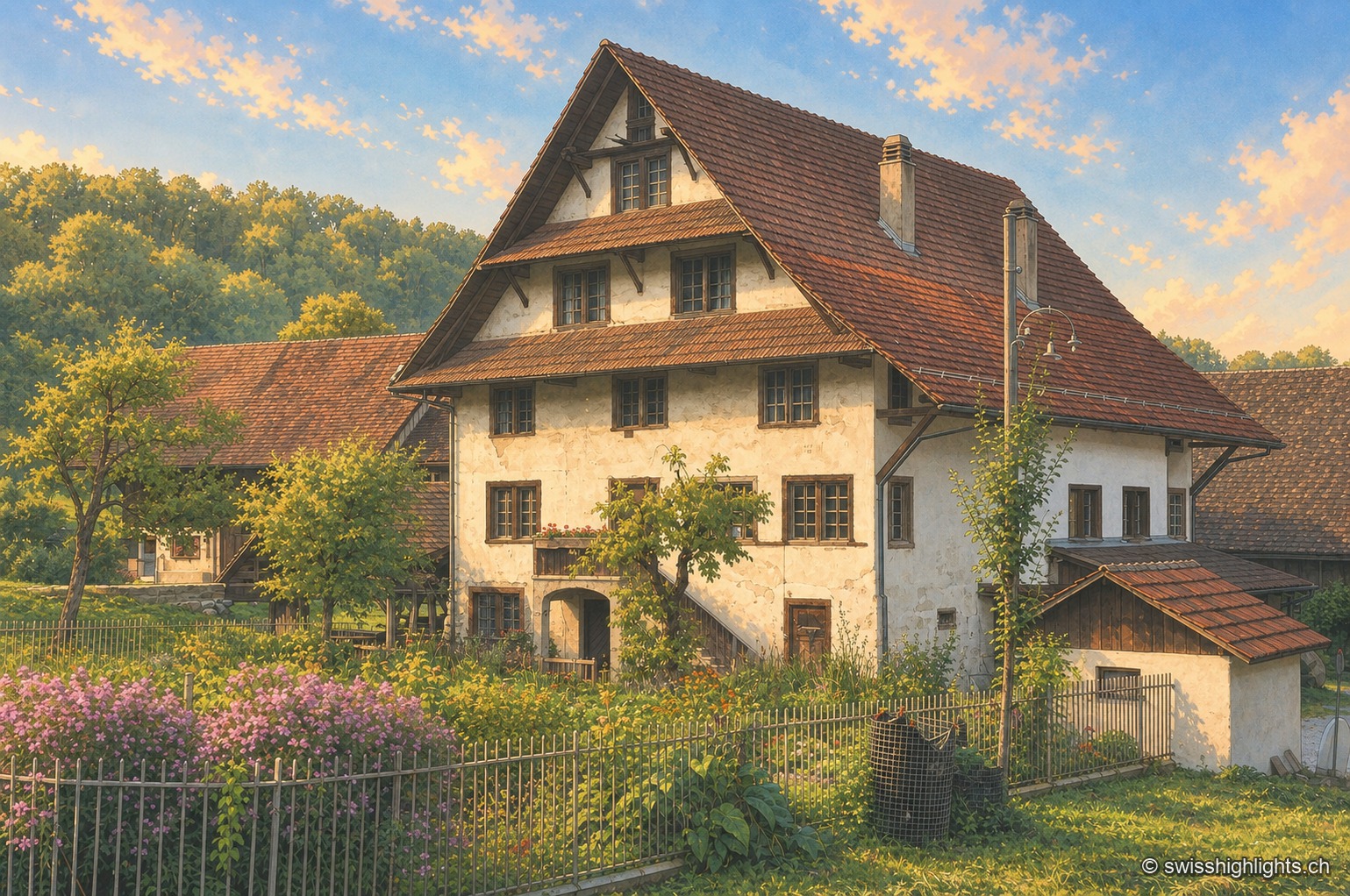
Historic mill · Stallikon, Zurich · 9 km as the crow flies
Aumüli
Probably built in the 9th century and recorded from 1328, the Aumüli keeps its water right, wheel and sawmill. Listed in 1993 and added to the ISOS register in 2012, it has milled spelt again since 2007.
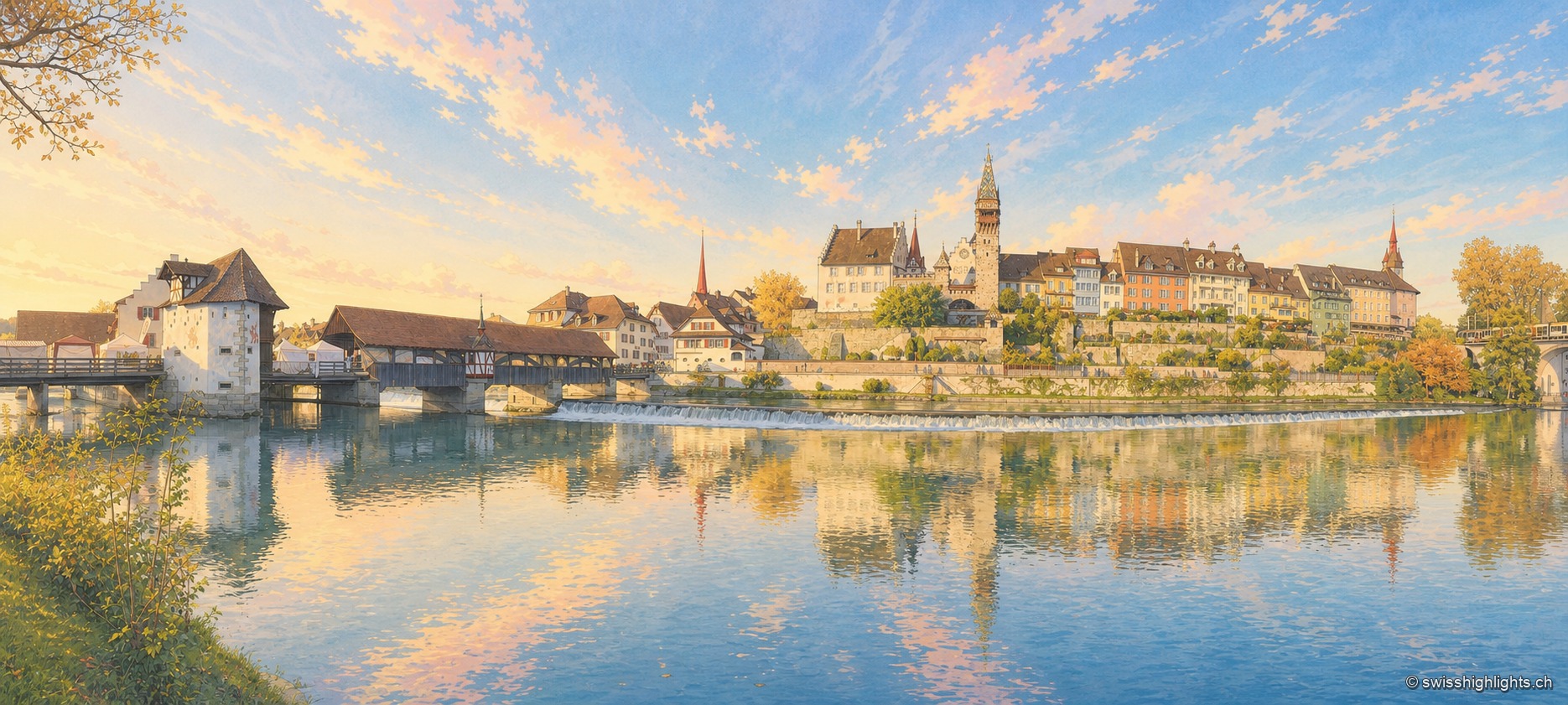
Small town · Aargau · 15 km as the crow flies
Bremgarten
The old town sits in a bend of the Reuss, still crossed by a covered wooden bridge. Four great markets set the year: those of Easter and Whitsun are over 750 years old, and the Christmas market, begun in 1995, lines up more than 300 stalls.