Medieval small town · Seeland
Büren an der Aare
A covered wooden bridge crosses the Aare below an arcaded town that has held its town charter since 1260.
Büren an der Aare occupies a tongue of land wedged between the river and the hillside, at 443 metres, in the administrative district of Seeland. Before the Jura water correction works, a ditch ran all the way round it; today the old town backs onto the Nidau–Büren canal. Most of the town fits into a single street lined with arcades and painted façades, closed at one end by the castle of the Bernese bailiffs, now the seat of the district administration. The commune had 3,806 inhabitants on 31 December 2024, over 12.7 square kilometres.
The covered wooden bridge is the structure that has been begun again most often. A crossing has stood here since the 13th century; floods, ice drifts and fires have destroyed it eight times. Bernese troops burned it in 1798 as the French advanced, and the bridge rebuilt in 1821 lasted until 5 April 1989, when an arson attack left nothing but the deck structure. The ninth structure was handed over to traffic in 1991; its form was drawn by Peter Travaglini, a sculptor settled in the town.
The history of the place is that of a contested crossing point. The name appears in the record in 1185, the town charter is granted in 1260 and confirmed in 1288, and Bern takes the town in 1388 before making it the seat of a bailiwick from 1393 to 1798. Two town fires, in 1921 and 1925, gave the old town its present shape. From 1940 to 1946 the Swiss army ran the largest internment camp in Switzerland in a bend of the Aare, away from the town: one hundred and twenty barracks sized for five to six thousand people, interned soldiers first, then Jewish refugees and escaped forced labourers.
Why this place is remarkable
What Büren offers to the eye rests first on a structure: a covered wooden bridge set on masonry piers in mid-river, its low line closing the view from either bank. It is not a relic spared by time — it is the ninth version of a crossing begun again since the 13th century and destroyed eight times by water, ice or fire, the last in 1989. Behind it, the town fits into one arcaded street and keeps a charter granted in 1260.
History and origin
The town grew out of a crossing on the Aare. Founded in the 12th century by the lords of Strassberg and mentioned in 1185, it received its town charter in 1260, confirmed in 1288. In 1375 the last count of Nidau, Rudolf IV, died here defending the town against the Gugler; Bern seized it in 1388. The commune absorbed Reiben in 1911. South of the town, excavations carried out from 1992 to 1997 on the Chilchmatt site brought to light an occupation going back to the Bronze Age and an important place of pilgrimage in the late Middle Ages. The town was admitted in 2017 to the association Les plus beaux villages de Suisse.
What to do and see
- Cross the covered wooden bridge, the ninth structure on this site since the 13th century, designed by sculptor Peter Travaglini after the 1989 fire.
- Walk along the street with arcades and painted façades, closed off by the Bernese bailiffs' castle, today the seat of the district administration.
- Picture the town rights granted in 1260 and confirmed in 1288, which fixed the town's status.
Coming with family: what to know
- The old town today backs onto the Nidau-Büren canal, on a strip of land between river and hillside.
As a couple
- Watch the low line of the covered wooden bridge resting on its masonry piers, mid-stream in the Aare.
- Stroll through the town admitted in 2017 among the most beautiful villages of Switzerland.
- As you cross the bridge together, recall its turbulent history: destroyed eight times by water, ice or fire, including the arson attack of 1989.
Location
Loads an interactive Google Maps view on demand, from the place's verified coordinates.
The embedded map will be enabled once an authorized Google Maps key is configured. Use the link above in the meantime.
The map could not load. Check your connection or use the link above to open the place in Google Maps.
Related places
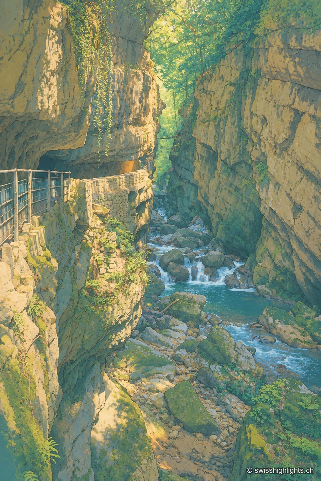
Limestone gorge · Biel, Bern · 8 km as the crow flies
Gorges de la Suze
A footpath was laid out there in 1889; the gorge was placed under partial nature protection from 1927. The name Taubenloch, attested since 1532, remains of uncertain origin despite several competing explanations.
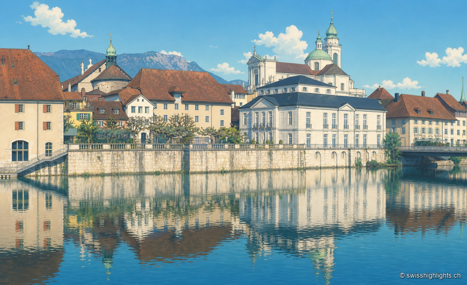
City of ambassadors · 15 km as the crow flies
Solothurn
Founded by Rome as Salodurum, admitted to the Confederation in 1481, Solothurn keeps towers and gates from the 15th-16th centuries around its baroque cathedral and its town hall, completed in 1711. 16,847 inhabitants at the end of 2024.
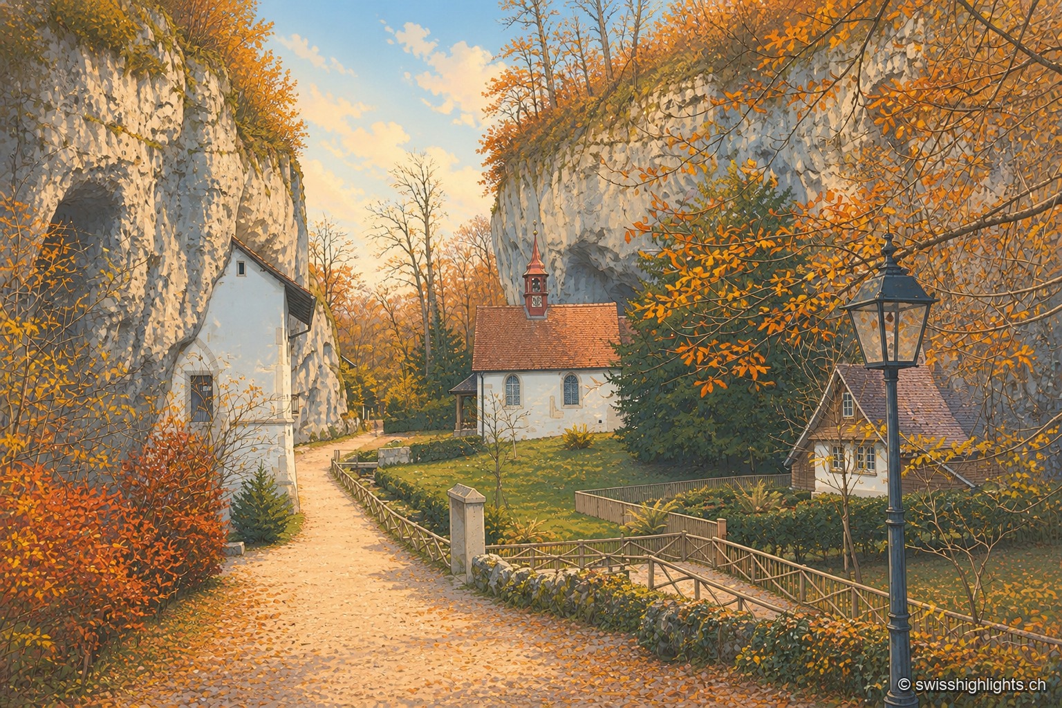
Gorge hermitage · Solothurn · 16 km as the crow flies
Gorges de Sainte-Vérène
Landscaped as a Romantic garden in the late 18th century by the French diplomat Louis Auguste Le Tonnelier de Breteuil, the gorge is ISOS-listed, and its hermitage is a class A Swiss cultural property.