Gorge hermitage · Solothurn
Gorges de Sainte-Vérène
A gorge below the Weissenstein sheltering a hermitage whose chapel dates in part from the 12th century, inhabited by a hermit since 1442.
The Gorges de Sainte-Vérène (Verenaschlucht) open at the foot of the Weissenstein, in the commune of Rüttenen, in the canton of Solothurn. It is listed in the Federal Inventory of Swiss Heritage Sites of National Importance (ISOS) as a cultural landscape; the hermitage it shelters, dedicated to Saint Verena, is a class A Swiss cultural property of national significance.
One of the hermitage's two chapels dates in part from the 12th century, making it the second-oldest building in the Solothurn area. The presence of a hermit there is first attested in 1442. In the late 18th century, the French diplomat Louis Auguste Le Tonnelier de Breteuil had the gorge landscaped into a Romantic-style garden, following the example of the Arlesheim hermitage near Basel and the Sanspareil rock garden in Upper Franconia; the site became a popular destination for outings. In the 19th century, numerous plaques and memorial stones were placed there in memory of Solothurn figures, including the geologist Amanz Gressly, giving the gorge the character of an open-air hall of fame. The path running through it is listed in the Inventory of Historic Traffic Routes of Switzerland as a route of national significance.
The hermit's upkeep has for centuries been funded by the Bürgergemeinde of Solothurn; in 2014 this amounted to 2,000 francs a month. In 2009, Sister Verena Dubacher became the first woman to hold the post of hermit at the site, succeeding Brother Johannes Leutenegger; Sister Benedikta Sigel succeeded her from mid-2014 to early 2016, before Michael Daum was elected the new hermit on 26 September 2016.
Why this place is remarkable
The Verena Gorge owes its character to the hermitage carved into the rock face, one of whose two chapels dates in part from the 12th century — the second-oldest building in the Solothurn area — and to the unbroken presence of a hermit attested since 1442. Landscaped into a Romantic garden in the late 18th century by the French diplomat Louis Auguste Le Tonnelier de Breteuil, then covered in the 19th century with memorial plaques to Solothurn figures, it has for centuries been funded by the Bürgergemeinde of Solothurn, which maintains the post of hermit to this day.
History and origin
One of the hermitage's two chapels dates in part from the 12th century. The presence of a hermit at the site known as 'ze sant Frenen' is first attested in 1442. In the late 18th century, the French diplomat Louis Auguste Le Tonnelier de Breteuil had the gorge landscaped into a Romantic garden, on the model of the Arlesheim hermitage near Basel and the Sanspareil rock garden in Upper Franconia. The site is listed in the Federal Inventory of Swiss Heritage Sites of National Importance (ISOS) as a cultural landscape, and the hermitage itself is a class A Swiss cultural property of national significance.
What to do and see
- Visit the hermitage carved into the rock face, one of whose two chapels partly dates back to the 12th century.
- Spot the numerous commemorative plaques and stones placed in the 19th century in memory of Solothurn personalities, including the geologist Amanz Gressly.
- Follow the gorge path laid out as a romantic landscaped garden at the end of the 18th century by the French diplomat Louis Auguste Le Tonnelier de Breteuil.
- Observe the route listed in the Inventory of Historic Traffic Routes of Switzerland.
Coming with family: what to know
- The site has no specific access information in the available data; check locally before visiting.
As a couple
- Walk through a gorge laid out as a landscaped garden as early as the 18th century, in the manner of the Arlesheim hermitage or the Felsengarten Sanspareil.
- Discover the hermitage inhabited without interruption since 1442, today occupied by Michael Daum, elected in 2016.
- Stop in front of the commemorative plaques that give the gorge the air of an open-air pantheon.
Location
Loads an interactive Google Maps view on demand, from the place's verified coordinates.
The embedded map will be enabled once an authorized Google Maps key is configured. Use the link above in the meantime.
The map could not load. Check your connection or use the link above to open the place in Google Maps.
Related places
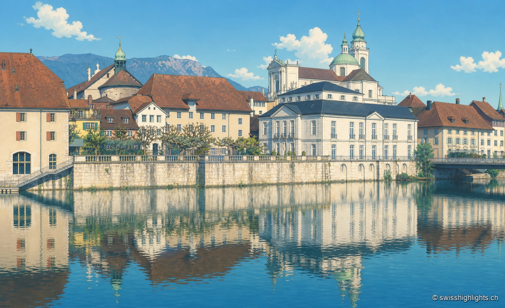
City of ambassadors · 2 km as the crow flies
Solothurn
Founded by Rome as Salodurum, admitted to the Confederation in 1481, Solothurn keeps towers and gates from the 15th-16th centuries around its baroque cathedral and its town hall, completed in 1711. 16,847 inhabitants at the end of 2024.
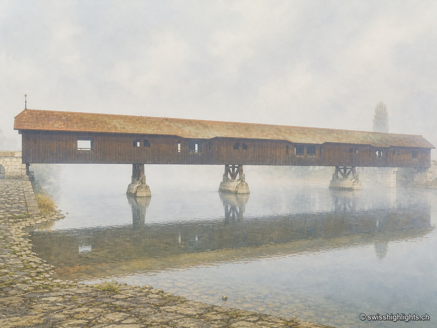
Medieval small town · Seeland · 16 km as the crow flies
Büren an der Aare
A timber crossing has linked the two banks since the 13th century. Destroyed eight times by floods, ice or fire, it is now in its ninth version, opened in 1991 after the arson of 1989.
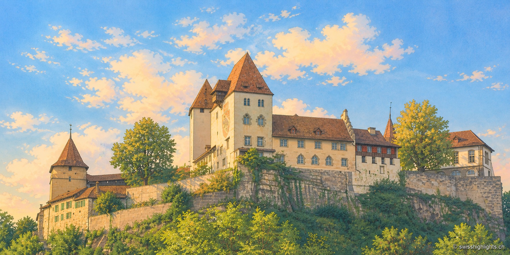
Emmental town · Bern · 20 km as the crow flies
Berthoud (Burgdorf)
The castle holds the sandstone spur above the town; its name appears as early as 1084. In 1273 the Goldene Handfeste set the town's law in writing, in force for five centuries. In 1899 the line to Thun made it a laboratory of electric traction.