Limestone gorge · Biel, Bern
Gorges de la Suze
A limestone cut two kilometres long that the Suze carved between Frinvillier and Boujean, also called the Taubenloch Gorge, at the edge of Biel.
The Gorges de la Suze, or Taubenloch Gorge, stretch for about two kilometres between Frinvillier, at 517 metres, and Boujean, at 447 metres, on the edge of Biel. They were carved over millennia by the Suze, which rises in Erguël, in the Saint-Imier valley, and reaches Lake Biel after crossing the Jura range.
The region was already settled in Roman times: the main road linking Rome to Switzerland ran through Aventicum, Murten, Kerzers and Kallnach before joining Solothurn and Windisch along the eastern shore of the Seeland, while a second road crossed the Grand Marais toward the settlement of Witzwil, between Lake Neuchâtel and Lake Murten. A branch, at the Roman fortification of Petinesca, ran up toward the Jura and, beyond it, Germania, passing through the Taubenloch Gorge, the Pierre-Pertuis pass and Augusta Raurica.
The name Taubenloch first appears in a document of 1532. Its origin remains debated: it has been linked to the doves (Taube) that once nested in the gorge, or to 'Daube', meaning a precipice or ditch; linguist Andres Kristol instead traces it to an older Alemannic form, 'Dubeloch', built on the Celtic root dubo- ('black'), also found in the Doubs river and the Douanne. A local legend instead recalls a girl nicknamed 'the dove', who is said to have thrown herself into the gorge to escape the tyrant of Rondchâtel.
A company created for the purpose laid out a footpath through the gorge in 1889; it was placed partly under nature protection from 1927. Rockslides have caused several temporary closures over the years, followed by safety works led among others by the City of Biel; the A16 Transjurane motorway now runs alongside the gorge on both sides, with two lanes climbing and two descending.
Why this place is remarkable
Over millennia the Suze cut a narrow slot through the first ridge of the Jura, one the Roman road already used to reach Germania via the Pierre-Pertuis pass. The name Taubenloch, attested since 1532, still sets learned etymology — a Celtic root meaning 'black' — against the legend of the girl nicknamed 'the dove'.
History and origin
The gorge was carved by the Suze through the first ridge of the Jura, between Frinvillier (517 m) and Boujean (447 m). The region was occupied from Roman times: a road linking the fortification of Petinesca to Germania ran through it, via the Pierre-Pertuis pass and Augusta Raurica. The place-name Taubenloch, attested since 1532, has received several competing explanations, including that of linguist Andres Kristol, who links it to the Celtic root dubo- ('black') rather than to doves (Taube). A footpath was laid out there in 1889, and the gorge was placed under nature protection from 1927.
What to do and see
- Walk the two kilometres of the footpath laid out in 1889 between Frinvillier and Boujean.
- Spot the route of the old Roman road that linked the fortification of Petinesca to Germania via the Pierre-Pertuis pass.
- Compare the competing explanations for the name Taubenloch, between the Celtic root dubo- and the legend of the young girl nicknamed 'the dove'.
- Observe the coexistence of the Transjurane A16 motorway, which runs along the gorge on both sides, with the landscape protected since 1927.
Coming with family: what to know
- Landslides have in the past caused several temporary closures of the path; check its status with the City of Biel/Bienne before setting off.
As a couple
- Follow the cut carved by the Suze through the first chain of the Jura, between Frinvillier and Boujean.
- Tell each other the legend of the young girl escaping the tyrant of Rondchâtel while walking along the torrent.
- Combine the walk with the gates of Biel/Bienne, very close to the eastern end of the gorge.
Rockslides have caused several temporary closures of the footpath in the past; current opening status should be checked with the City of Biel before visiting.
Location
Loads an interactive Google Maps view on demand, from the place's verified coordinates.
The embedded map will be enabled once an authorized Google Maps key is configured. Use the link above in the meantime.
The map could not load. Check your connection or use the link above to open the place in Google Maps.
Related places
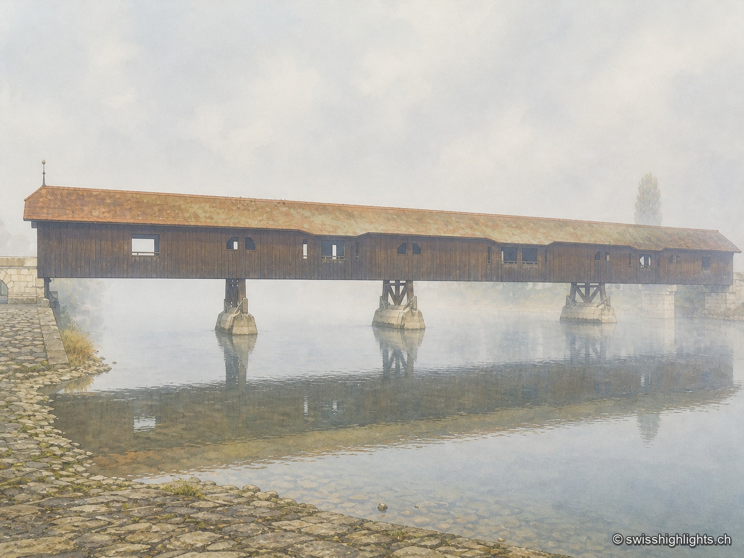
Medieval small town · Seeland · 8 km as the crow flies
Büren an der Aare
A timber crossing has linked the two banks since the 13th century. Destroyed eight times by floods, ice or fire, it is now in its ninth version, opened in 1991 after the arson of 1989.
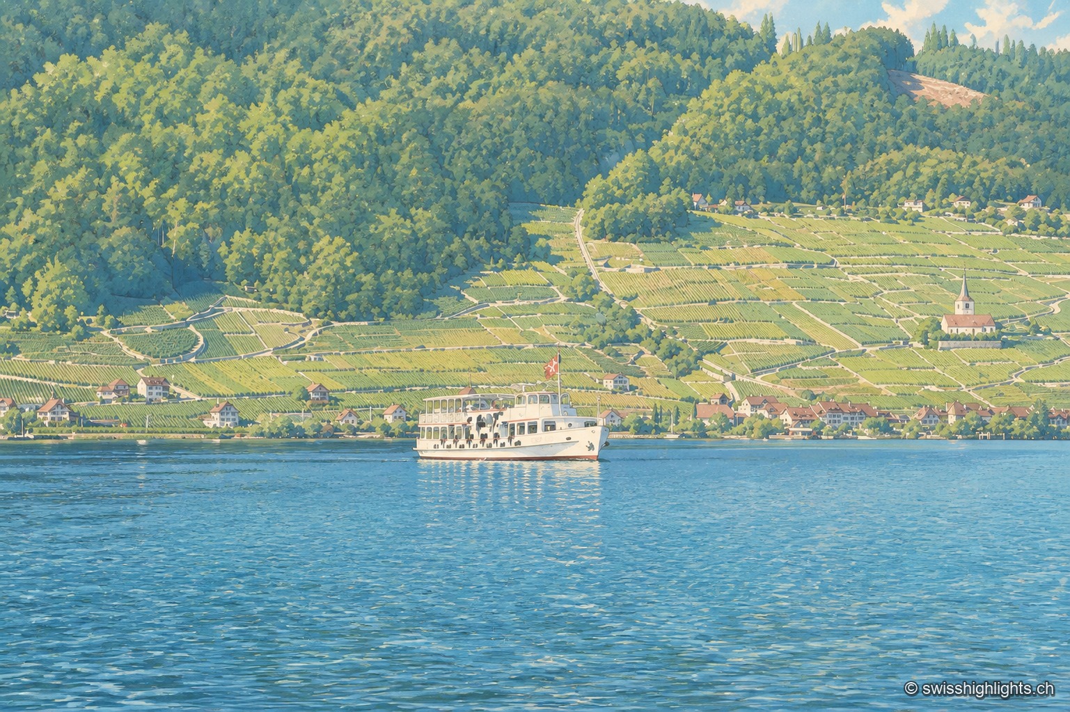
Lake at the foot of the Jura · Bern · 11 km as the crow flies
Lake Biel
39.3 km² of surface, 74 metres at its deepest, a catchment of 8,305 km² fed mainly by the Aare since 1878: Lake Biel is a landscape doubling as a piece of hydraulic engineering.
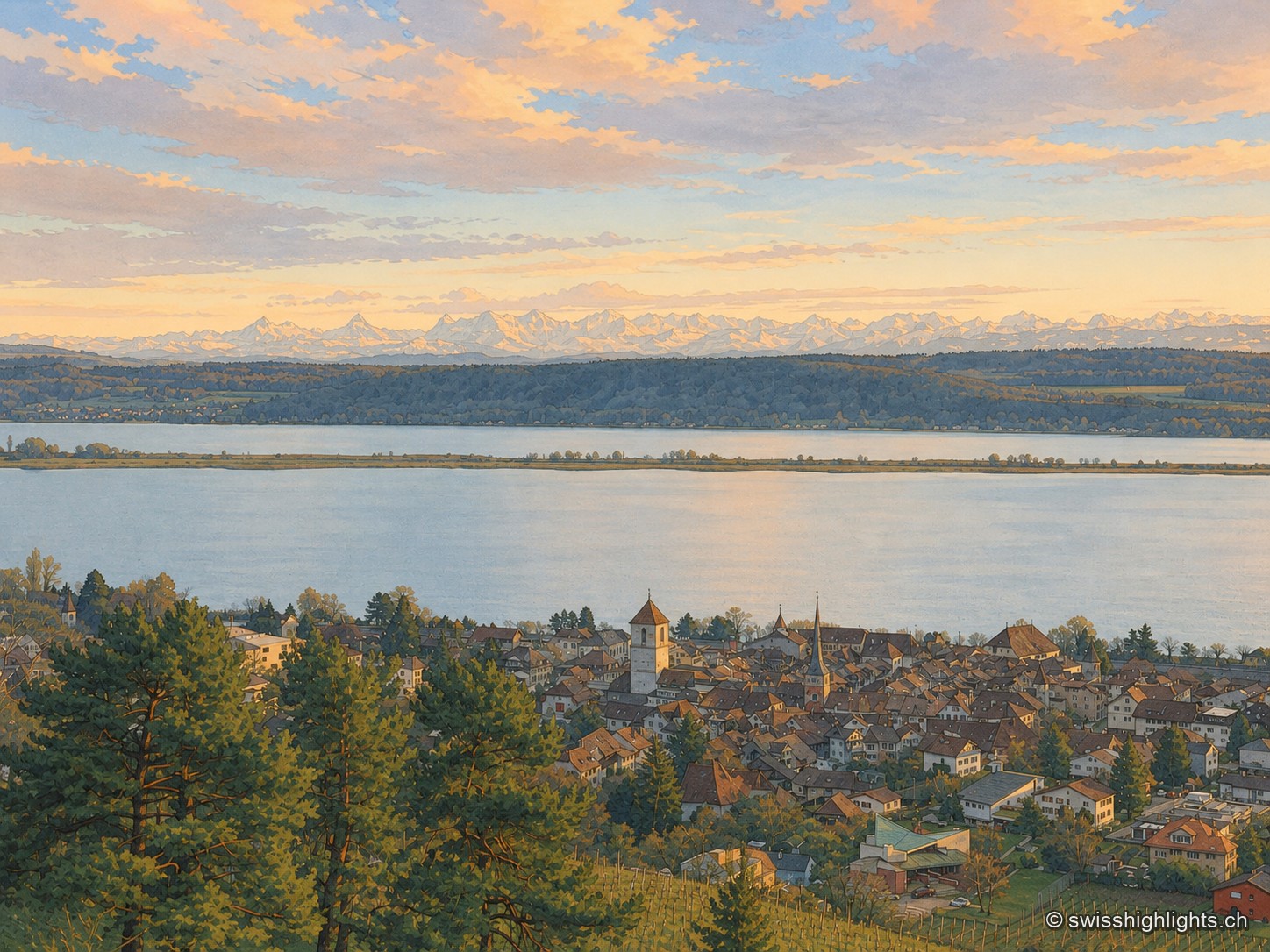
Medieval town · Lake Biel · 16 km as the crow flies
La Neuveville
Cobbled streets, fountains and coloured shutters between water and vines. The Schlossberg holds the cliff above the roofs; outside the walls, the Blanche-Église keeps frescoes from the 14th and 15th centuries.