Wine village · La Côte, Vaud
Bursins
A wine-growers' village set on the slope of La Côte, at 473 metres, about a hundred metres above Lake Geneva.
Bursins occupies the lower southern slope of the Vaud Côte, at 473 metres, in the district of Nyon. The village stands slightly raised, about a hundred metres above the level of Lake Geneva, which gives it the long view typical of this hillside: vines first, then the cultivated plain at the foot of the slope, then the water and the Savoy shore. The commune covers 3.36 square kilometres, stretching from the Fossy stream up to the wooded ridge, where it reaches 830 metres in the Grandes Tattes woods. It had 814 inhabitants on 31 December 2024.
The top of the village is held by the church of Saint-Martin, built in the 11th century. Of the Romanesque building the north apse survives; the chancel is Gothic, the tower stays within the Romanesque tradition, and the chapel of Saint-Nicolas belongs to the Flamboyant style. From 1238 the church formed a small priory dependent on the abbey of Romainmôtier; the former priory building now serves as the parsonage. Church and priory together are listed among Swiss cultural properties of national significance.
Around them, the buildings tell of a commune of wine growers and well-off families: the present château dates from the 18th century and keeps a late Gothic stair turret; the fortified house of Le Rosey, with its round towers, goes back to the late Middle Ages; the old core preserves wine-growers' and burghers' houses from the 17th to the 19th centuries, several of them built by Huguenot refugees. Peter Ustinov settled in Bursins in 1957 and has been buried there since his death in 2004.
Why this place is remarkable
Bursins owes its singularity to a mismatch: a village of vines, whose written history begins in 1011 with the gift of its church to the monastery of Romainmôtier by Rudolph III, king of Burgundy, and whose oldest building — an 11th-century church that became a priory in 1238 — still stands above the rows of vines. The slope is short, the view long: a hundred metres of height separate the houses from Lake Geneva, enough to take in the whole lake and the far shore.
History and origin
The ground was settled as early as Roman times, as remains of house foundations near the church attest, and Carolingian graves have been uncovered. The first written mention dates from 1011, in the form Bruzinges: the charter seals the gift of the village church to the monastery of Romainmôtier by Rudolph III, king of Burgundy. The name comes from the Latin personal name Bruccius or Bruttius with the suffix -anum. After Bern's conquest of the Vaud country in 1536, Bursins came, as an exclave, under the bailiwick of Romainmôtier. The village joined the association Les plus beaux villages de Suisse in 2022.
What to do and see
- Climb up to St Martin's church, where the 11th-century Romanesque apse stands beside a Gothic choir and a Flamboyant chapel.
- Spot the 18th-century castle and its late Gothic stair turret, as well as the Rosey stronghold and its round towers.
- Enjoy the long view from the slope, a hundred metres above Lake Geneva, over the cultivated plateau and on to the Savoy shore.
Coming with family: what to know
- The municipal territory, 3.36 square kilometres, rises from the Fossy stream up to the wooded ridge of the Bois des Grandes Tattes, at 830 metres.
As a couple
- Stroll through the old core, among winegrowers' and bourgeois houses from the 17th to the 19th centuries.
- Look for the houses built by Huguenot refugees in the village.
- Walk to the grave of Peter Ustinov, who settled in Bursins in 1957 and has been buried there since 2004.
Location
Loads an interactive Google Maps view on demand, from the place's verified coordinates.
The embedded map will be enabled once an authorized Google Maps key is configured. Use the link above in the meantime.
The map could not load. Check your connection or use the link above to open the place in Google Maps.
Related places
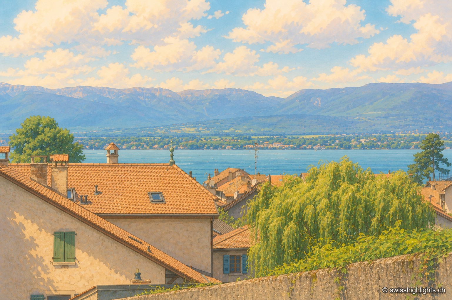
Medieval town · Geneva · 18 km as the crow flies
Hermance
A new town laid out by the lords of Faucigny, Hermance still has its ring wall, the round keep raised around 1337-1338 and a harbour of 159 berths. Savoyard until the Treaty of Turin of 1816, it covers just 1.44 km².
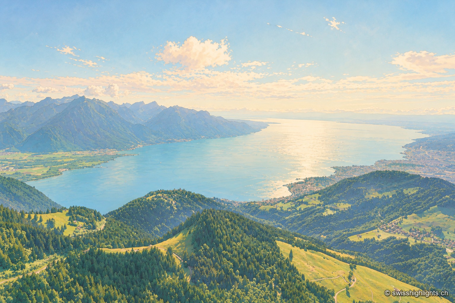
Glacial lake · Vaud, Geneva, Valais · 20 km as the crow flies
Lake Geneva
72.8 km long and 309.7 m deep, Lake Geneva draws 75% of its inflow from the Rhône. The northern shore is Swiss, the southern shore French, and the border runs through the water.
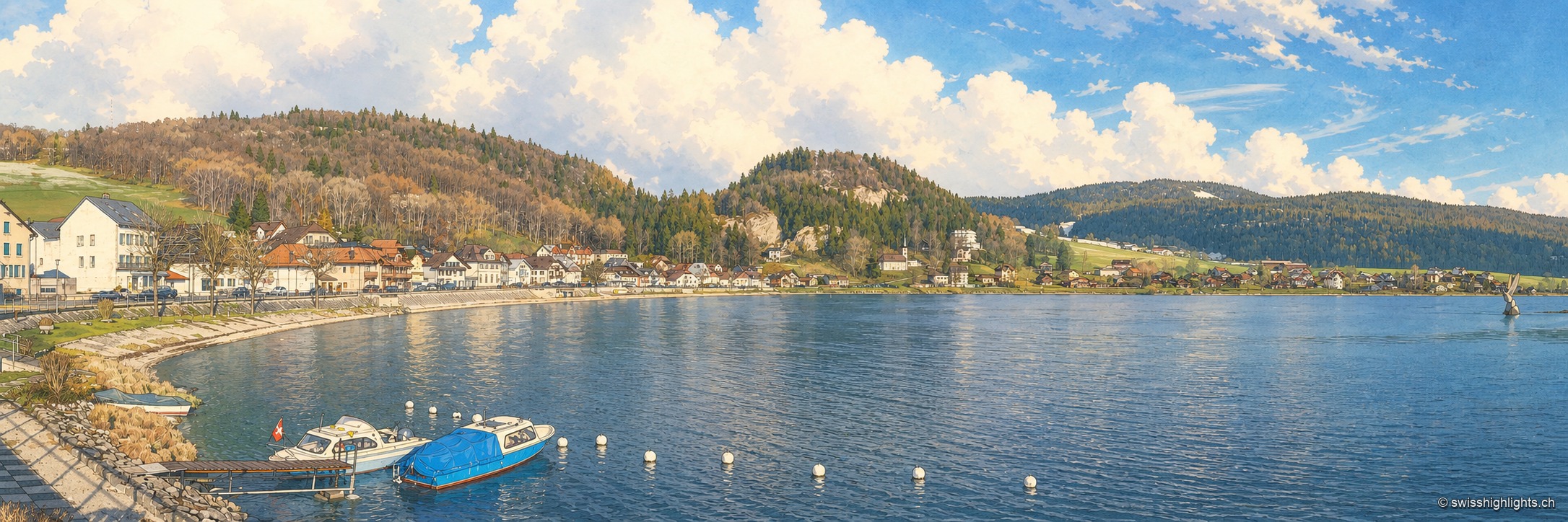
Hamlet on Lac de Joux · Vaud · 24 km as the crow flies
Le Pont
On an estate once named Champ du Port, a bridge built in the 17th century by Le Lieu and Le Chenit gave the hamlet its name. The railway brought French families; the Grand Hôtel rose in 1900-1901.