Medieval town · Geneva
Hermance
At the eastern tip of the canton of Geneva, a fortified town wedged between the shore of Lake Geneva and the river that marks the French border.
Hermance occupies the eastern tip of the canton of Geneva, where the south shore of Lake Geneva meets the French border. The town reads on two levels: a lower part of narrow streets turned towards the water, an upper part dominated by the tower. The harbour holds 159 moorings, 20 of them in the old basin known as the Port des mouches. From the bank the eye crosses the Petit-Lac to the Vaud villages of Coppet and Tannay.
The plan of the medieval new town is still legible: the ring wall survives along much of its course inside the masonry of the houses built against it, and the former keep of the Dauphins, a heavy round tower raised around 1337-1338 on the wall of the castrum, stands to the south-west of the Bourg-Dessus. The church of Saint-Georges, the tower and the remains of the wall are listed in the Swiss inventory of cultural property of regional importance. The sources disagree on the foundation: the middle of the 12th century for one, the middle of the 13th for the other.
The town stayed Savoyard for centuries and even held the seat of a castellany after the Faucigny passed to the House of Savoy in 1355. The Congress of Vienna, on 9 June 1815, made the river Hermance a state boundary; the Treaty of Turin of 16 March 1816 attached the village to the canton of Geneva, and the border became Franco-Swiss in 1860. The links followed: the left-bank road in 1851, a regular steamer service in 1873, an electric tramway from Geneva in 1901, replaced by buses in 1958. On 31 December 2024, 1,246 people lived here.
The commune covers only 1.44 km², which makes it the second smallest in Geneva; the 2013-2018 survey counts 56.3% farmland and 12.5% woodland. Upstream of the town, the Hermance valley has been protected since 1979, from the Crévy bridge to the first houses; the WWF and BirdLife International rank it among the sites of national importance for biodiversity. The river, 13 km long, rises at 563 metres in Haute-Savoie and ends in the lake through a delta rebuilt by the canton.
Why this place is remarkable
Few small towns keep the plan of a medieval new town so clearly: here the ring wall did not vanish, it was absorbed by the houses that leaned against it, and the round tower of 1337-1338 still holds the south-west corner. The place also owes its shape to a border: the river along the village has separated two states since 1815, and the town itself changed country in 1816.
History and origin
The Hermance basin carries the geology of a glacial plain: Tertiary molasse alternating sandstone and marl, older alluvial deposits of sand and gravel, Würm moraine of clay and silt, and recent sediments forming the delta and a Holocene terrace. The older forms of the name — Ermentia, then Eremencia in 1271 and Hermencia in 1326 — come shortly before the keep was built.
What to do and see
- Follow the line of the medieval walls, absorbed into the masonry of the town's houses.
- Observe the old Dauphins keep, a circular tower raised around 1337-1338 south-west of the Bourg-Dessus.
- Walk along the shore of Lake Geneva to the port and its old basin, the Port des mouches.
- Go up the sheltered Hermance valley from the Crévy bridge.
Coming with family: what to know
- The town reads on two levels, a lower part and an upper part around the tower, with narrow streets.
As a couple
- Walk along the medieval walls, still readable in the houses' walls.
- Look from the shore at the Petit-Lac and the Vaud villages of Coppet and Tannay.
- Stop in front of the Dauphins keep, a 14th-century circular tower.
- Follow the Hermance valley, protected since 1979, upstream of the town.
Location
Loads an interactive Google Maps view on demand, from the place's verified coordinates.
The embedded map will be enabled once an authorized Google Maps key is configured. Use the link above in the meantime.
The map could not load. Check your connection or use the link above to open the place in Google Maps.
Related places
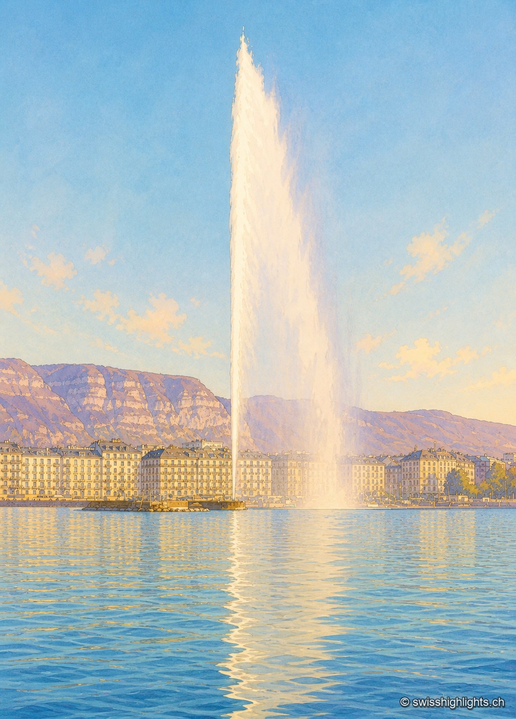
City · Canton of Geneva · 13 km as the crow flies
Geneva
The commune covers 15.93 km² and counted 203,856 inhabitants; the cross-border conurbation around it holds 1,053,436. Since 1891 the Jet d'Eau has thrown its column 140 metres above the bay.
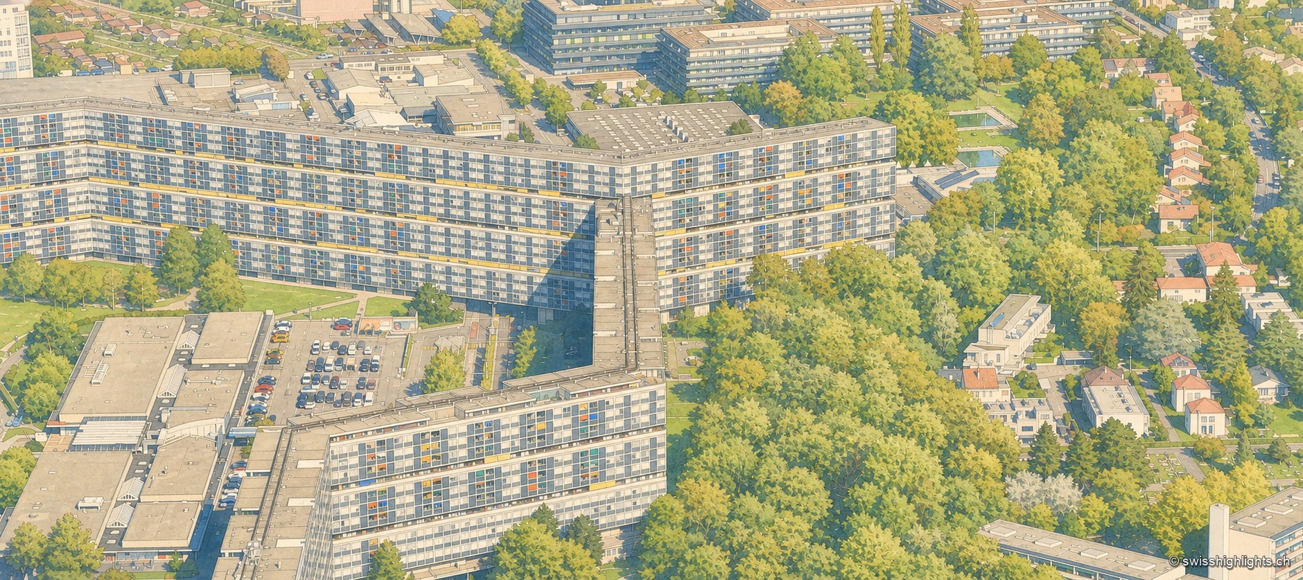
Modernist estate · Geneva · 15 km as the crow flies
Cité du Lignon
Built between 1962 and 1971 on former farmland in Vernier, the estate holds 2,780 dual-aspect flats and two towers, one of them 91 metres high, on just 8% of its ground.
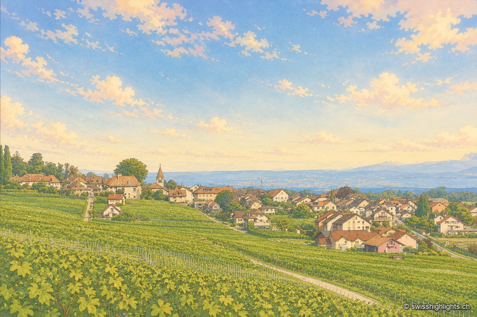
Wine village · La Côte, Vaud · 18 km as the crow flies
Bursins
The church of Saint-Martin, built in the 11th century and a priory of Romainmôtier from 1238, holds the upper end of the village. Below it the vines run down towards the plain and the lake.